Rosario – Lindeys Landing West
| 26 | W49 | M35 | 387 NM | 3h54mins |
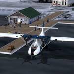
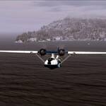
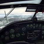
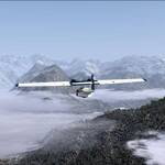
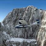
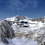
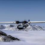
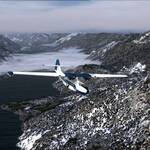
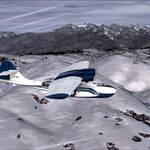
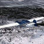
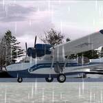
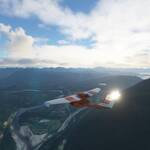
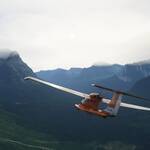
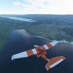
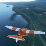
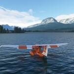
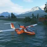
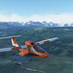
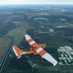
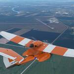
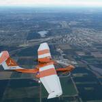
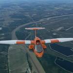
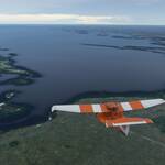
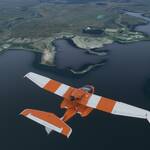
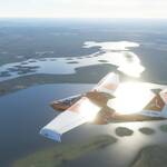
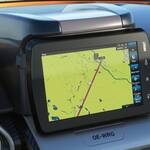
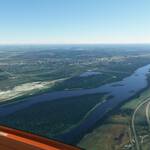
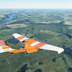
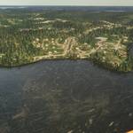
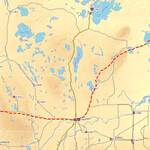
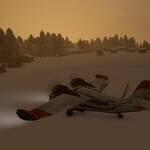
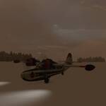
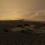
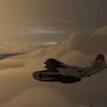
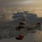
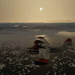
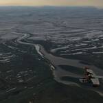
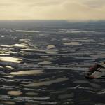
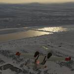
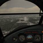
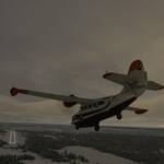
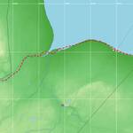
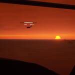
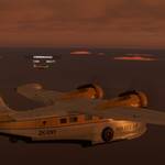
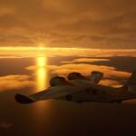
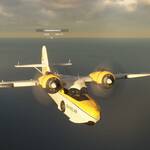
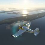
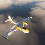
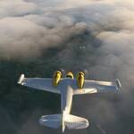
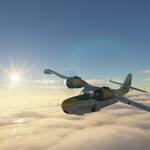
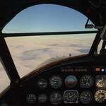
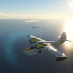
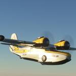
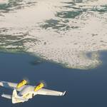
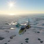
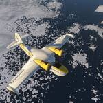
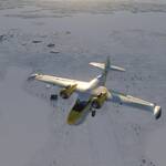
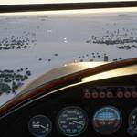
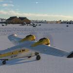
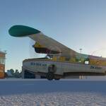
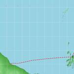
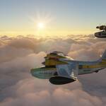
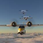
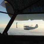
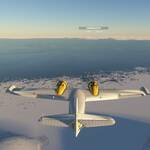
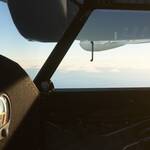
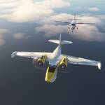
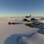
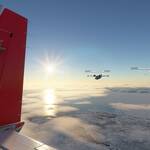
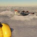
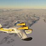
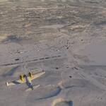
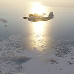
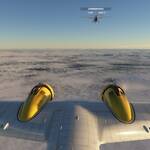
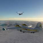
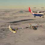
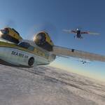
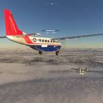
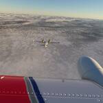
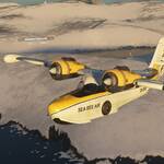
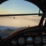
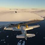
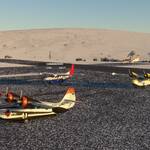
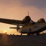
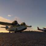
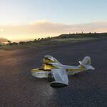
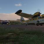
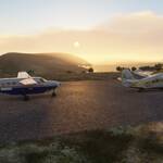
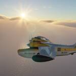
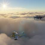
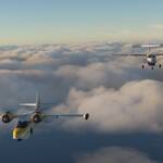
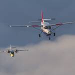
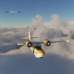
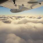
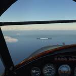
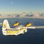
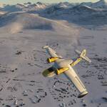
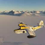
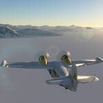
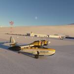
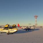
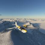
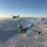
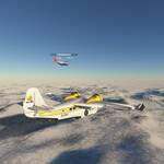
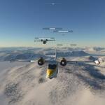
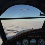
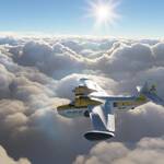
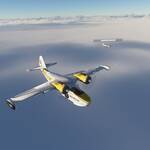
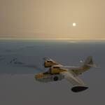
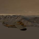
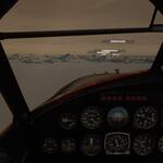
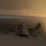
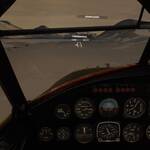
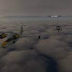
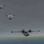
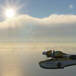
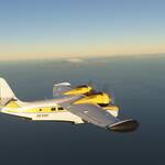
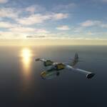
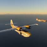
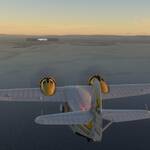
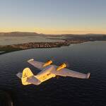
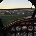
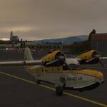
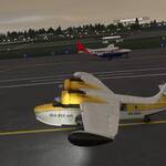
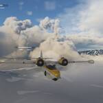
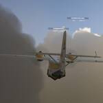
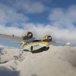
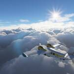
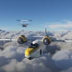
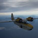
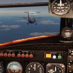
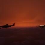
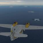
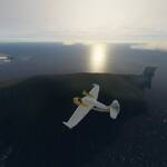
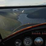
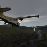
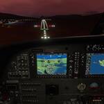
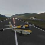
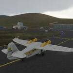
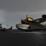
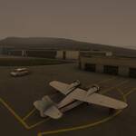
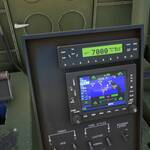
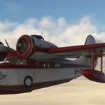
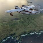
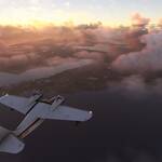
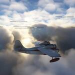
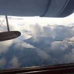
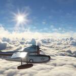
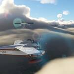
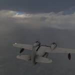
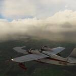
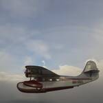
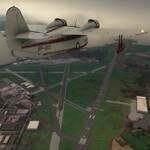
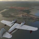
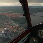
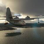
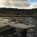
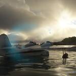
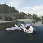
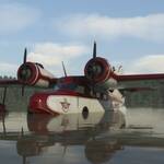
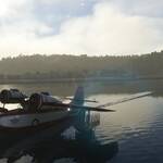
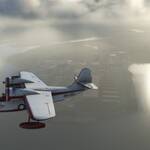
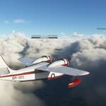
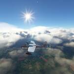
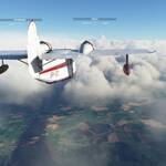
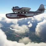
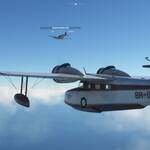
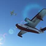
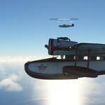
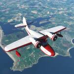
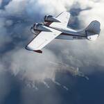
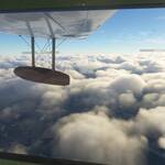
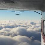
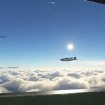
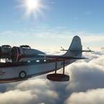
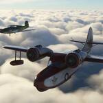
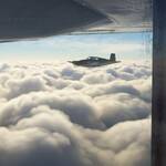
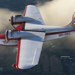
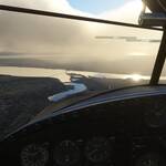
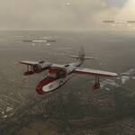
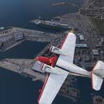
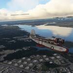
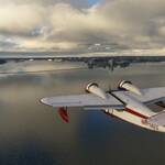
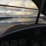
Noch kürzer als letztes Mal geht es heute durch die Rocky Mountains. Kurz aufgrund der schwierigen Navigation durch enge Flusstäler, die teilweise mit der Catalina auf Baumwipfelhöhe überflogen werden müssen. Dazu kam noch marginales Wetter, was den VFR-Flug weiter erschwerte. Gemeinsam mit Fliegerkollegen Uli legte ich in Rosario los (1&2). Schon nach kurzer Zeit wurde das Wetter immer schlechter und die Berge immer höher (3&4&5). Die erste Schlüsselstelle war der Cascade Pass mit 5440ft, da musste sich die Catalina schon richtig strecken (6&7). Dann ging es wieder in die Ebene hinunter (8&9&10). Uli schloss zum Formationsflug auf (11), als auch noch Schneefall einsetzte auf der letzten schwierigen Etappe. Unser Endziel, der Seeley-See liegt auf immerhin 4000ft, auch hier musste die Catalina wieder klettern (12). Und trotz genauester GPS-Planung wäre es fast schief gegangen, als ich ein Tal zu spät abgebogen bin und auf einmal vor einer 6000ft hohen Wand stand. Es hat gereicht und schliesslich stand dem Anflug auf Lindeys West (13) und der Landung auf dem zugefrorenen See nichts mehr im Weg (14).
Lindeys Landing West – Babb
| 27 | M35 | 49S(Vincinity) | 116NM | 1h17mins |
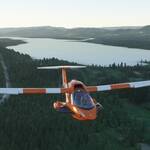
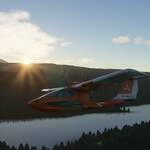
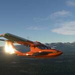
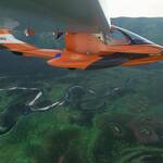
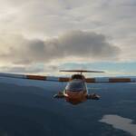
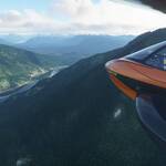
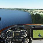
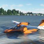
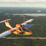
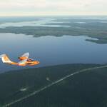
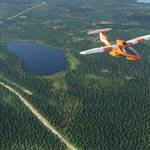
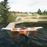
After changing over to MSFS this was planned as short test flight with the new boat – the Icon A5. Start in Lindeys was rather early, but the sun came up just as I left. I continued to follow the valley North to Kalispell. There I turned East to follow Route 2 and reached Lake McDonald. After the lake I entered the valley up to Logan Pass at 6,646 ft (2,026 m). My plane struggled on the last few hundred feet and I just mad it above the pass. Then it was downhill to the Upper and Lower Saint Mary Lake, where I had spotted a gas station for boats. And just as I touched down lightning and thunder roared over the mountain pass I just had been 15 mins earlier. What a flight!
Babb – Lake Newell
| 28 | 49S (Vincinity) | CYBP (Vincinity) | 141 NM | 1h17mins |
Roaring out from the lake I turned North immeadiatly, to catch Hwy 89 (USA) respective Alberta Hwy 2 (Canada) up to Cardston. Here the Blood Indian 148 Reserve starts and I followed its eastern border along Hwy 5 overflying the Spring Valley Colony. Lethbridge Airport and City marked the end of the reserve and I turned East towards Taber Airport. At Taber the flightplan turns North along Hwy 36 right up to Lake Newell. Landing in Newell was easy, but the taxi back into the port was not. Heavy winds blew my boat south and I had to make a full 360 to reach the pier.
Lake Newell – Aquadeo
| 29 | CYBP (Vincinity) | CYQW (Vincinity) | 206 NM | 2h36mins |
Under an orange morning sky I fired up the Icon A5 for another trip north. Right after the start Brooks came into view, but the weather got worse. Lightning and thunder accompanied me during the first hour. And just as I admired the scenery at Dinosaur Provincial Park I was hit with ice. The speedometer went to zero and I went for a dive to warm it up. The speedo came back shortly after, but the view did not. Only after I cleared the clouds the ice slowly melted away. It took another hour until North Battleford with its many, many lakes came into view. One of them, Jakefish Lake, was my destination. And after an overflight I landed along the coast and turned into the port.
Aquadeo – Pelican Narrows
| 30 | CYQW (Vincinity) | CKE4 | 281 NM | 3h02mins |
I left Aquadeo under the full moon and followed Highway 4 North up to Glaslyn. While fighting gusty winds from behind I flew East for nearly an hour with Highway 3 as my main navigation asset. I watched the sunrise as I reached Prince Albert and continued on Highway 55. At Meath Park I turned north again and the wind eased up on me. Candle Lake came into view shortly thereafter. I was off the main roads now and started lake hopping. White Gull Lake was next, gleaming in the sun. I flew along the long streched Little Bear Lake with its resort & airport. As I continued farther Northeast on Hanson Lake Road (Highway 106), I passed Deschambault Lake Resort. I finally turned North again at Jan Lake and its airport to get on the road to Pelican Narrows. Soon after I had Pelican Lake on my left and Mirrond Lake at my right. I overflew Pelican Narrows to search for my landing spot and landed right next to the little peninsula with the red roofed house on it. The taxi in needed a few attempts as strong westerly wind blew my off course a couple of times.
Pelican Narrows – Little Churchill River
| 31 | CKE4 | CJN7 | 264 NM | 2h36mins |
I decided to leave early again, as the morning sun really does magic on the Canadian landscape. I was greeted by a beautiful sky and sunrise. I flew over woods and lakes all the time, with only a lone resort hotel ducked into a bay somewhere. Sandy Bay was the roads end literally, I had to rely on my GPS for a while. Flying over half frozen lakes and rivers I felt a chill my cockpit at certain times. Pukatawagan had had a runway once, but it is long gone. After flying over a especially beautiful frozen lake, I found a road again to follow. The longest part of the trip lead me nicely into Thompson airport and city. From there it was only a short hop along many long lakes up to Split Lake. The last turn took me north and I finally reached Lake Waskaiowaka. The landing spot was easily found and I landed at the lake and sailed around a little peninsula to dock.
Little Churchill River – Fort Severn
| 32 | CJN7 | CYER | 325NM | 2h35mins |
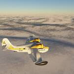
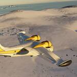
Winter is here! The lake had completely frozen over and thick snow was covering everything. Visibility was bad as well and the engines on my new boat (OZWookie’s Grumman Goose) had troubles to get to working temperature at -17° Celsius. I took off none the less, but I had to fight the plane and the clouds to stay airborne. At 3000 feet I got the first glimpse of the new cloud model and it made for epic views. But up to the Hudson Bay I was in the clouds most of the time. Finally, I reached open water and the clouds gave way to the beautiful landscape. An hour later Fort Severn came into view. The river seemed OK for a landing, but on closer inspection a lot of ice was present, so I opted for the runway nearby instaed.
Fort Severn – Puvirnituq
| 33 | CYER | CYPX | 504NM | 3h15mins |
Benjamin joined me on this flight across Hudson Bay. With a red glint on the horizon we started up and were soon flying into the beautiful sunrise. Weather was fine with a high cloud cover and only some clouds down low. A steadily breeze kept pushing us over Hudson Bay and after 2 hours we reached Sanikiluaq Airport on Flaherty Island. There Benjamin left the formation, real life was calling. I continued on over open water for half an hour before seeing land again. Overflying Inukjuaq the course remained unchaged to the North. Another 40mins later I could see the bay of Puvirnituq, but thick ice prevented a water landing. I had to land at the airport again. Welcome to Quebec!
Puvirnituq – Brevoort Island
| 34 | CYPX | CWOB | 462NM | 2h53mins |
As we started our engines in Puvirnituq the sun was just coming up and all was deep orange around us. But soon we got out of low visibility at 4000ft and had a wonderful view at the sunrise. Andreas, Benjamin and I regrouped and flew above puffy clouds towards Kangiqsujuaq (former Wakeham Bay). We reached the settlement after one hour a little bit ahead of plan due to a tailwind. We turned towards the open ocean and continued across the Hudson Street towards Iqaluit, the capital of Nunavut. We had ample opportunities for group shots, as the sky kept clear and wind was not an issue. The clouds got less and less and after another hour we saw Iqualuit airport and city center (including parlament and church) below us, nearly half an hour ahead on our plan. We turned east again and after a mere 40 minutes Brevoort Island finally came into view. The lake near the airport was frozen, so I had to use the short runway. The approach is deceiving with its near cliff and a continually rising runway. But we all stopped on the 820m dirt strip and parked at the apron after this 3 hour flight.
Brevoort Island – Nuuk
| 35 | CWOB | BGGH | 338NM | 2h30mins |
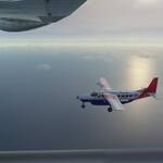
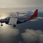
It should have been a boring one, 300 miles of open water. But it was not. Heavy winds up to 25 kts made the takeoff in Brevoort Island a challenge already and I nearly ditched the Goose in the bay right there. When we got through the clouds the wind eased a bit, but we battled it head on for the whole crossing. When we (Benjamin at my side with his Cessna Grand Caravan) left the coast behind we waited for the clouds to disappear, as it normally does when reaching open water in MSFS. But not this time. Clouds all the way to Greenland. And permanently rising. At the Canadian coast we had cruised at 4500 ft with good clearance of the clouds. Getting close to Greenland the clouds had risen to nearly 6000 ft. We were hopping the bottom had risen as well, as Greenland’s approach is into mountainous terrain. But, we should not have worried. Right as the first peaks of Greenland appeared the clouds thinned out and we had a clear view of Nuuk airport. We followed standard approach procedure on to the runway and landed nearly 30 minutes behind schedule thanks to the winds.
Nuuk – Kulusuk
| 36 | BGGH | BGKK | 379NM | 2h18mins |
This one was a bit different. I had my newphew on board and he did pretty much everything by himself. Due to cockpit explanation it took us a little longer to get to the runway and we started after most of our group had already taken off. Benjamin in his trusty Cessna, Frank in his Goose and Andreas in the new Mooney joined me on this one. We regrouped above the clouds and trimmed for level flight. But somehow clouds kept rising until we recognized this was not clouds but ground fog and the ice was directly below us steadily rising to nearly 9000ft. Also, we encountered an unusual number of planes flying in the other direction. Our guess was they were doing a flight simulator challenge. My nephew had the boat in a steady climb and we were usually above our coflyers. After an hour the terrain went downhill again and we reached open water about half an hour later. The sky changed to a deep orange as we below the clouds for our approach. In Kulusuk a number of planes were doing approaches and patterns and we had to find a slot to glide in. Leaving the runway as soon as we could we rejoined at the apron for the group shot.
Kulusuk – Rekjavik
| 37 | BGKK | BIRK | 398NM | 2h56mins |
We are leaving Greenland and fly across Denmark Strait to Iceland. Weather in Kulusuk was very marginal, up to 50kts of headwind with heavy rain and snow had us flying our aircrafts (Benjamin again with his Grand Caravan and Frank with his Mooney) to the limit to stay airborne. We treid to find the ceiling of the clouds, but there was none and for the first hour we had no visual contact to each other. But than holes formed in the clouds and I broke through the clouds right between to layers to one of the breathtaking sights I have ever seen in a flight sim. We regrouped after Benjamin and Frank were also in the clear. The wind eased up on us and we speed up to usual cruise speeds. The flight was smooth sailing from there on until we reached Rekjavik. The weather look fine for me to try a landing on water at the harbour but the waves still showed foam crests and the wind was blowing with gusts up to 30 kts. So, all 3 of us went for the runway.
Rekjavik – Vagar
| 38 | BIRK | EKVG | 421NM | 3h35mins |
At sunrise we had once again strong headwinds of up to 60 knots rolling out to the runway. The Goose stretched its wings and soared into the sky like a rocket. Once we (Benjamin and Andreas were in on this one) were airborne we soon encountered clouds and rain. The rain turned to snow and Andreas flew higher and higher until he came out of the clouds at 15.000 feet. I struggled to gain that altitude as ice had formed on my wings and I only barely could keep the plane in the air. As we continued on the headwind lessened to 40 knots and we found clear sky at 10.000 feet, right between the layers. As we approached Varga, we recognized the off-center localizer approach through a valley, an unexpected challenge for such a small island. The wind blew erratically and we fought hard not to be smashed into the mountain side. But we were able to reach the ground safe and sound once again blown away by the scenery MSFS provided.
Vagar – Tiree
| 39 | EKVG | EGPU | 340NM | 3h20mins |
Very bad weather on this one. Starting out from Vargar there were low clouds at 3000 feet and a heavy headwind of up to 50 knots. I cruised at 4000 feet just above the clouds. When I reached Scotland I dove beneath the clouds to get a few pictures and then rose up again to 10.000 feet were the wind was not as heavy. Looking at my fuel I was sure I would not make it to Shannon (still 3 hours out at that time), so I opted for Tiree instead and landed on the shores of Gott Bay. The landing was quite sideways and the plane was very hard to maneuver on the deep sand. But after a few tries I made it up the ridge to Tiree Lodge. Lets wait for better weather.
Tiree – Shannon
| 40 | EGPU | EINN | 324NM | 2h29mins |
After the shortened flight yesterday, I hoped for better weather today. But as I climed into the cockpit, a little snowstorm was blowing outside. Faithfull in weather reports I took off from the beach at Gott Bay non the less. As I climbe to 12.000 feet the weather did indeed clear up a bit and sometimes I could make out land through the clouds. Many planes were up in the air today and the time went by quickly with all the chatter on the radio. Over Dublin I turned west again to reach Shannon airport. And indeed the weather had cleared up nicely and I even saw a rainbow. Shortly thereafter I landed near Foynes, home to a Boeing 314 Clipper replica. A fitting second to last stop for this tour that originally started on a Clipper.
Shannon – Southampton
| 41 | EINN | EGHI | 340NM | 2h11mins |
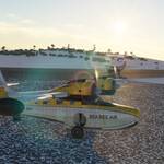
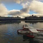
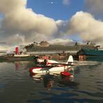
It was time for the final flight of the tour. The winds had calmed, no rain or snowfall was in sight and I was joined by Andreas. I took off from Foynes and flew back to Shannen were I met with Andreas who had just taken off from the runway. With a low tailwind weclimed to 10.000 feet effortlessly and settled in for the cruise. On the short hop over the St. George’s Channel we did fly close formation, a fantastic photo opportunity. On reaching Compton (north of Southampton) Andreas went down through the clouds and reported the ceiling back to me. I then started to decend as Andreas was already entering the pattern to land on runway 32. I continued on south until I reached the harbour and looked for my landing spot. The landing was perfect and the the taxi in passing those great cruise ships a breeze. Near the Ferry Terminal I dropped anker for the final time and admired the scenery. Done! Finished! Nearly 30.000 nautical miles flown, 200 hours of flying time, what a trip!
