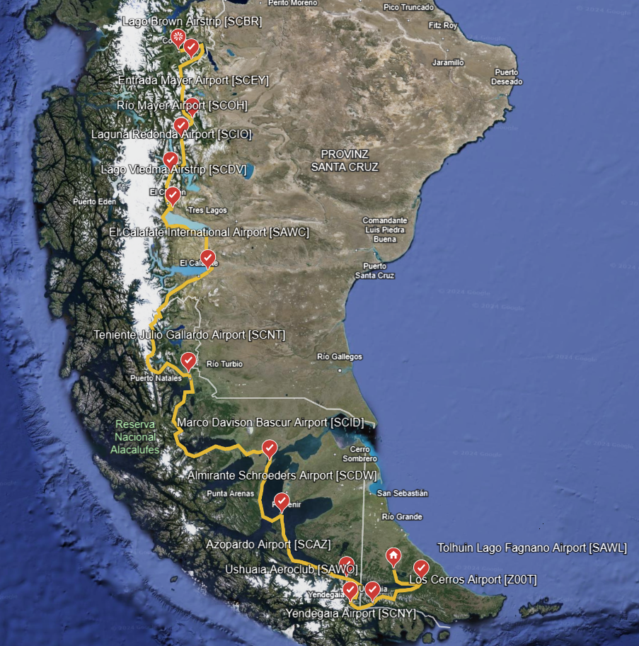
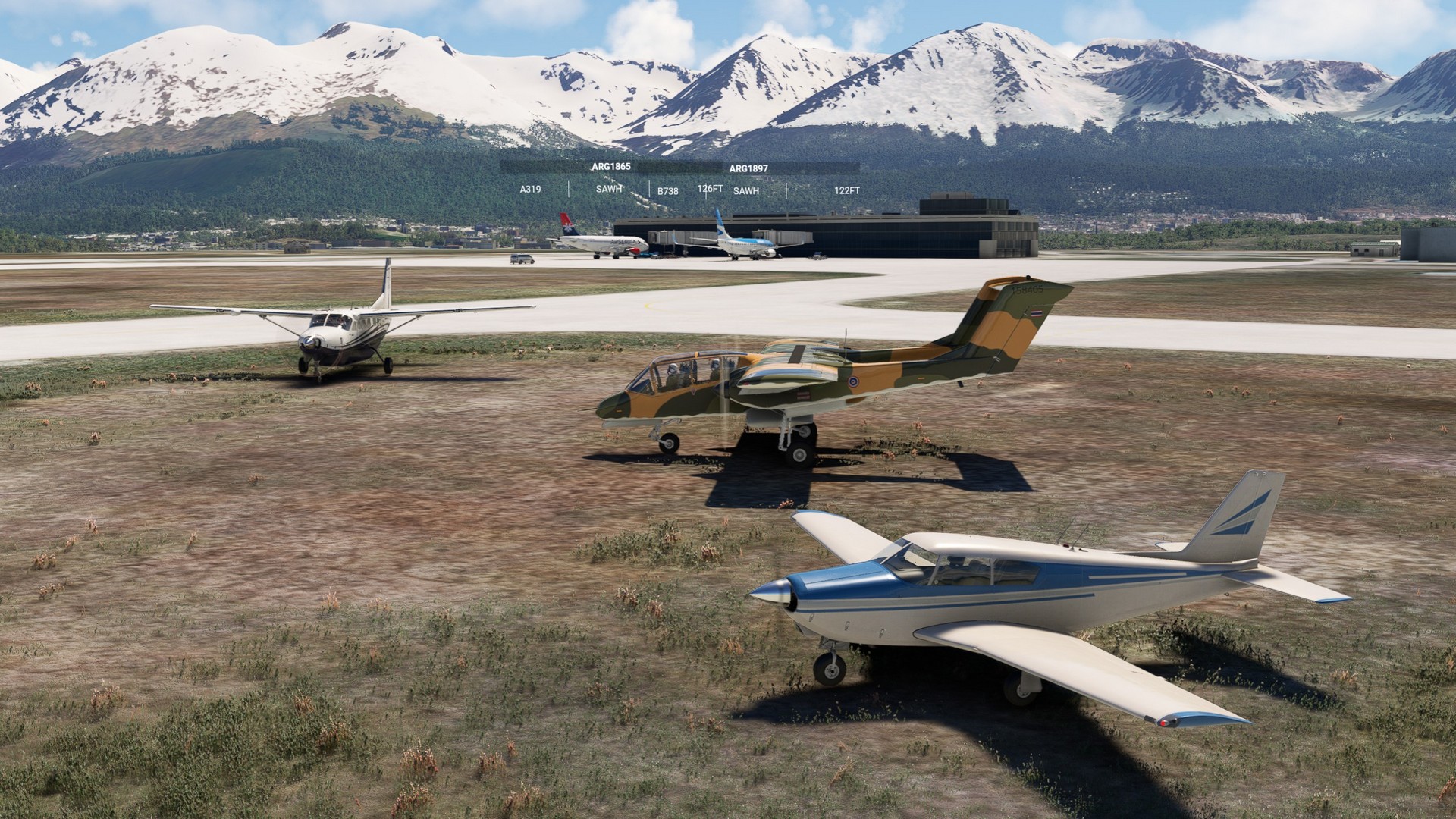
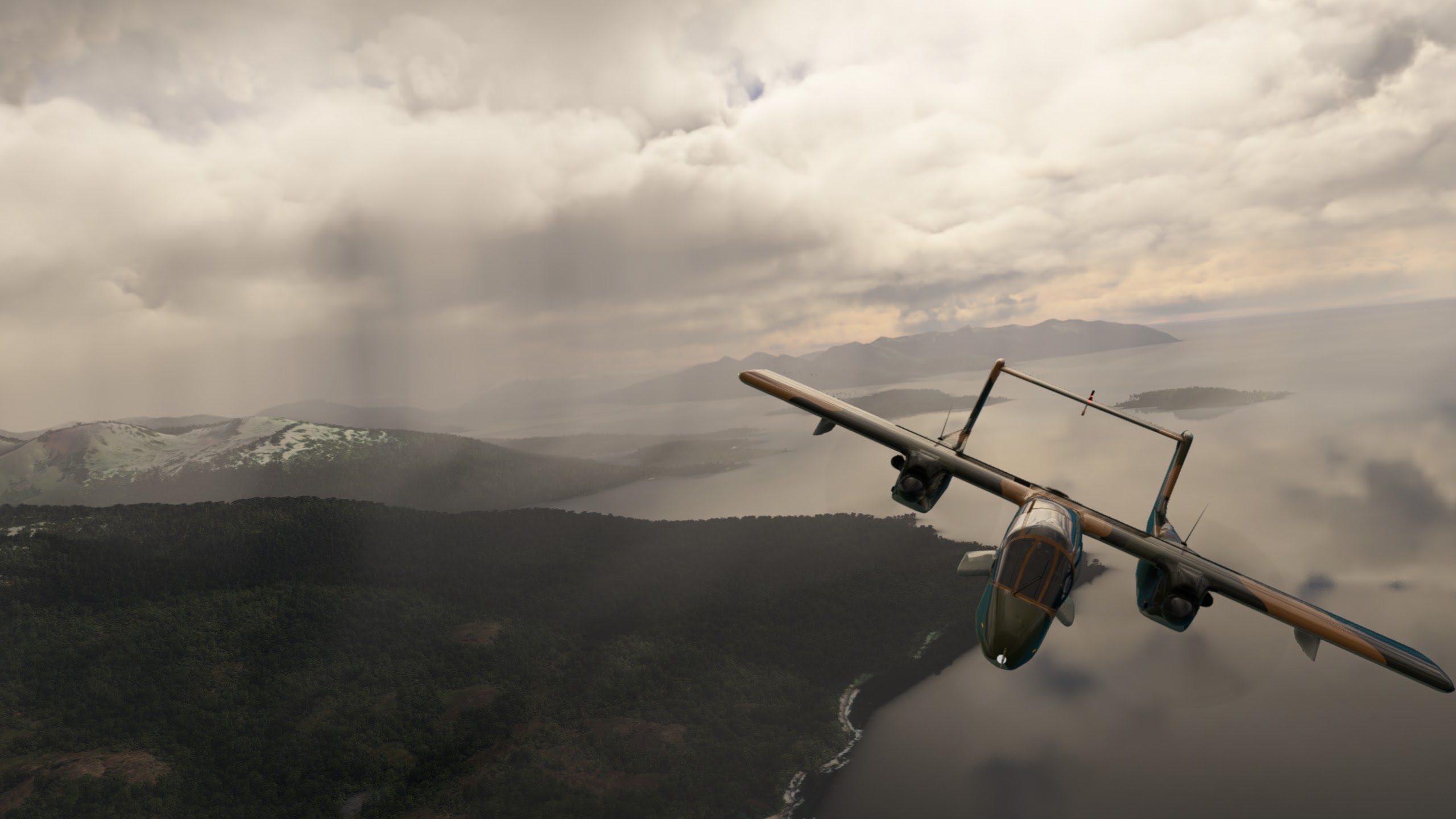
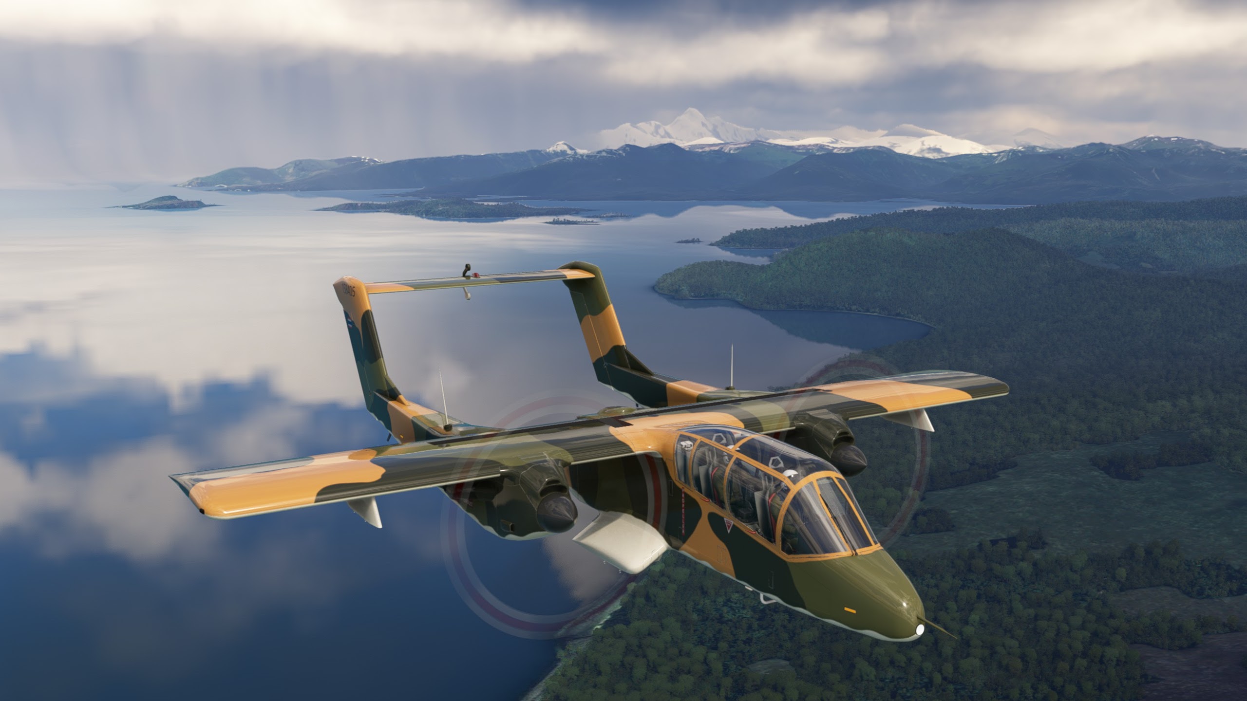
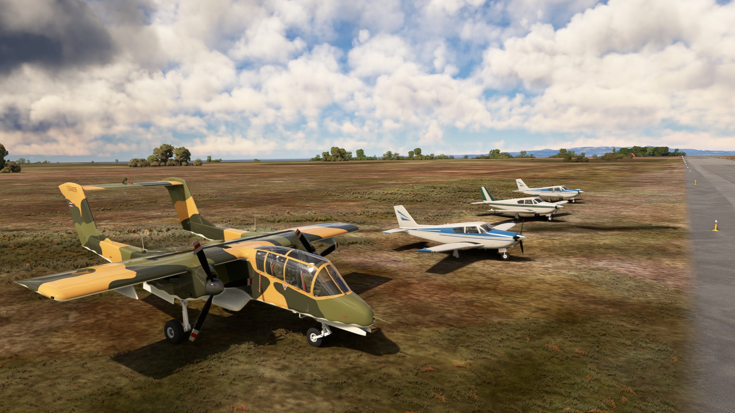
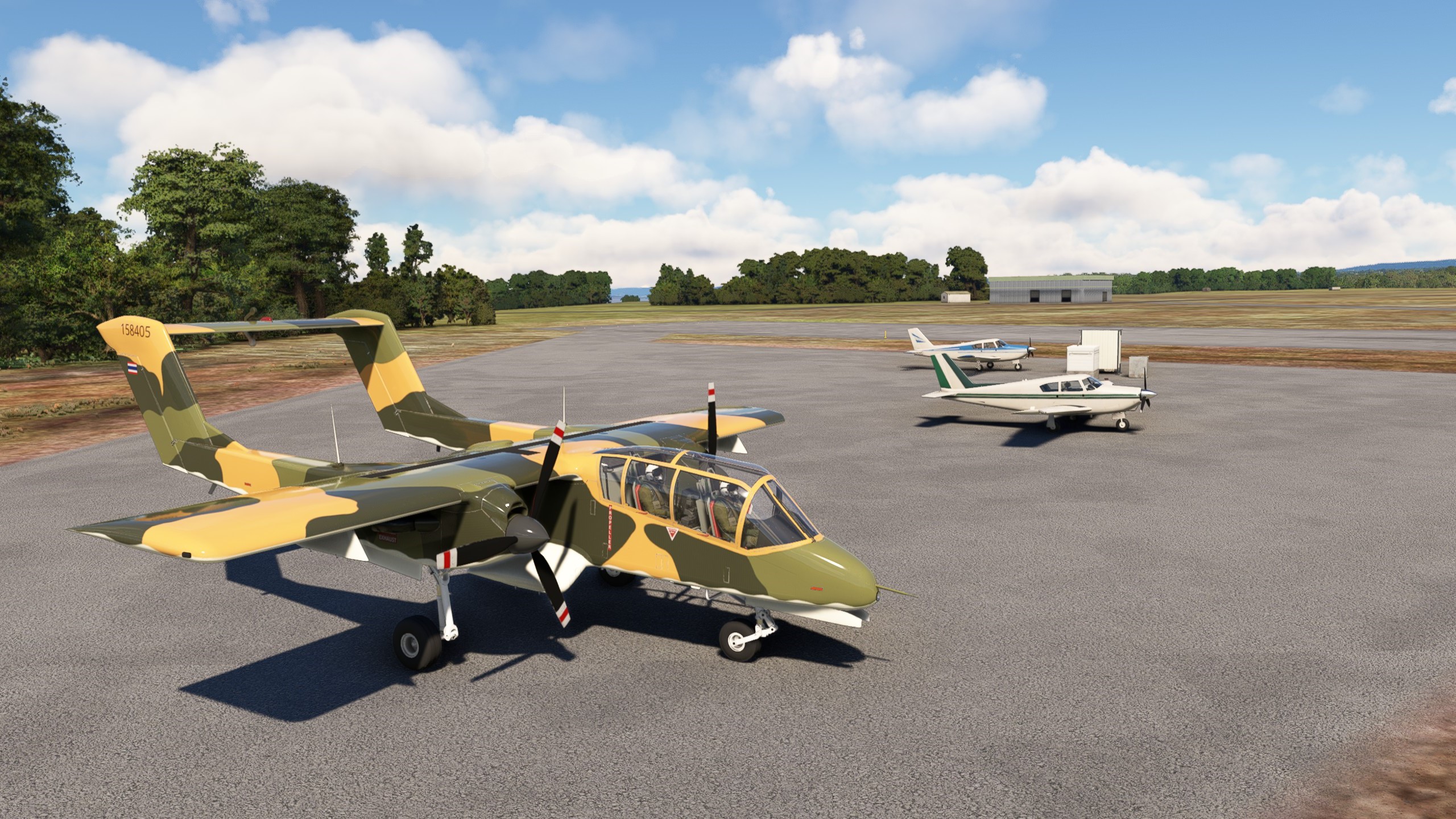
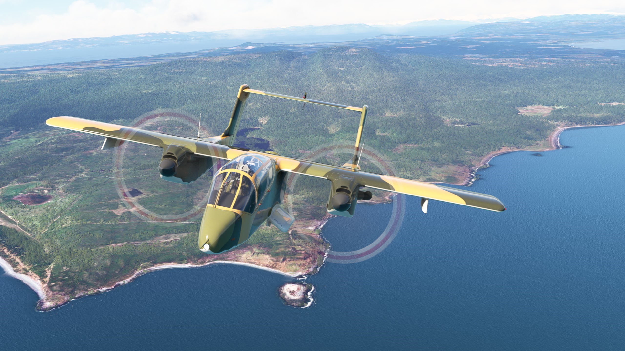
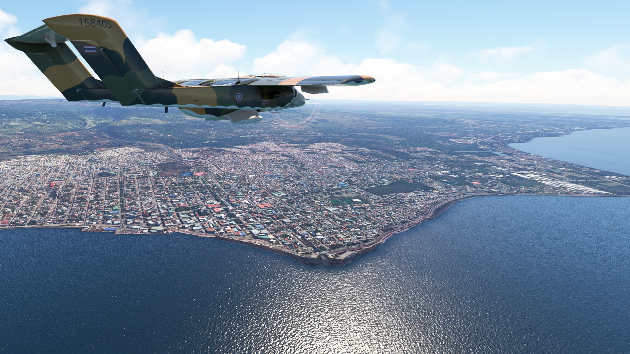
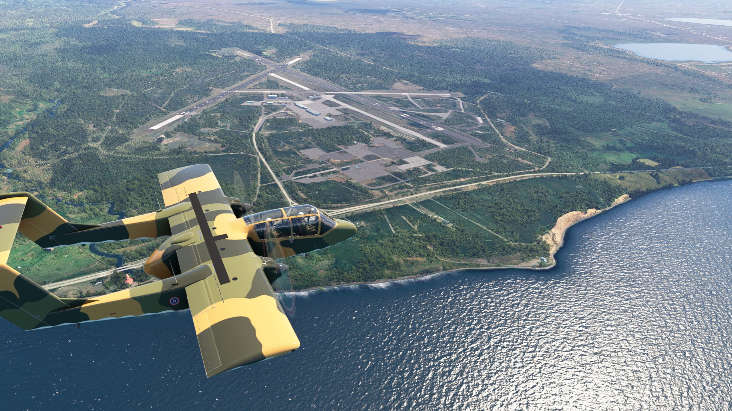
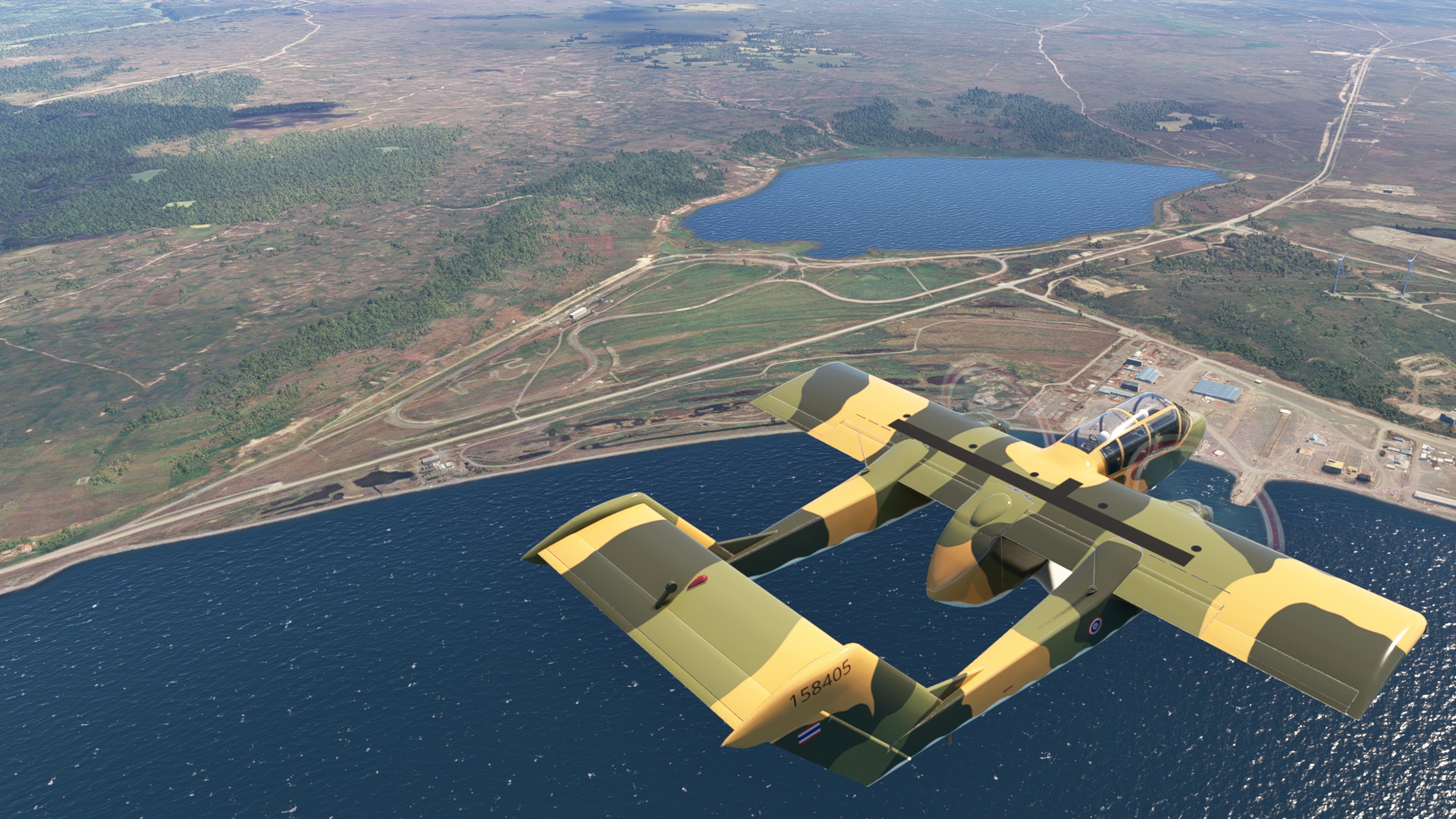
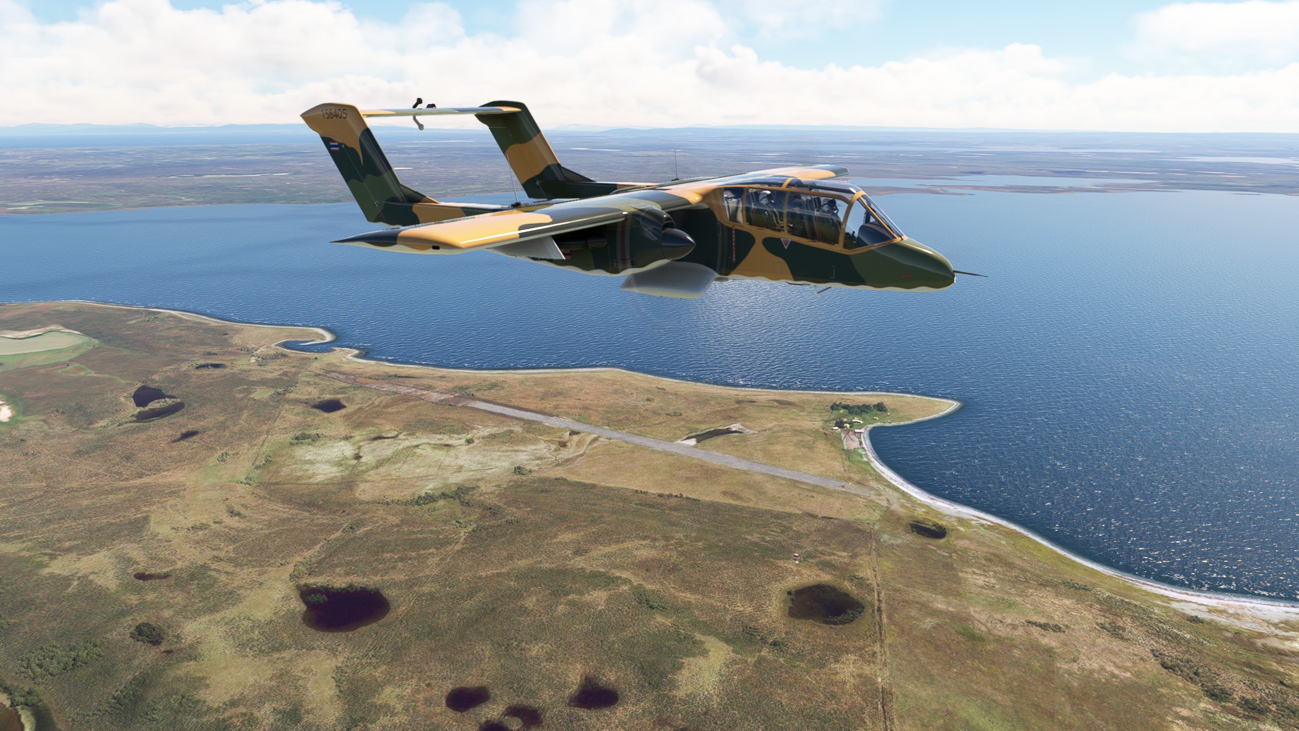
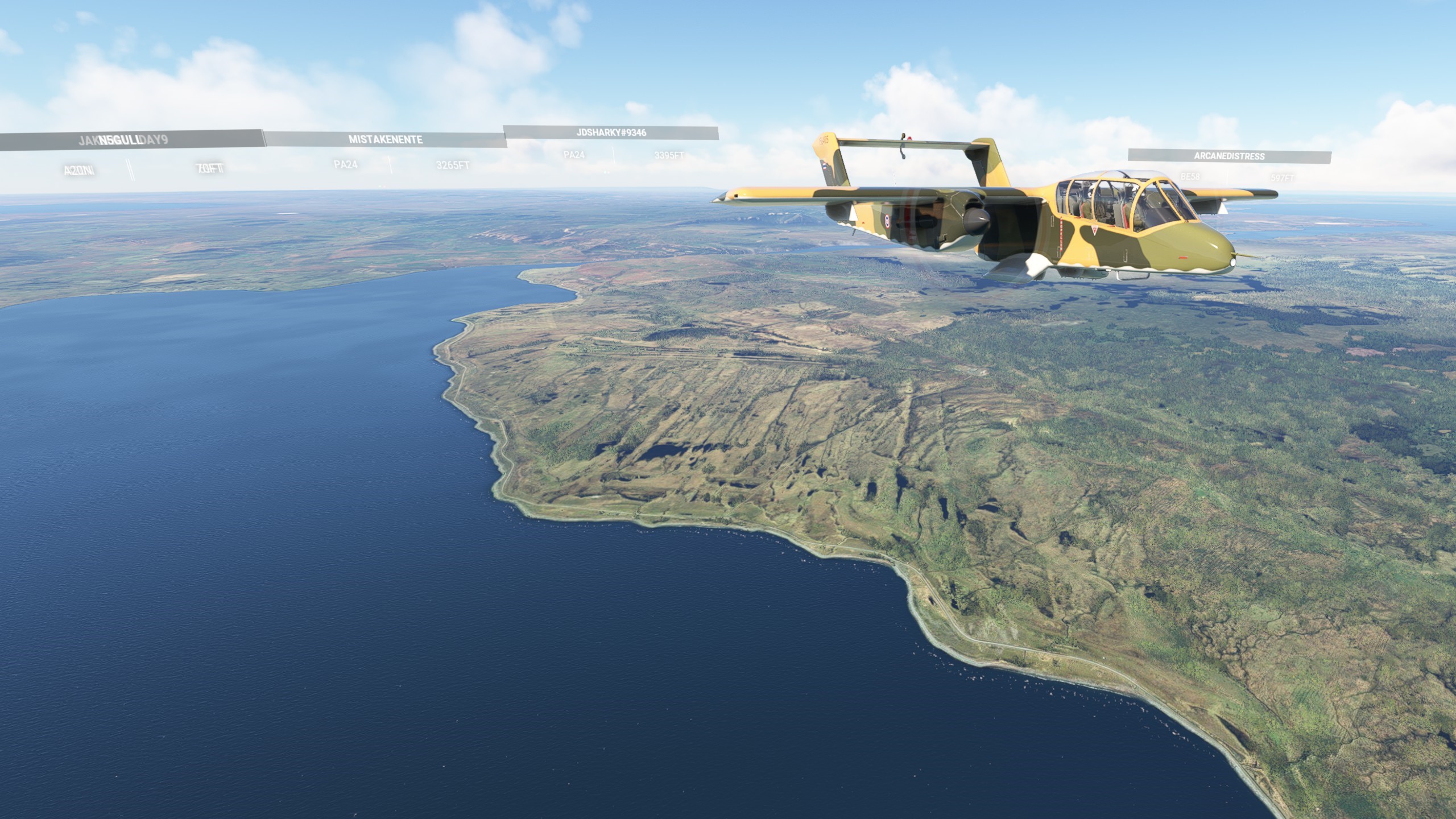
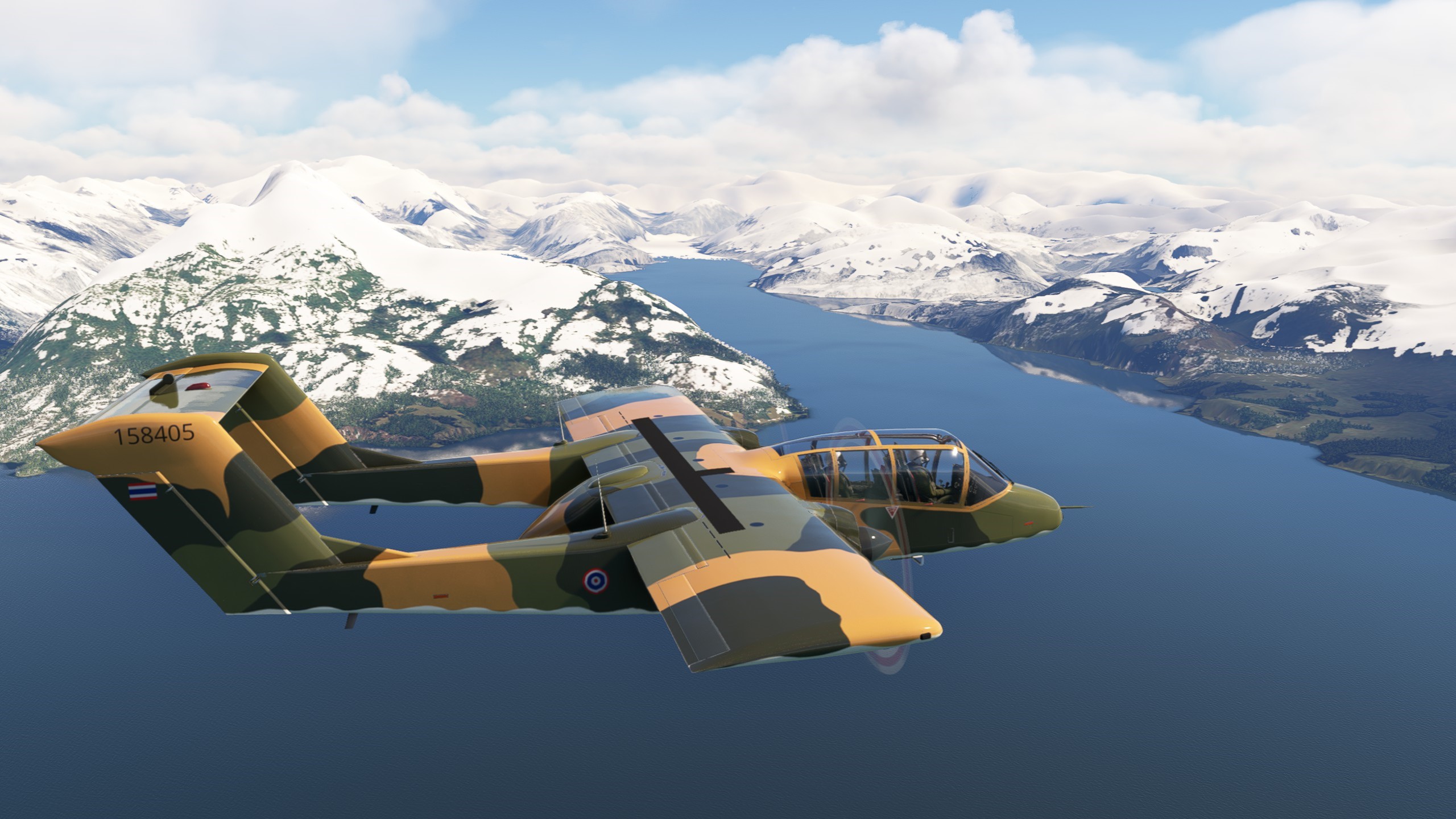
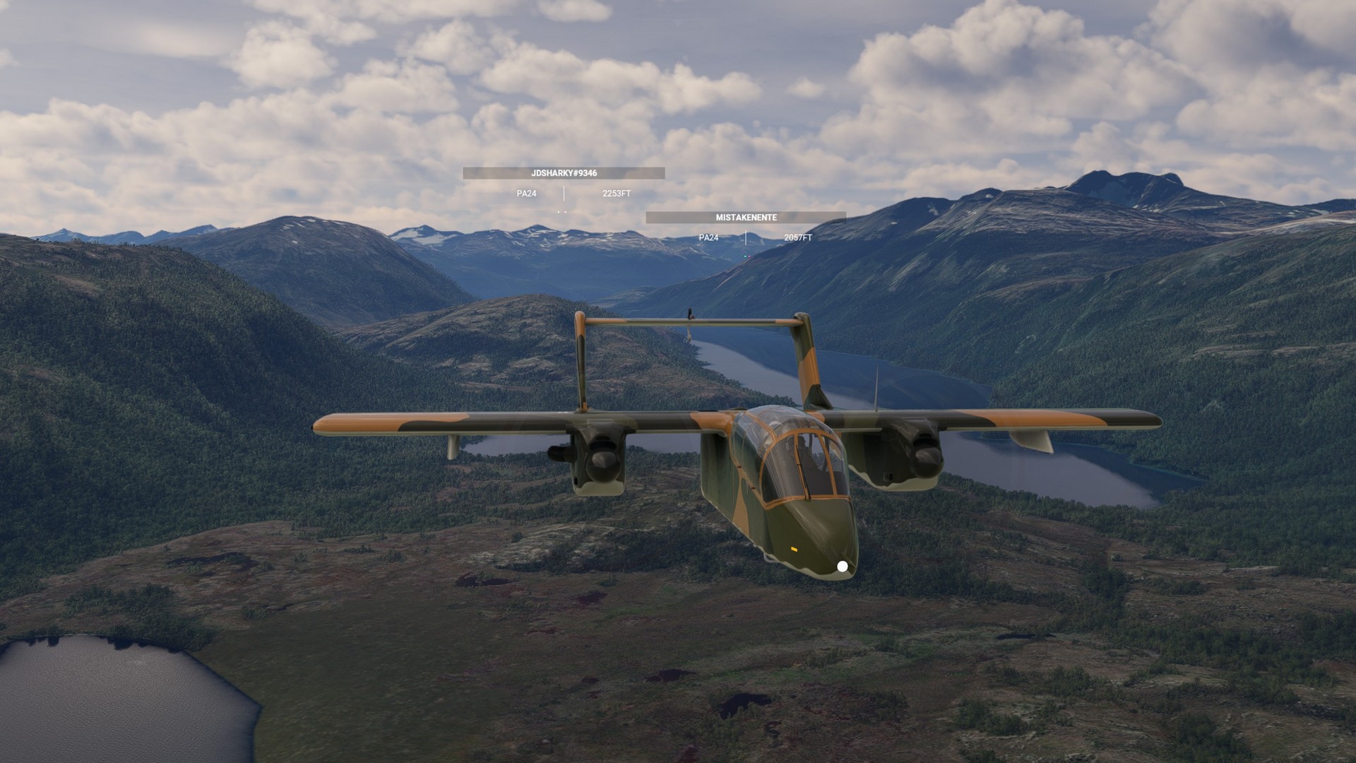
This bushtrip is one of the defaults in Microsoft Flight Simulator. The – close to 900nm long – route starts in Argentina, but most of the trip is flown over Chile. Patagonia is beautiful to look at with its lakes, mountains and glaciers. A part of this world “so far gone”.
Los Cerros – Yendegaia:
Leg 1-3
We started off from Los Cerros on a beautiful day right South of Lake Fagnano. Reaching the coast we turned east and it was already time for the first stop at Tolhuin airport. A very short hop.
After a short checkup, we took off again and followed the southern shoreline along national route 3. As we left the shore we encountered a sawmill near Lake Escondido (the hidden lake). The terrain got mountainous and we kept following route 3 into Ushuaia with its quite unique airport for the 2nd stop.
We took off again and followed the Beagle canal westwards. It is 240km long and connects the Pacific and the Atlantic Sea. Shortly before crossing into Chile the national route 3 ceased and we made a sharp turn north and started to look for our landing spot in Yendegaia national park. We could make out little more then a barren field, but it was enough to land on.


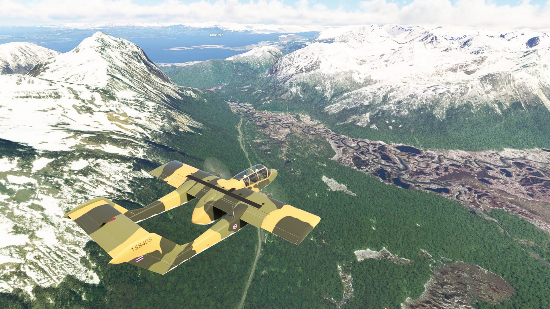
Yendegaia – Almirante Schroeders: Leg 4-5
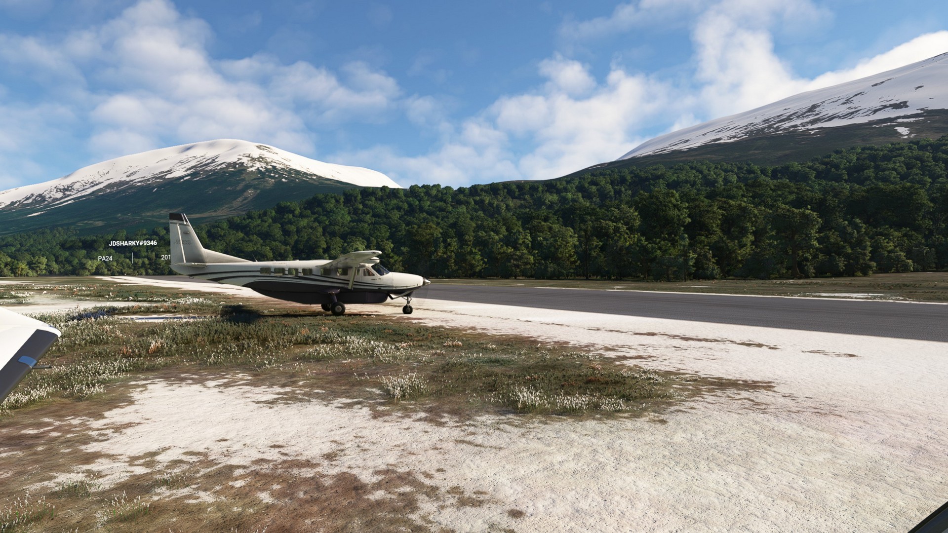
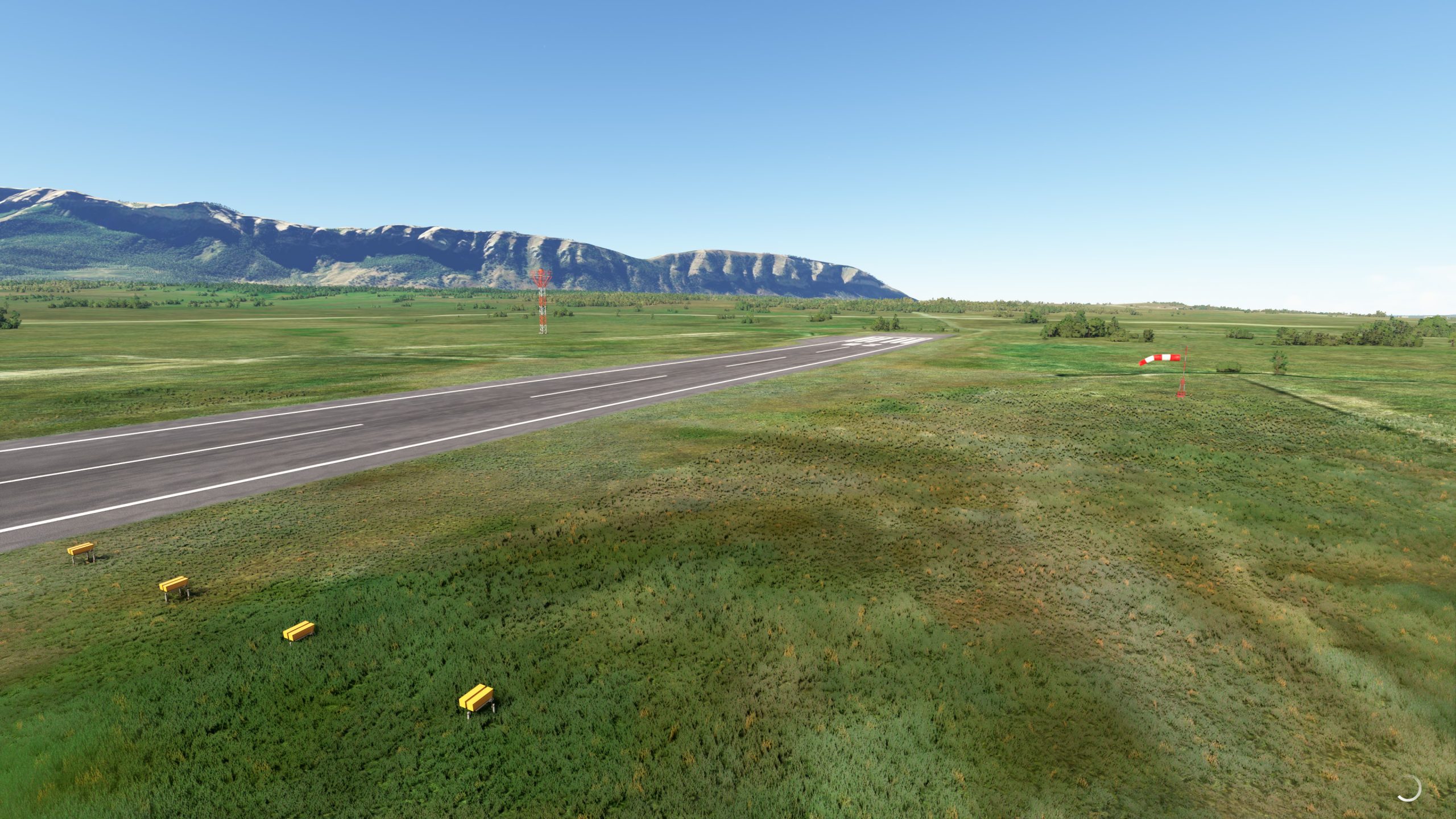
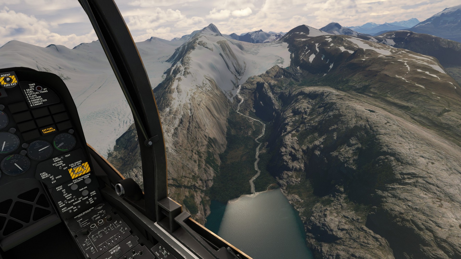
We started off from the still snow covered field in Yendegaia flying north into the mountains. After the first few miles we encountered a beautiful river flowing down the valley into Lago Roca. We jumped over a couple of mountains and reached Lago Cami in Chile (which is Lago Fagnano in Argentina, see Leg 1). After following the coastline for a few short miles we started searching for our first stop already, Azopardo airport. Microsoft Flight Simulator did not show any strip, so we just made for the most likely hole in the trees.
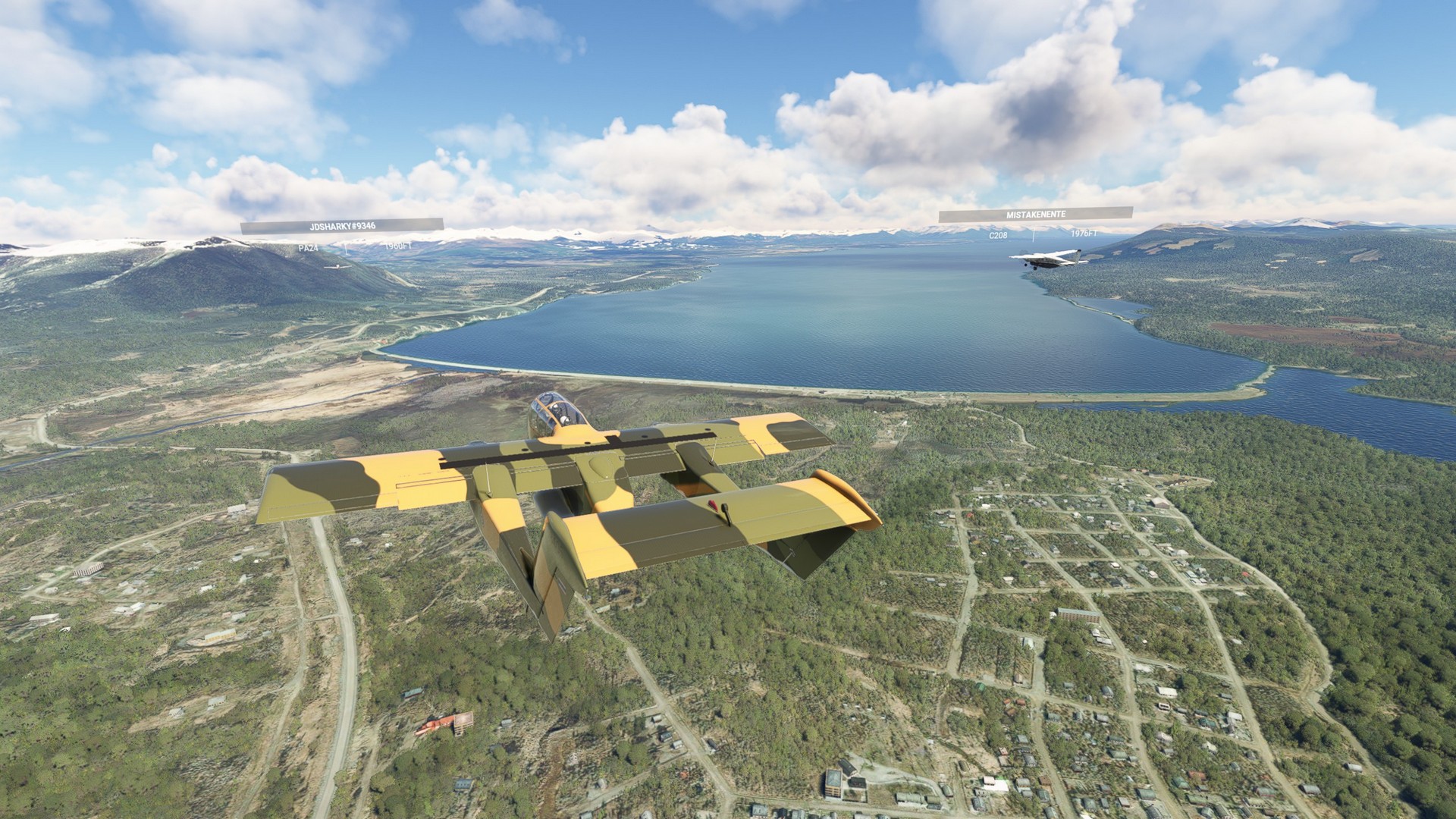
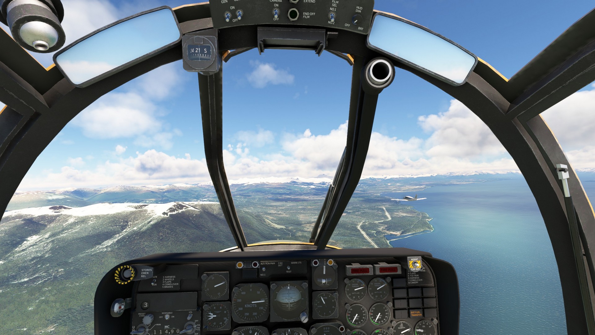
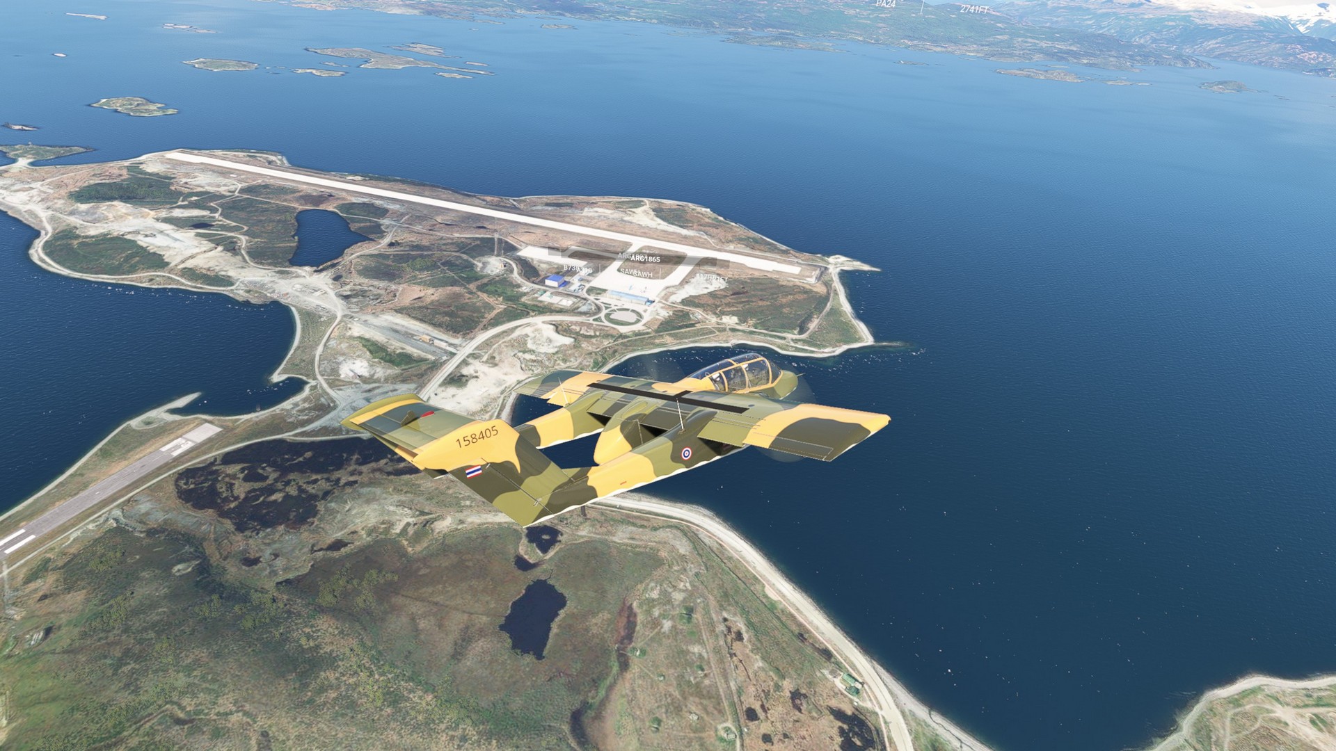
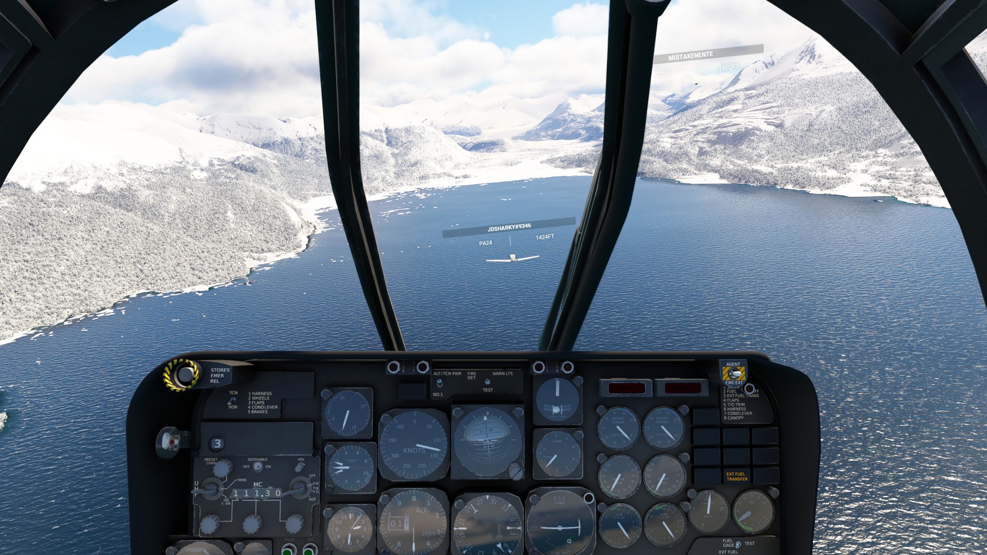
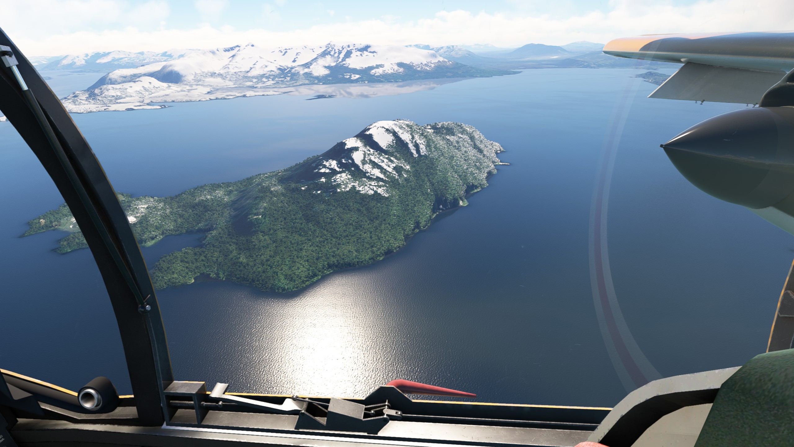
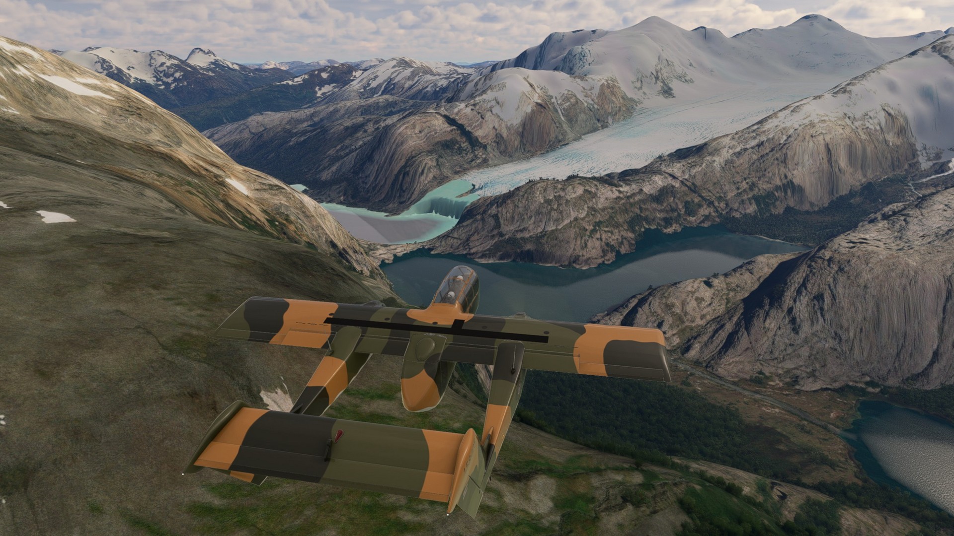
As we took to the air again, we could see glaciers coming down into the sea from Mount Darwin (2.438m). We turned north still following the coast and encountered bad weather right over Wickham island. When the clouds subsided, we could still see Mount Darwin towering behind us. In front of us the lake opened into the Bahia Inutil bay (“useless bay”, as it does not give any protection from the westerly winds). Right opposite the bay lay our final stop for today, Almirante Schroeders, a military airport right in the middle of the Straight of Magellan.
Almirante Schroeders – Teniente Julio Gallardo:
Leg 6-7
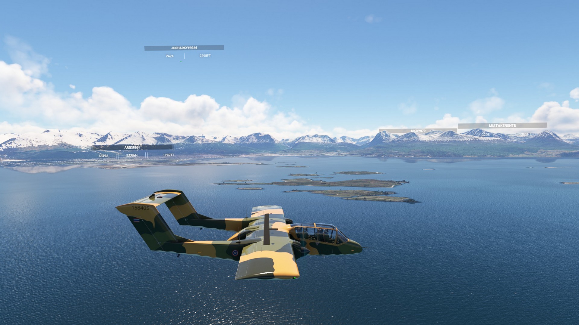
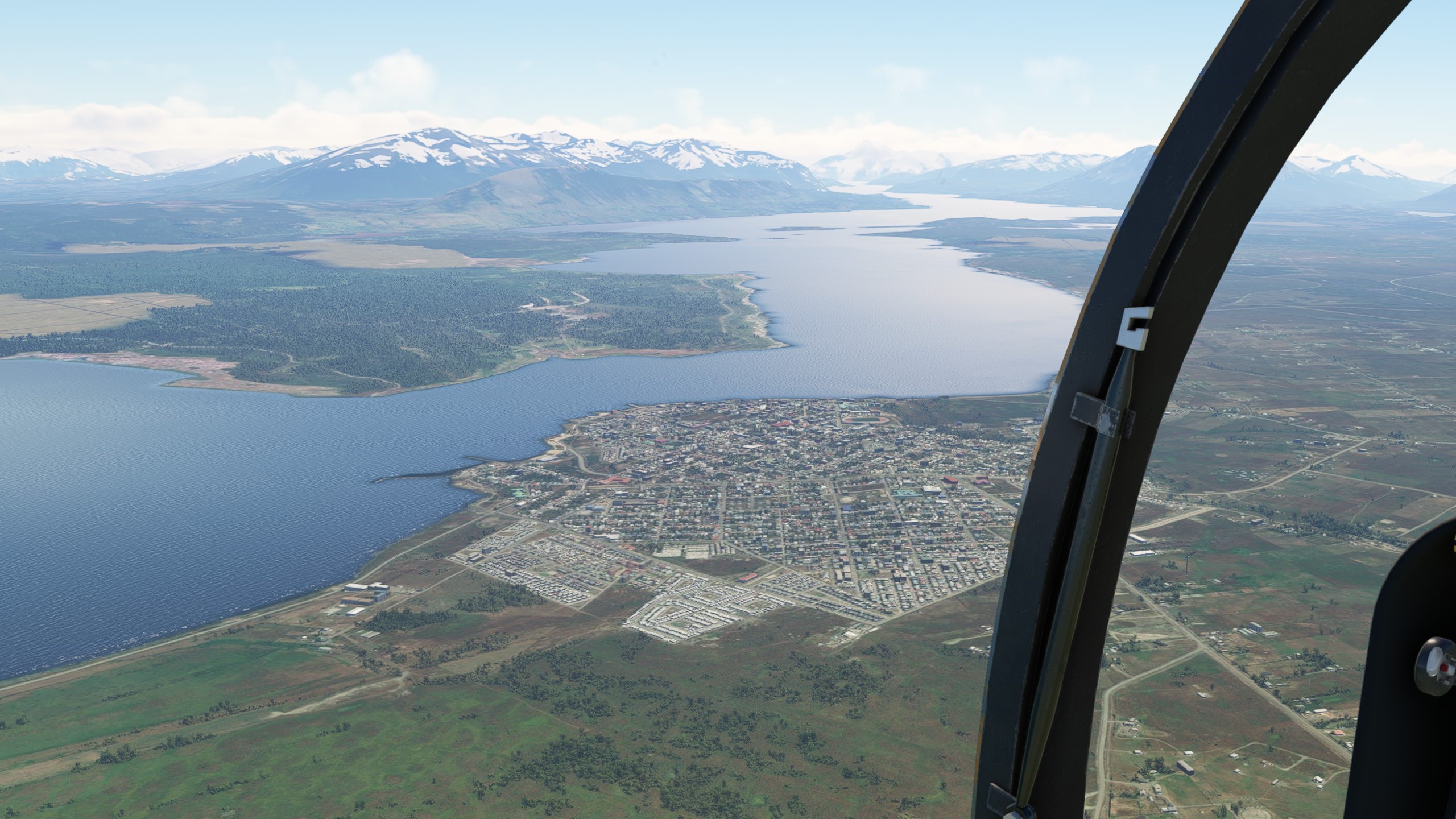
We took off from Dawson Island and admired the beautiful coast before crossing over the Straight of Magellan, overflying Fuerte Bulnes, a 19th century fortress. We continued north along the coast, encountering small villages and rivers. The land gave way to the capital of the Magallanes Region, Punta Arenas. We left the airport and the Cabo Negro racetrack behind and continued on to the airport on Isabel island, still in the Strait of Magellan.
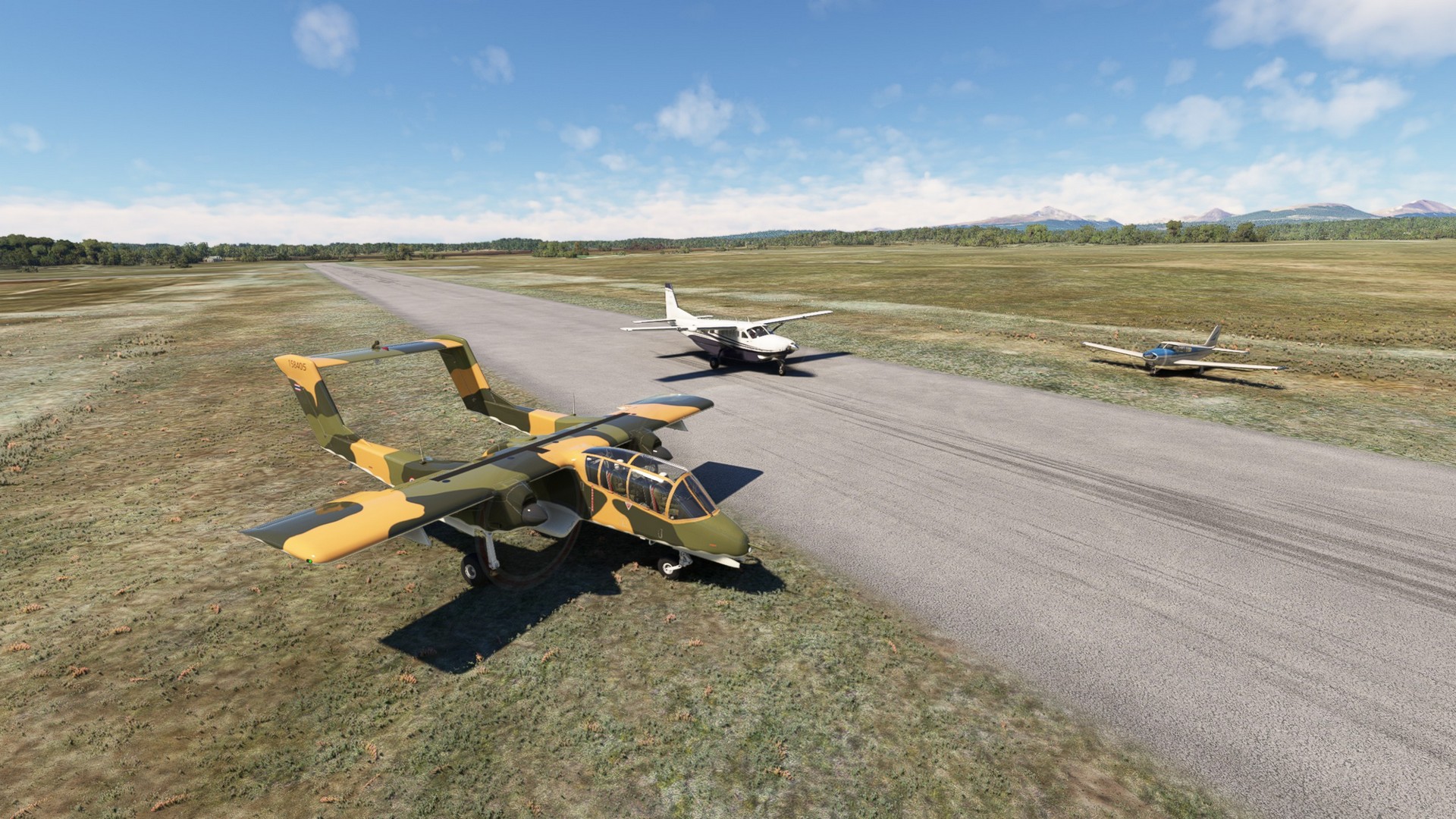
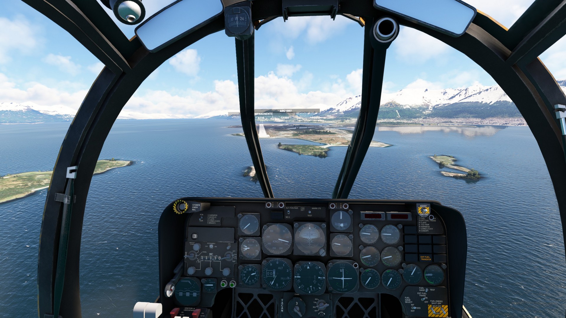
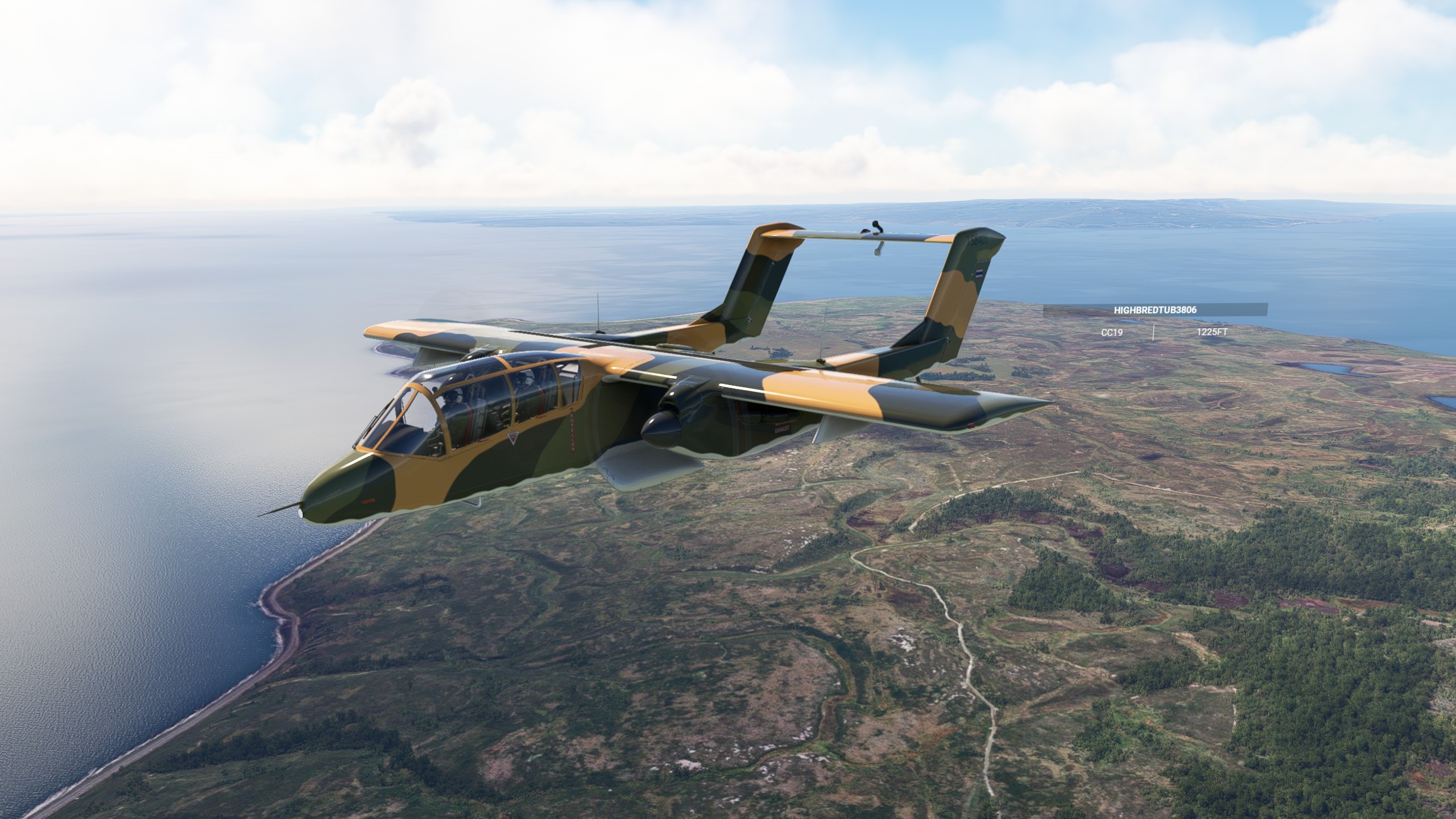
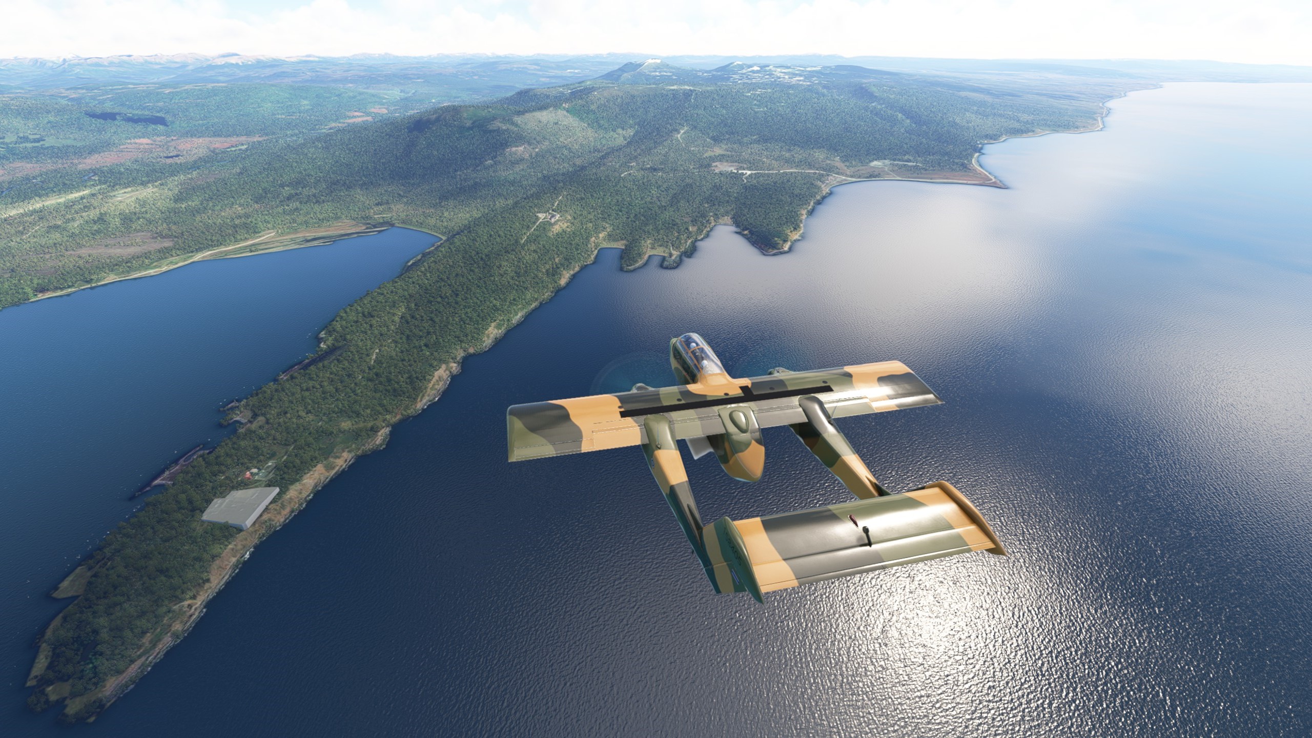
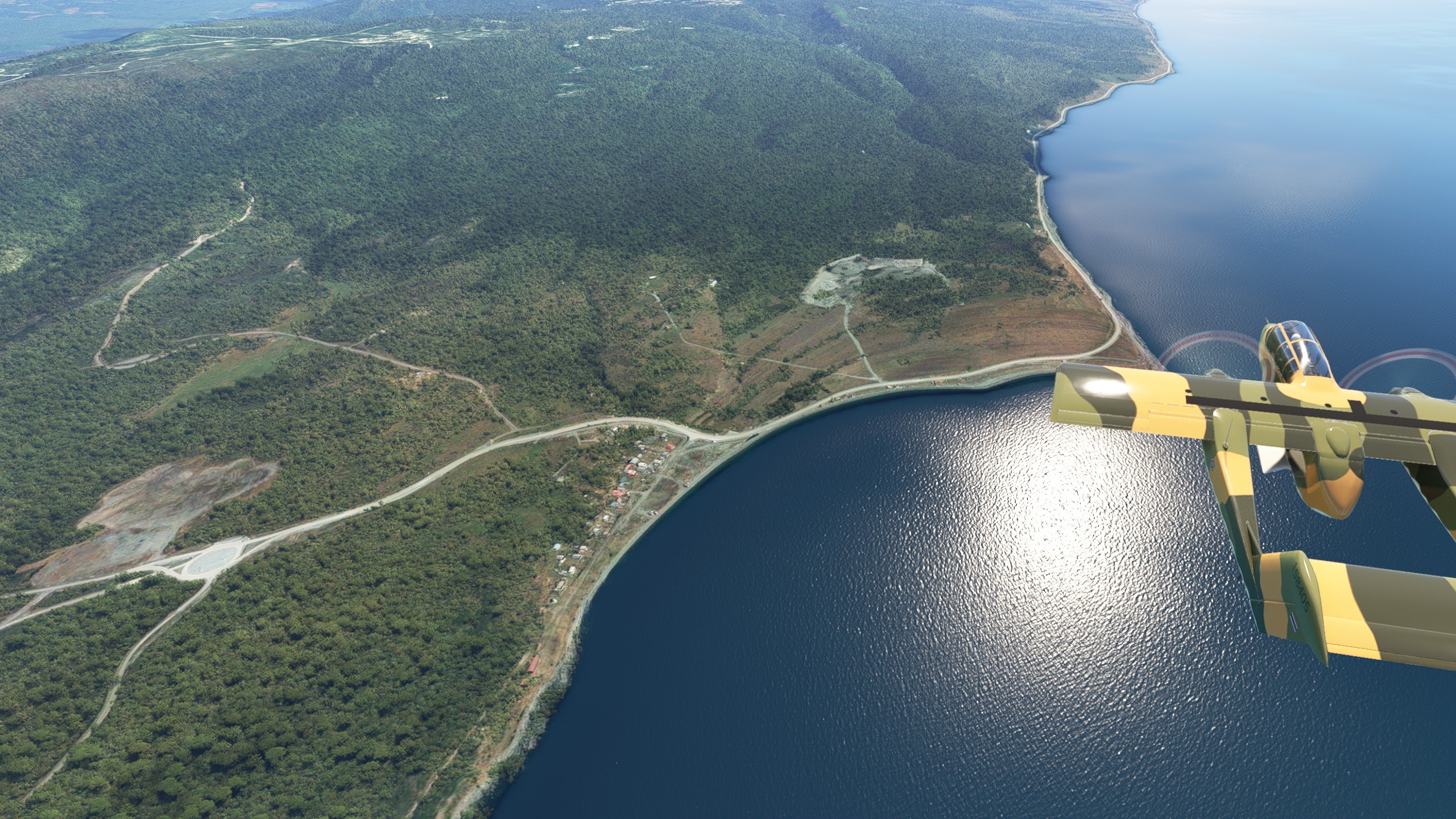
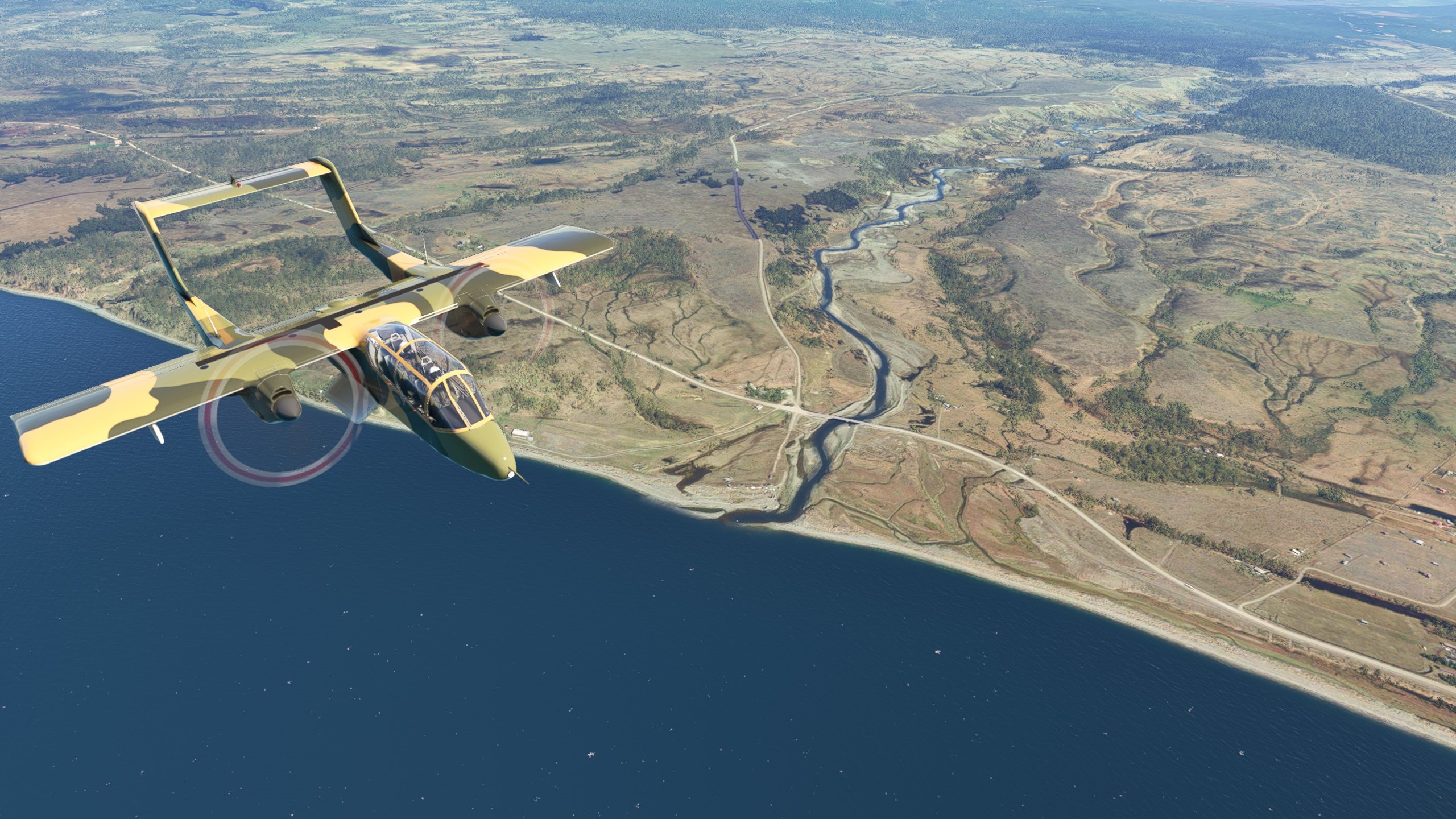
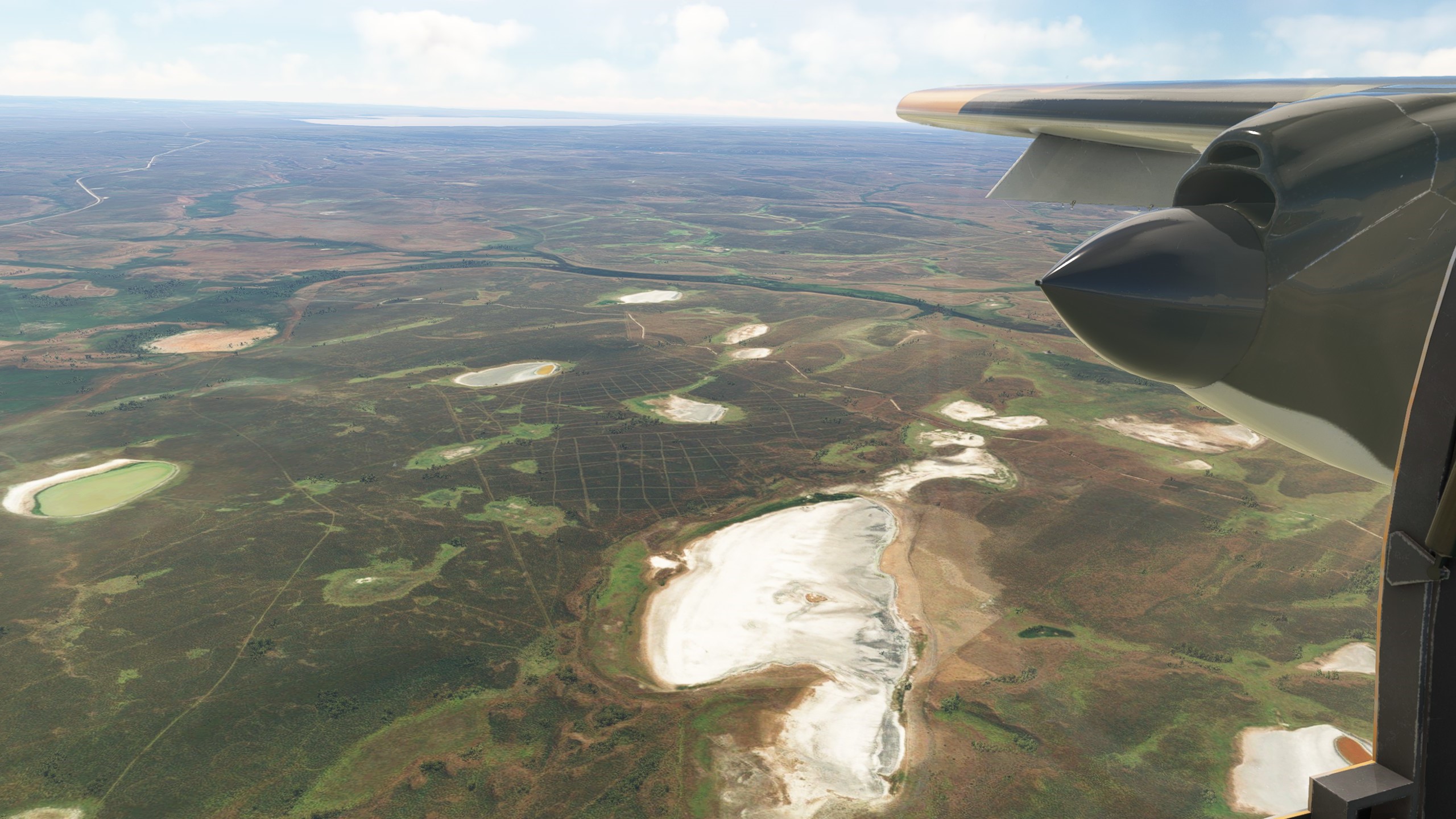
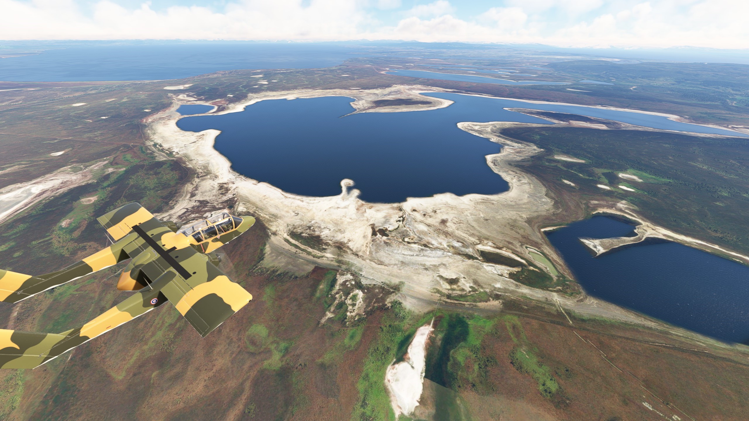
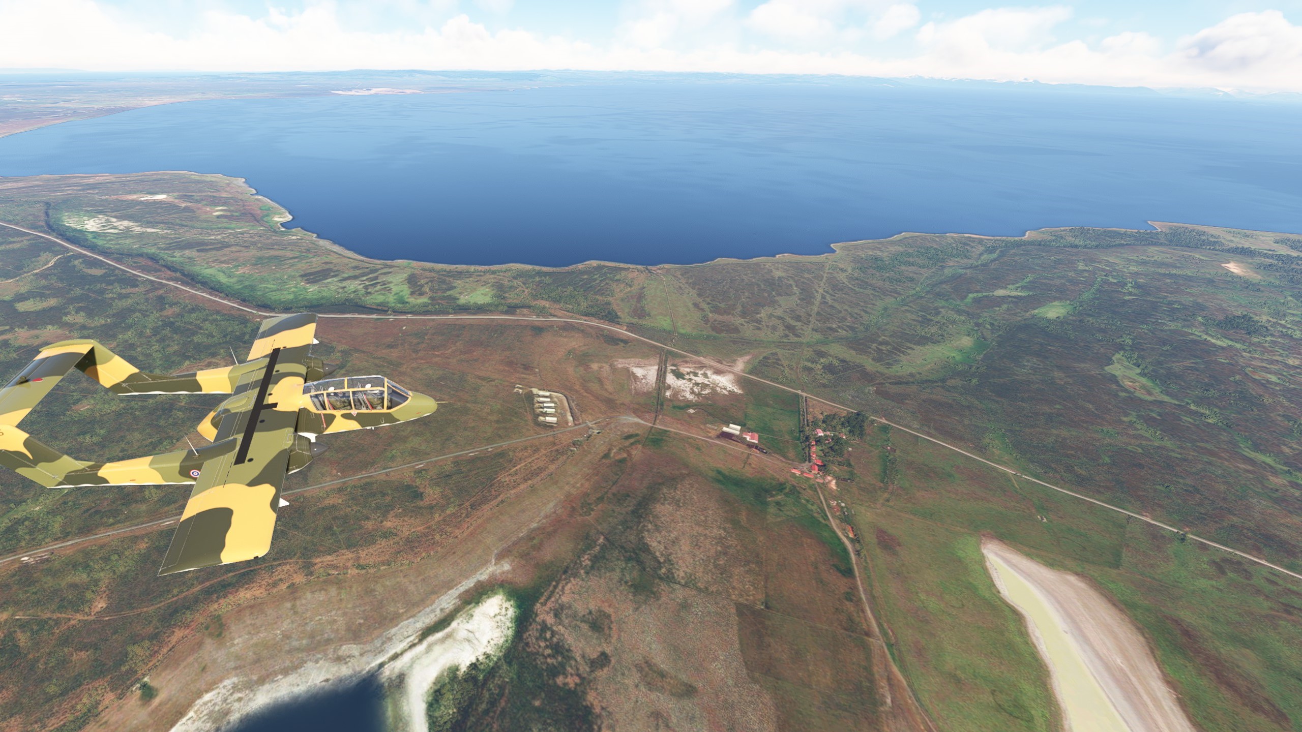
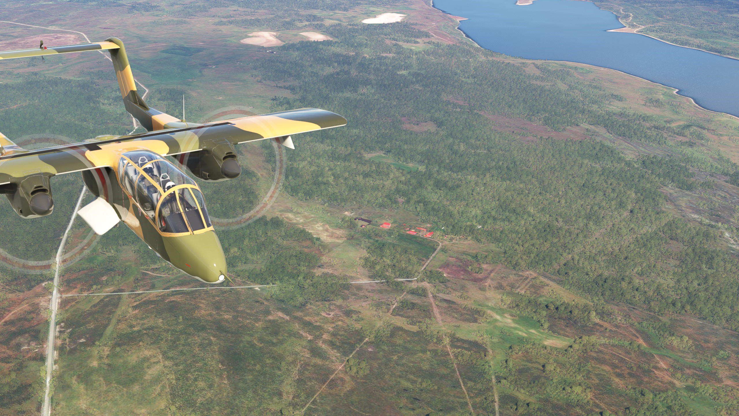
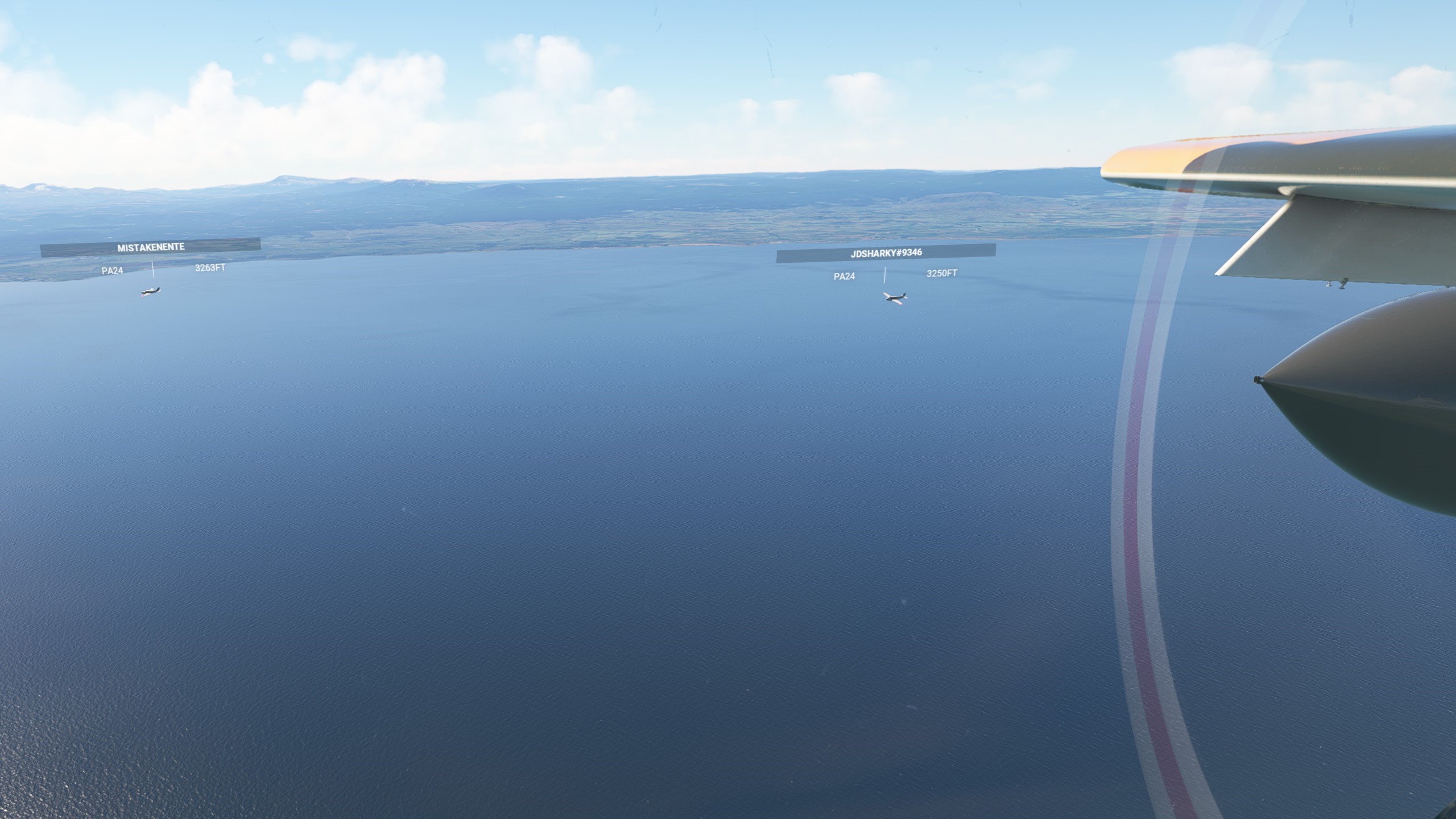
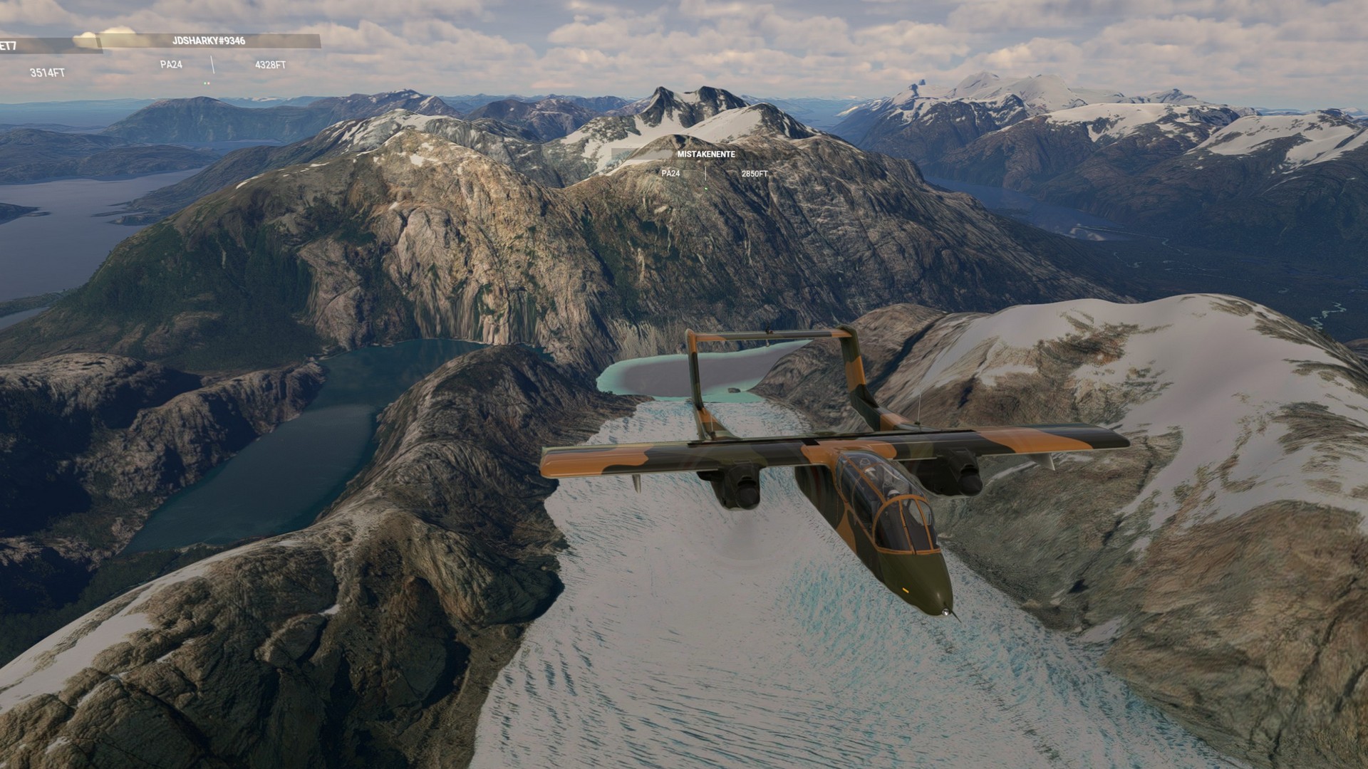
Now the ride got bumpy pretty much for the rest of this leg, which was a long one. My Bronco was way better suited for this then Chergo’s or Jörg’s Comanche, but I still had a strong drift going on all the time. We left the Strait of Magellan behind and flew by Puerto Zenteno and many lagoons after that. The small ones had dried up, Laguna Del Toro had held most of its water though. San Eduardo seemed to be the only village in this region. La Reina a few miles north was not even that, just a ranch in this otherwise deserted part of the world. The next “lake” we encountered was in truth a bay in the Pacific sea with Latorre Island in the middle of it. Again we saw glaciers running down all the way to the sea, this time coming from the ice field of Gran Campe Nevado. We detoured here a bit to the east to stay over the water of the Golf of Almirante Montt until we returned to the route near the city of Puerto Natales. The airport was surprisingly near to the city and we had to loose our altitude quick to land there fighting a considerable crosswind.
Teniente Julio Gallardo El Calafate: Leg 8
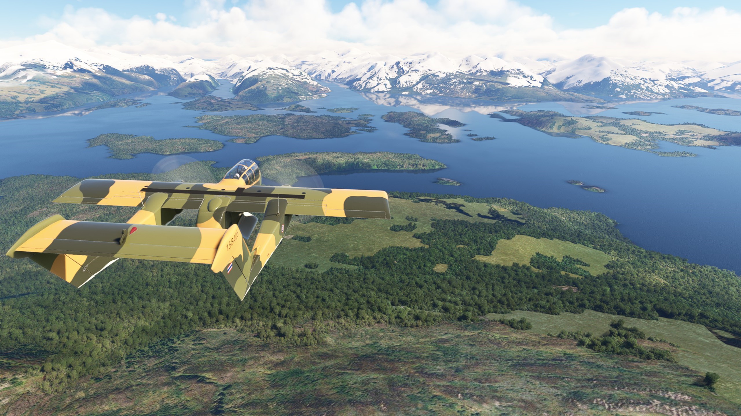
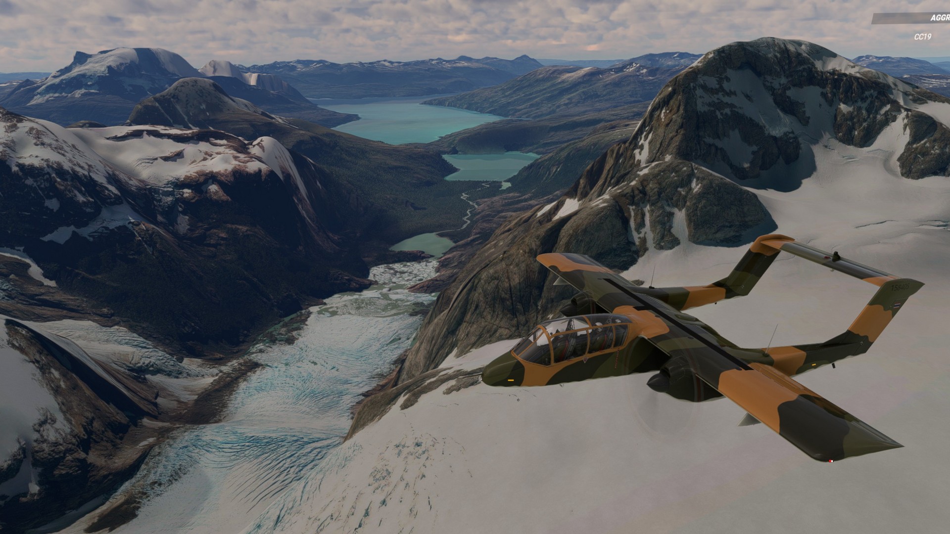
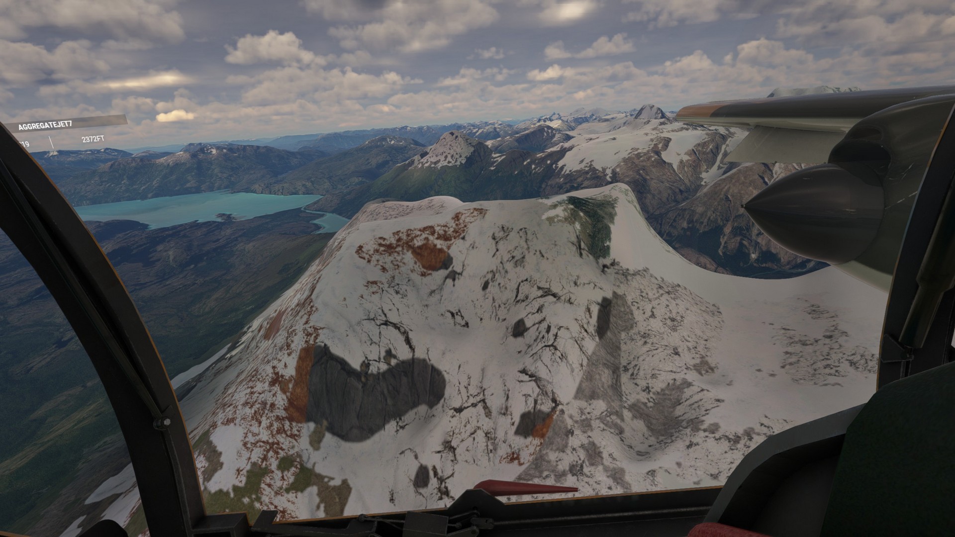
As we started this flight we were greeted by some of the most spectacular views we had encountered so far. We all had the feeling that this was the part the bushtrip was designed for.
The weather was slightly overcast, but still good enough for flying and taking in the landscape. We overflew so many glaciers flowing into the lakes that I lost count. If you want to go skiing with a Piper Cub, I would highly recommend this place.
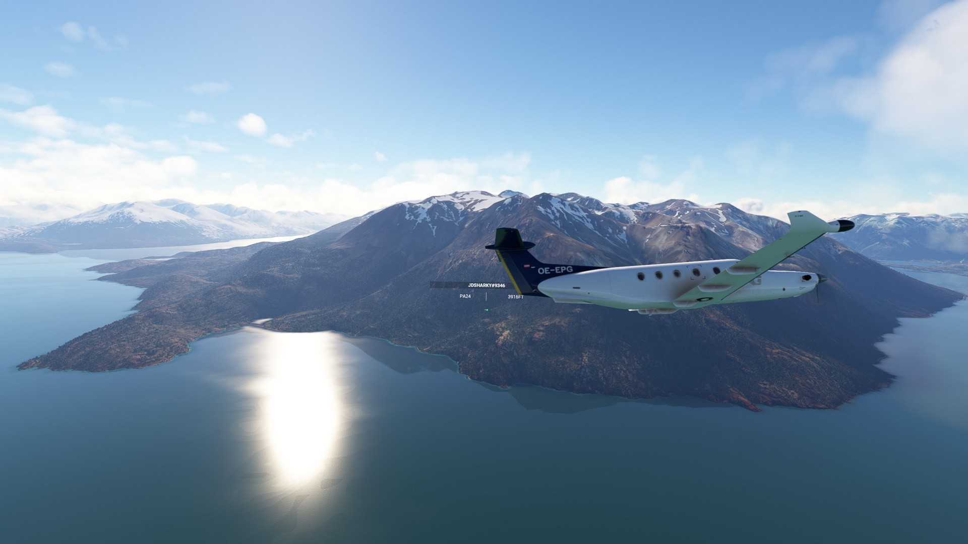
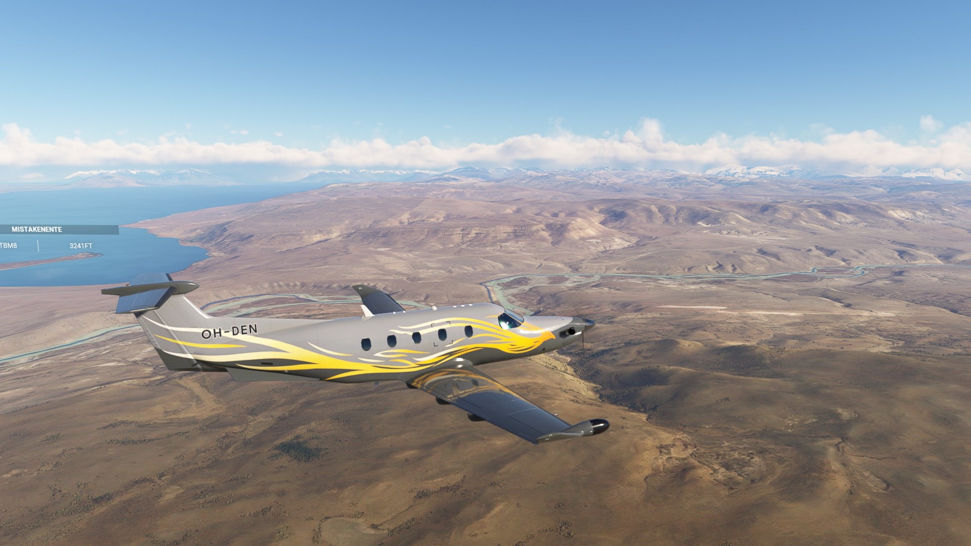
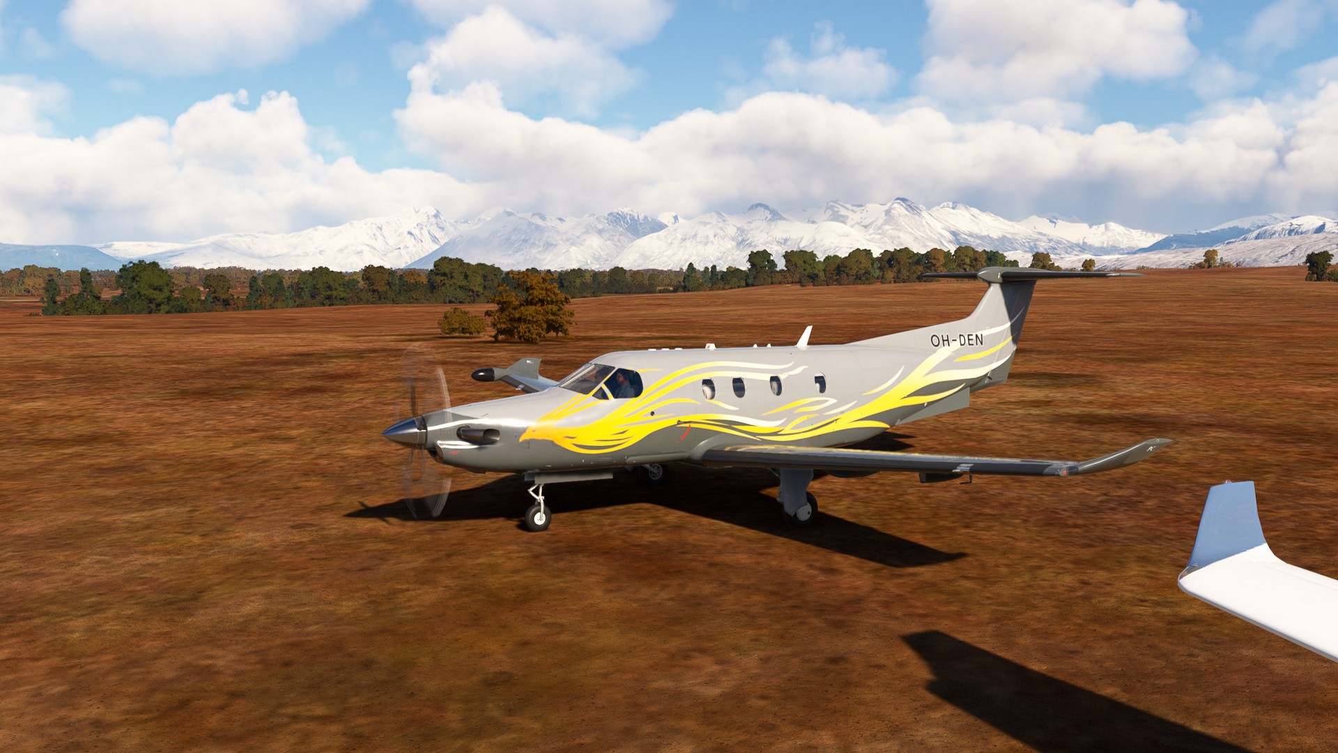
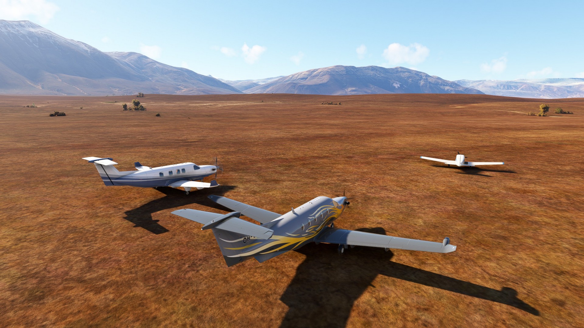
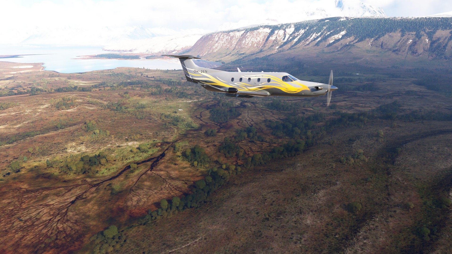
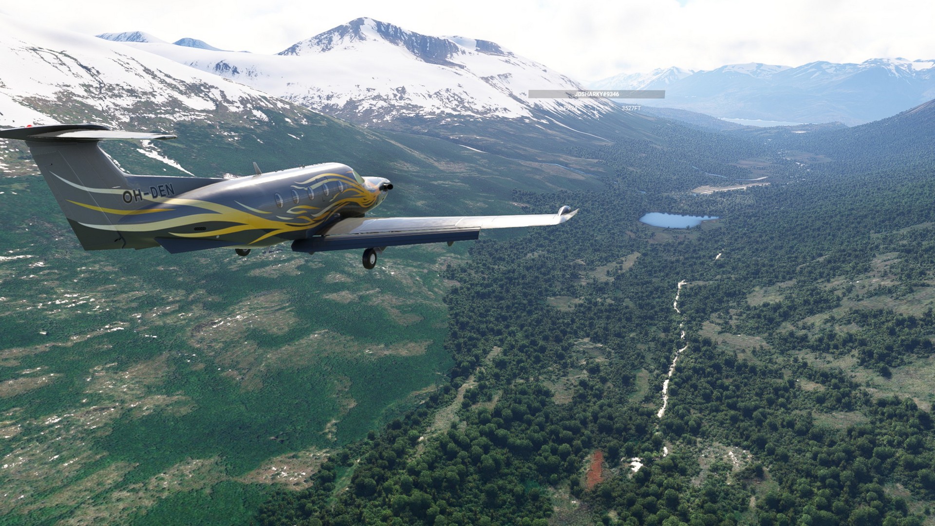
El Calafate Laguna Redonda: Leg 9 & 10
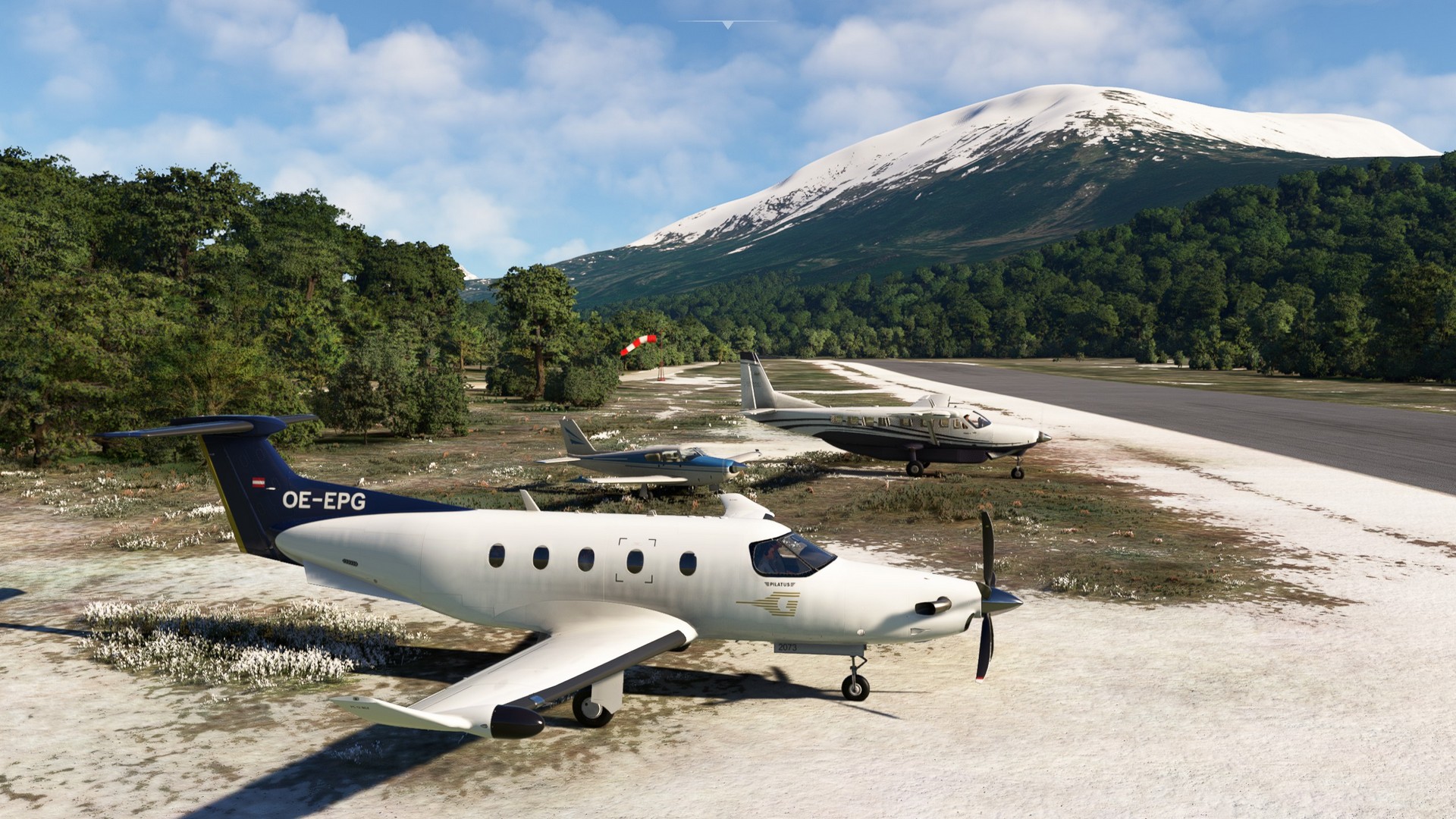
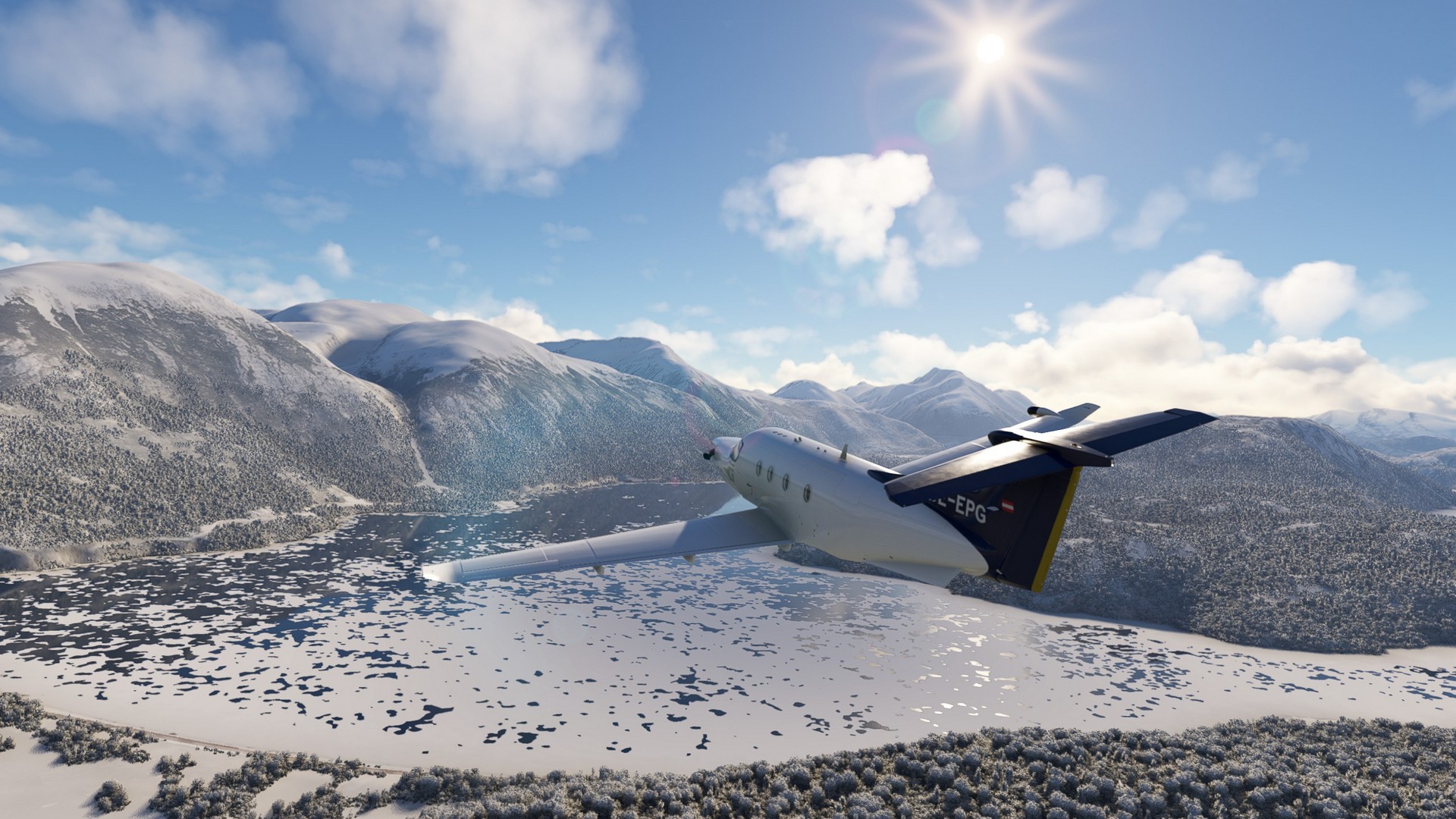
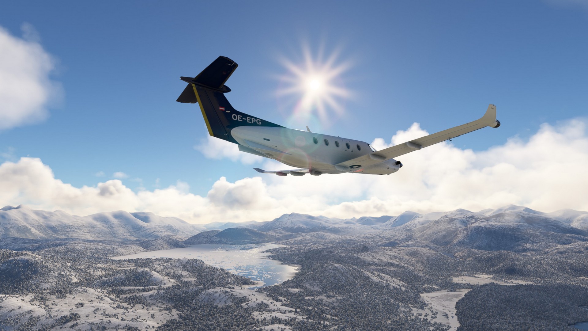
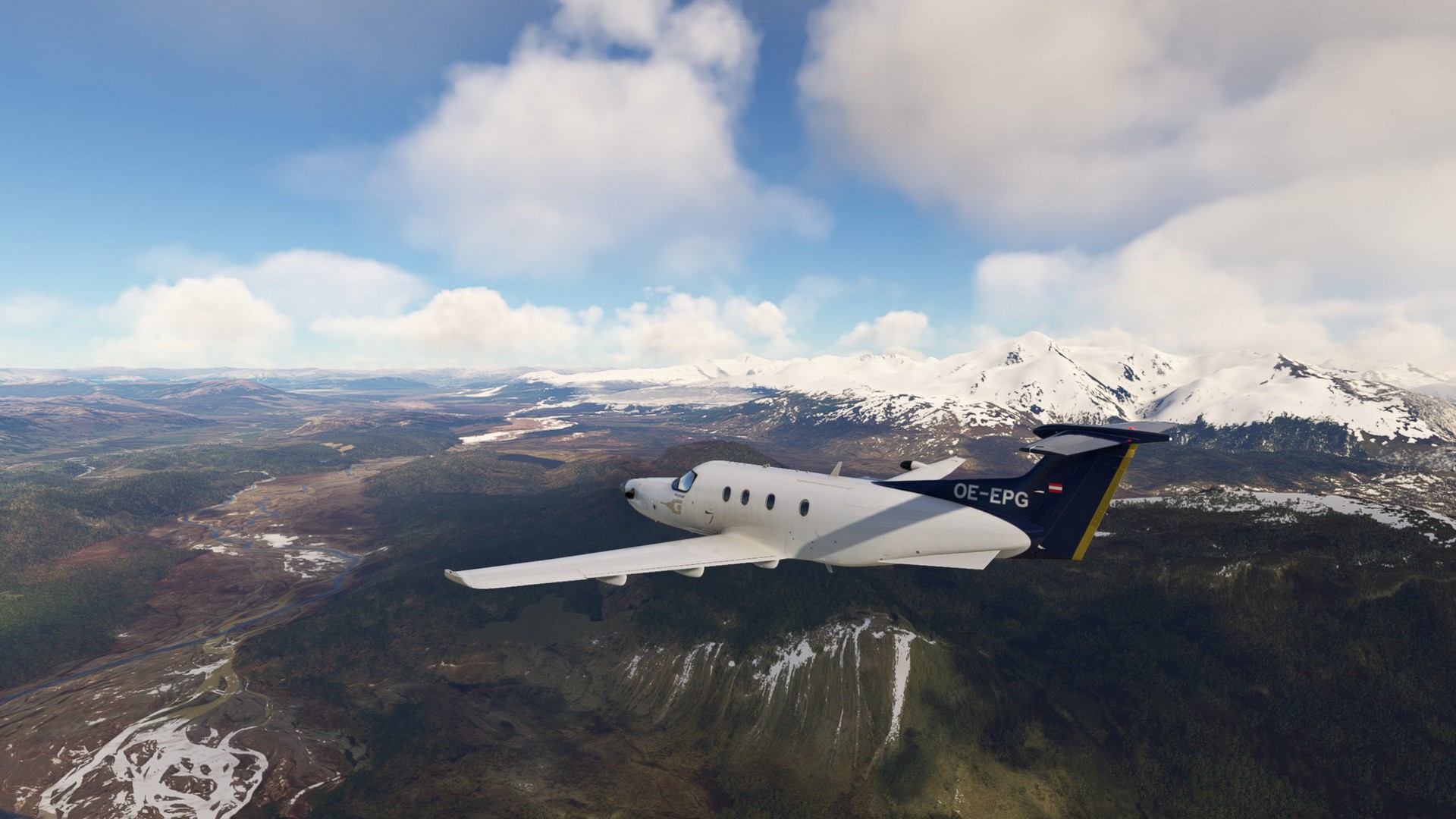
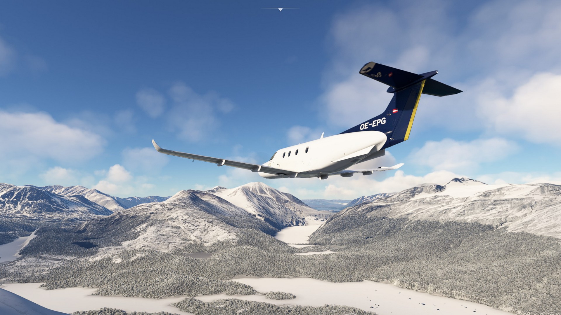
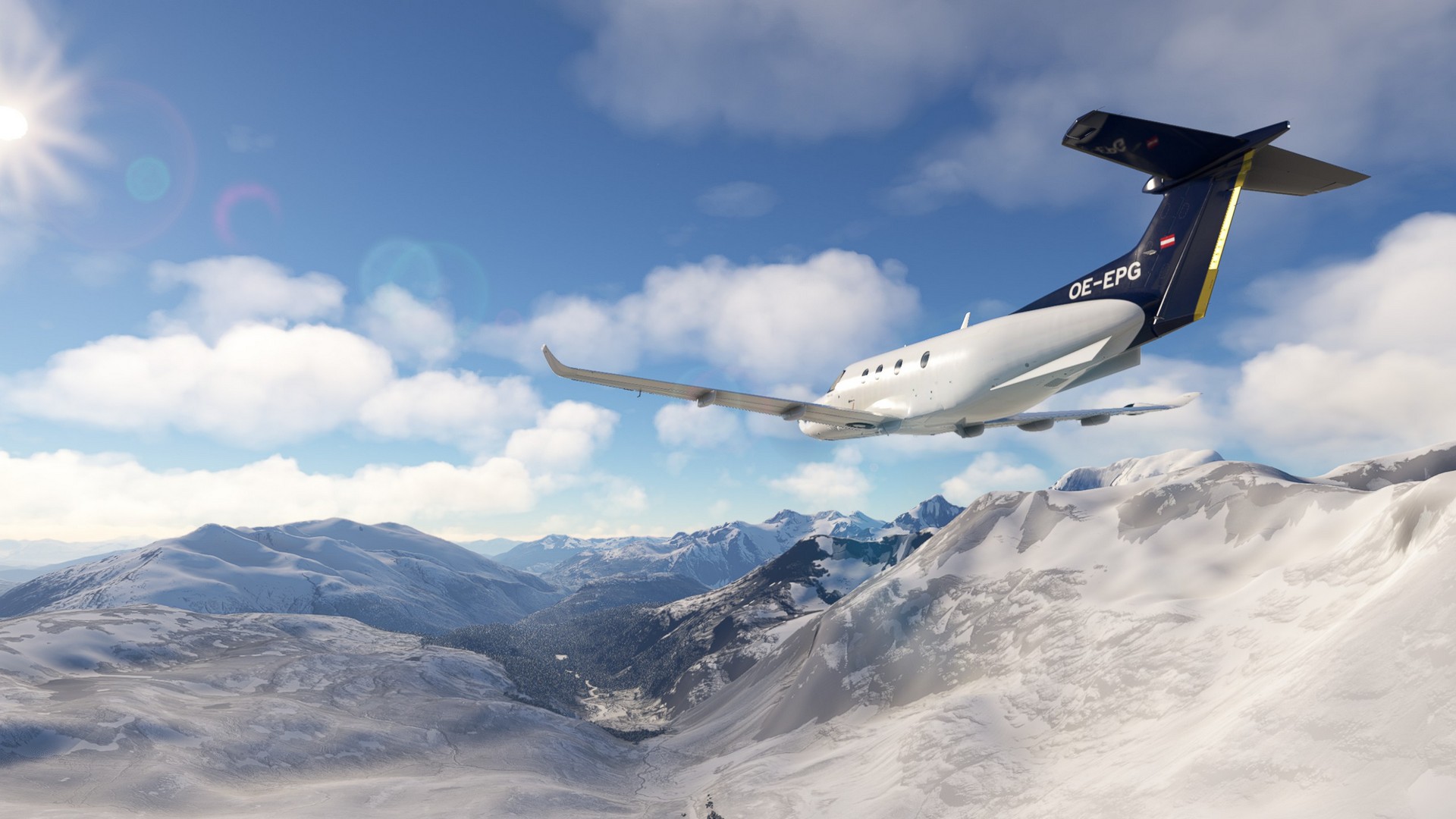
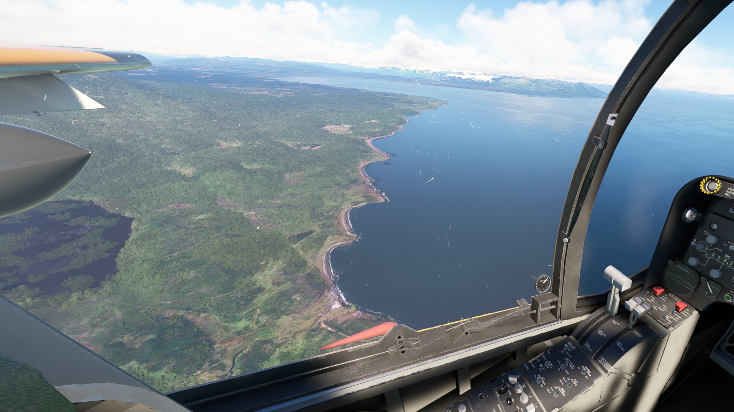
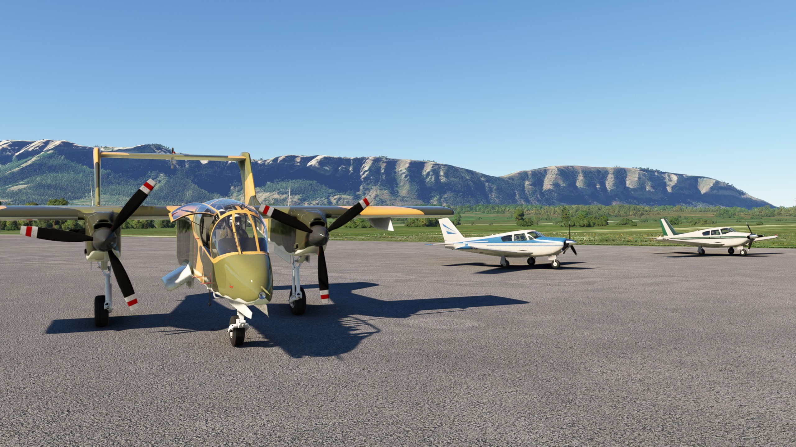
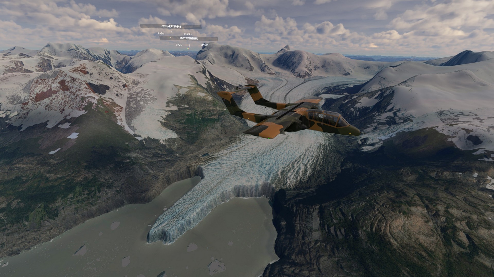
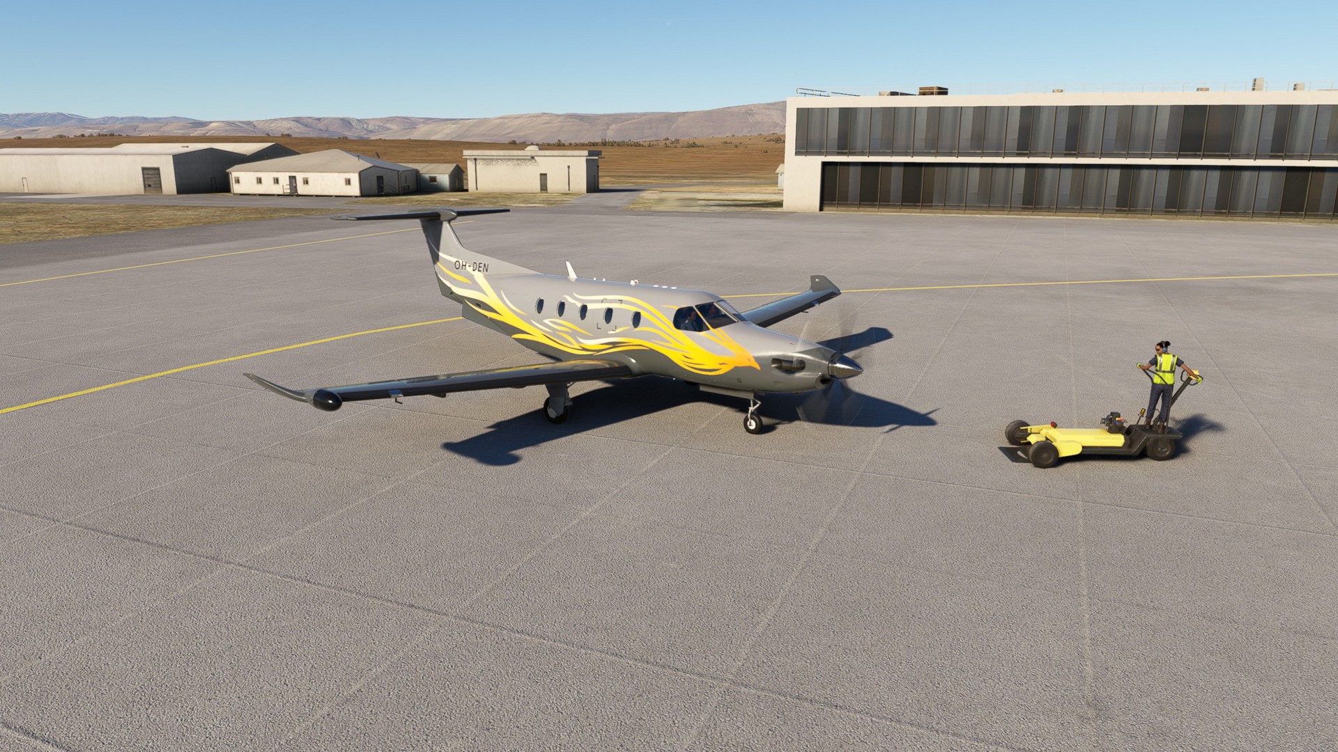
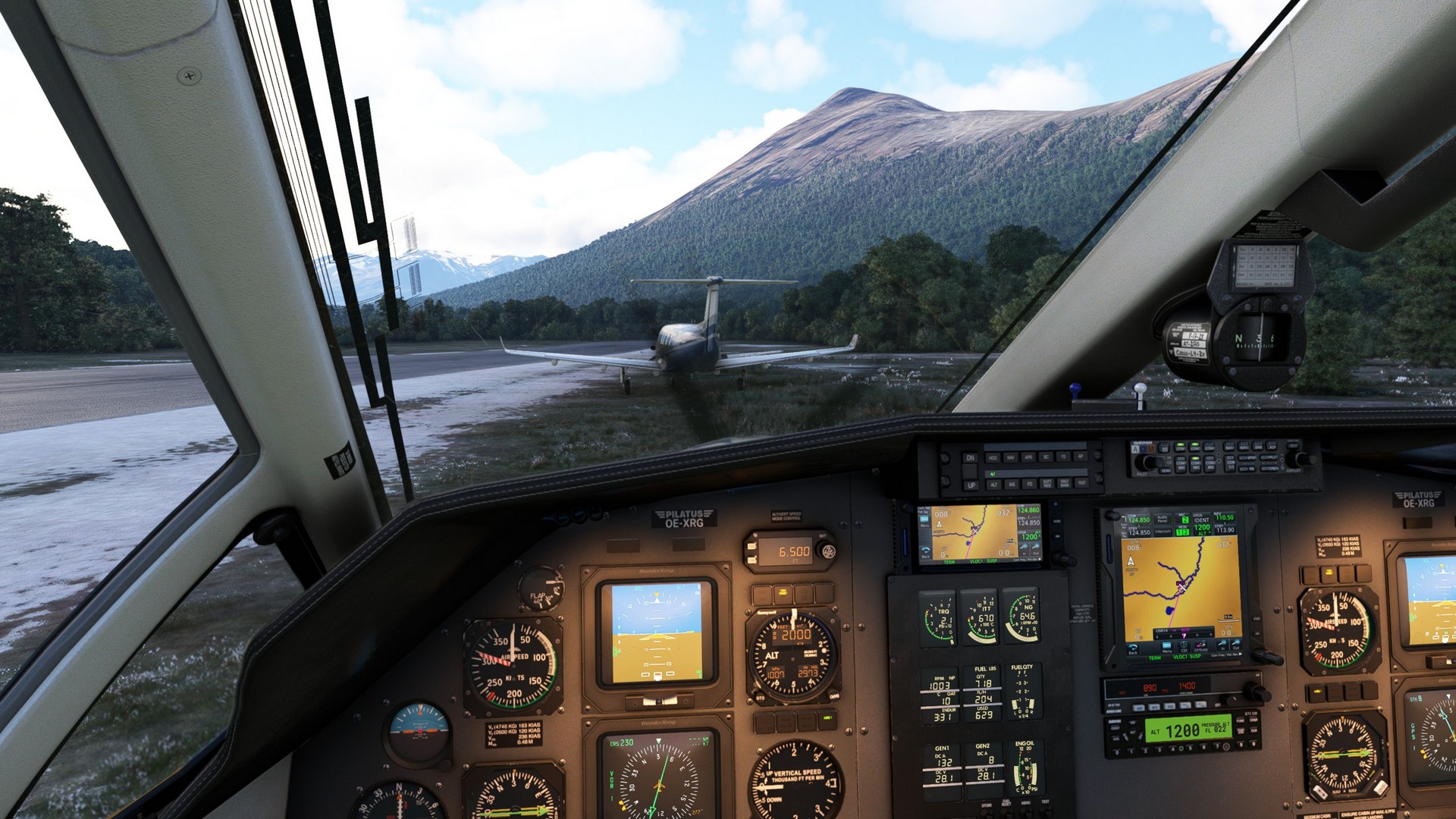
New Plane! I finally had to choose between the Bronco and the Pilatus, a choice I had to postpone for much too long. The Pilatus won, since I have so fond memories and it seems to be another challenge to fly with a few quirks simulated (e.g. the linked aileron-rudder), that are new to MSFS.
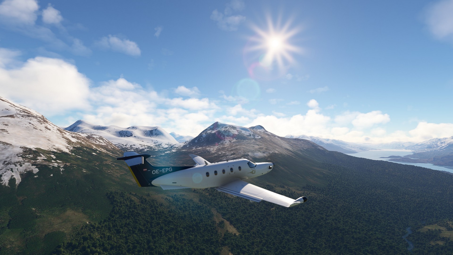
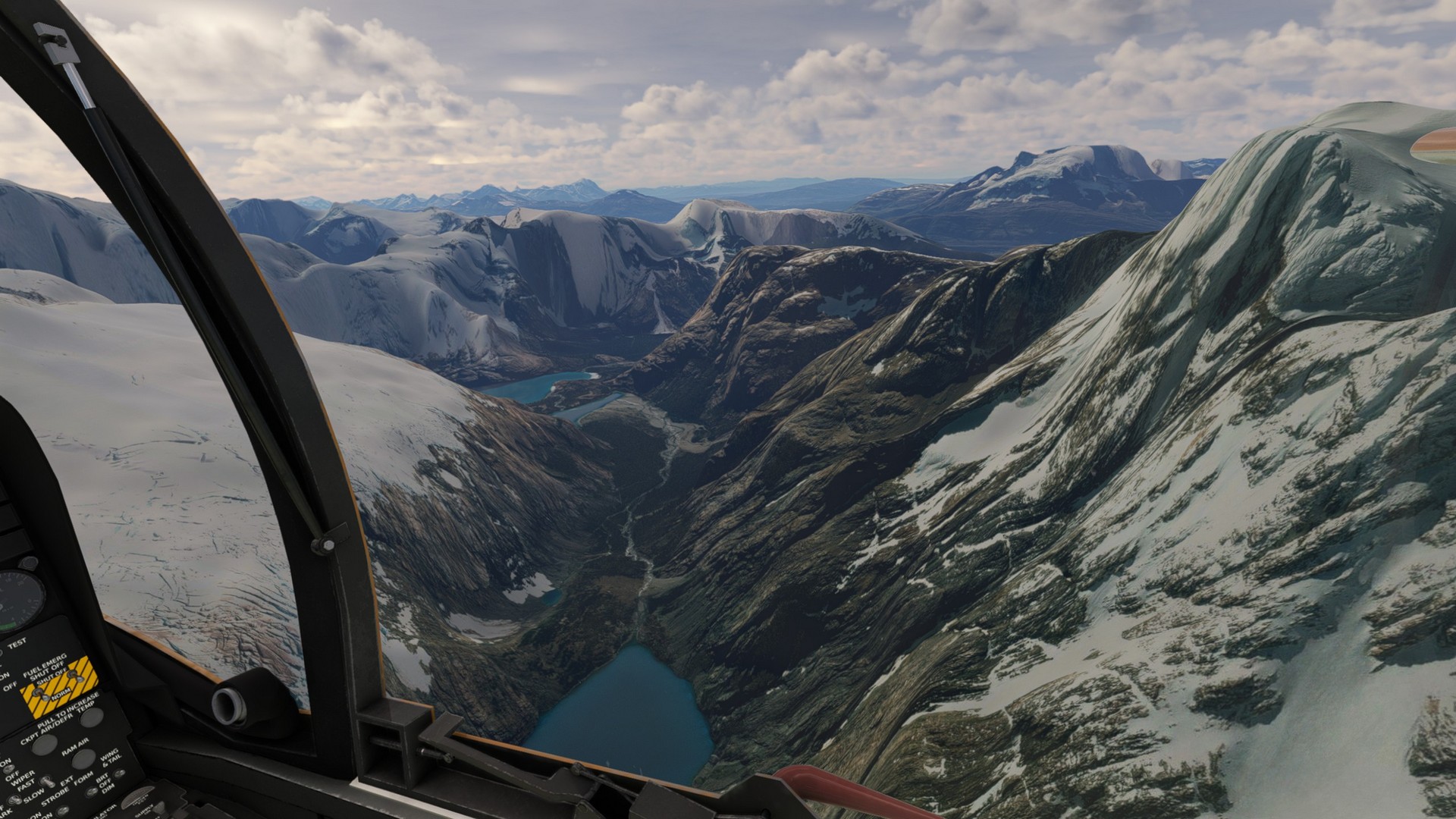
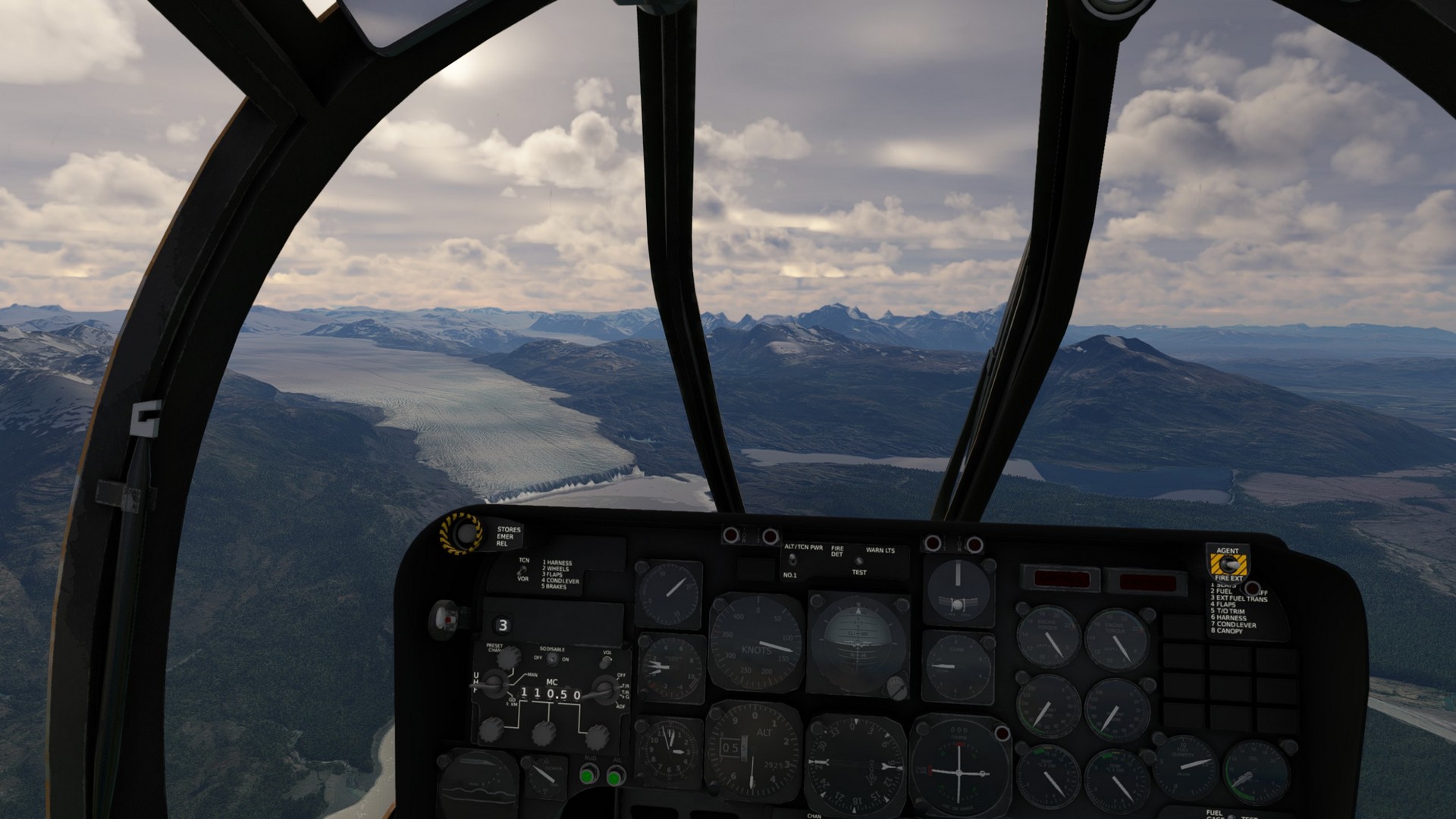
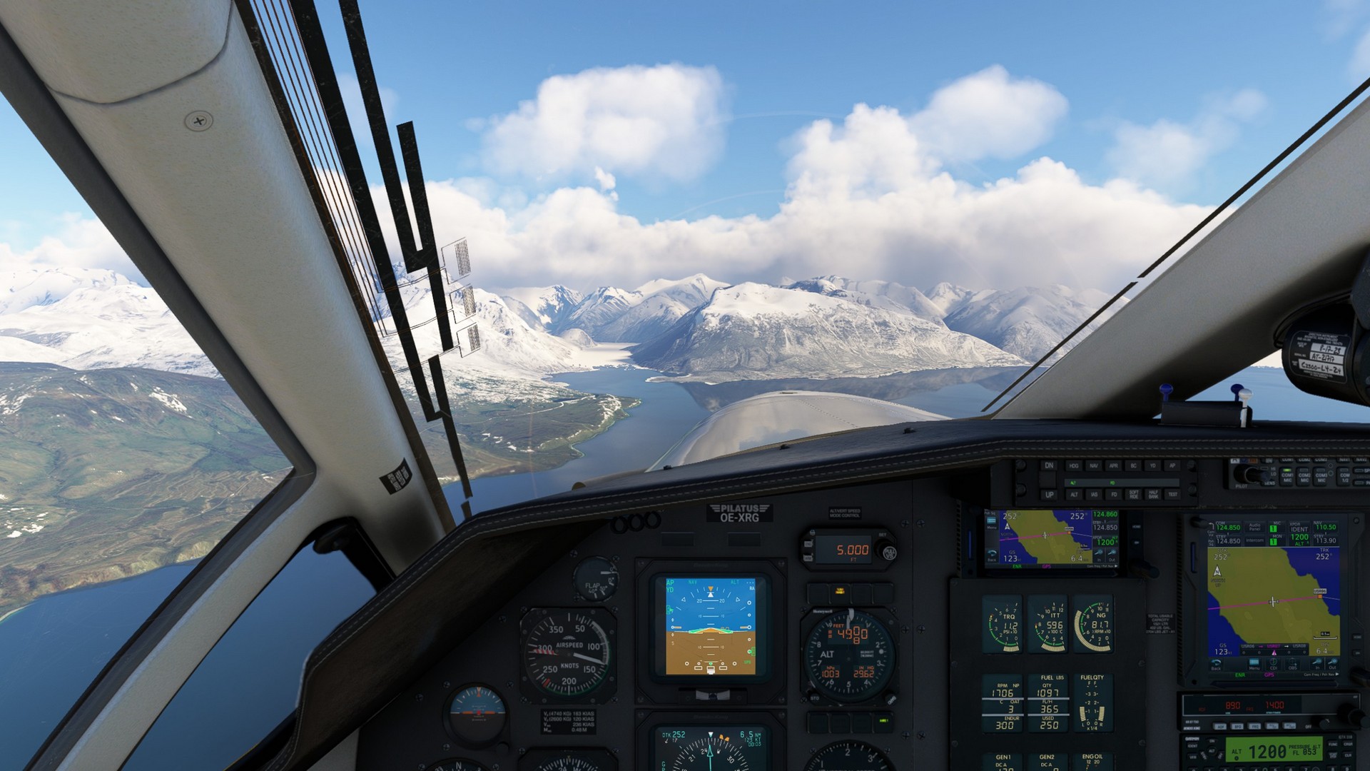
During the flight I was into the handbook and instruments often and for once followed Chergo and Jörg on this leg. The scenery changed from barren desert to glaciers and icy mountains in a heartbeat more then once, we had the feeling this might be the most beautiful part of the trip.
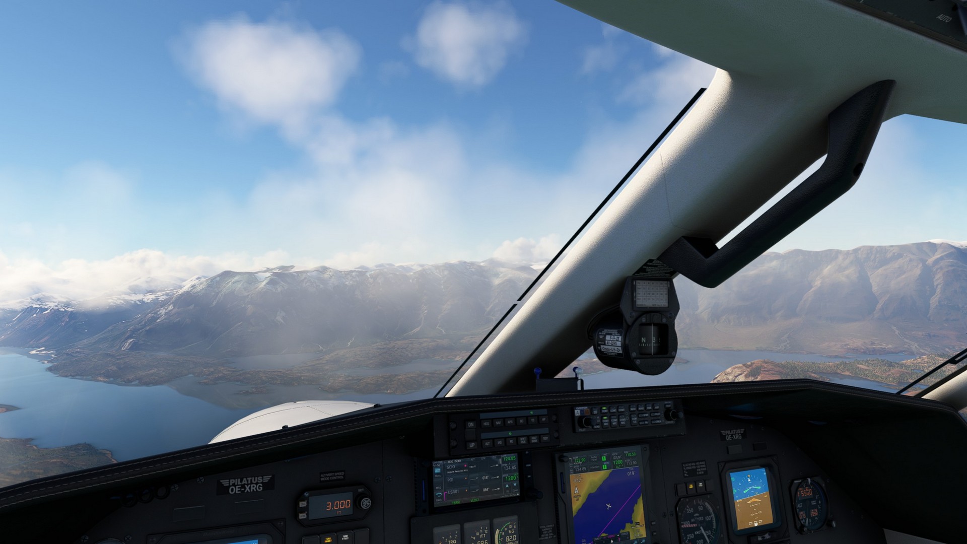
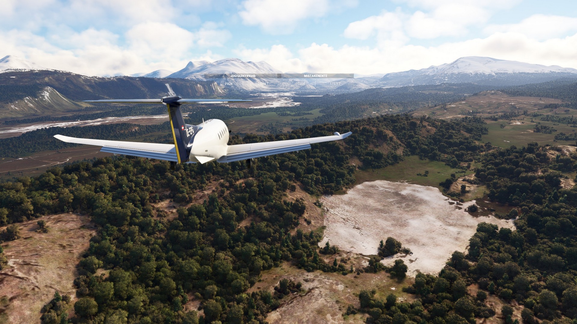
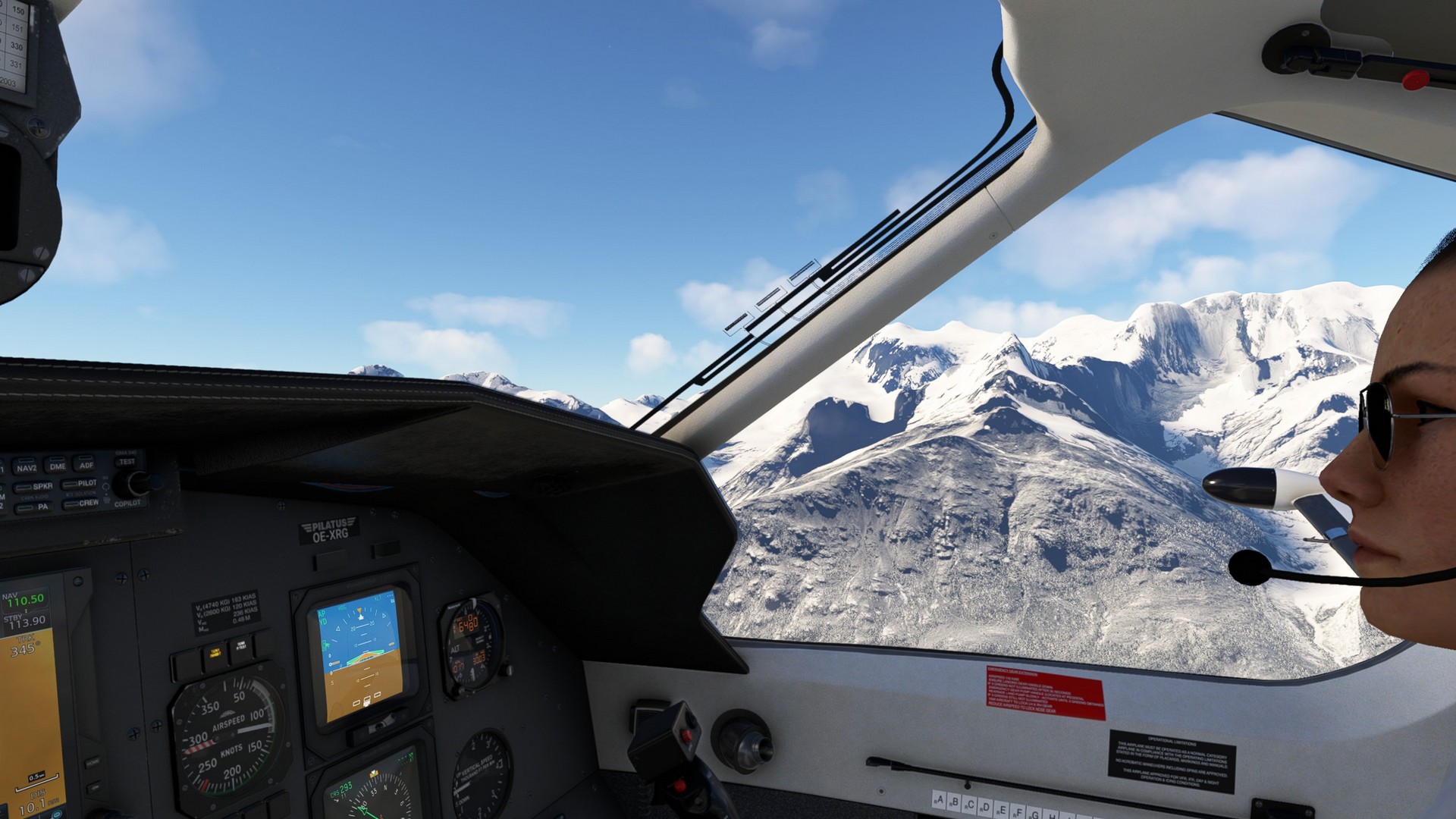
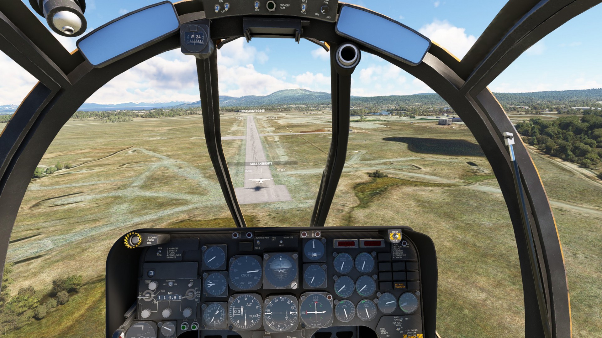
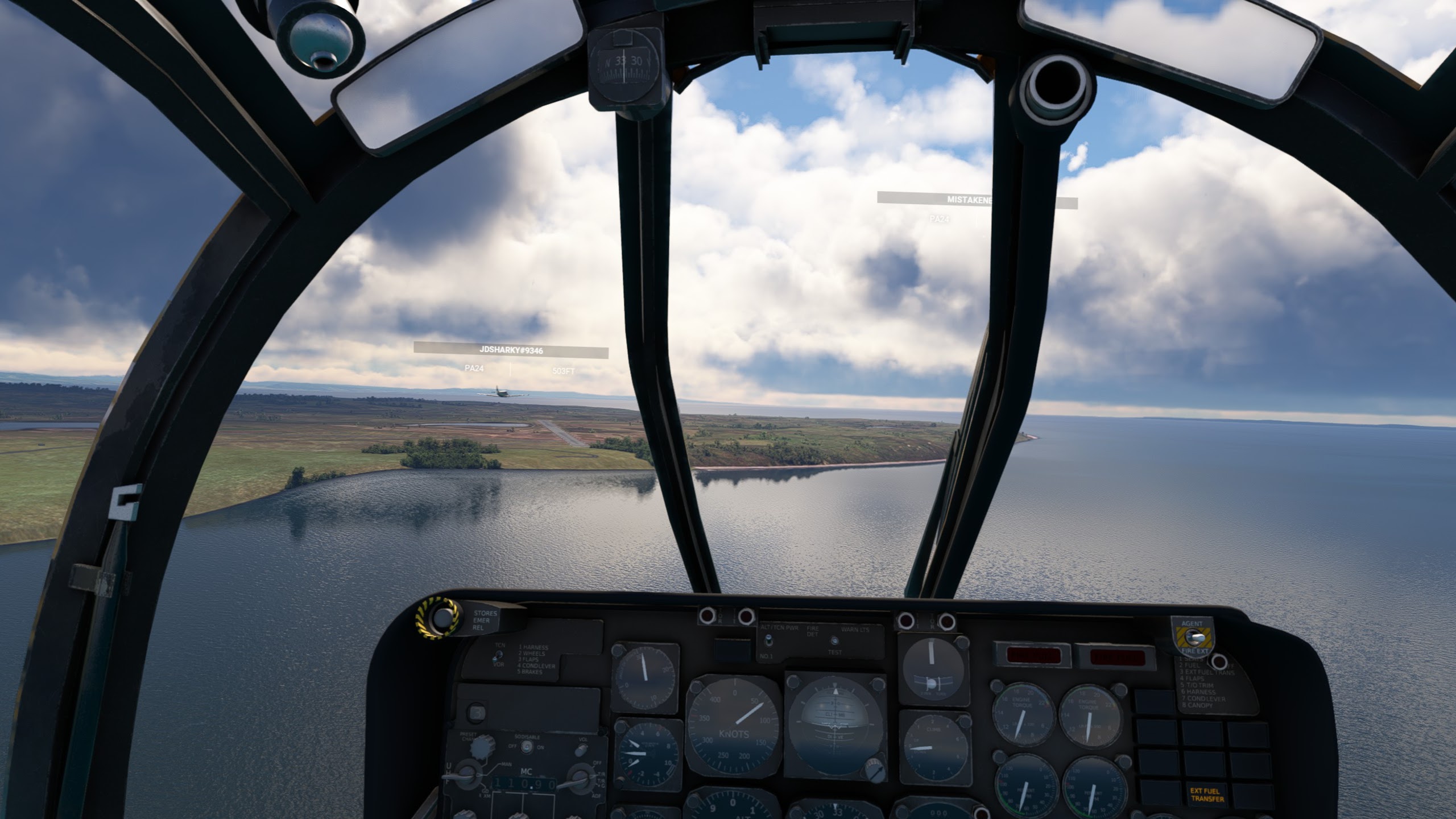
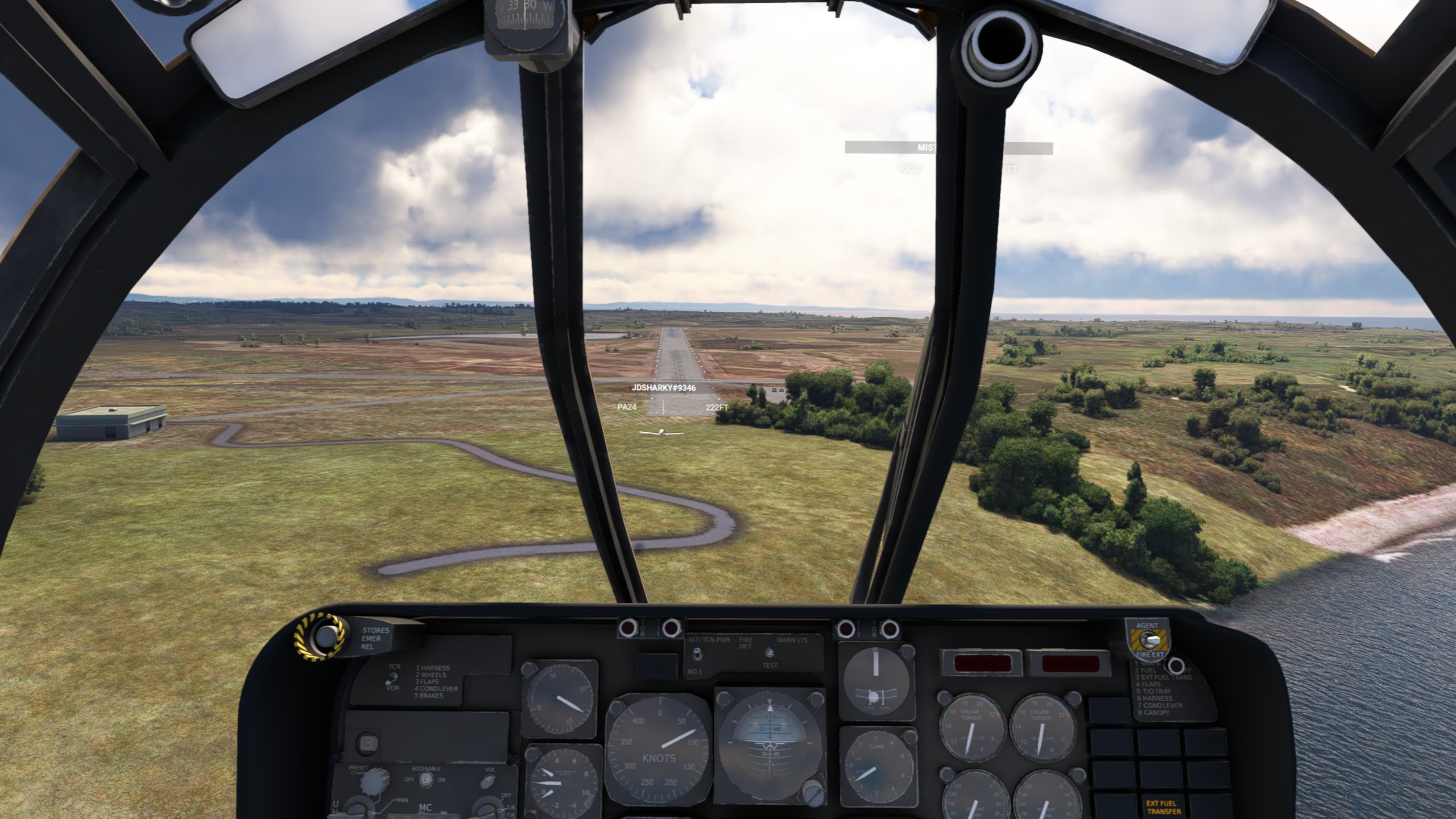
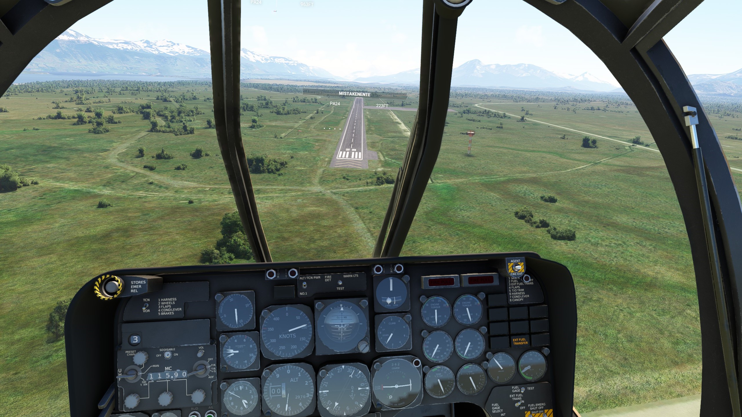
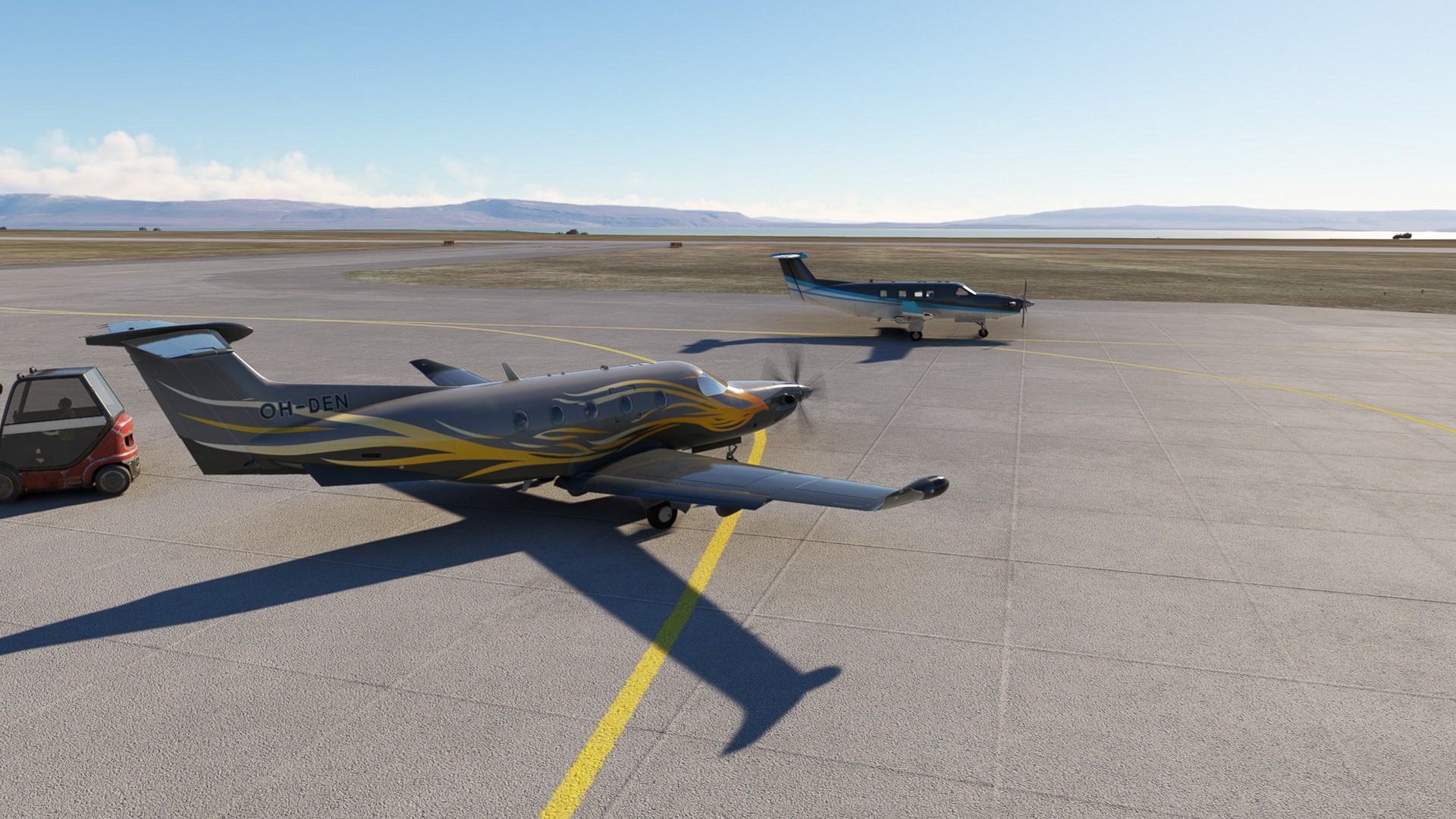
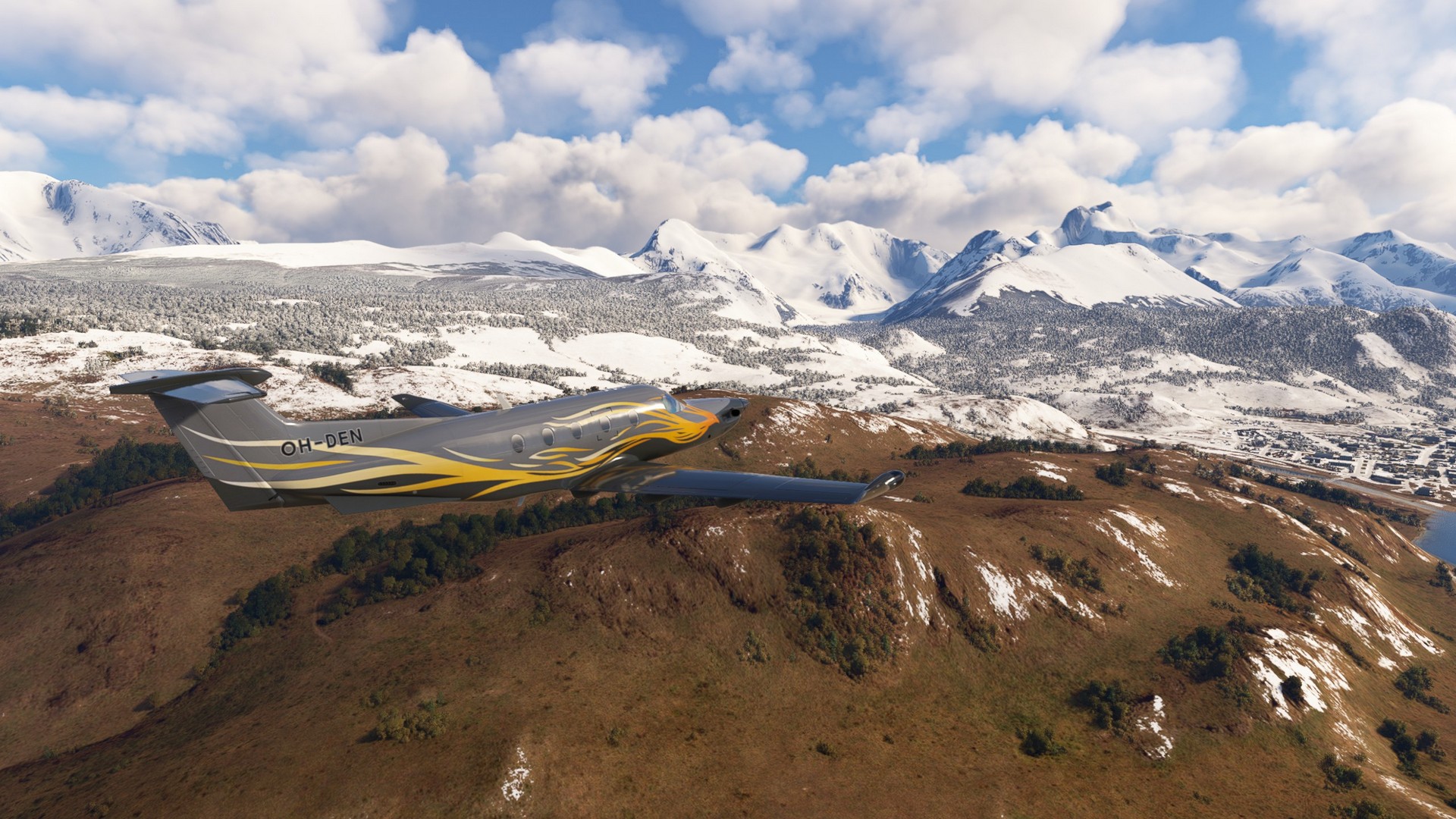
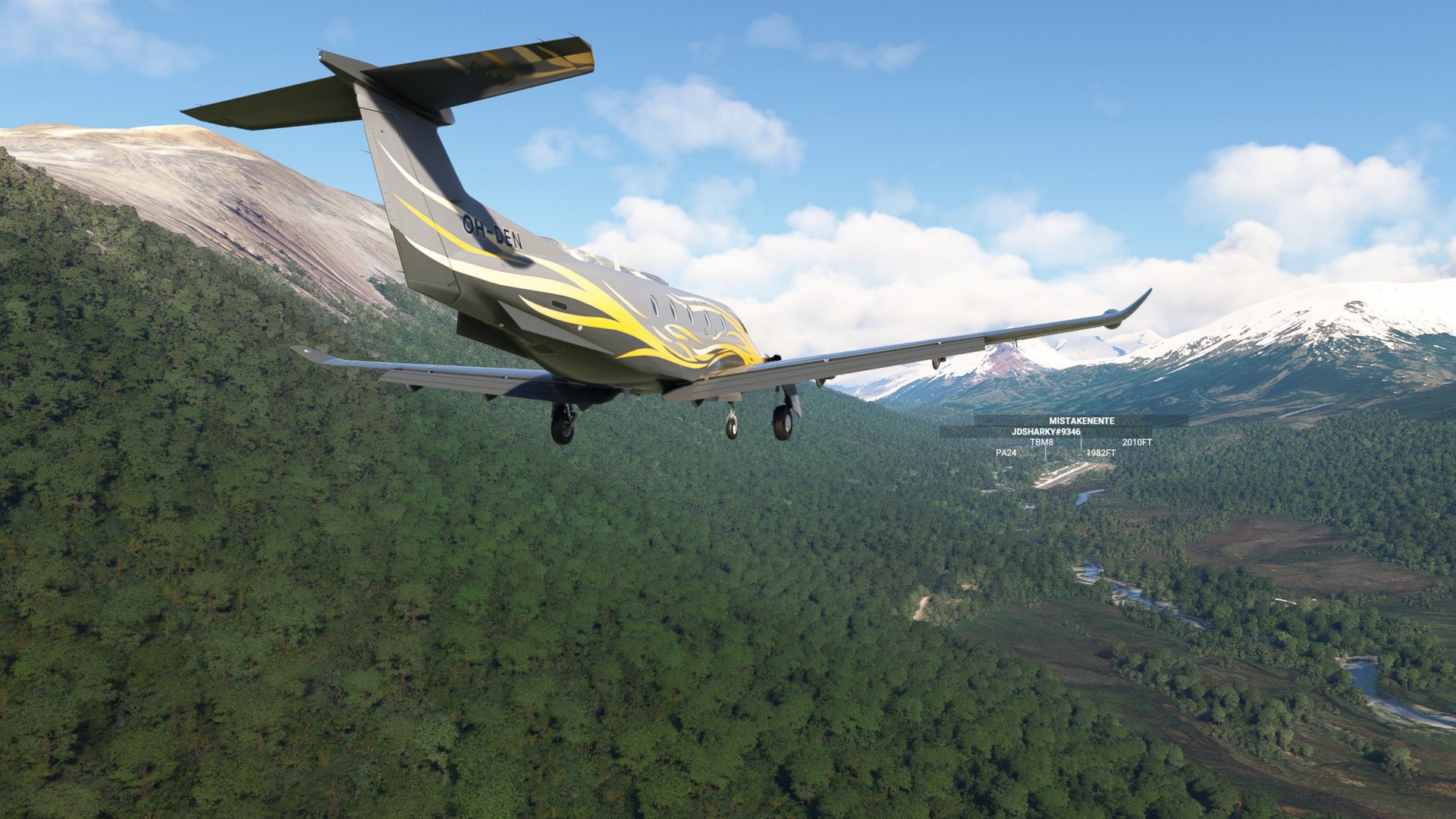
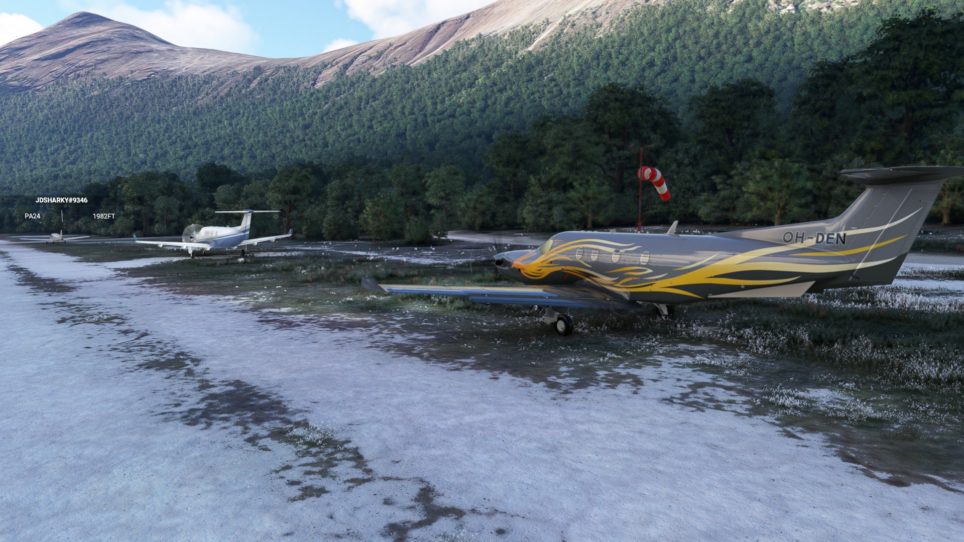
Landing the new plane proved a challenge for me, even tough the first stop in the desert not even had a designated runway. It got even worse in Laguna Redonda, where we battled severe side winds. The valley with its rising mountains and tree tops let us loose the horizon out the window and the approach was very messy indeed. I had to make a go around with the PC-12 not wanting to stop in time. On the second one I finally made it. Just. And Chergo had the camera rolling on his landing first and mine later. So you can all now watch my not so glorious flying!
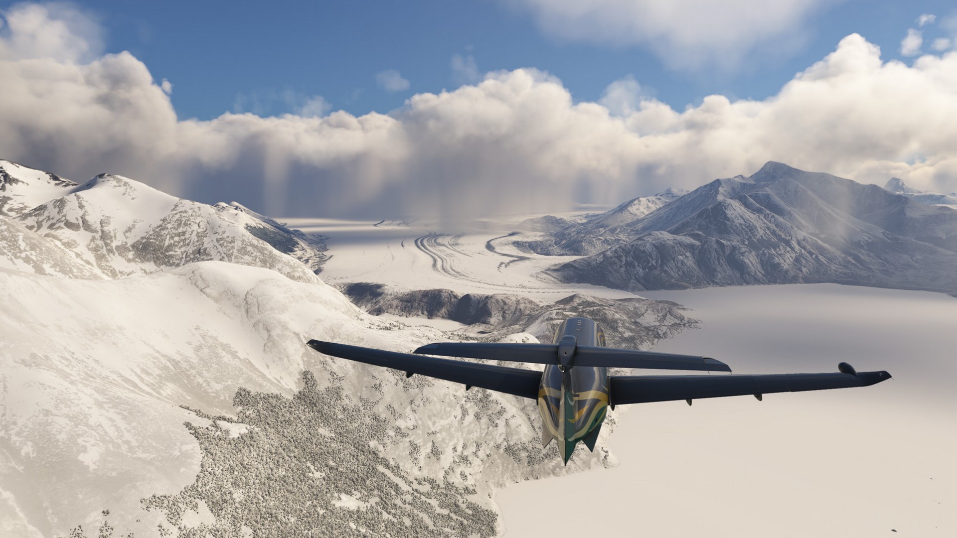
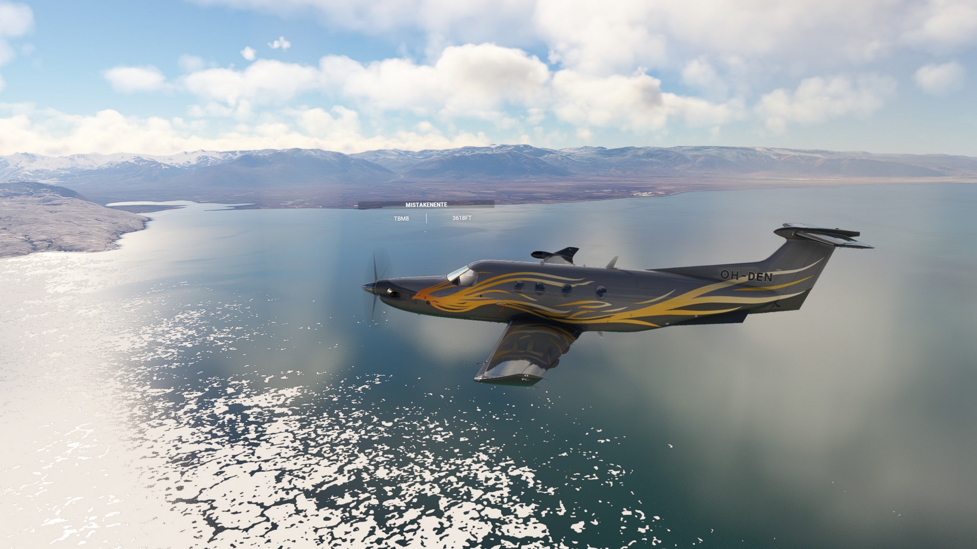
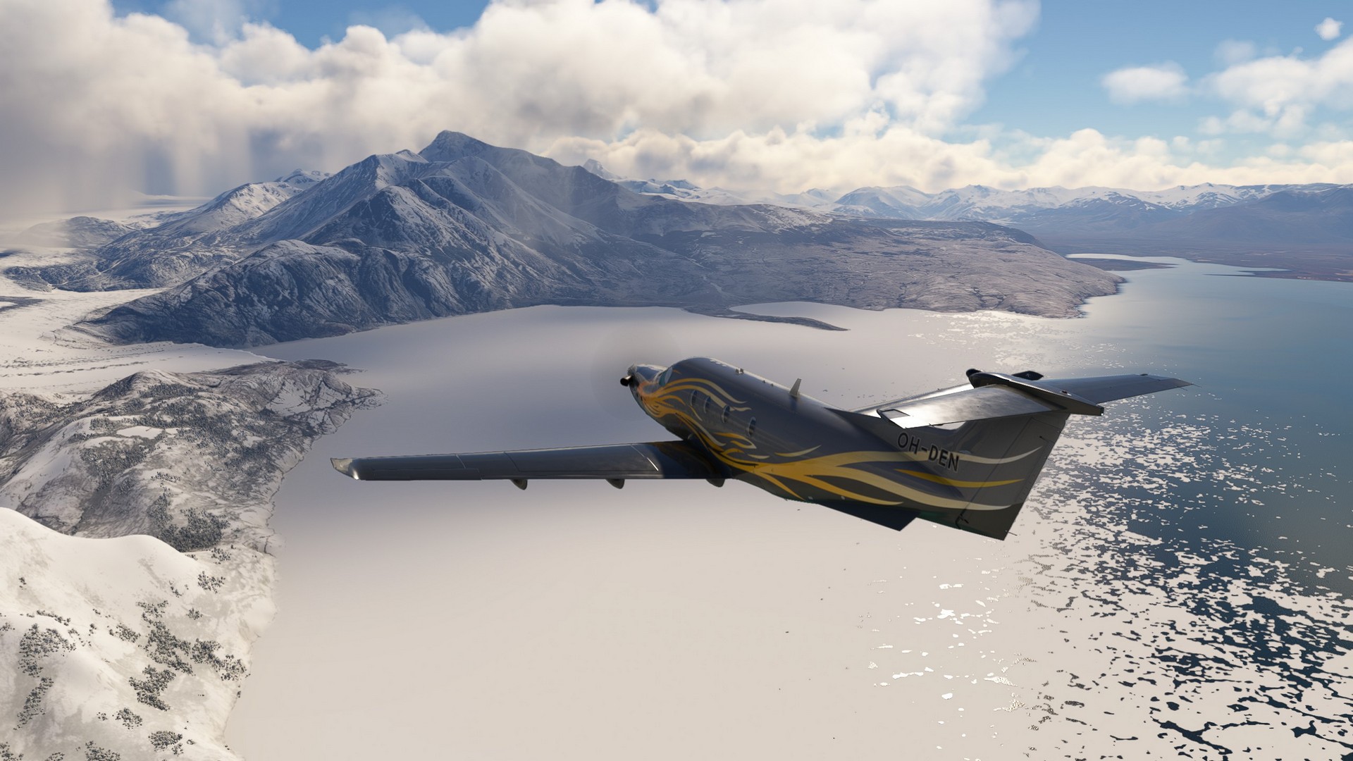
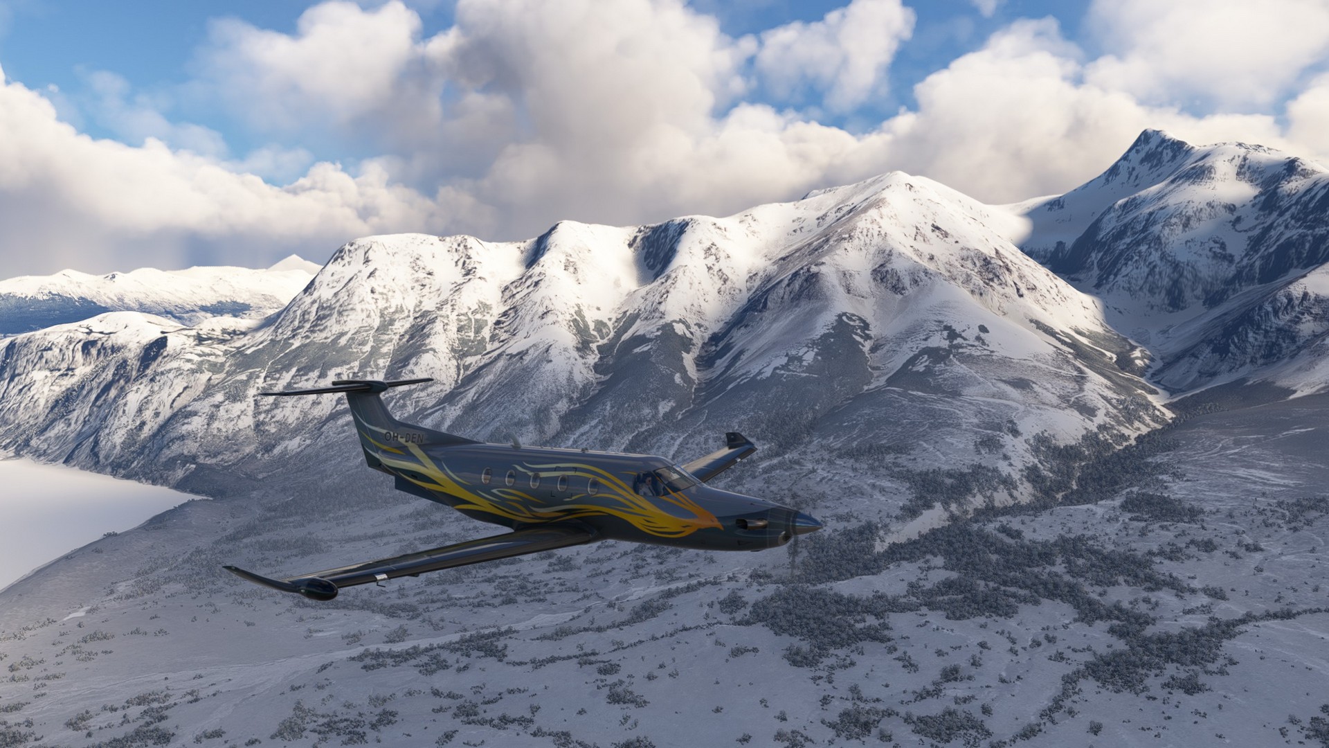
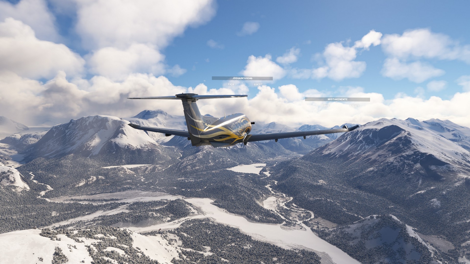
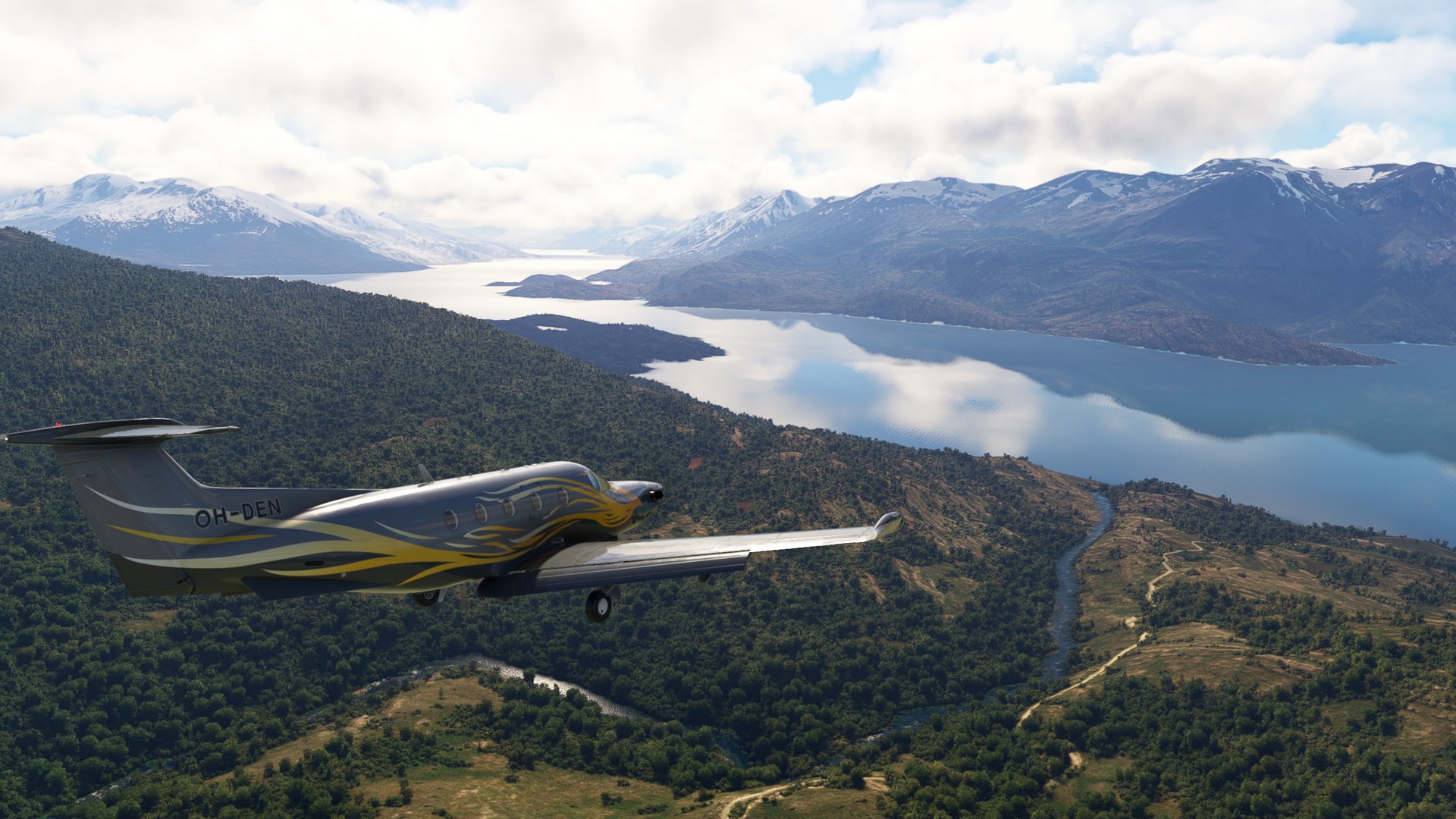
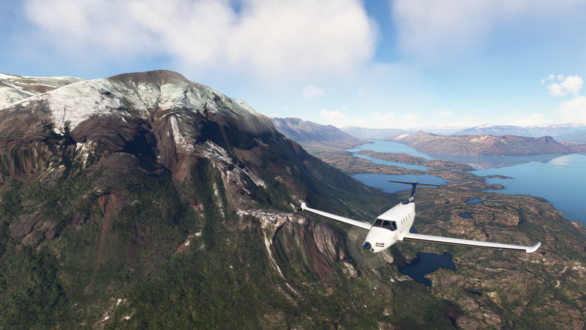
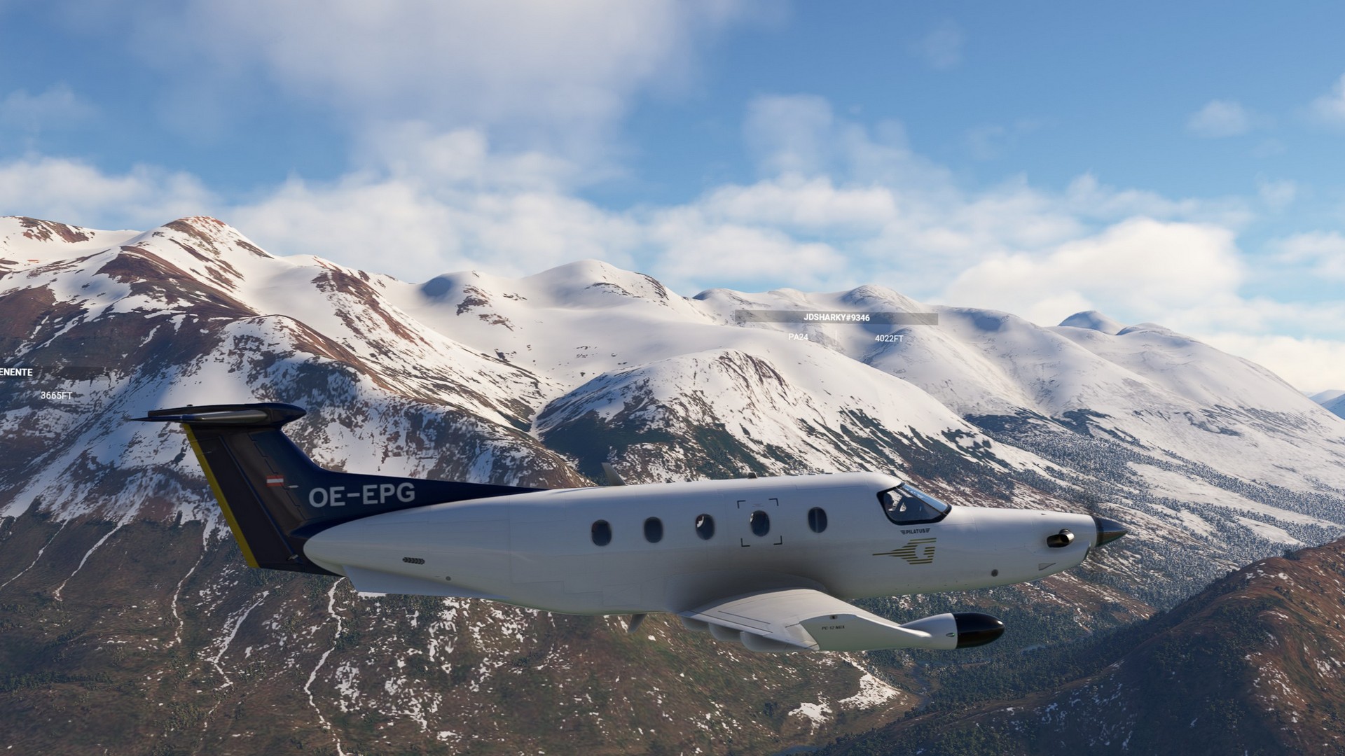
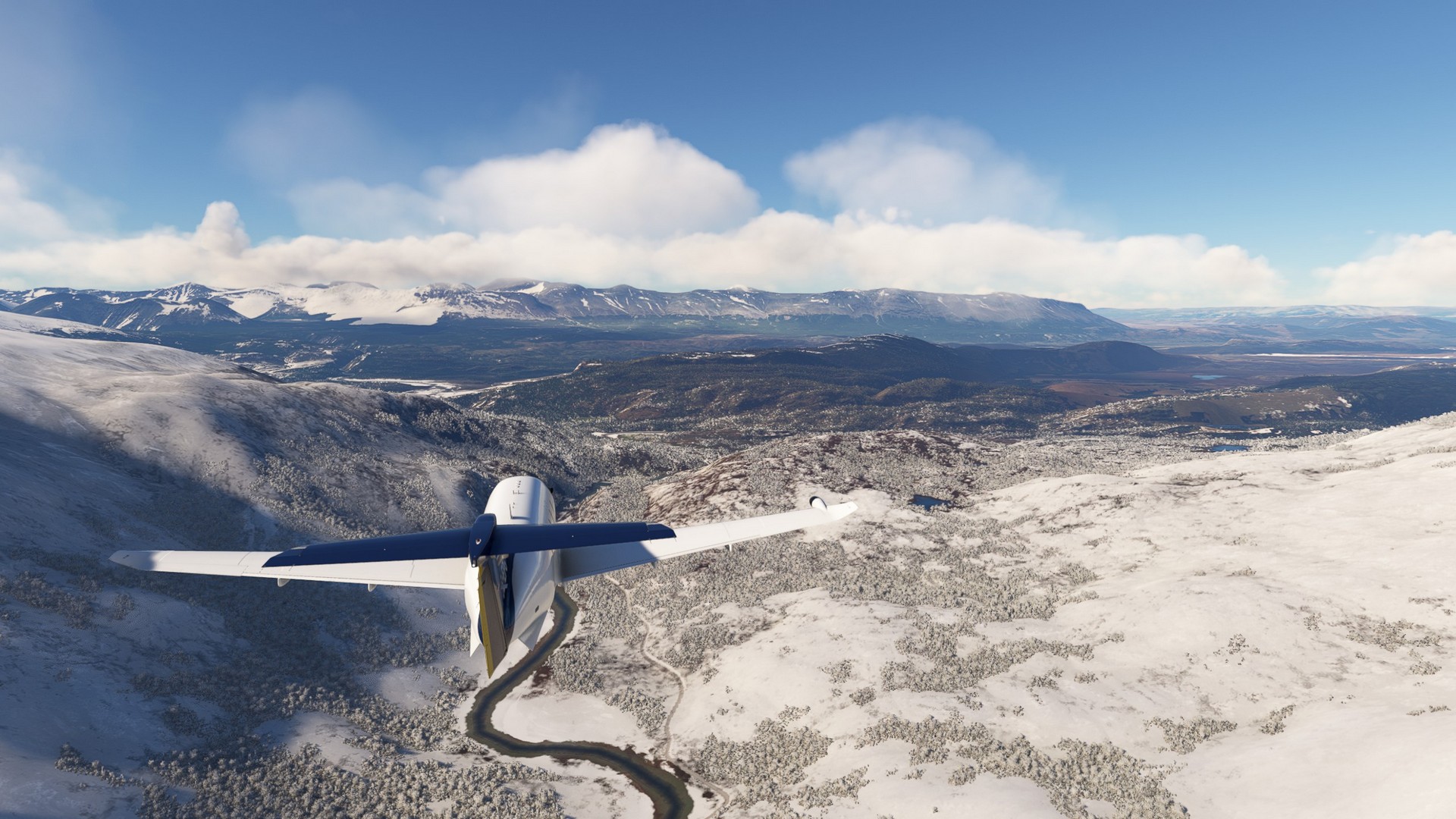
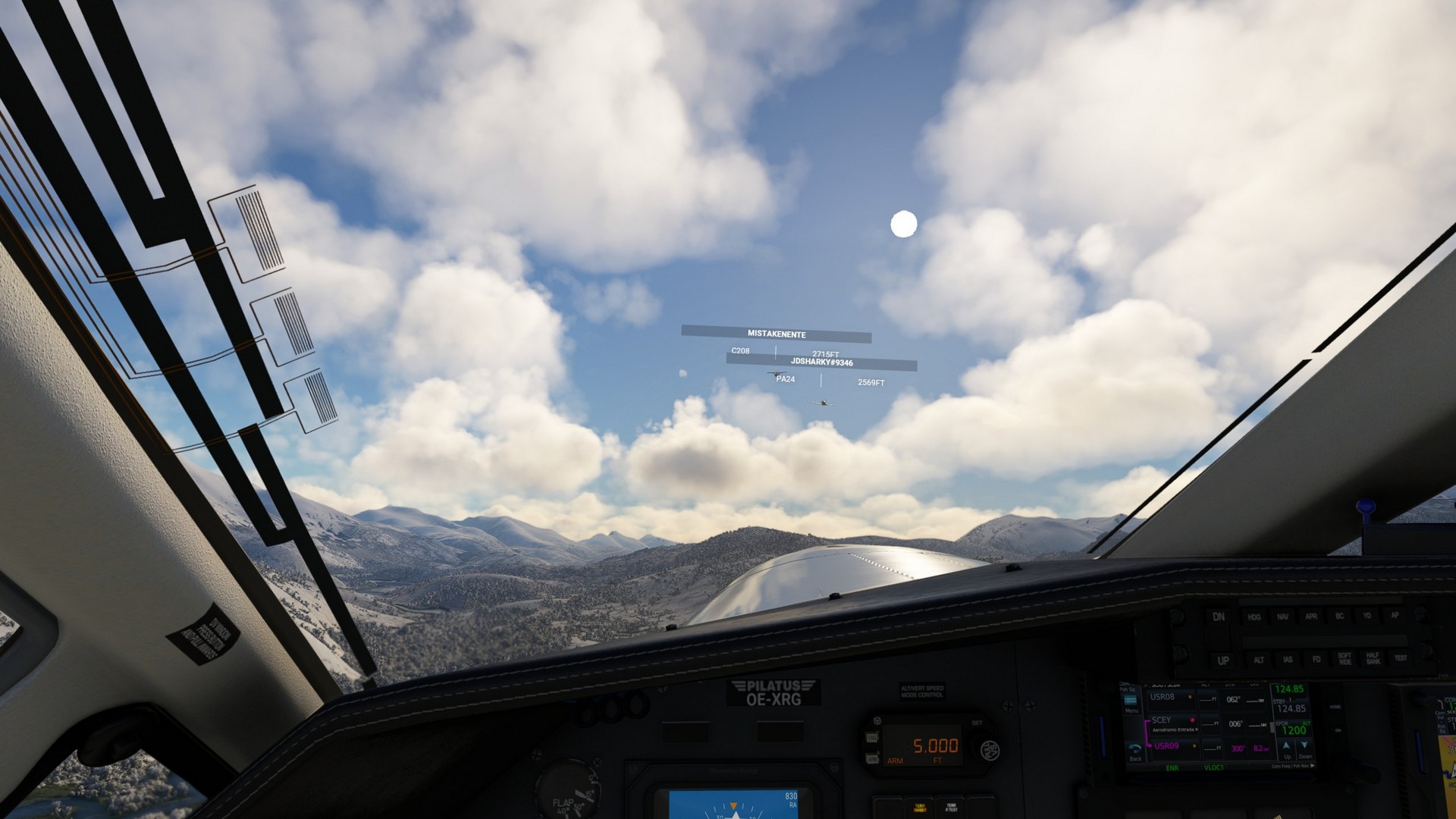
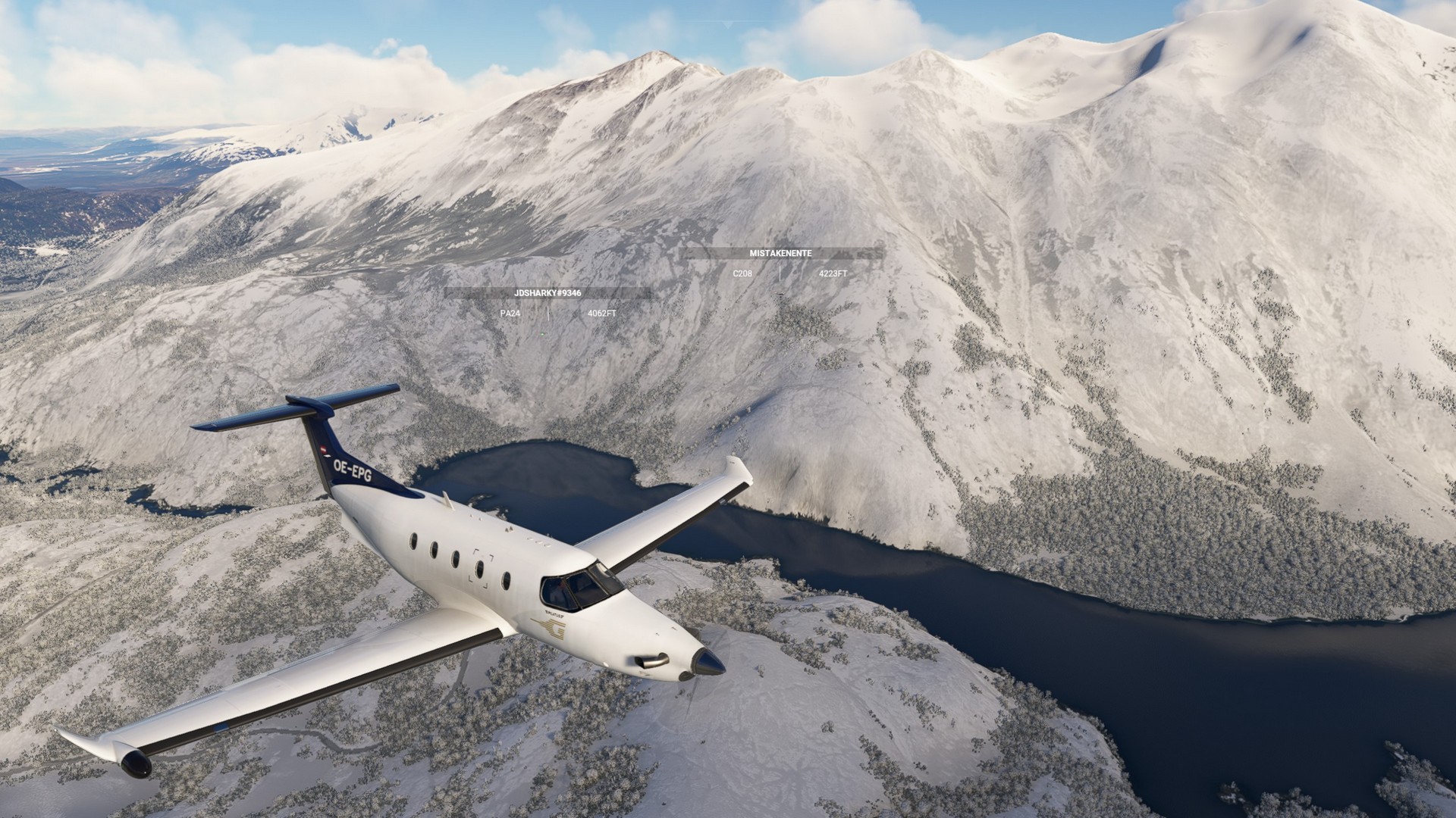
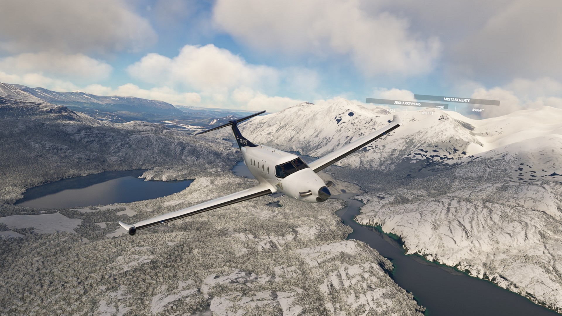
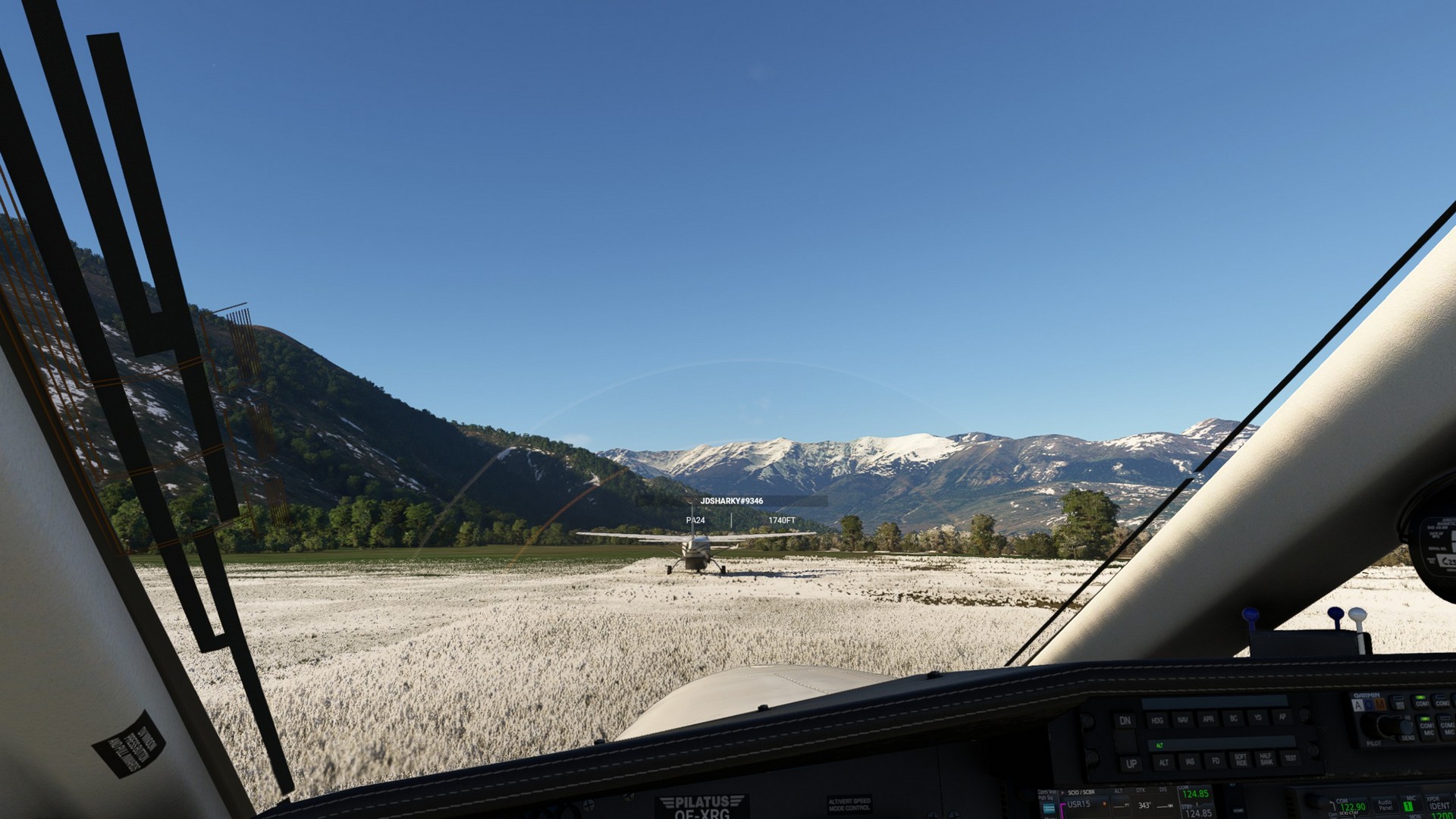
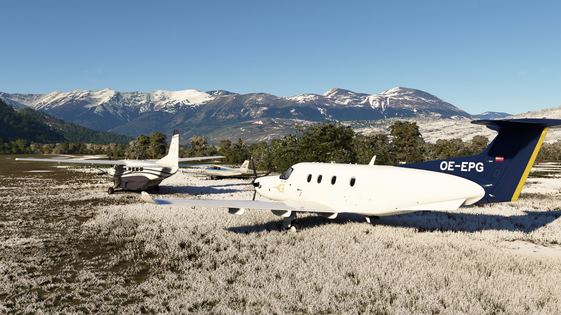
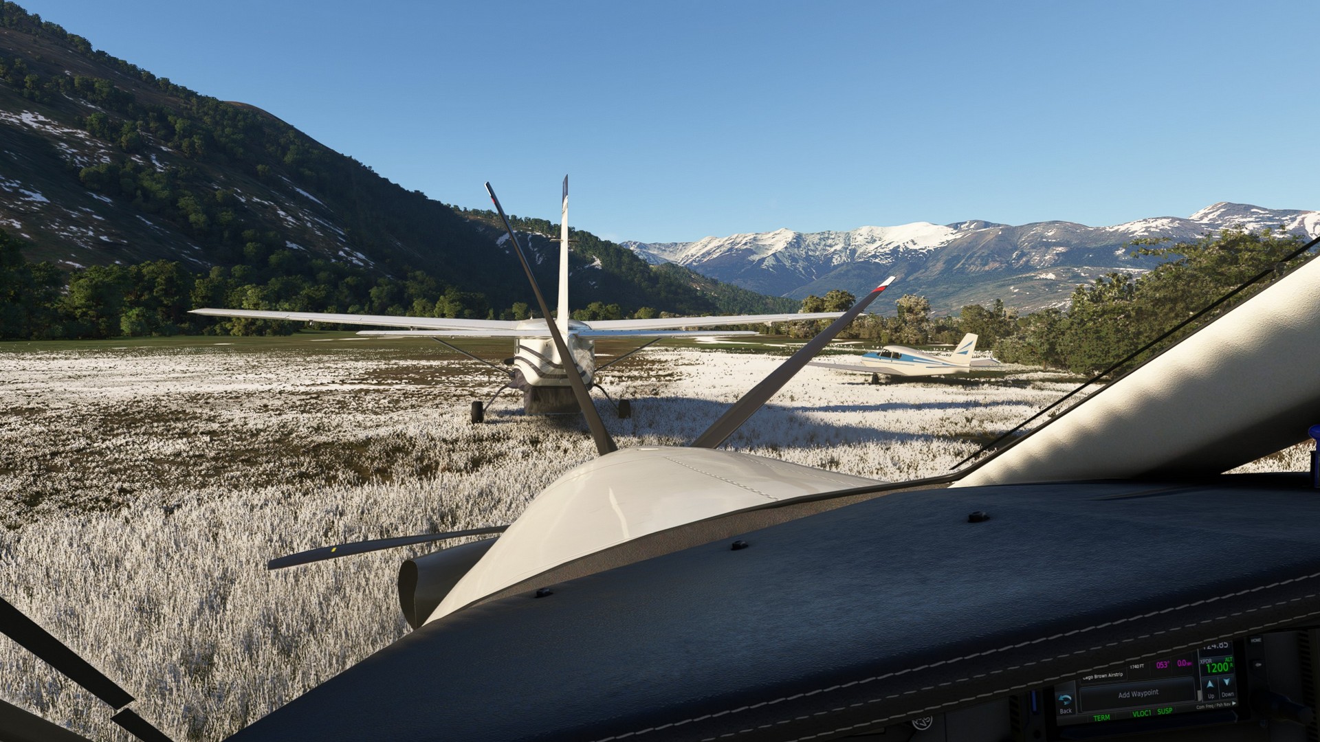
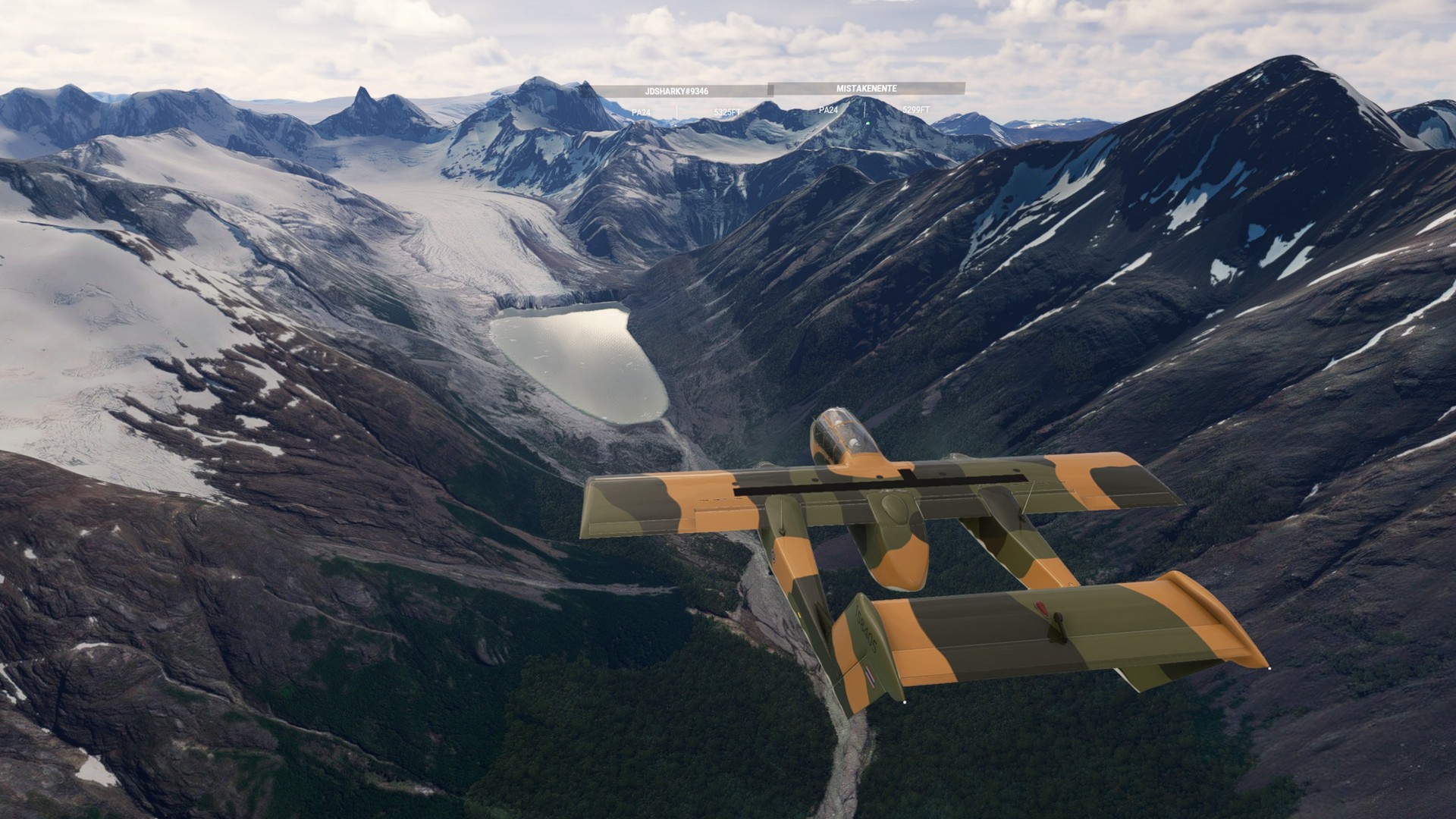
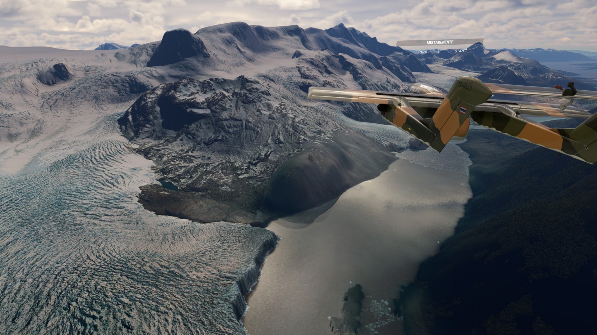
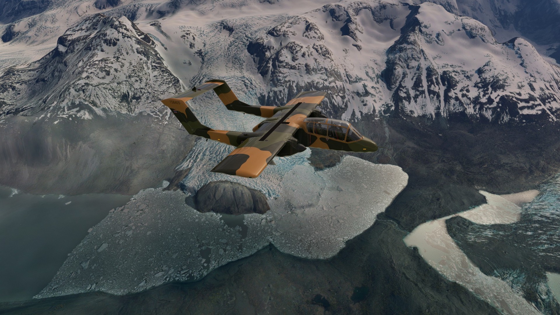
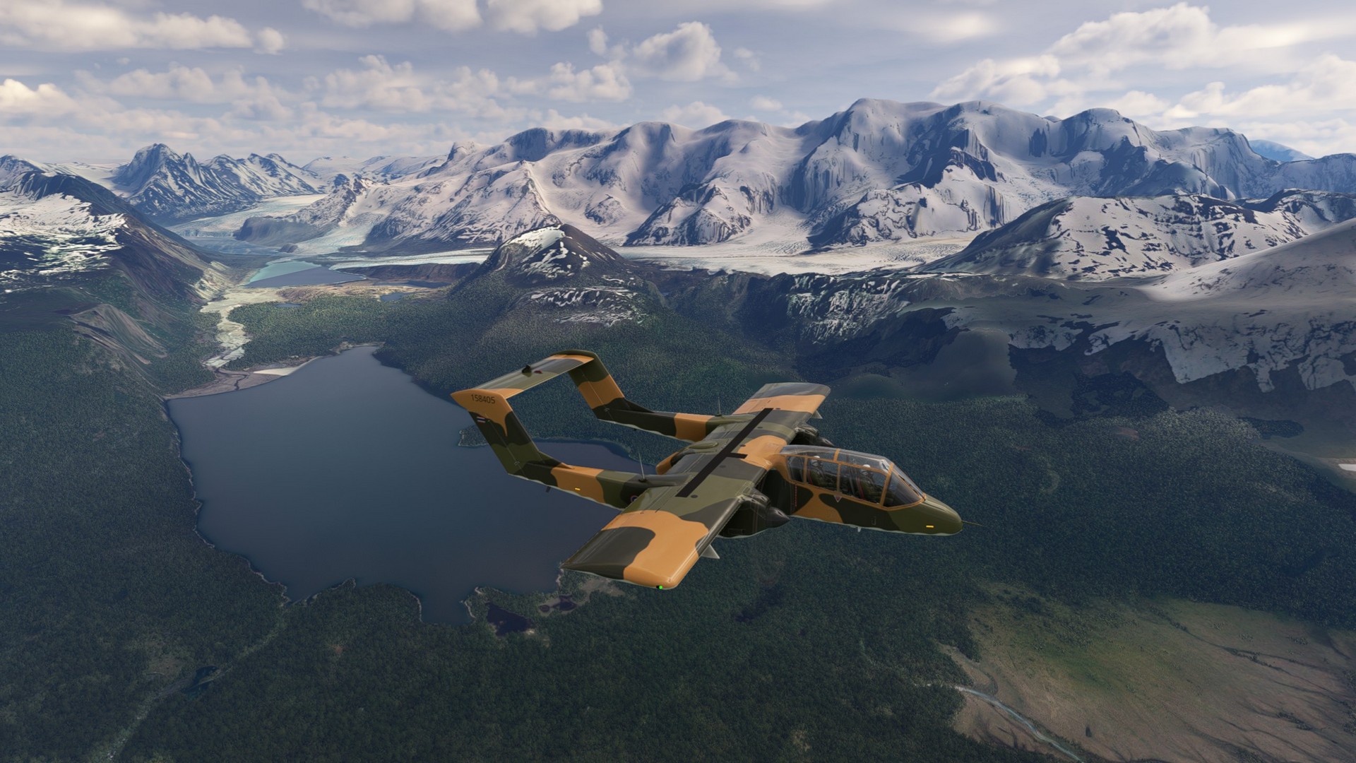
Laguna Redonda Lago Brown: Leg 11, 12 & 13
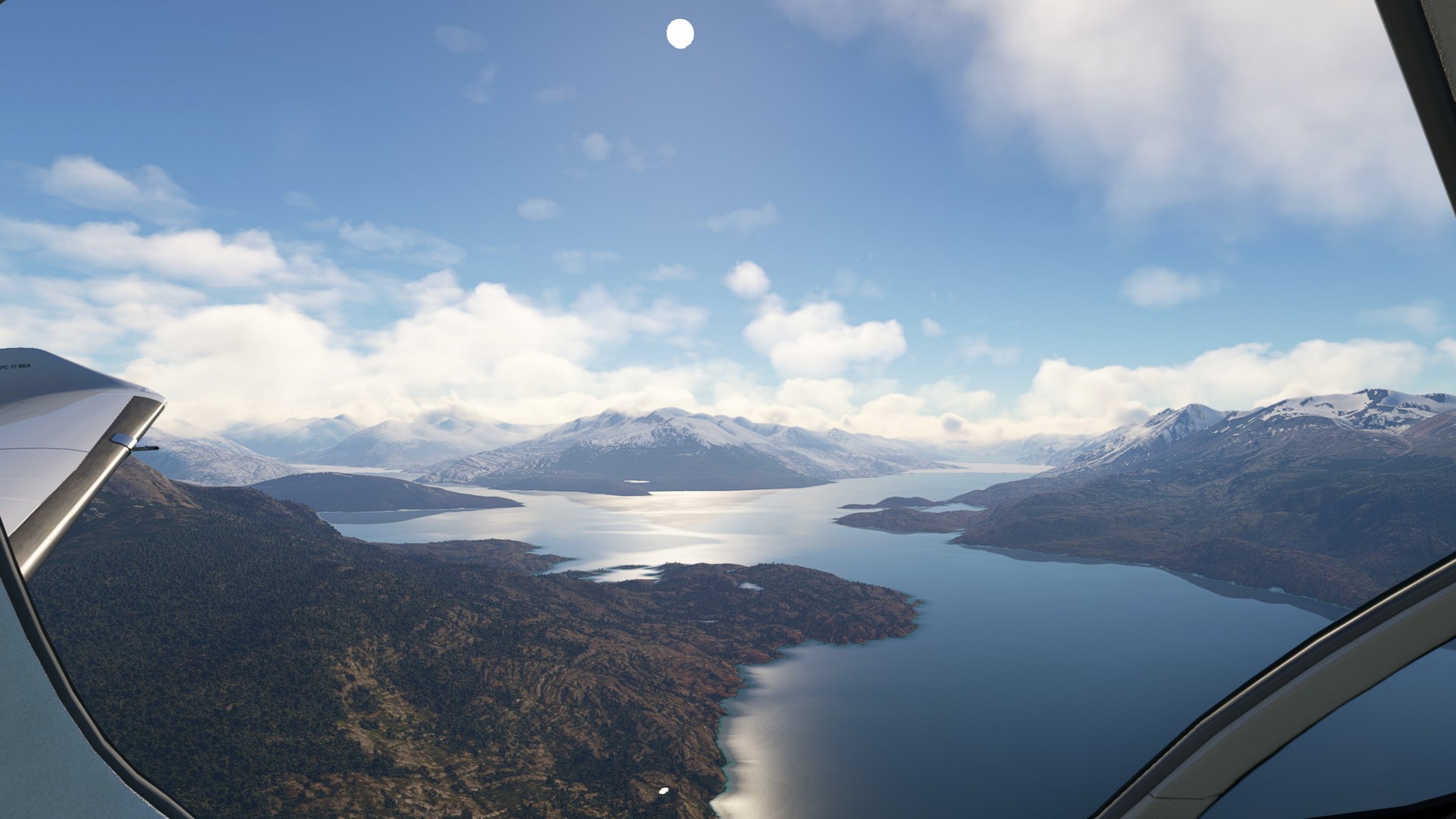
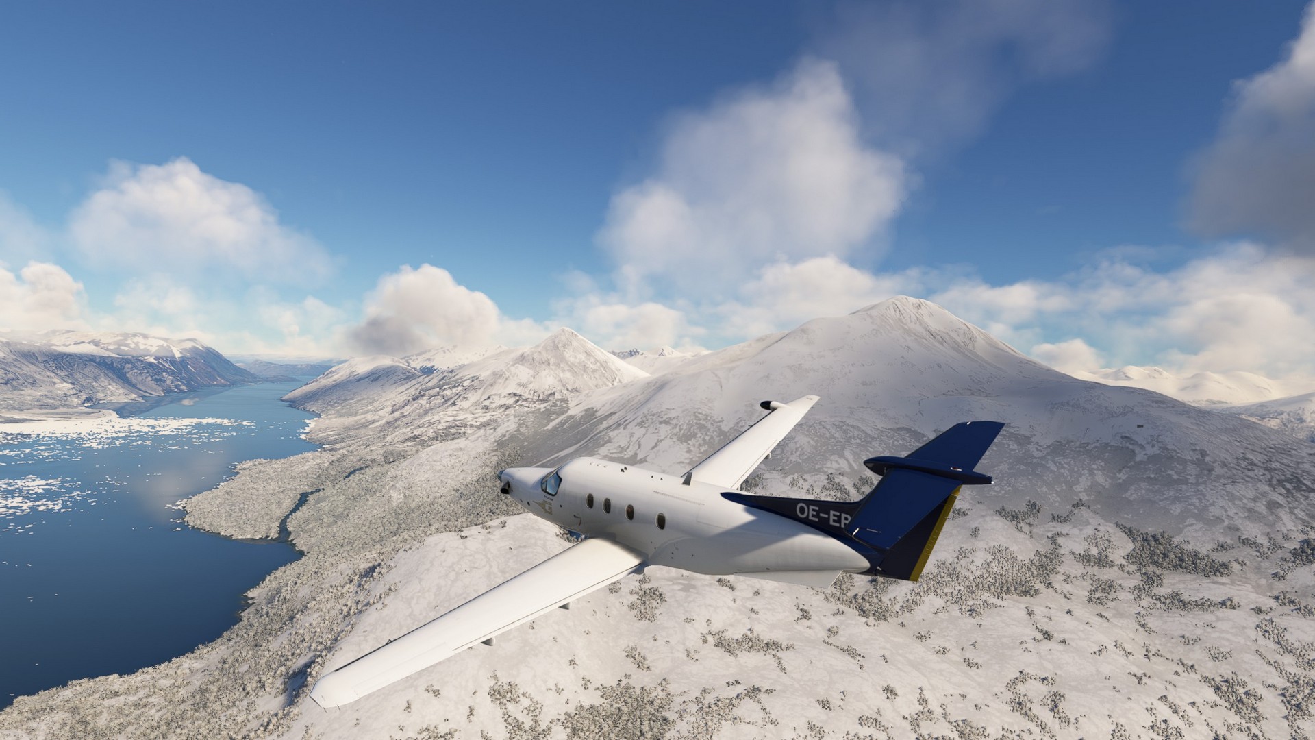
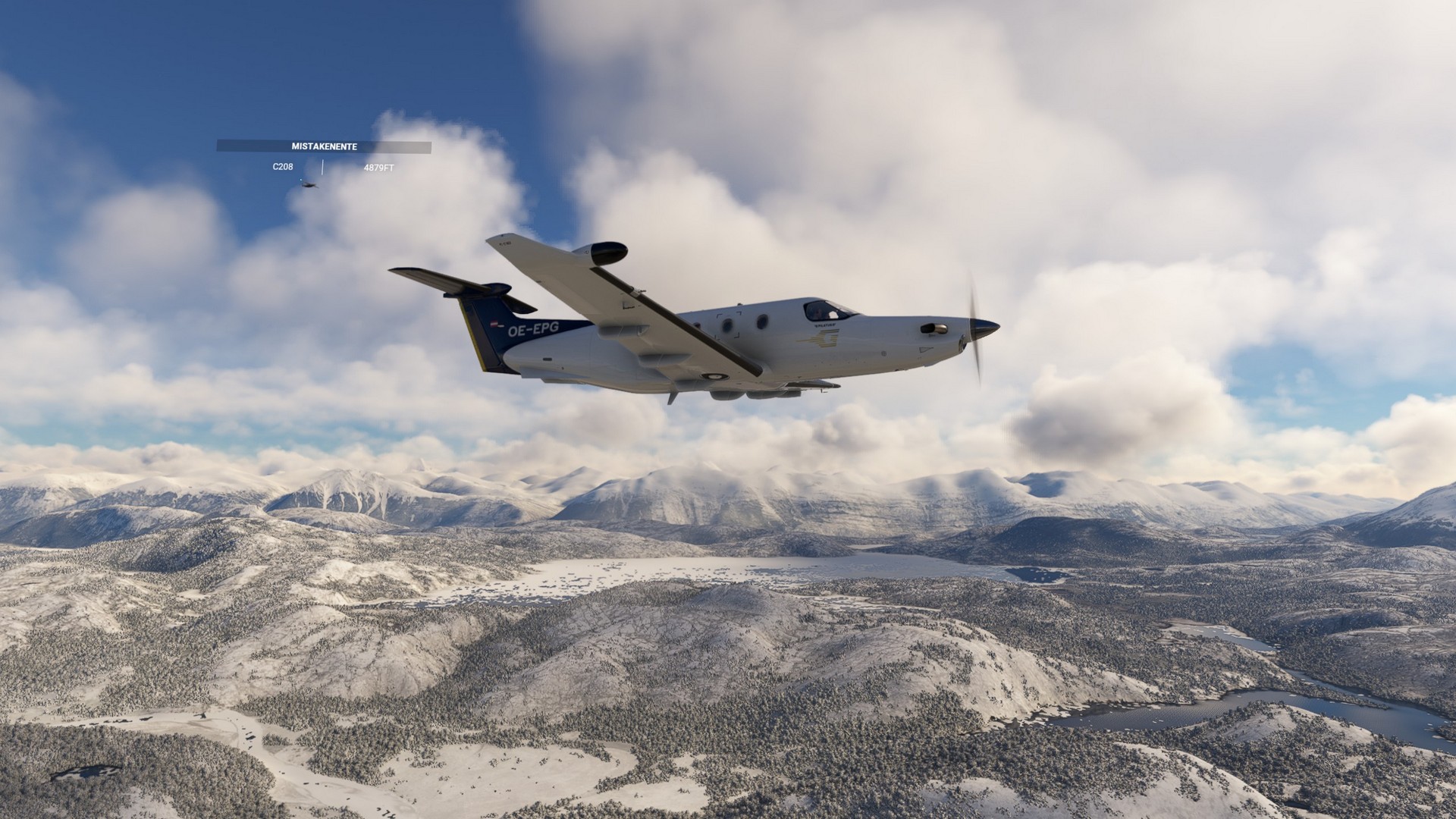
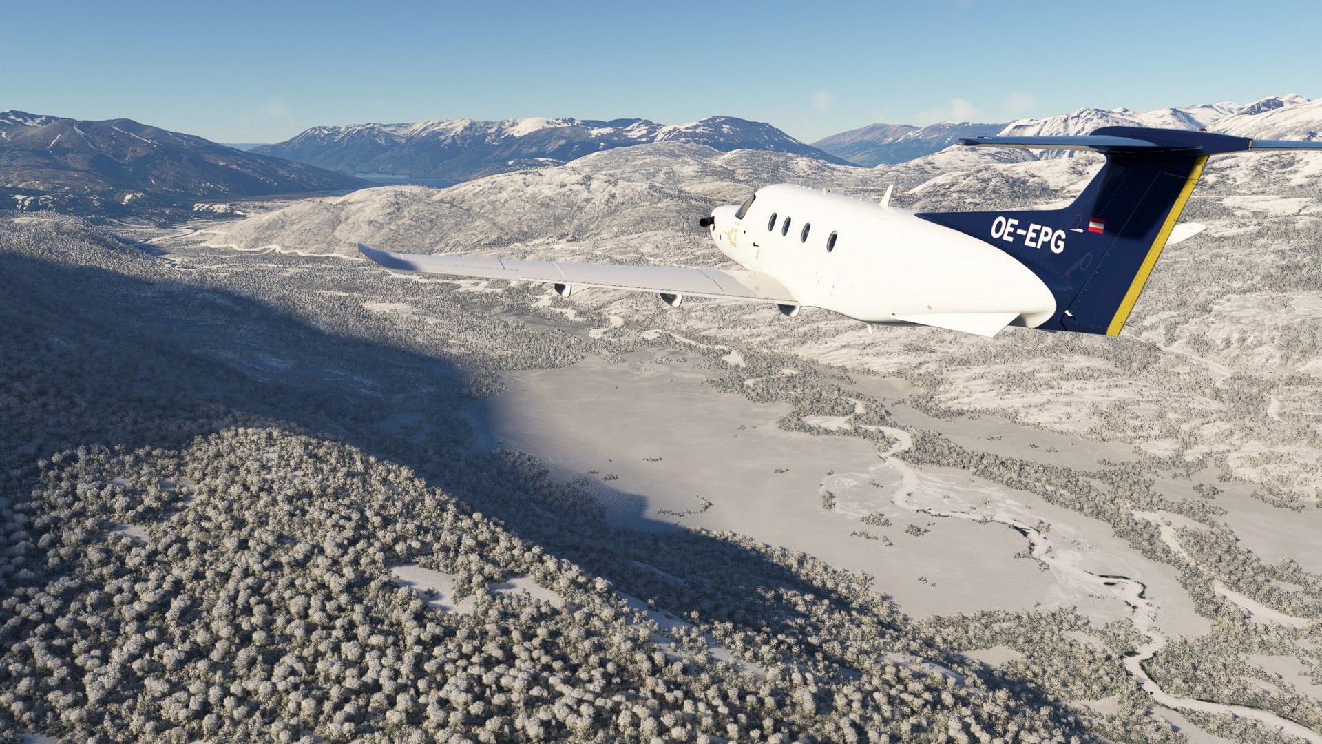
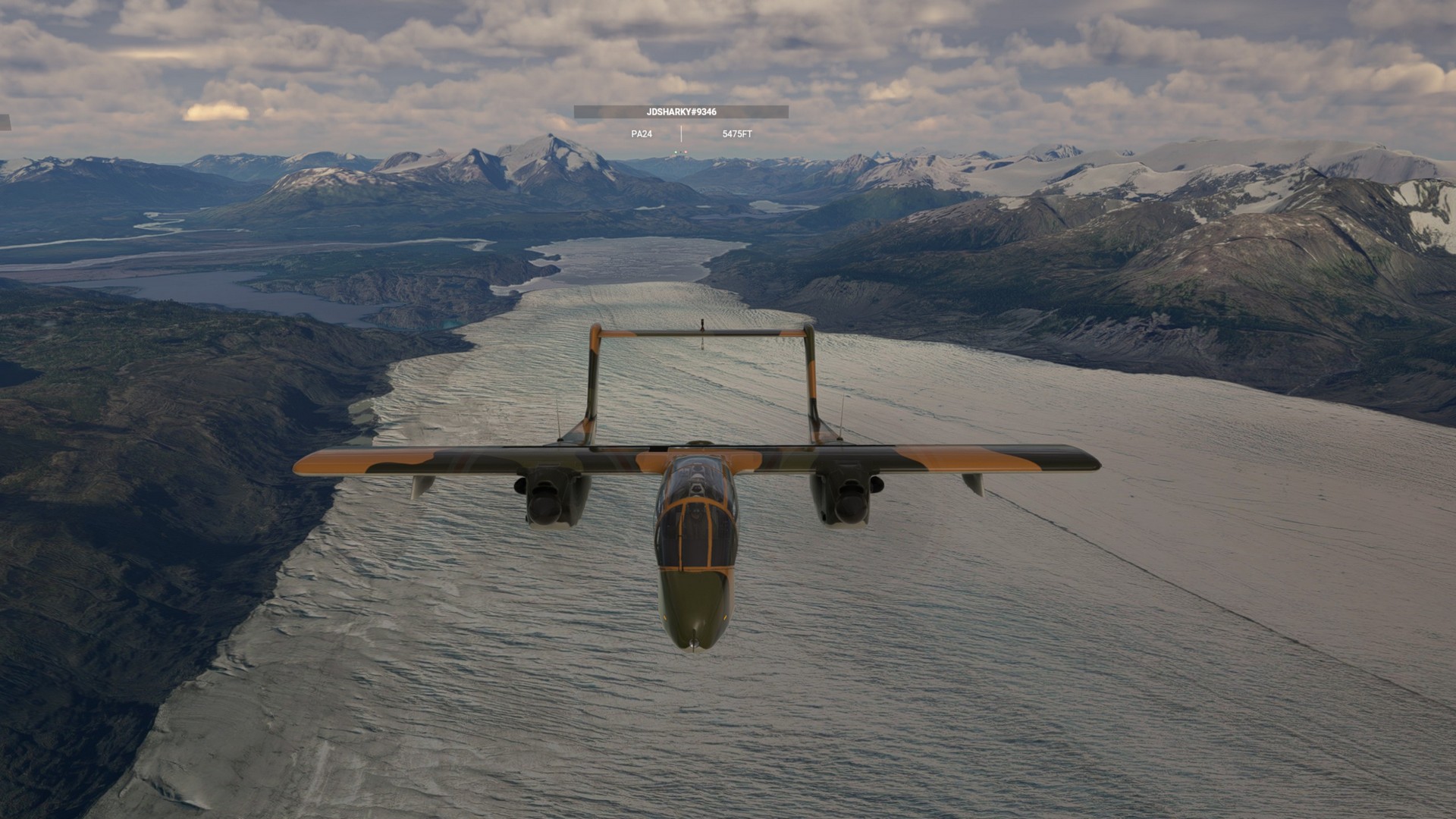
Having familiarized with the PC-12, this flight was much more relaxed. We had blue skies with the occasional cloud in front of us all the way and could take in the sights, a pure joy to fly.
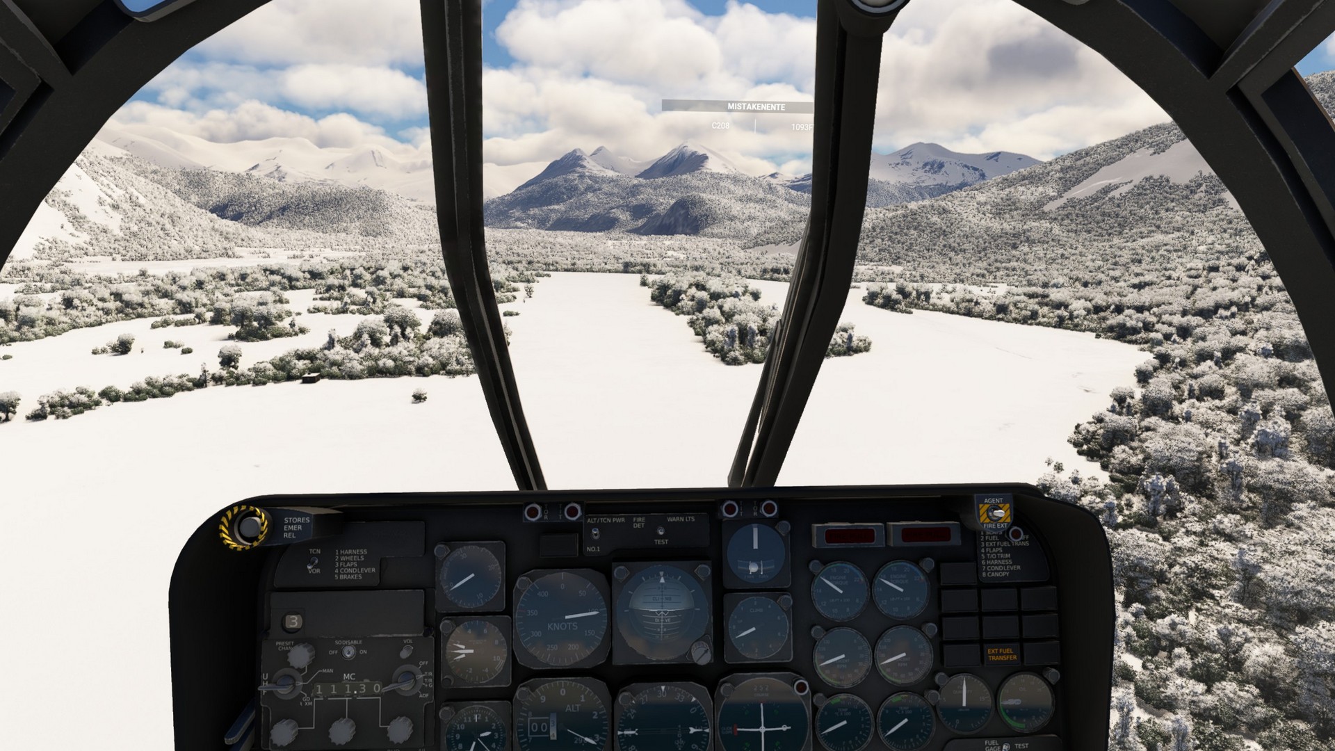
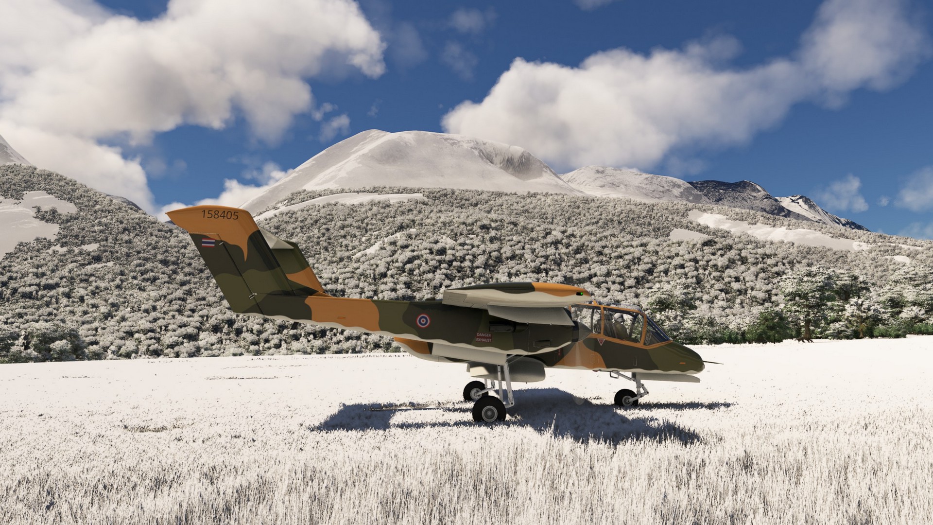
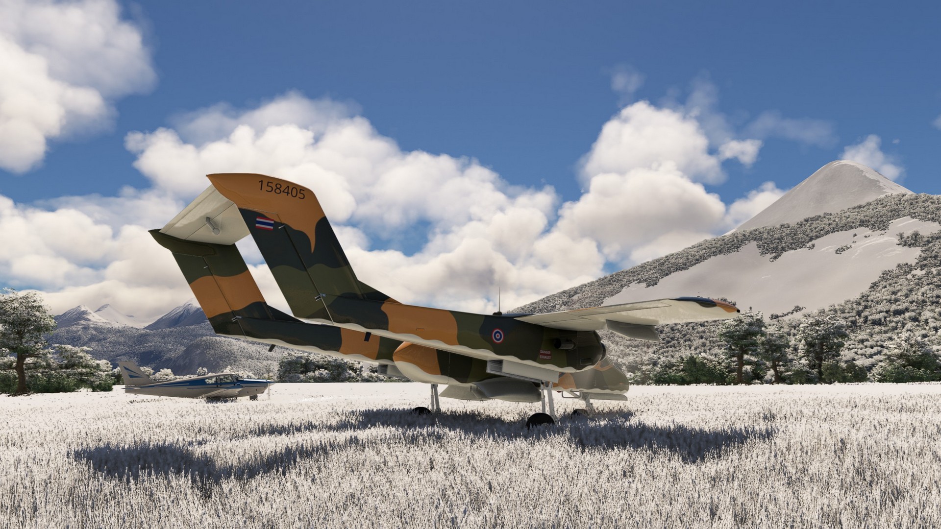
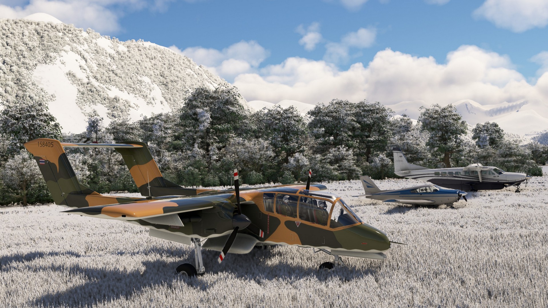
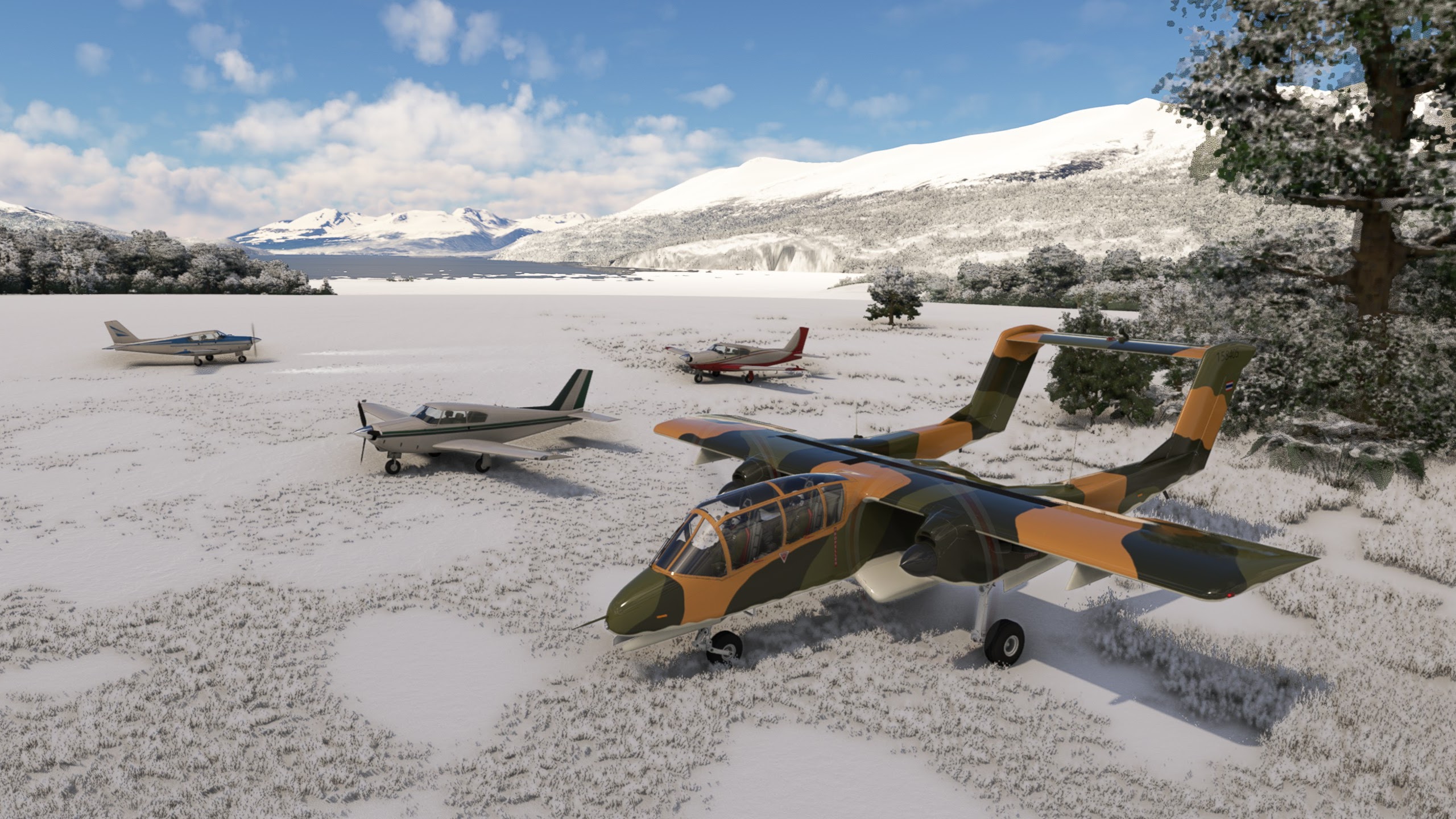
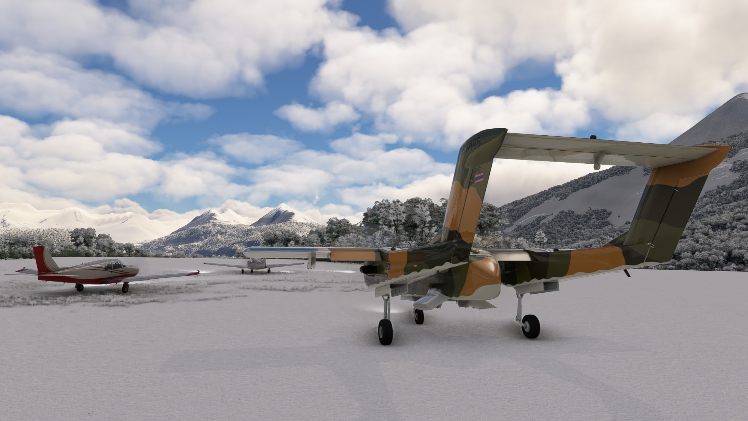
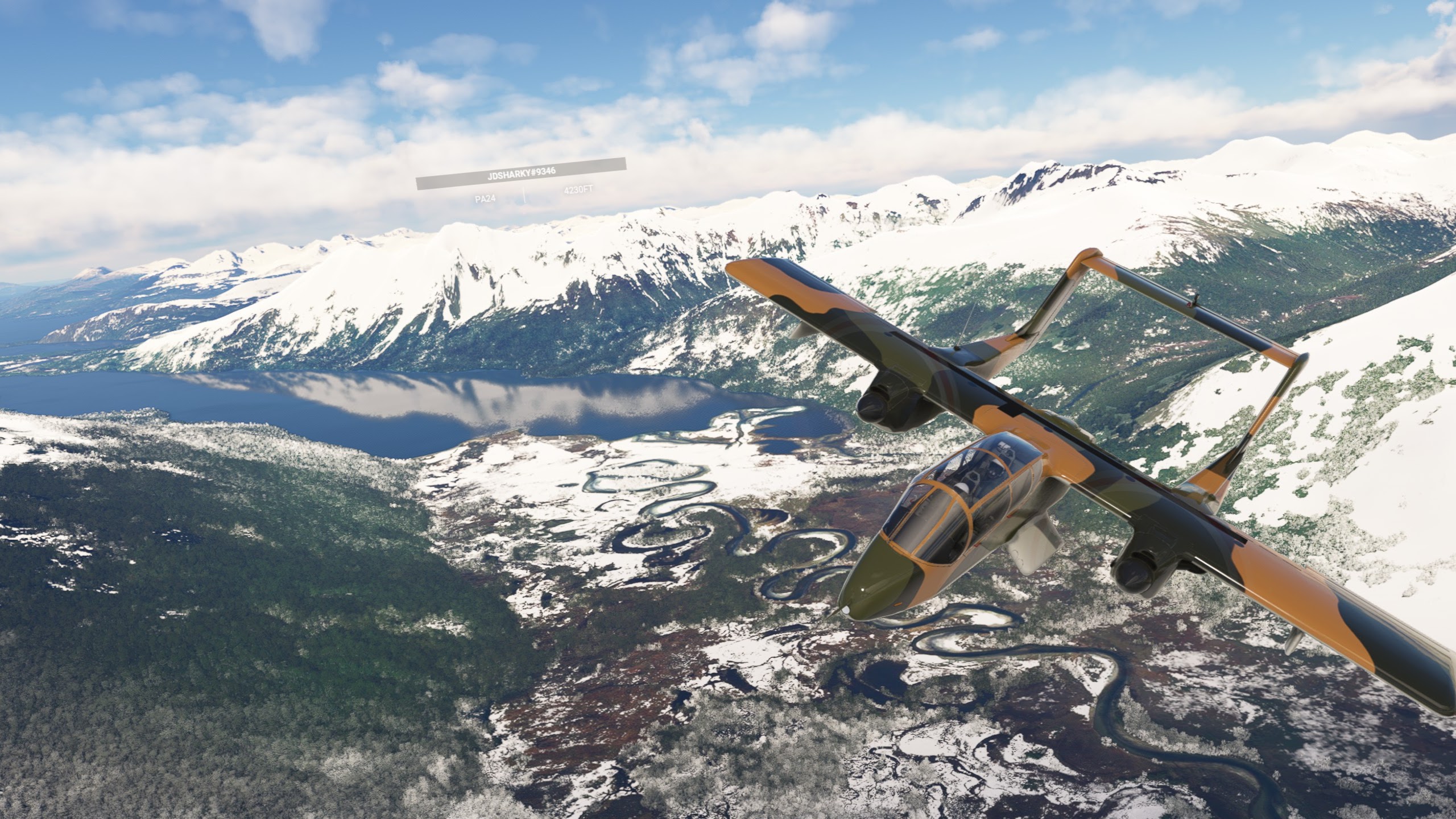
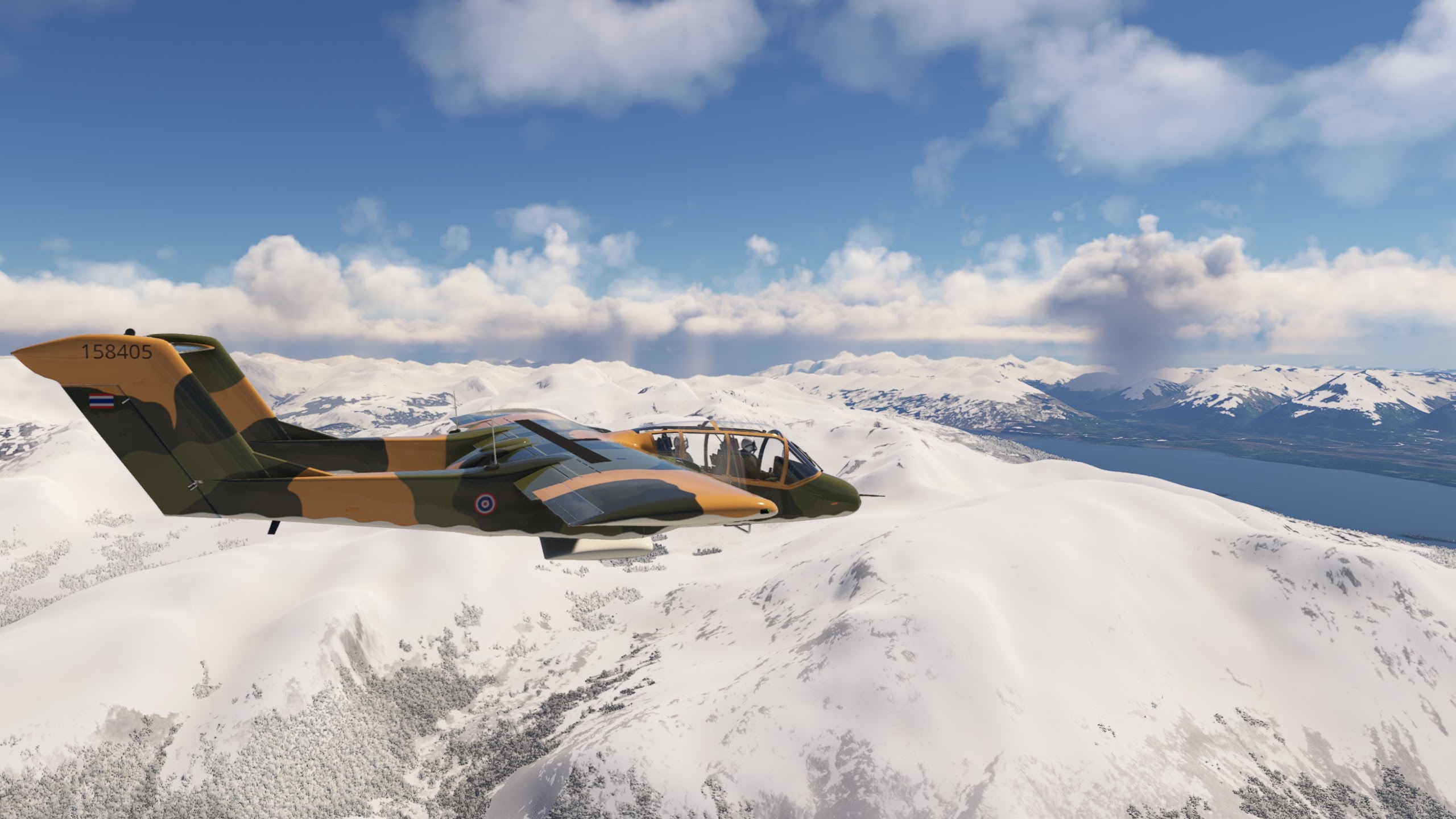
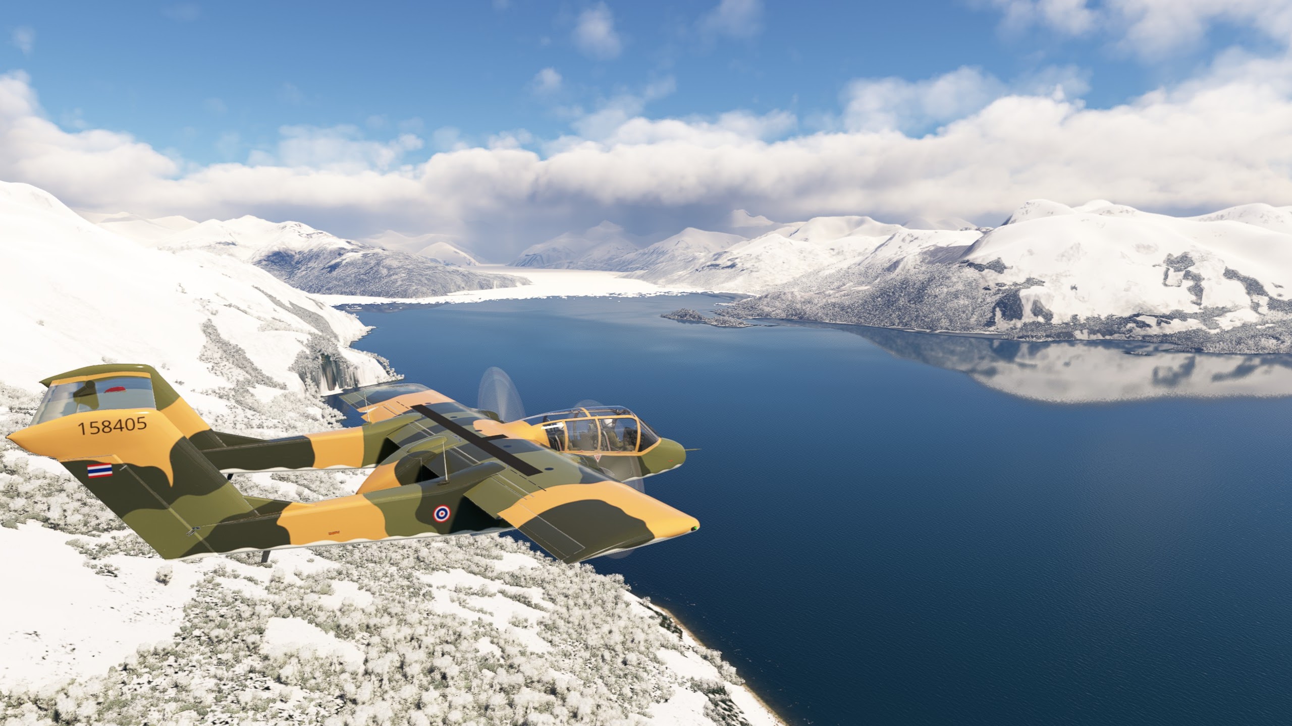
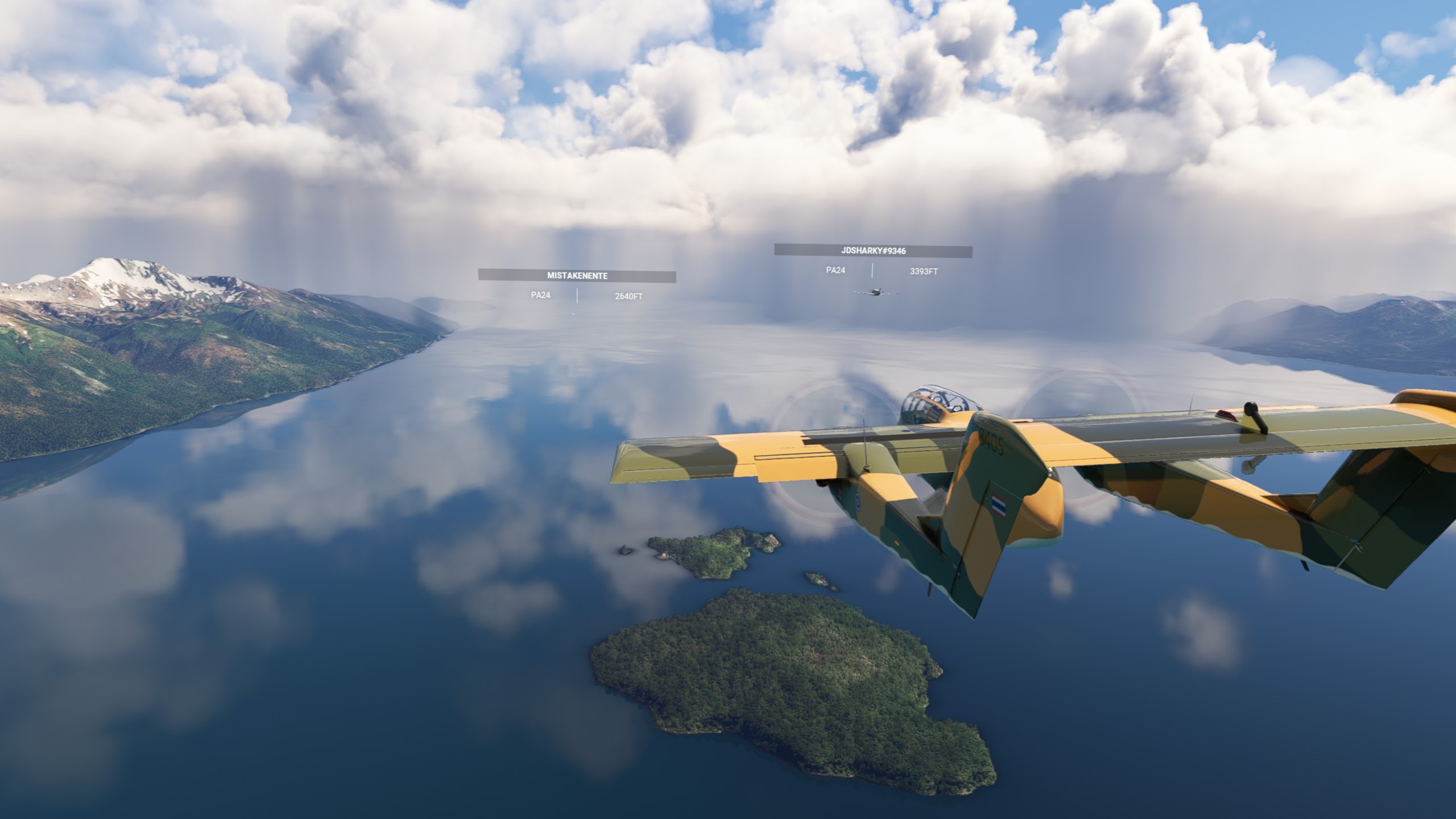
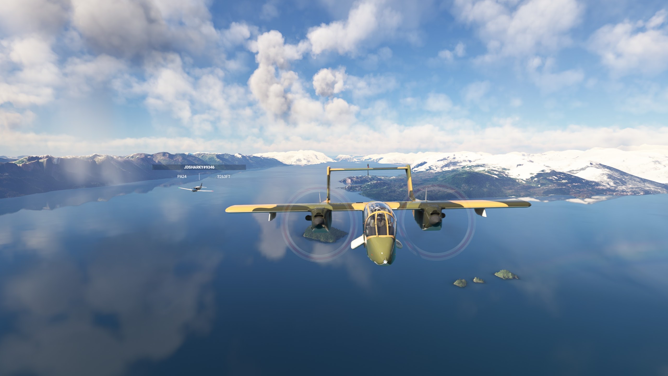
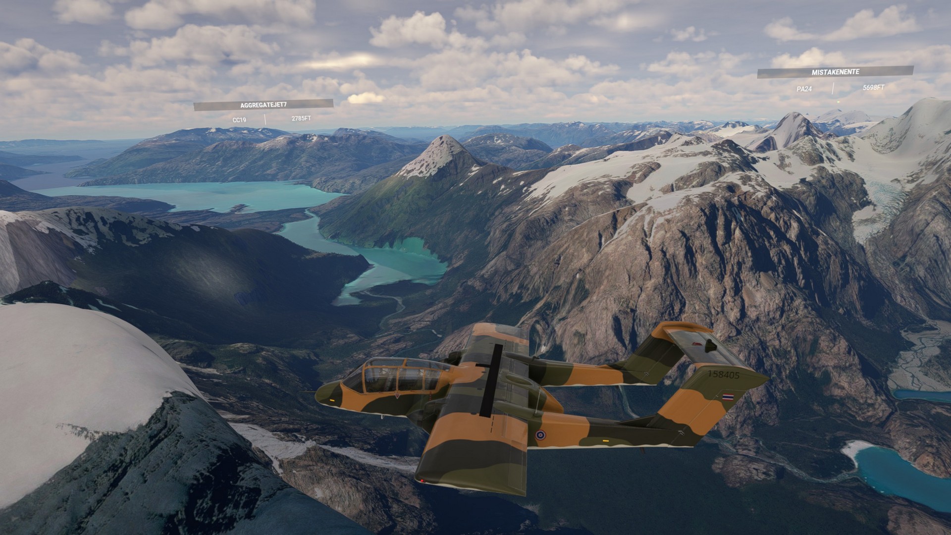
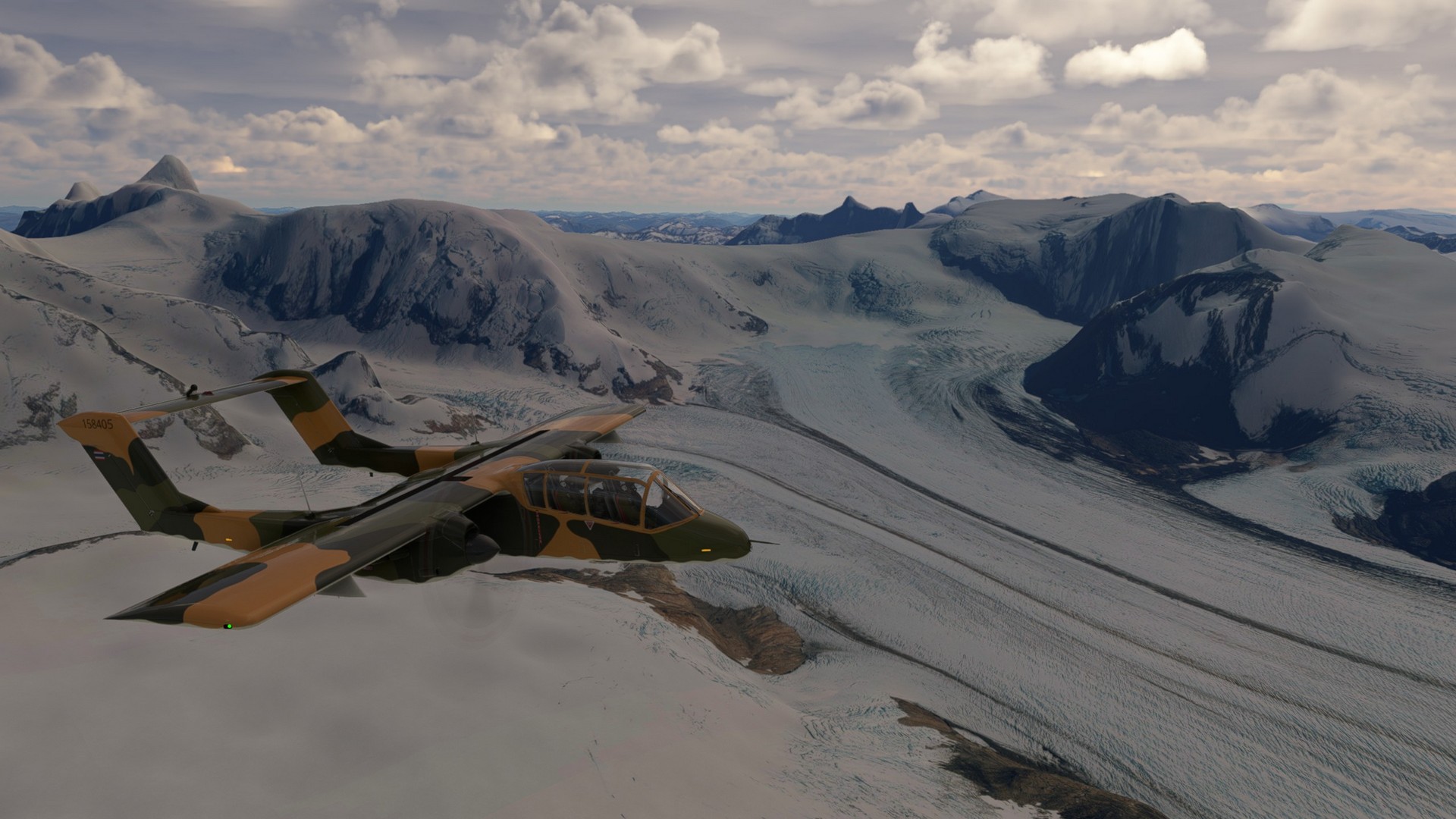
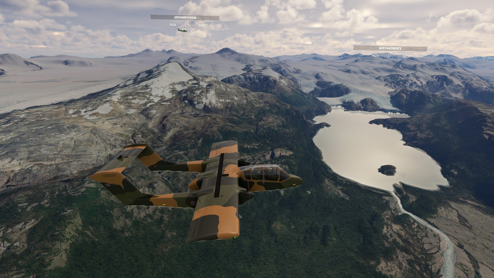
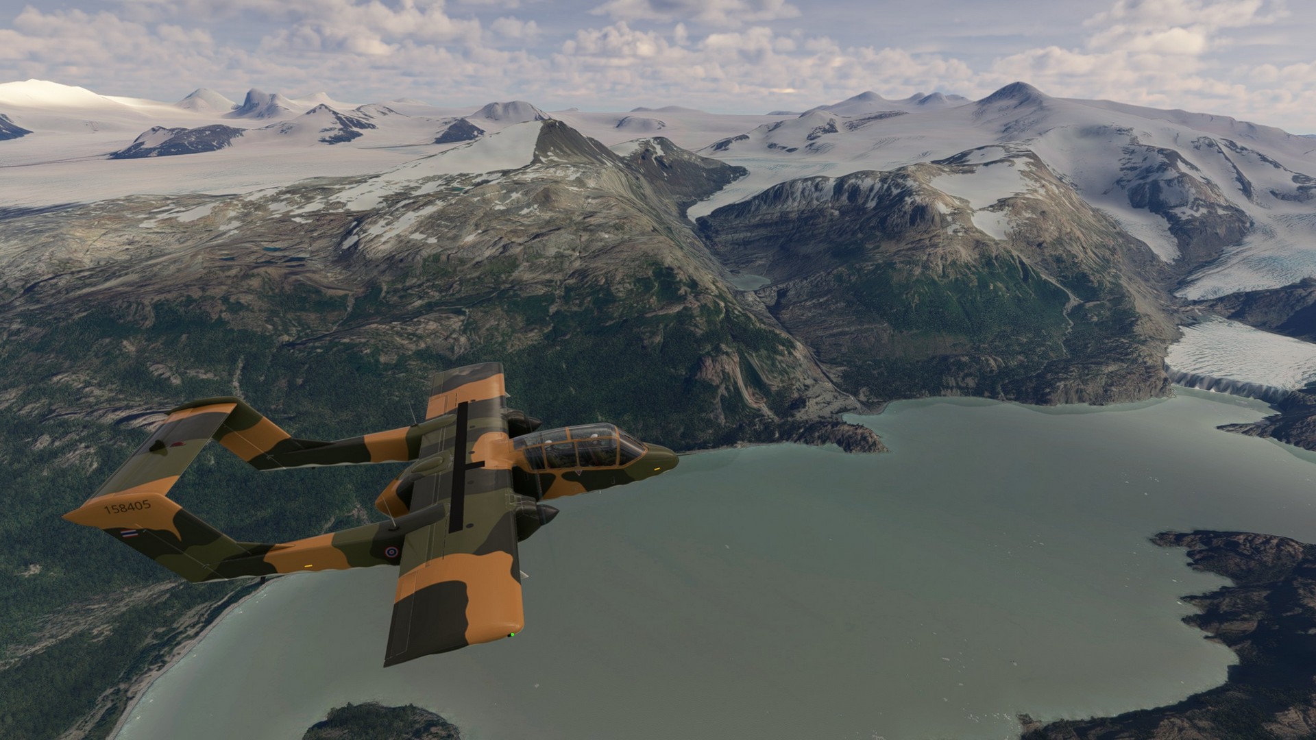
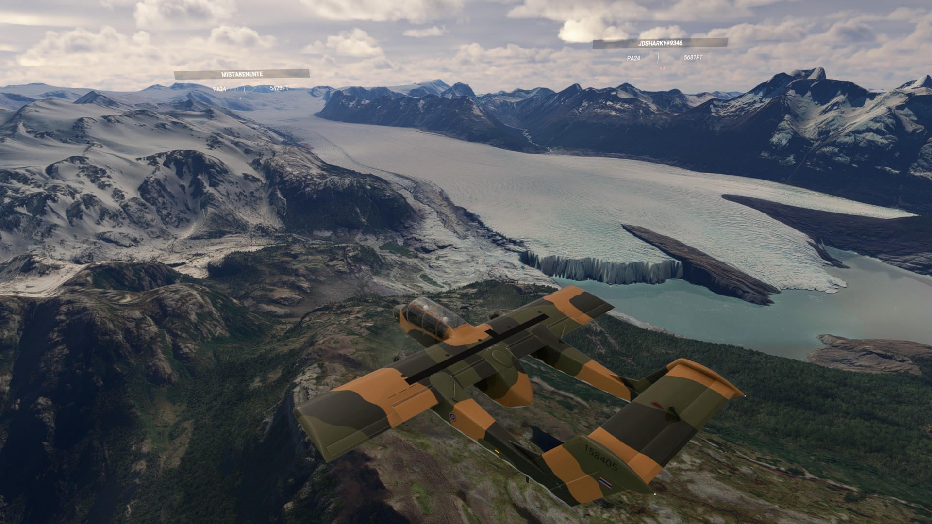
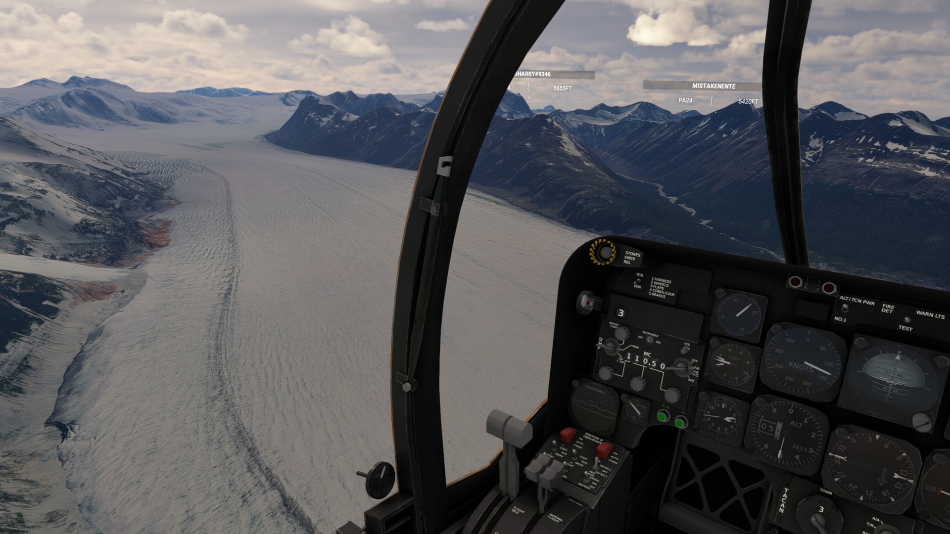
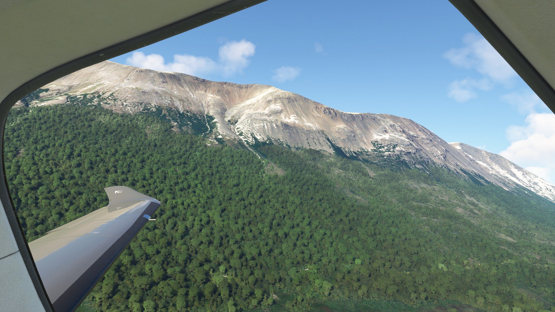
Snow and ice where our companions for this flight. Any form of ice was served from ice floes to glaciers to white peaks glistening in the sun. We really enjoyed this trip following rivers and valleys with the towering mountains above us.
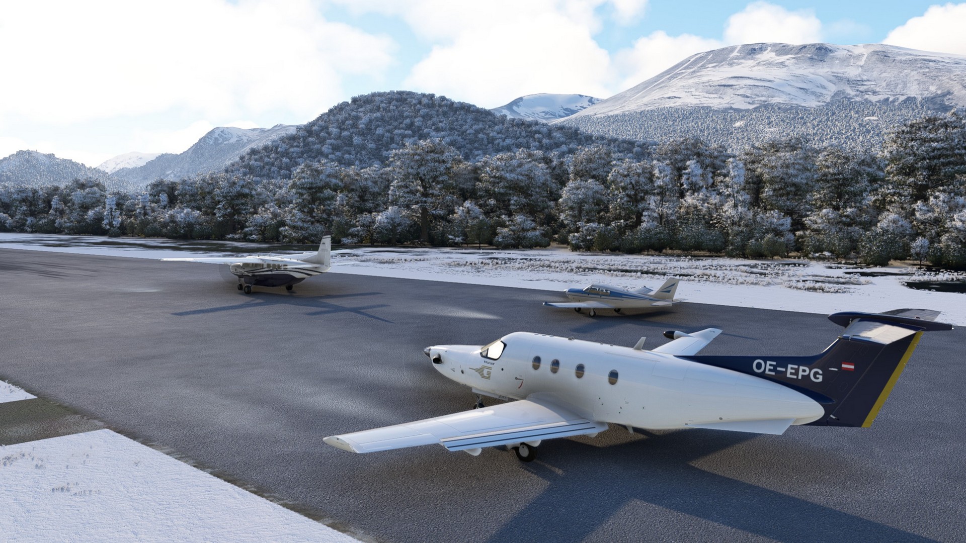
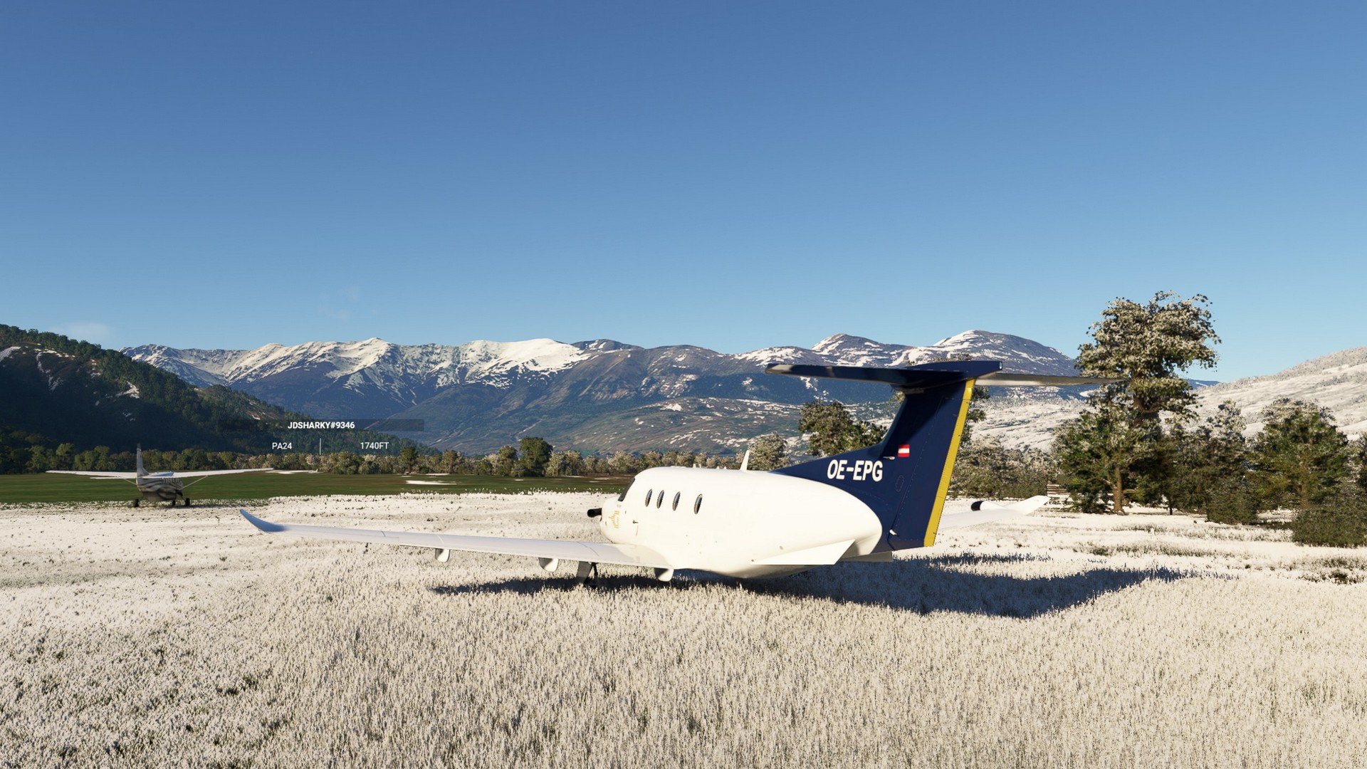
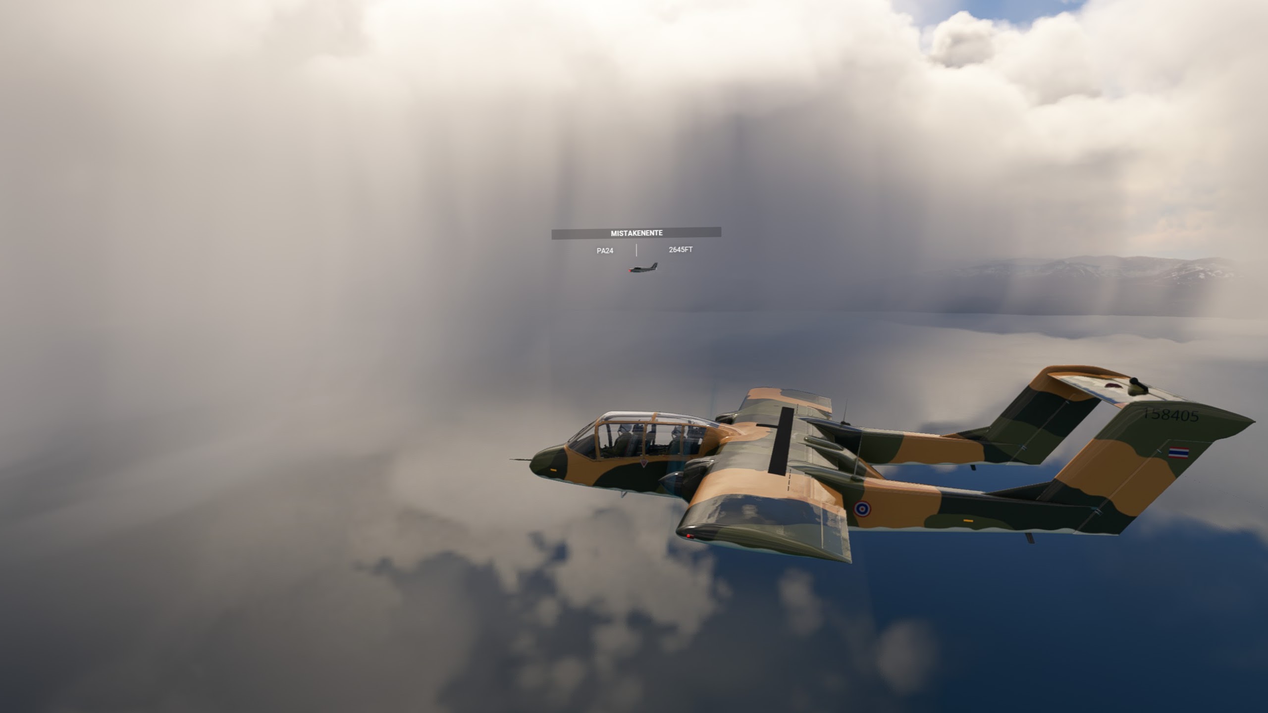
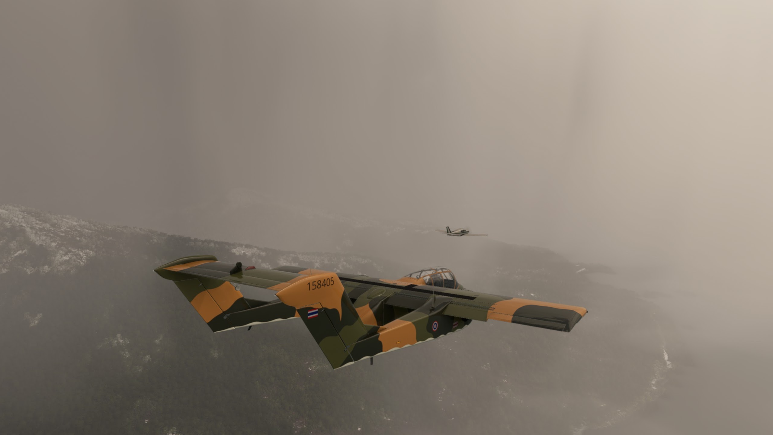
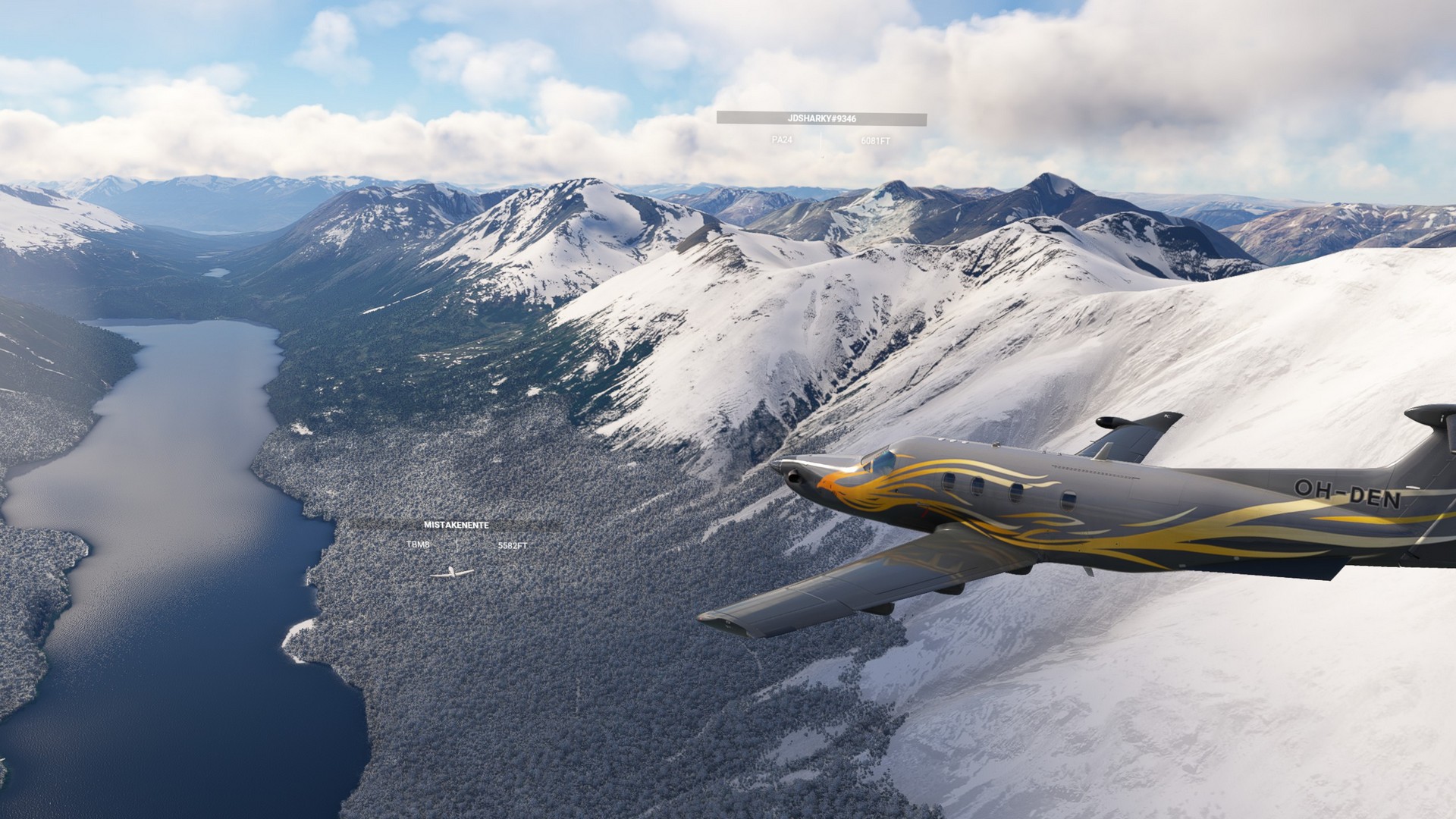
The airports were a bit harder to find on this leg, most of them being grass strips covered by snow. But not as near a challenge to land on as on the last leg. The time flew by literally and after an hour we had covered already 3 legs of the trip and decided to call it a night.