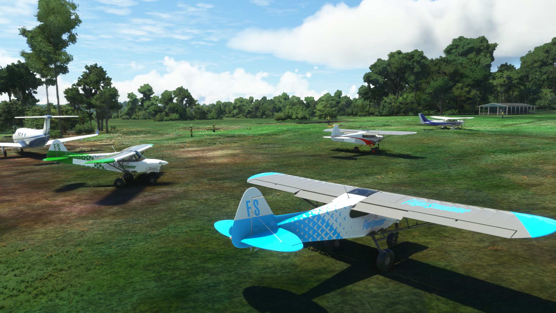
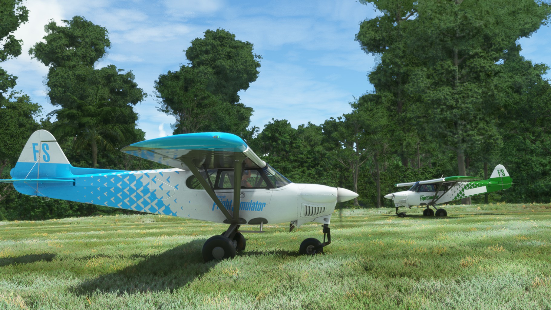
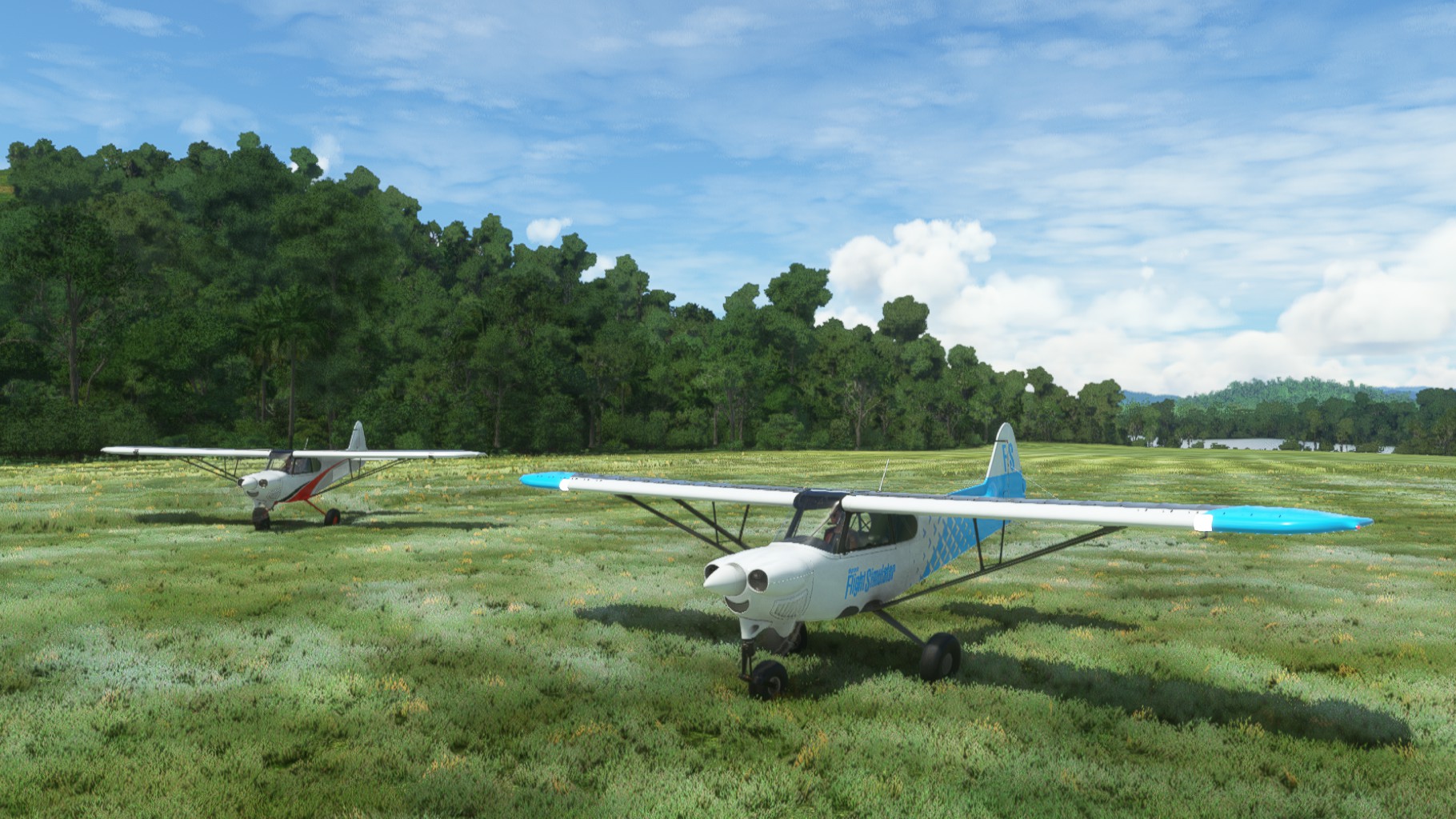
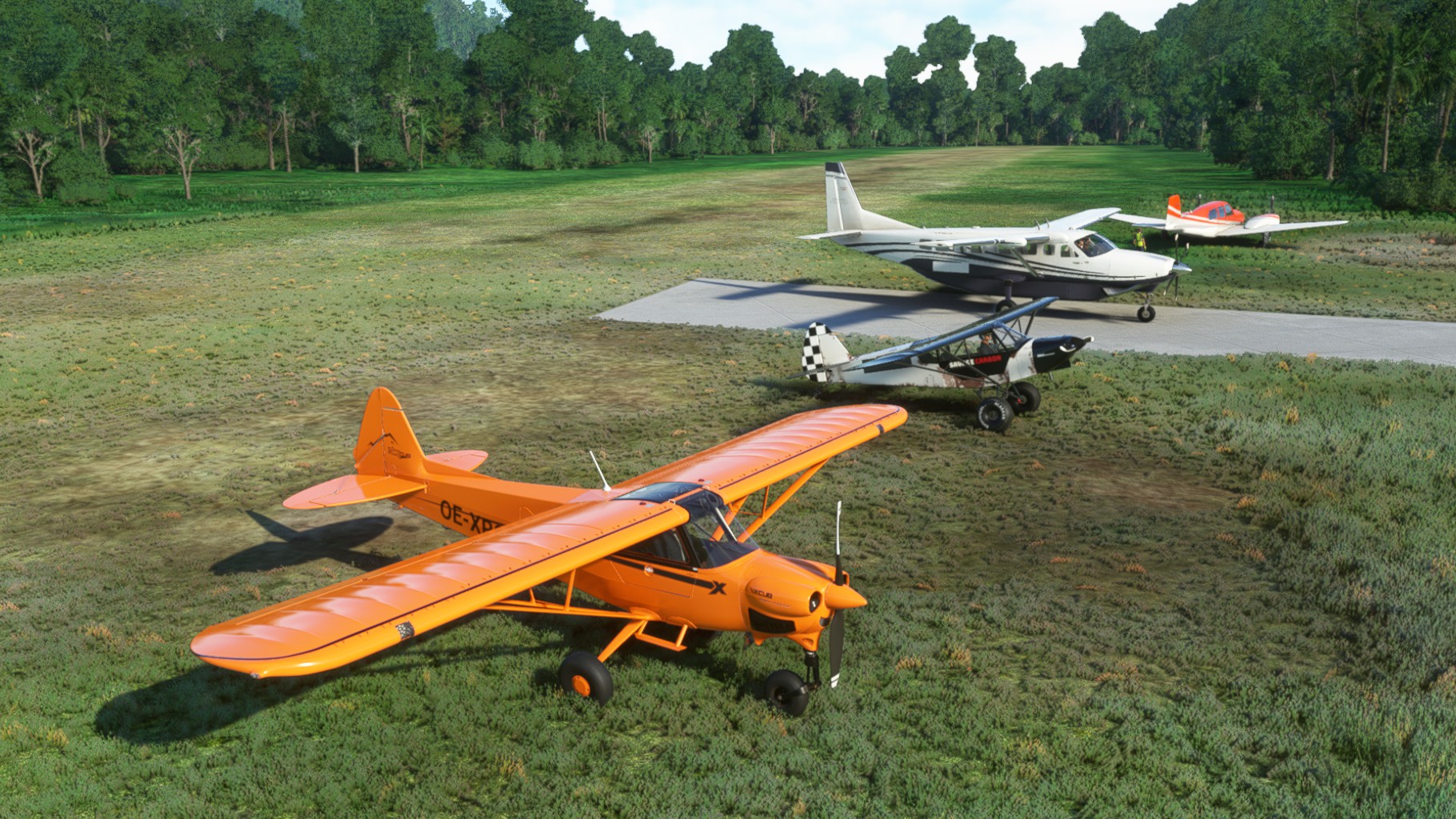
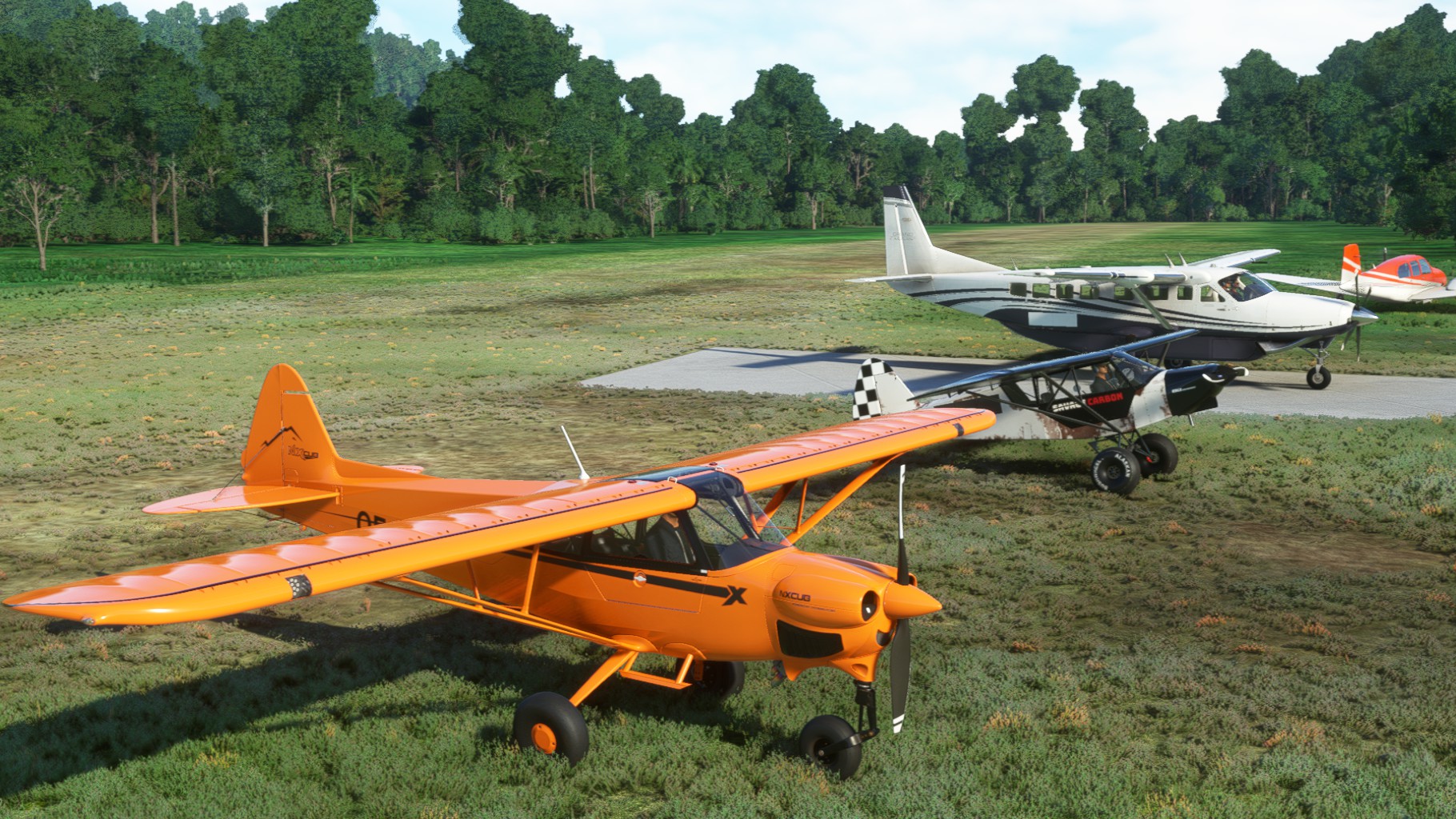
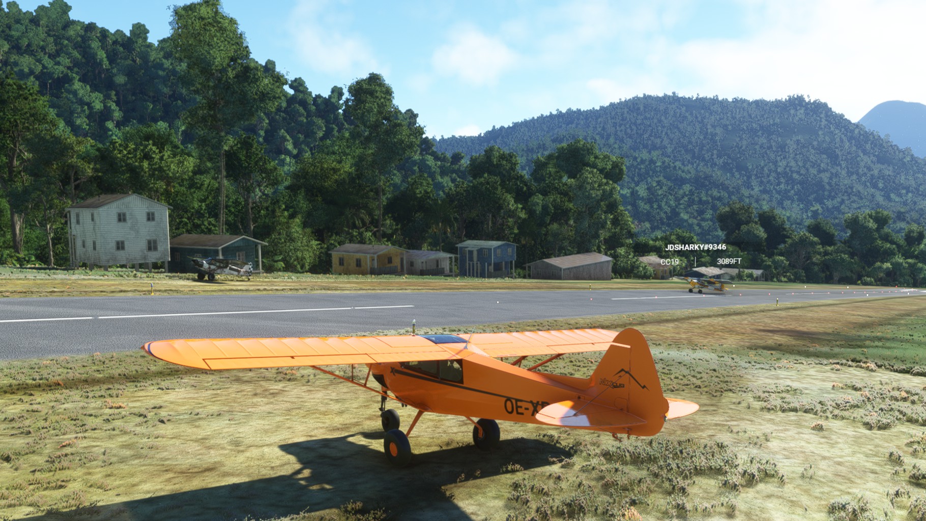
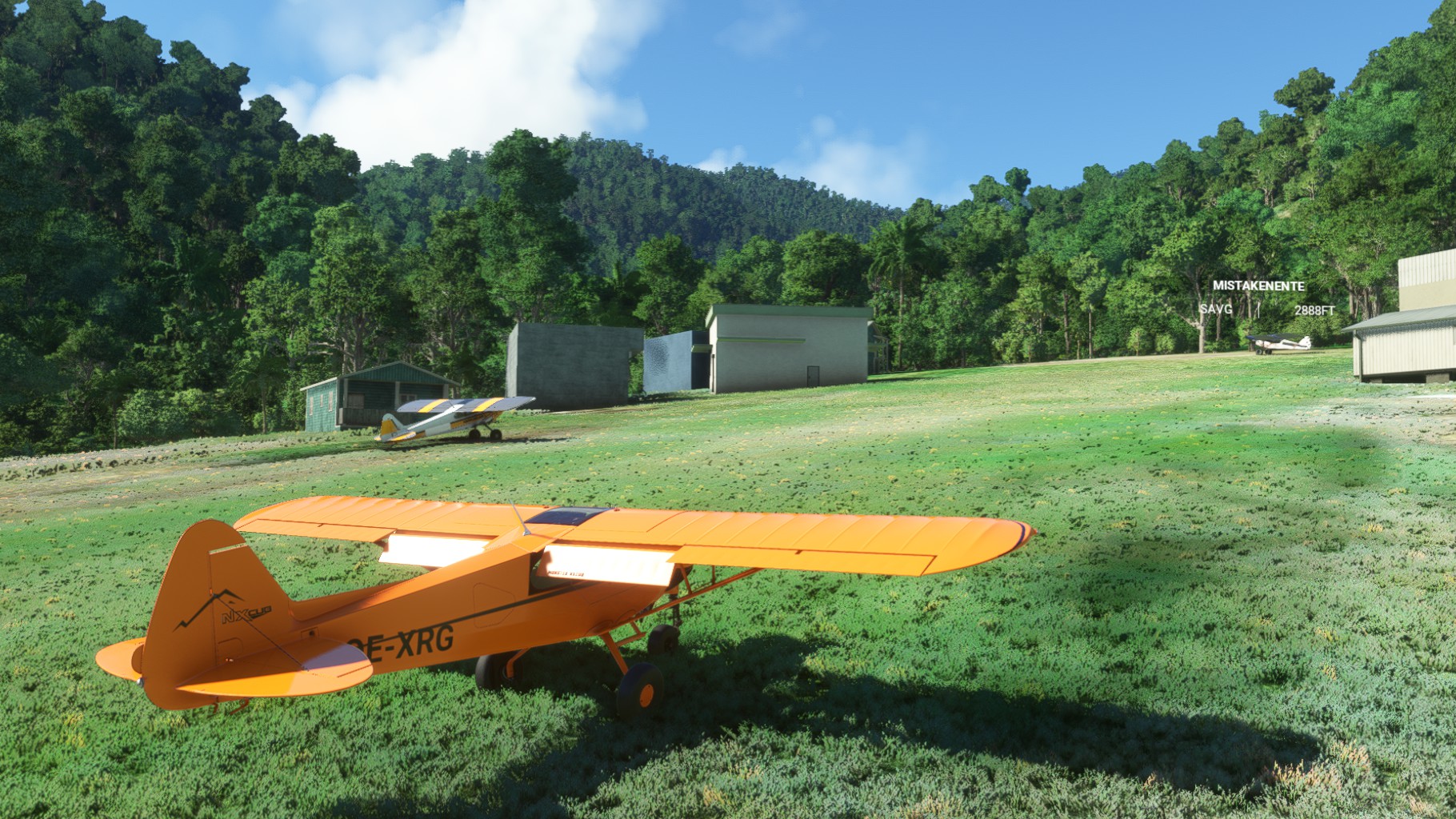
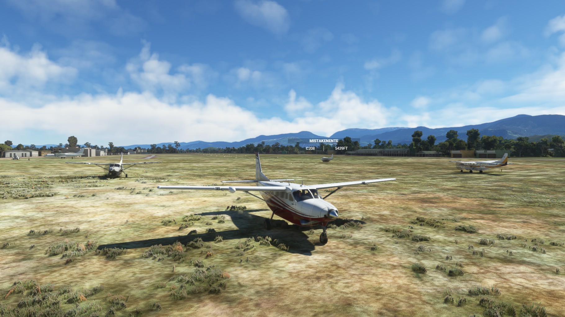
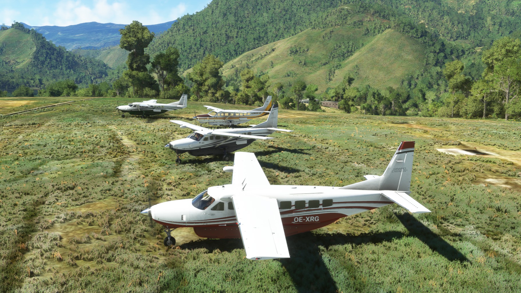
Leg 1 & 2
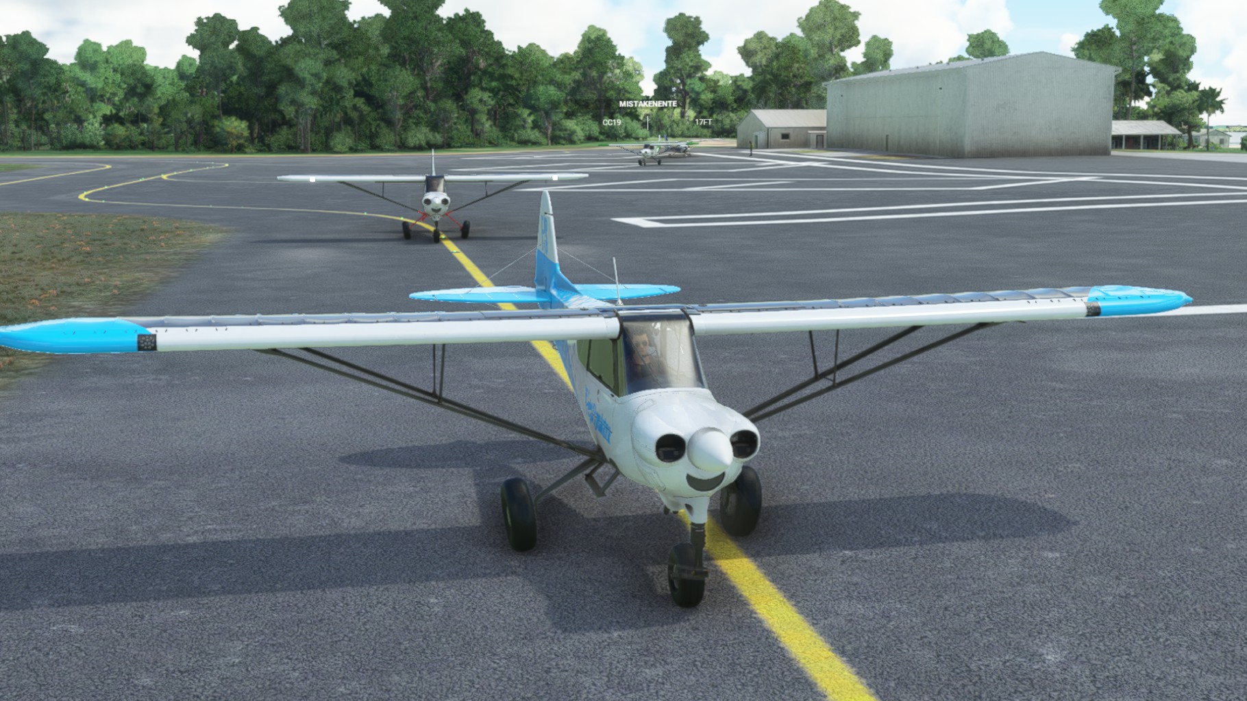
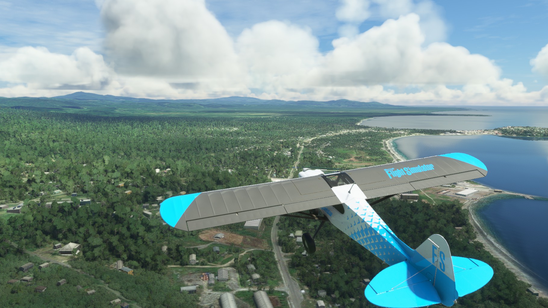
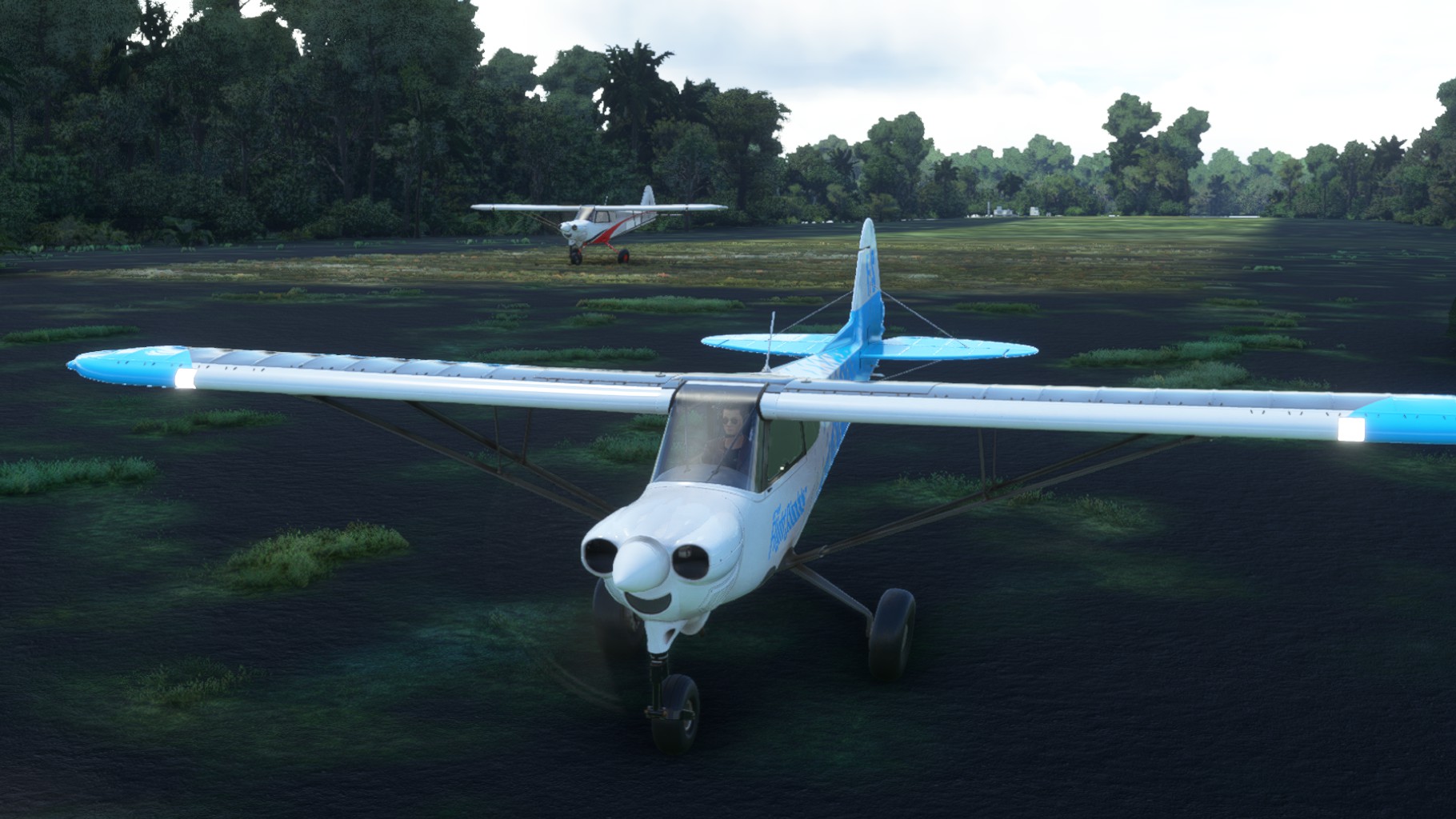
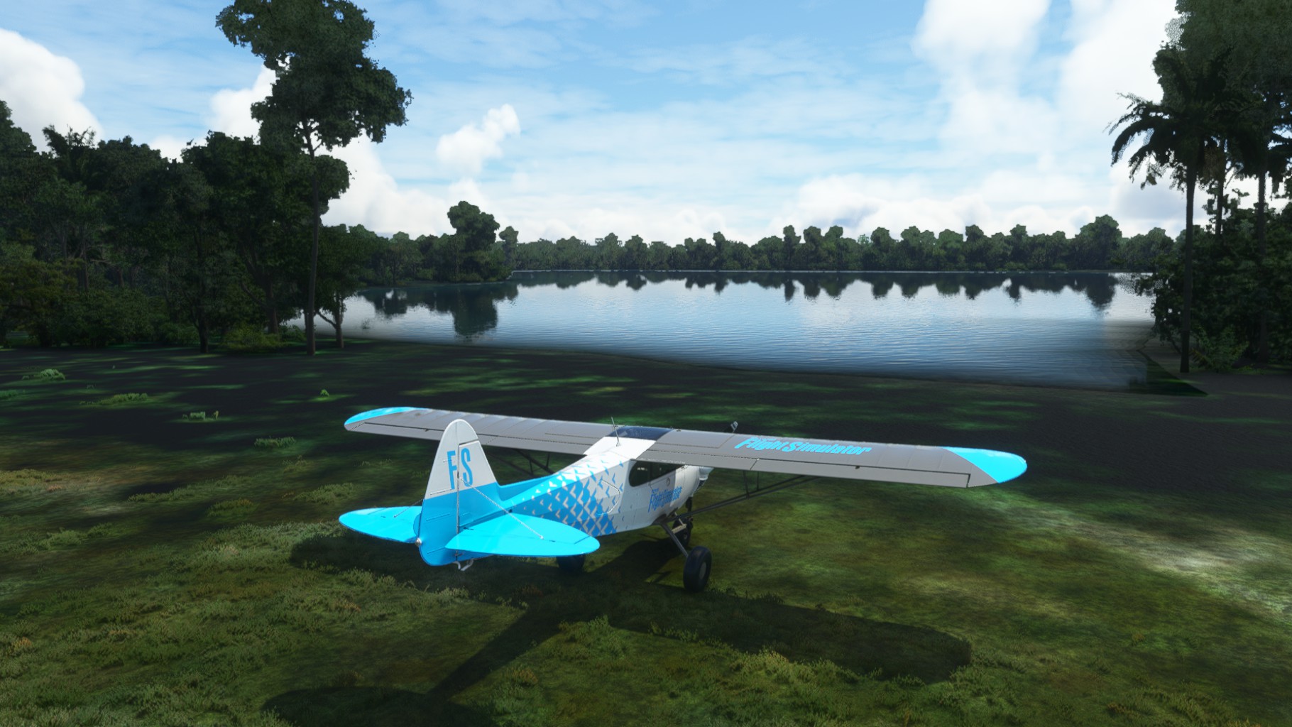
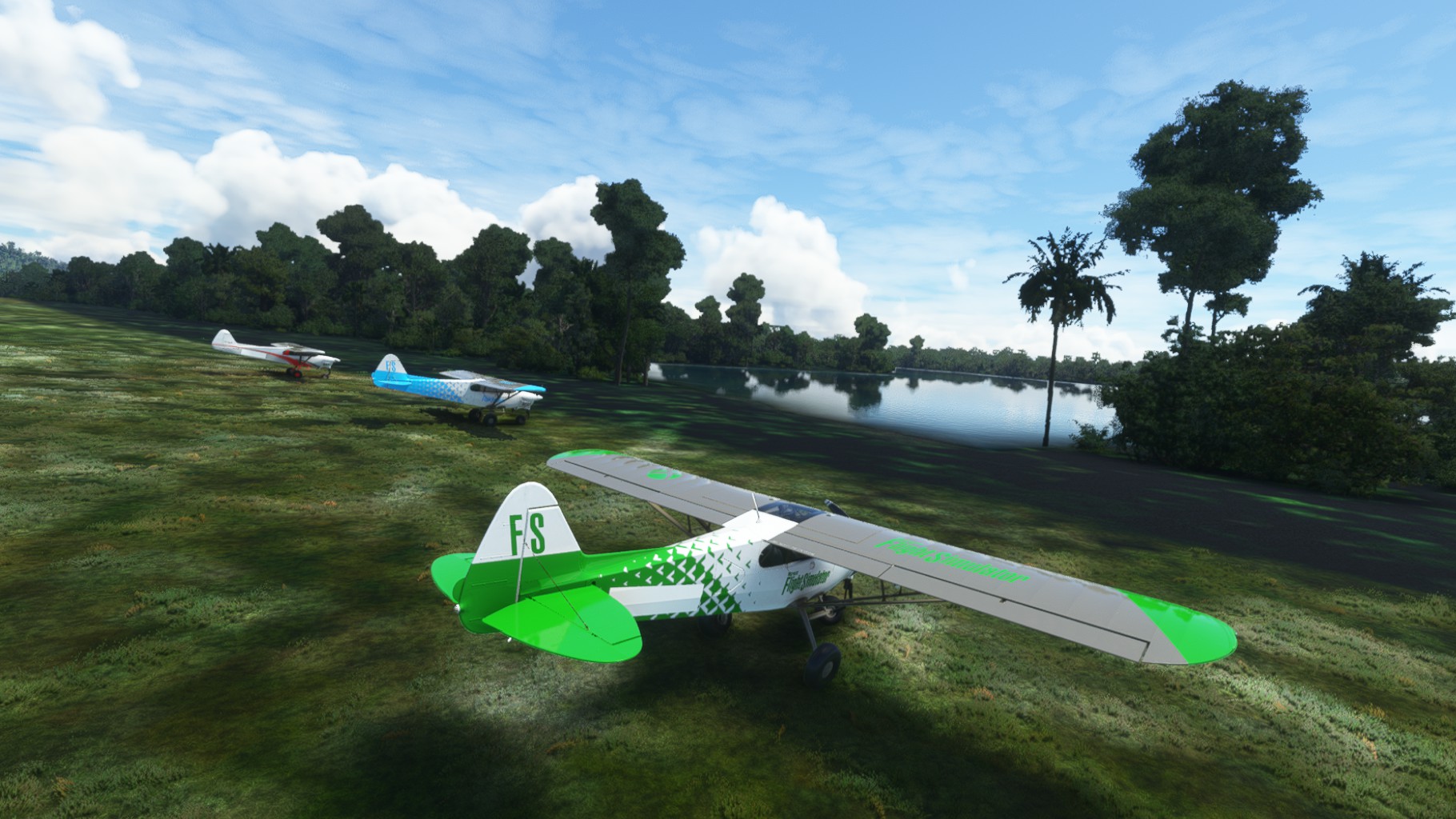
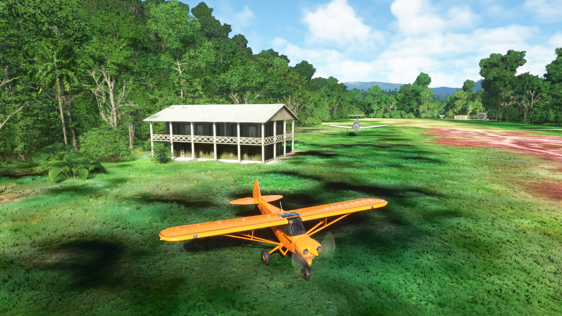
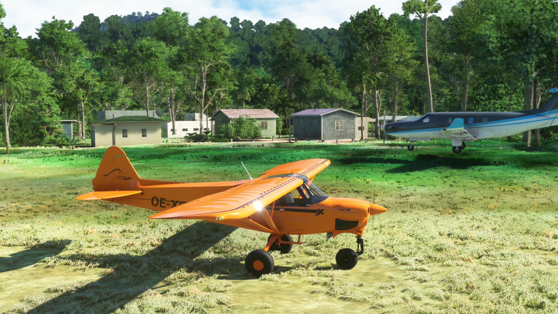
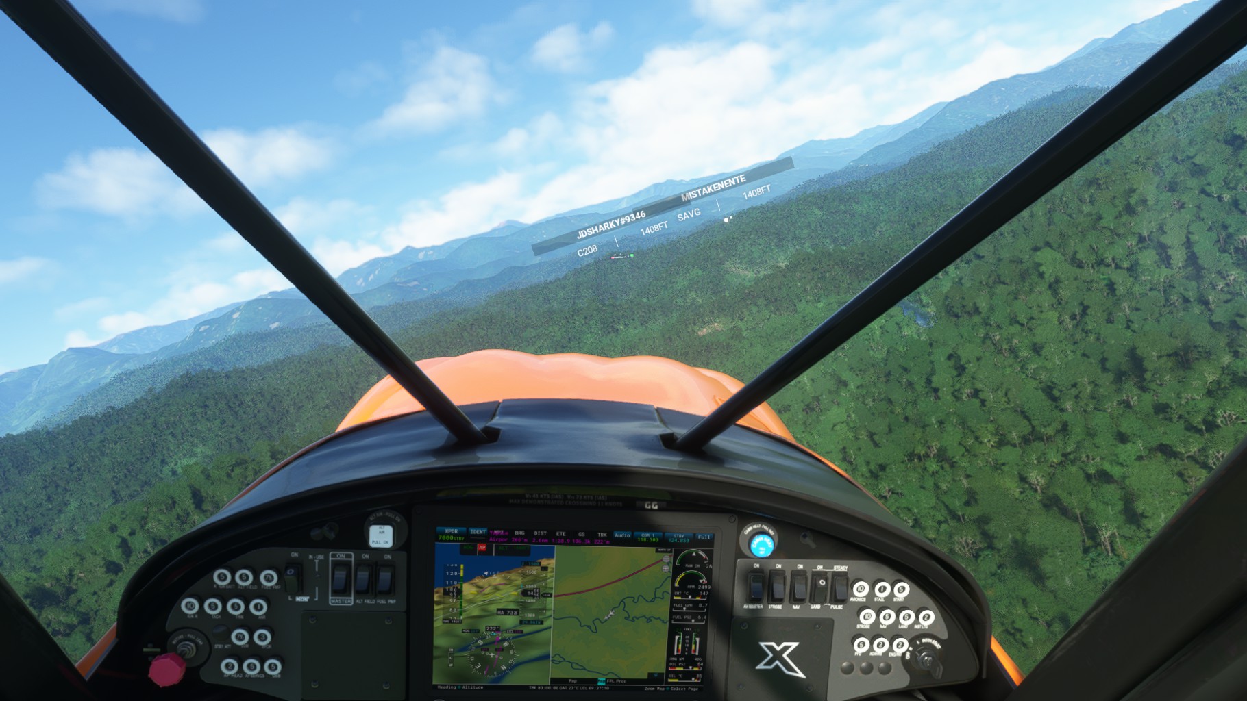
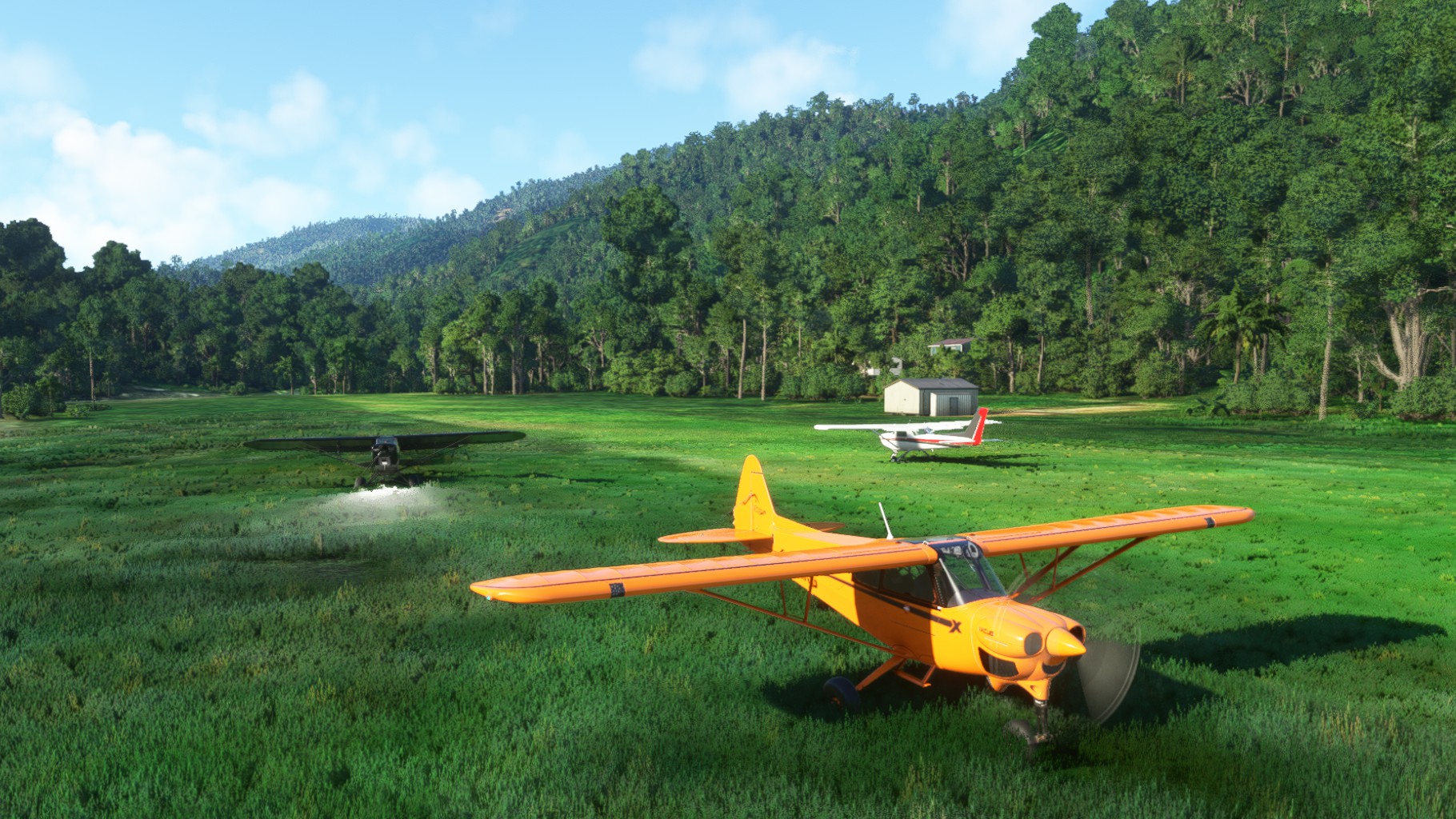
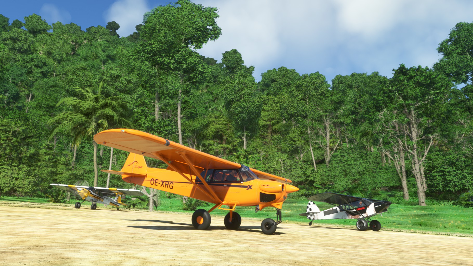
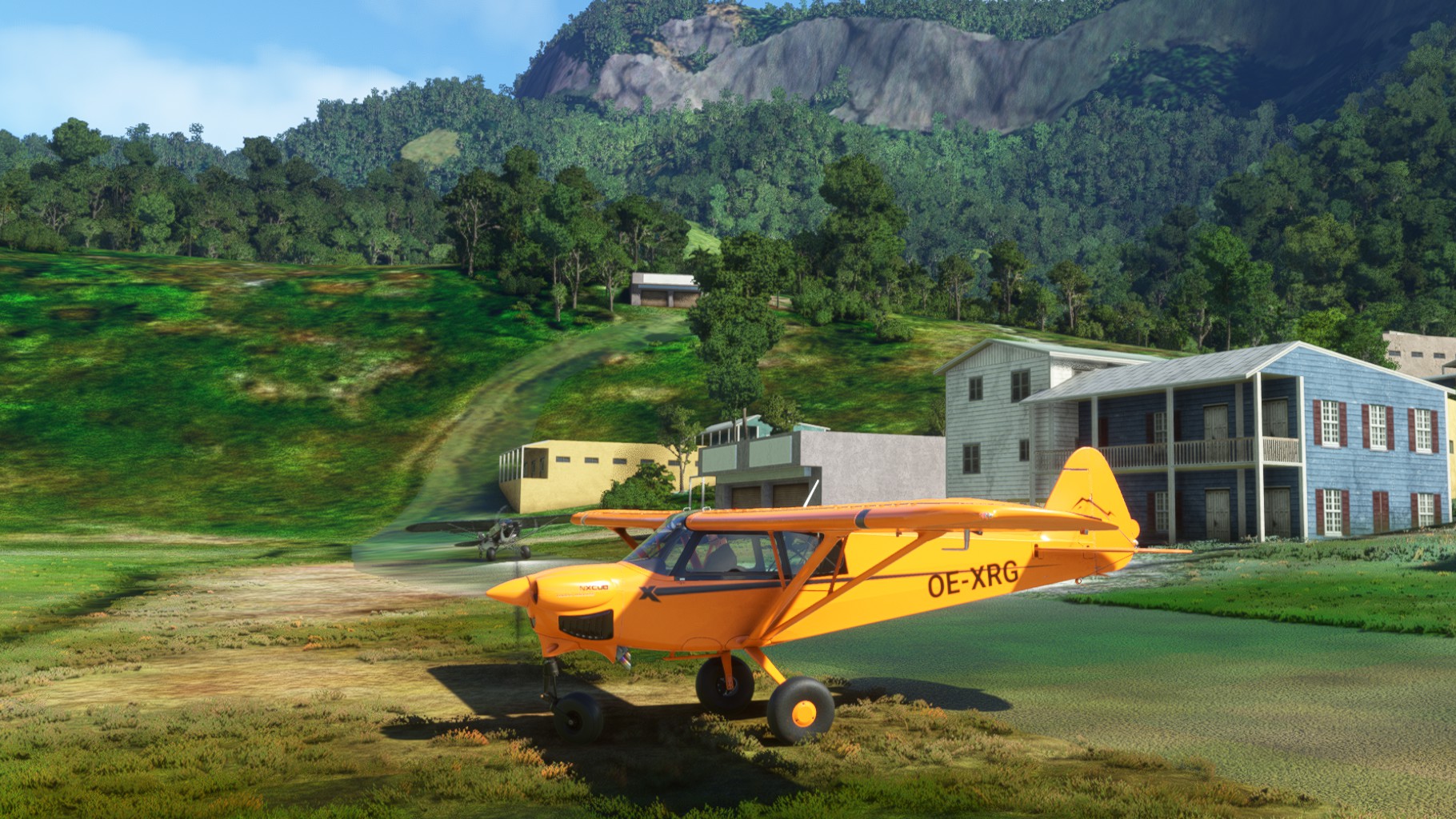
As we enjoyed the NX Cub so much on our last trip, I looked for further flights we could do. We came across the New Guinea Buhstrip in MSFS and used that as a basis. Mario, Chergo and I lined up at Wewak (AYWK) along the north coast. After takeoff we turned south and flew inland to Timbunke (TEB), our first stop. After refueling we took off again and followed the Sepik river west. Over Chambri Lake we made a touch and go at Klimbit and another touch and go into Ambunti. We continued to follow Sepik river until we reached Bowami Mission were we parked right next to the river.
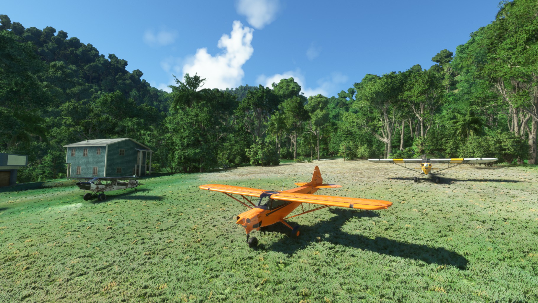
Leg 3
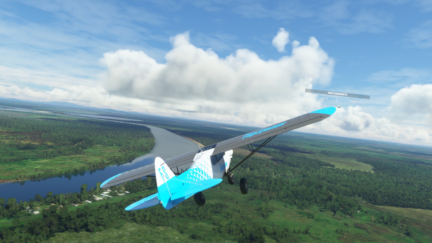
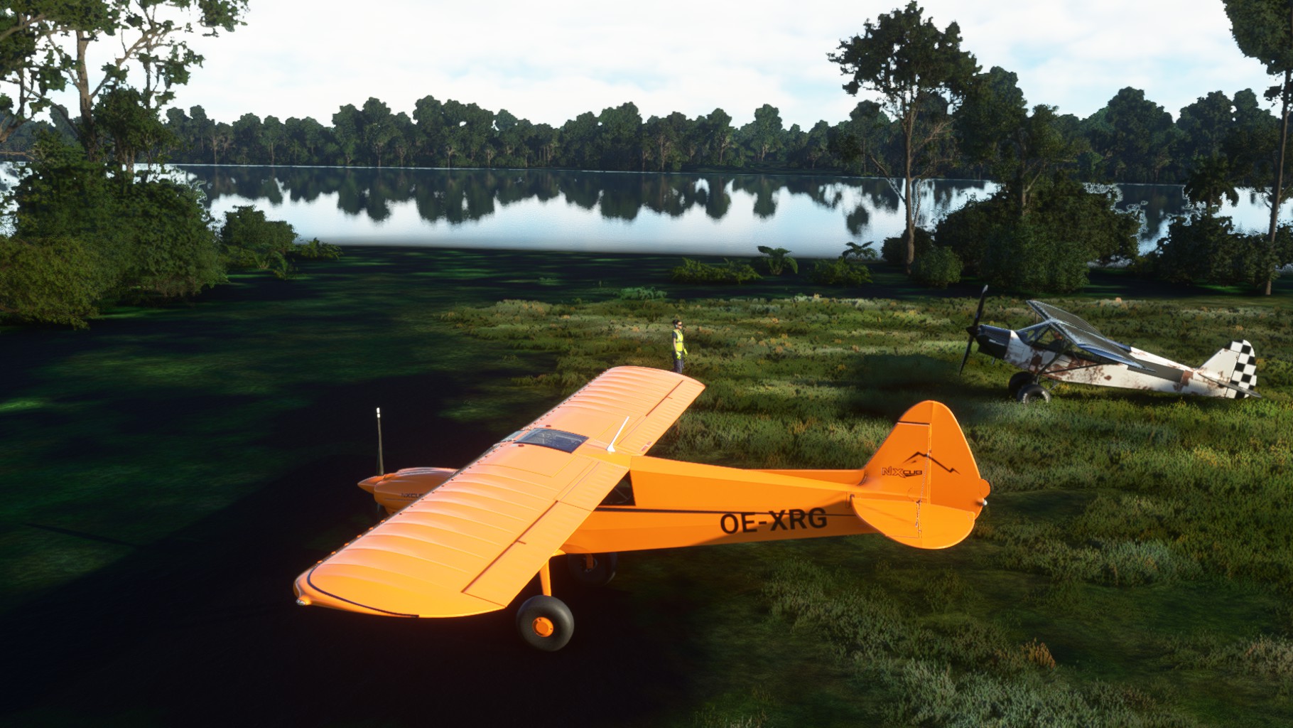
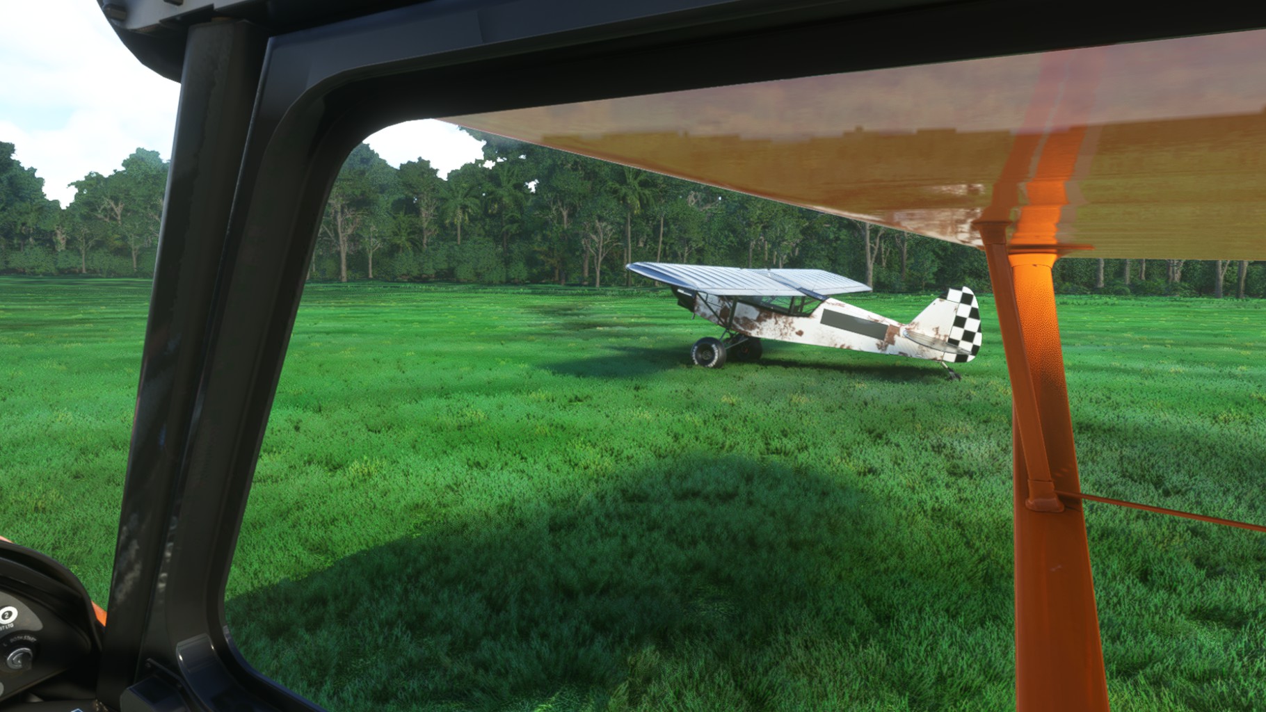
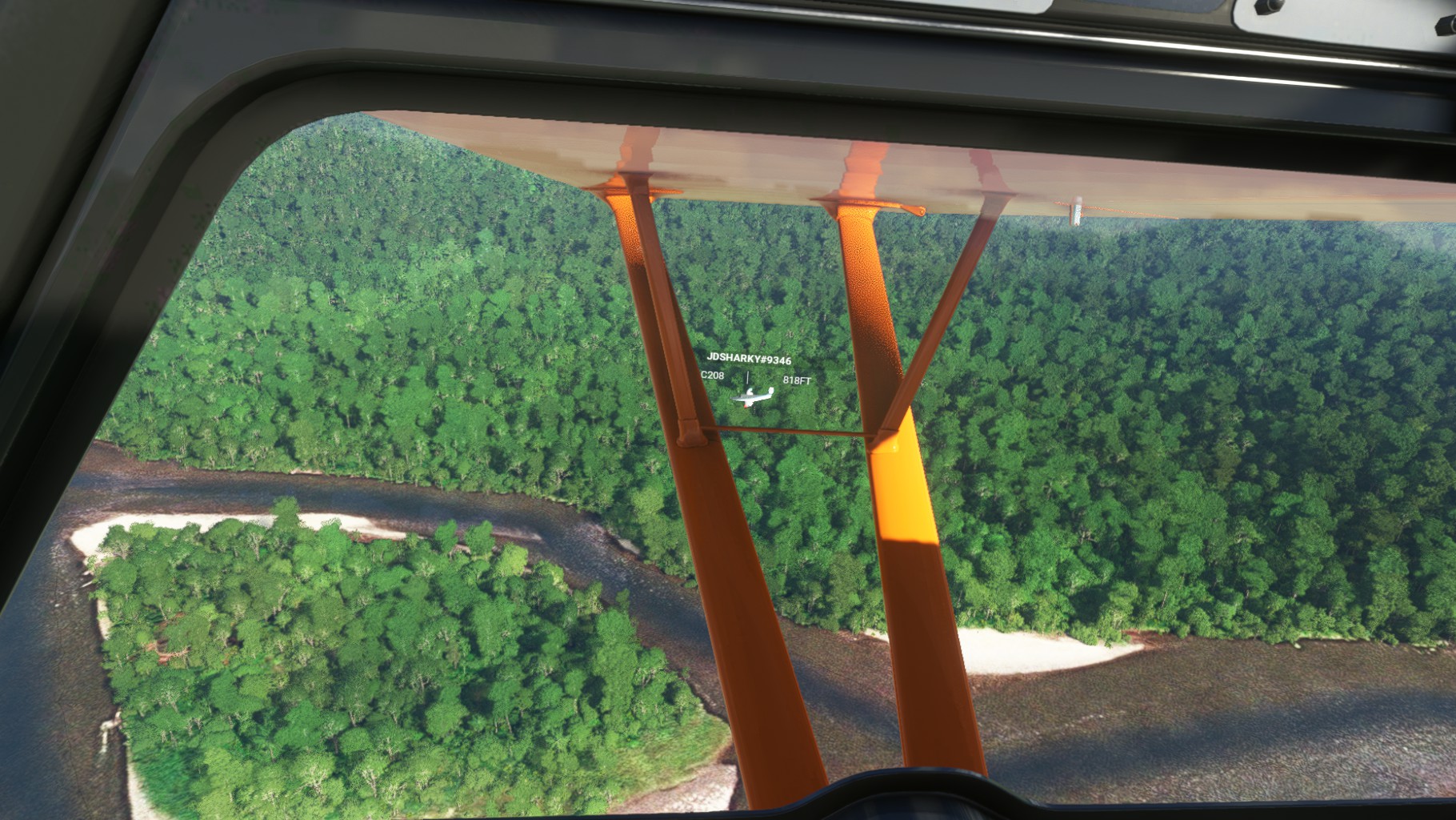
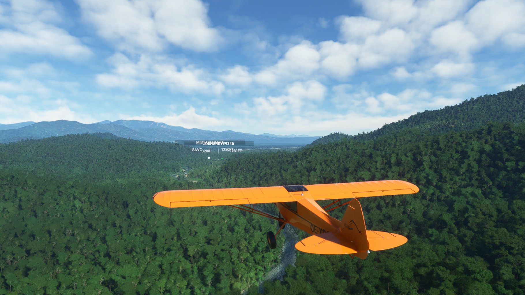
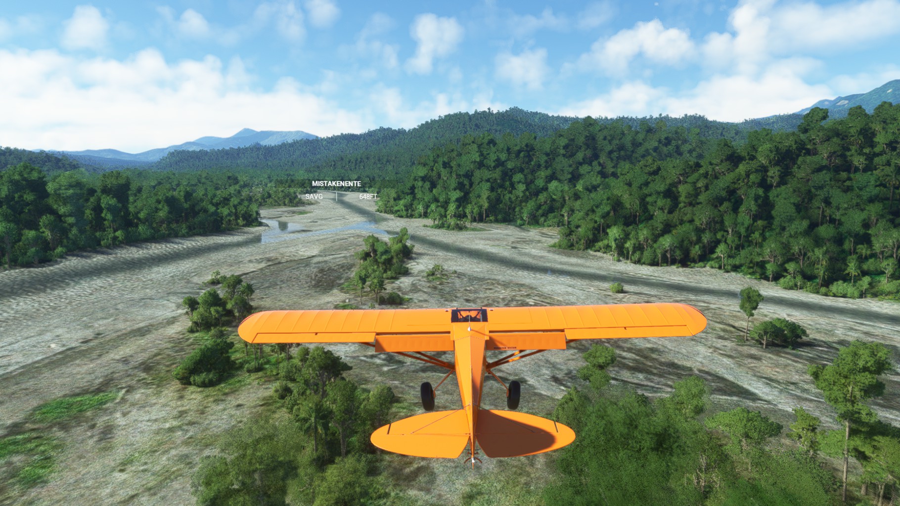
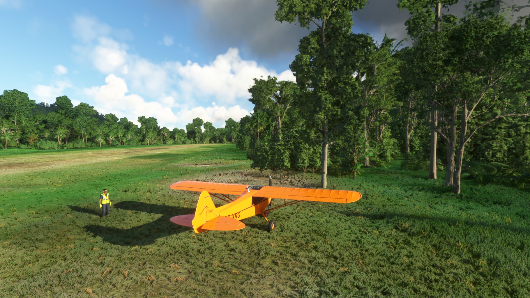
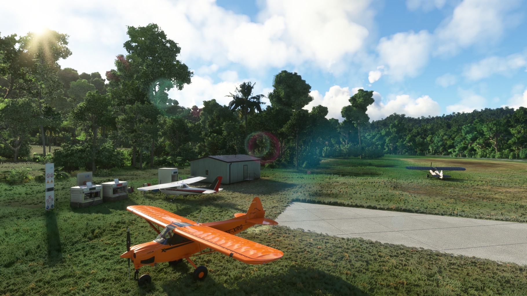
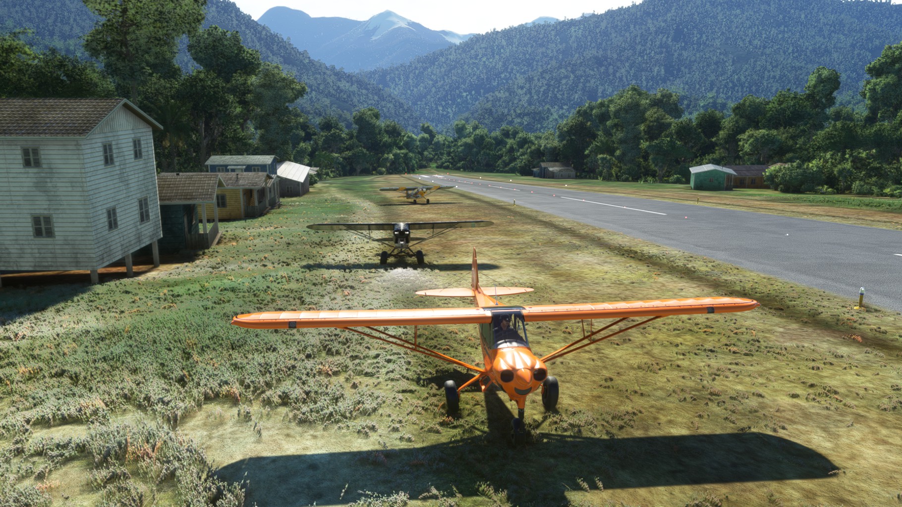
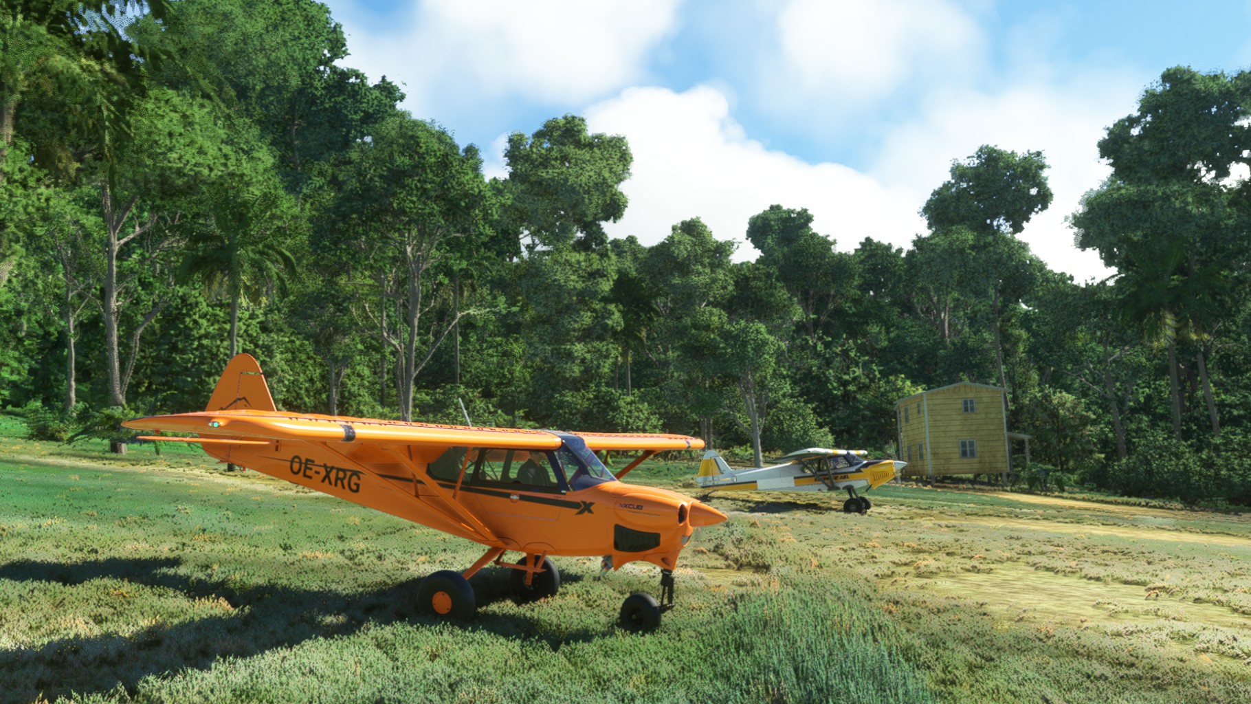
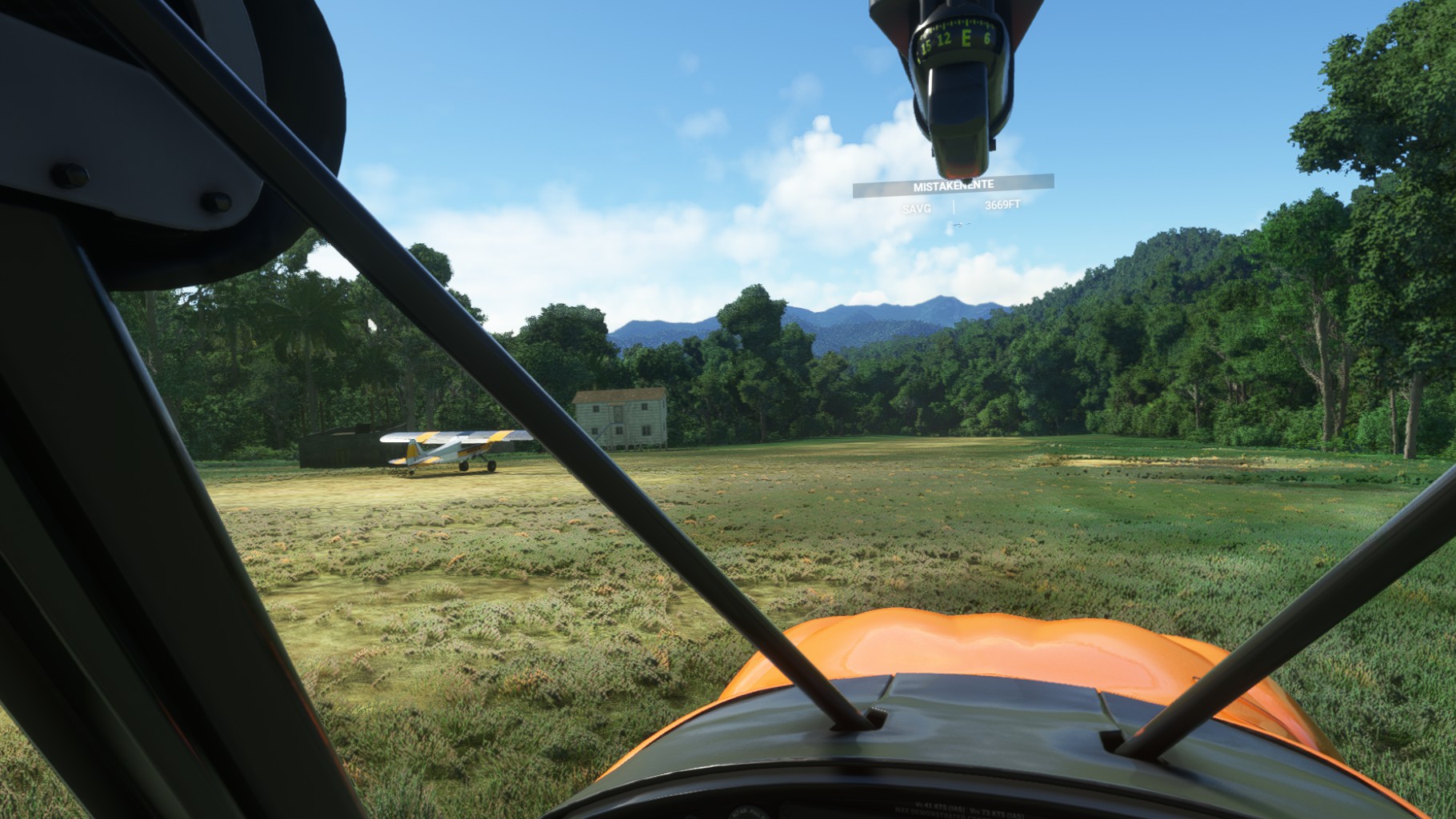
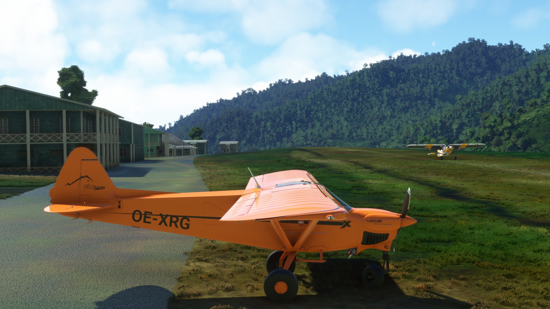
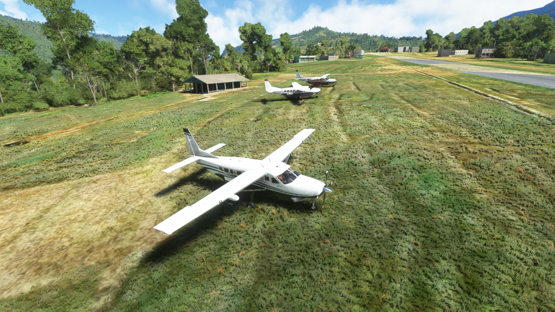
Chergo and Jörg joined in on this one. We started out of Hauna Airstrip and followed Sepik river for a bit then turned South to follow the smaller May River. May River Airport was the first stop and was surrounded by trees as usual for these strips. I think I scrapped a tree top on the landing. A quick checkup revealed no major damage and we continued on.
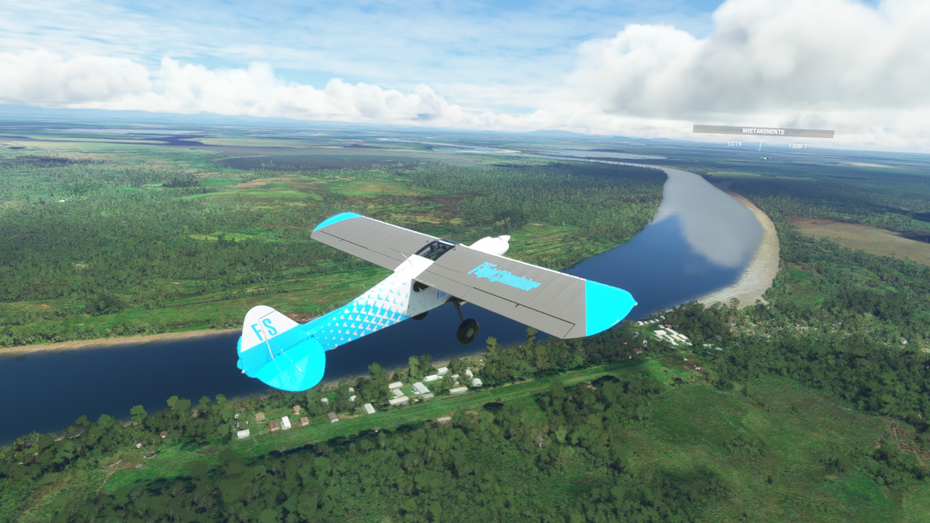
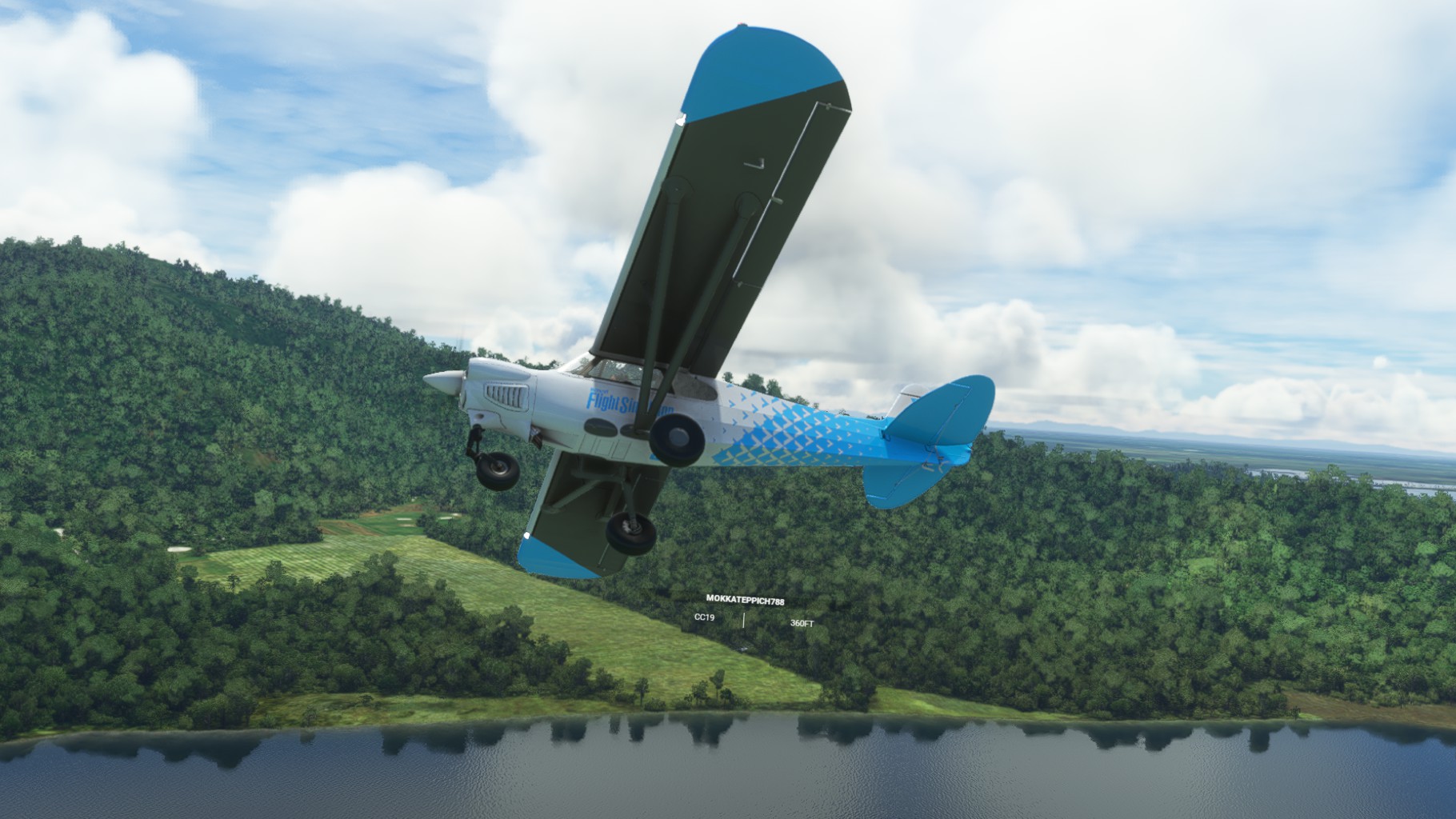
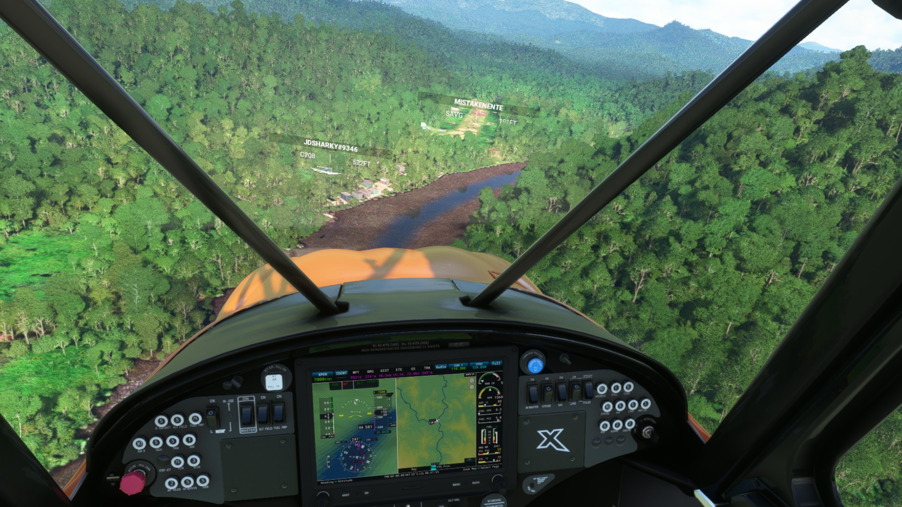
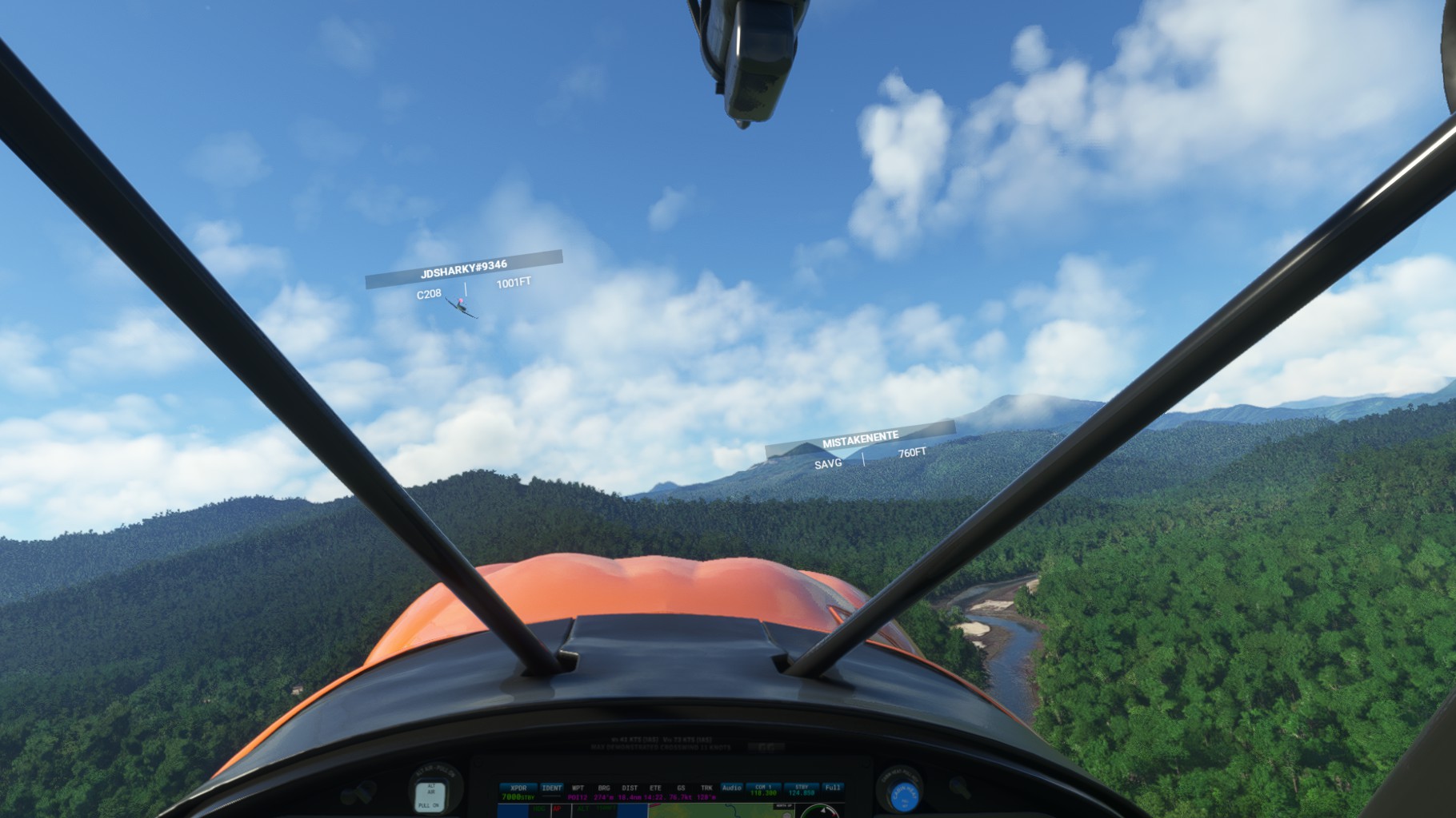
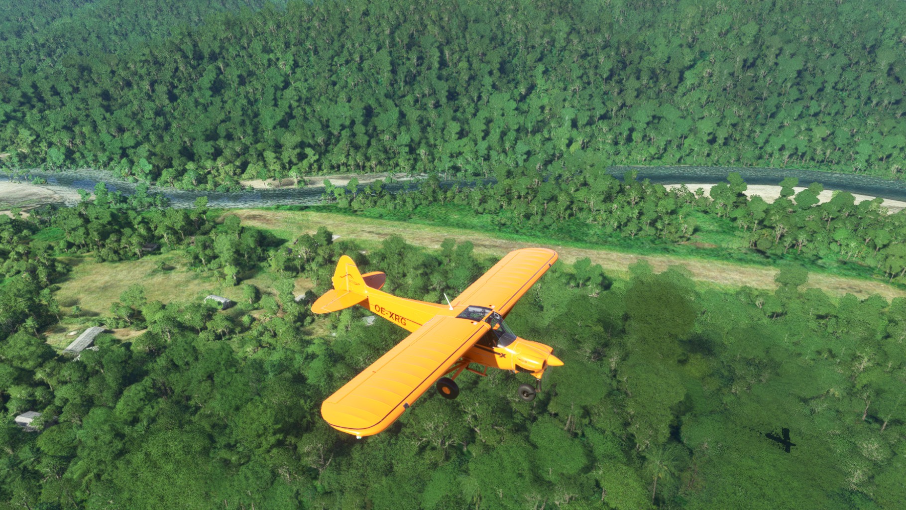
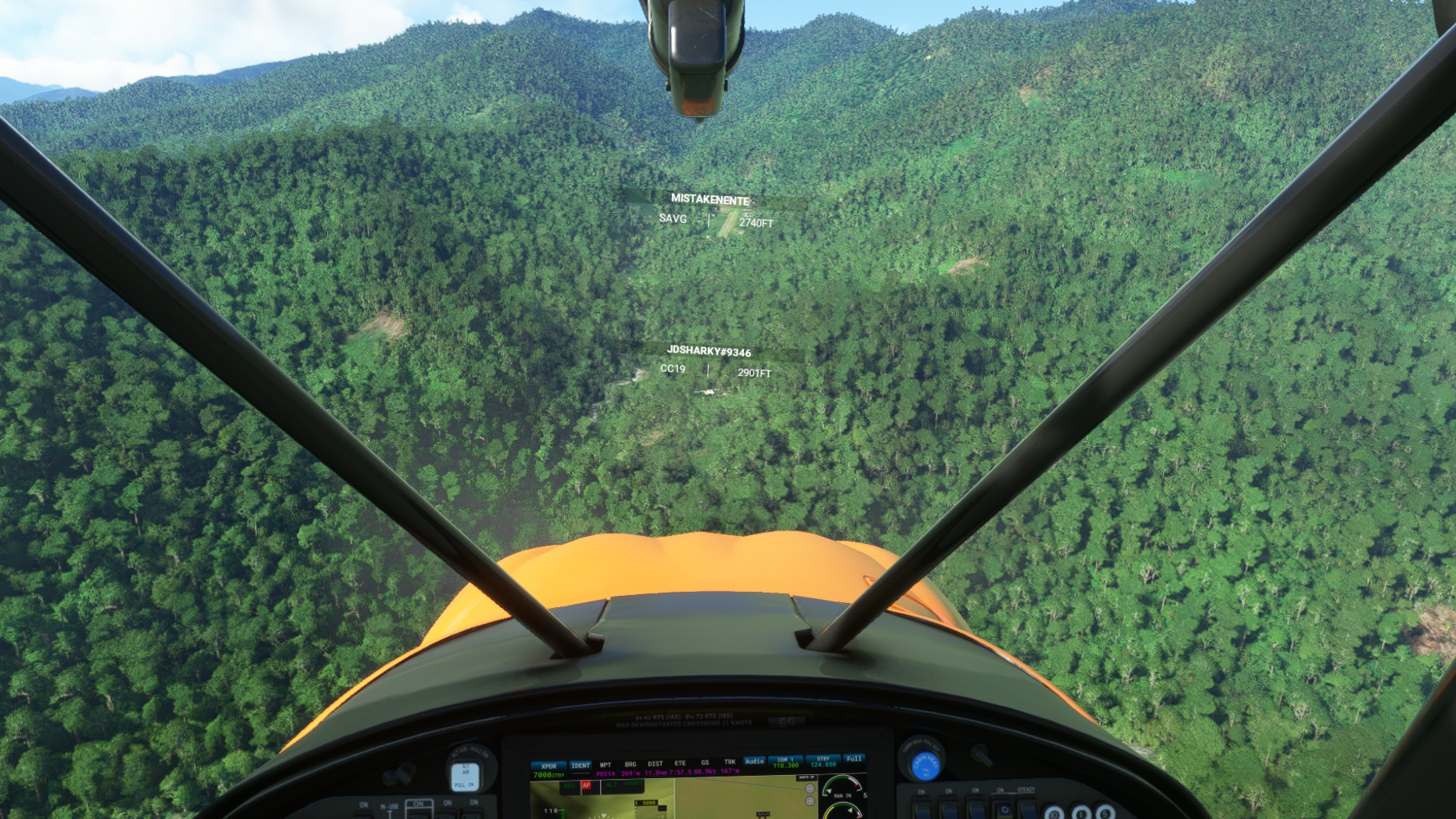
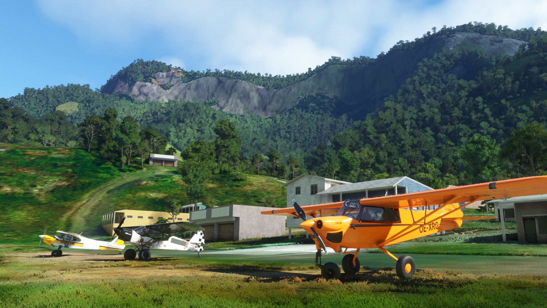
Next up was Hotmin Airport, still along the May River. Jörg had to fight the Caravan a bit on these short grass fields, usually having runways shorter than 500m. After a quick turnaround we were up again and followed May River further South. A quick touch and go at Fiyak Airport and we headed for the mountains. While Jörgs Caravan and Chergo Monster Cub had no issues getting over the ridge to the valley leading to Yapsei Airport, my NXCub struggled a bit to reach the desired height. I just grazed the top of the trees while going over.
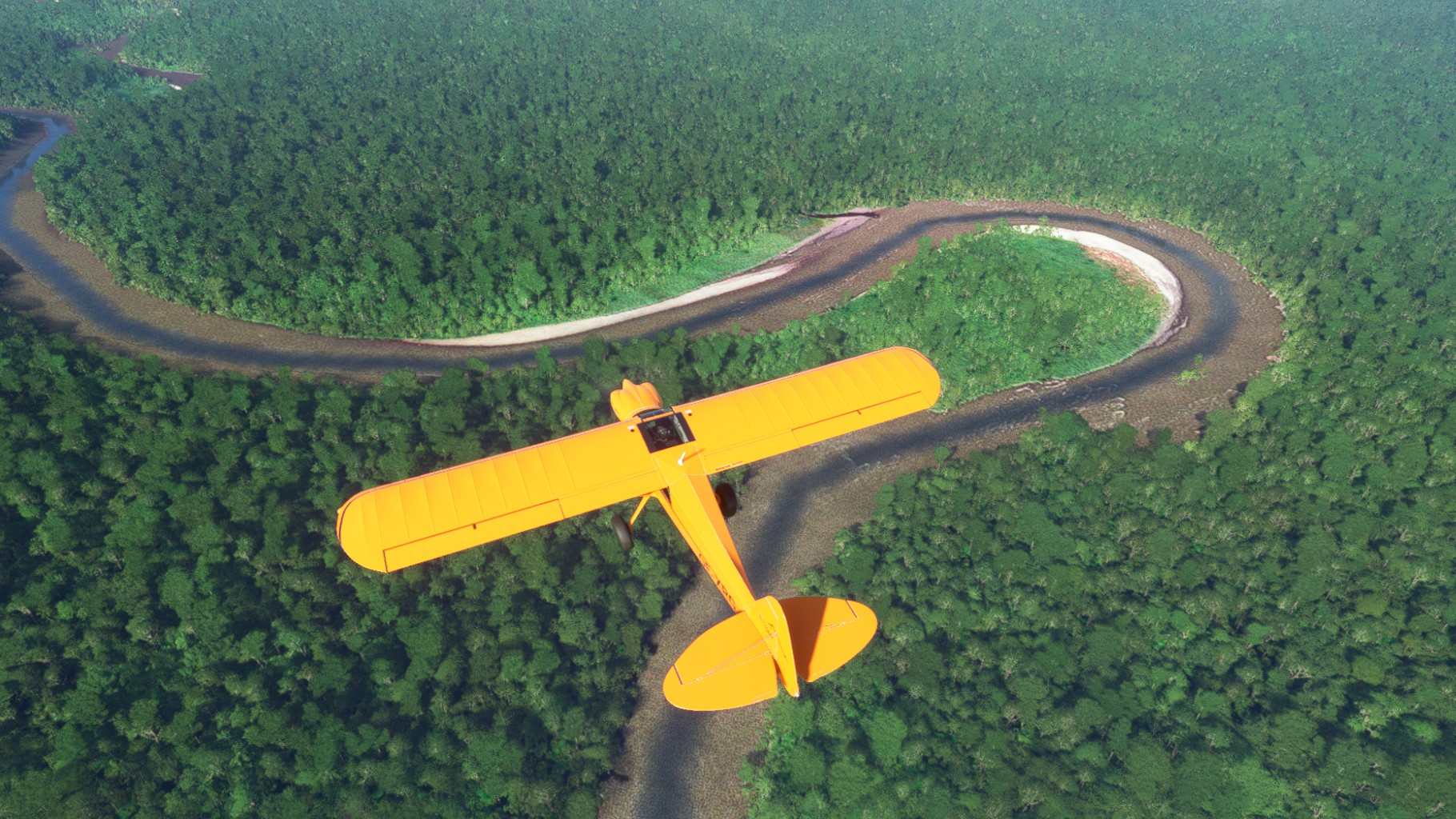
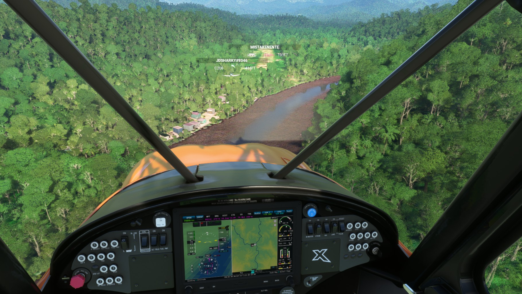
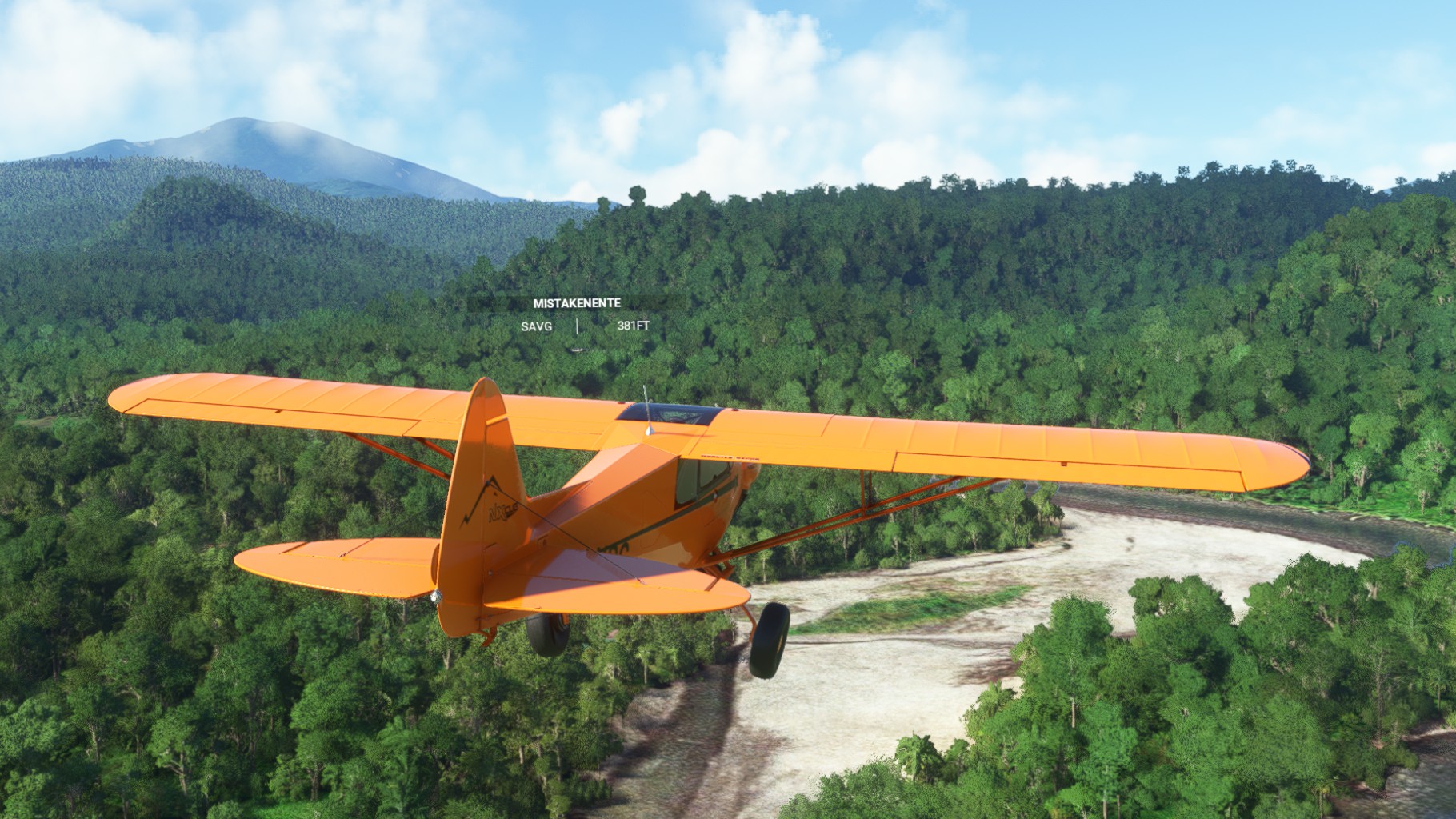
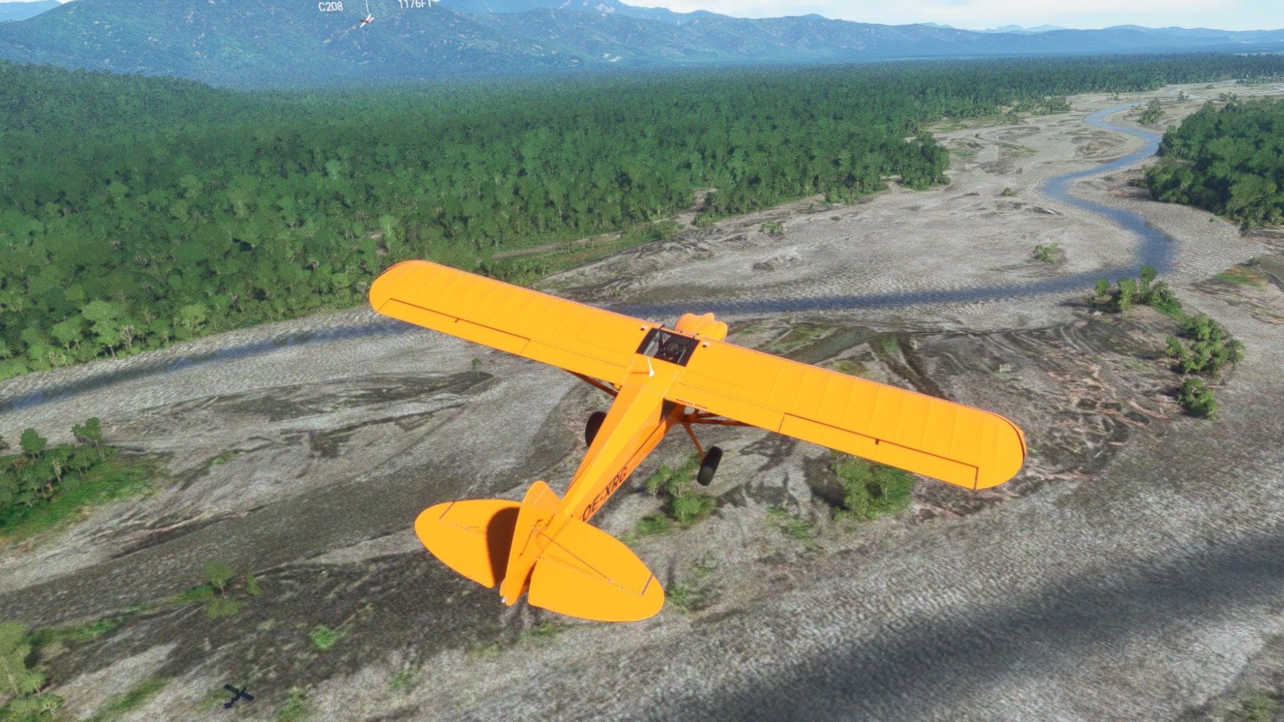
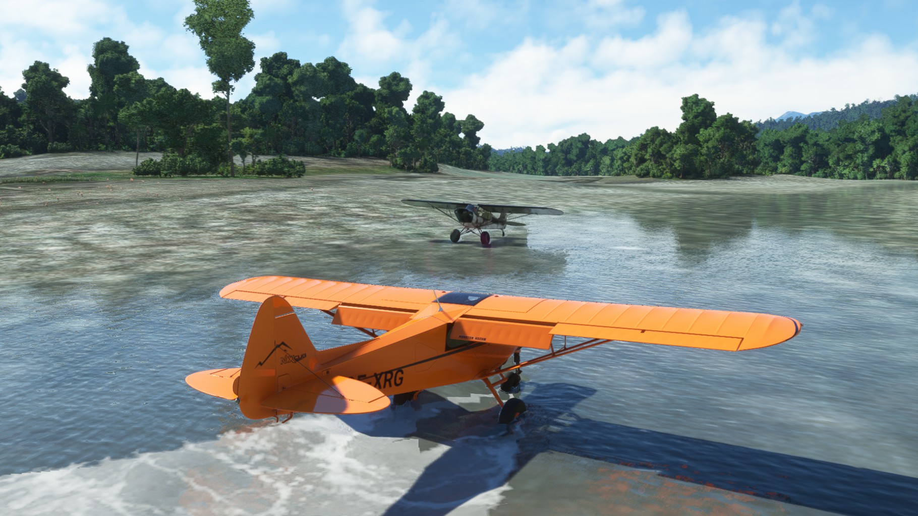
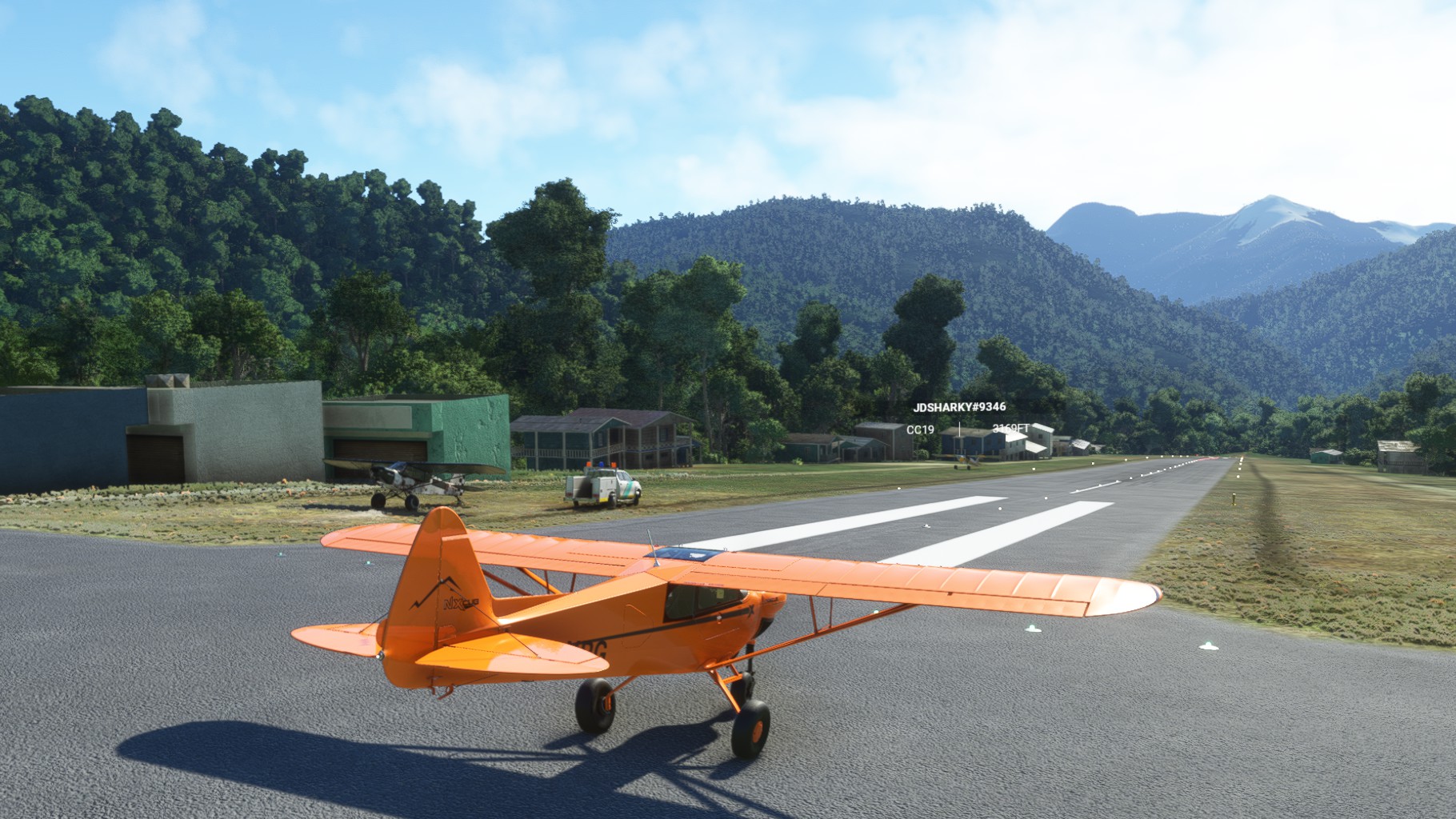
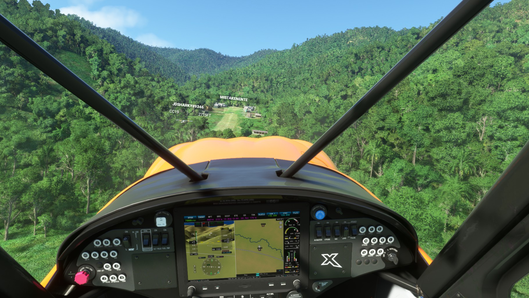
We took a good look at Yapsei Airport on arrival, but made a slight detour down South to Ibil Airport. This turned a bit into a caynon run over the Oklip river with hardly a hundred feet between us and the river banks. And since Klip river hade wide shores near Yapsei we also landed there on our return.
The final hop to Yapsei was a shart one and after 2 hours of flight we reached the final destination of Leg 3.

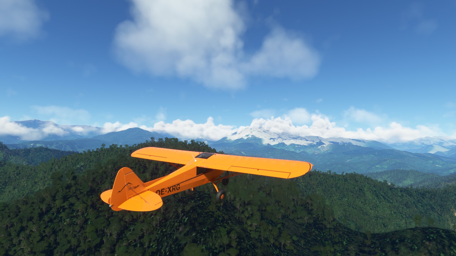
Leg 4
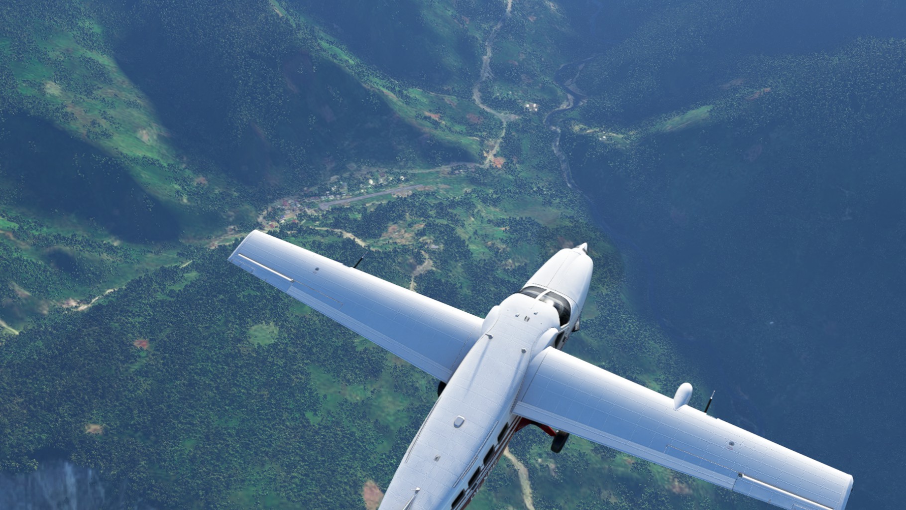
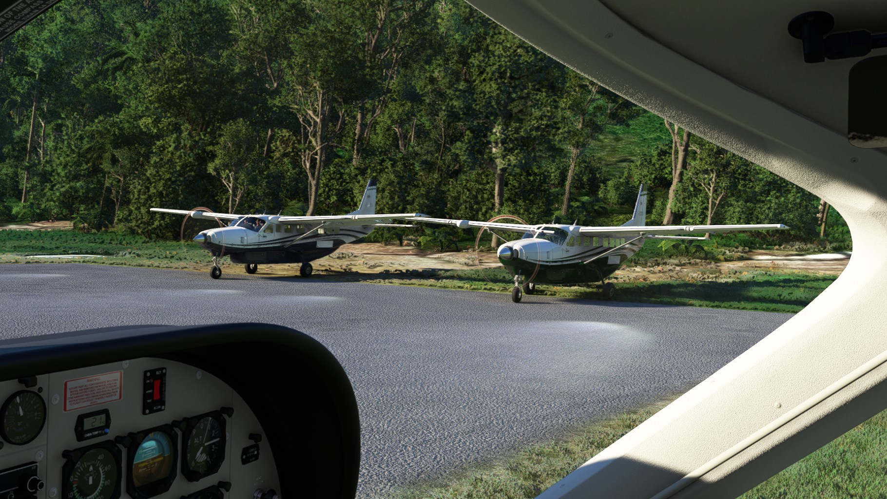
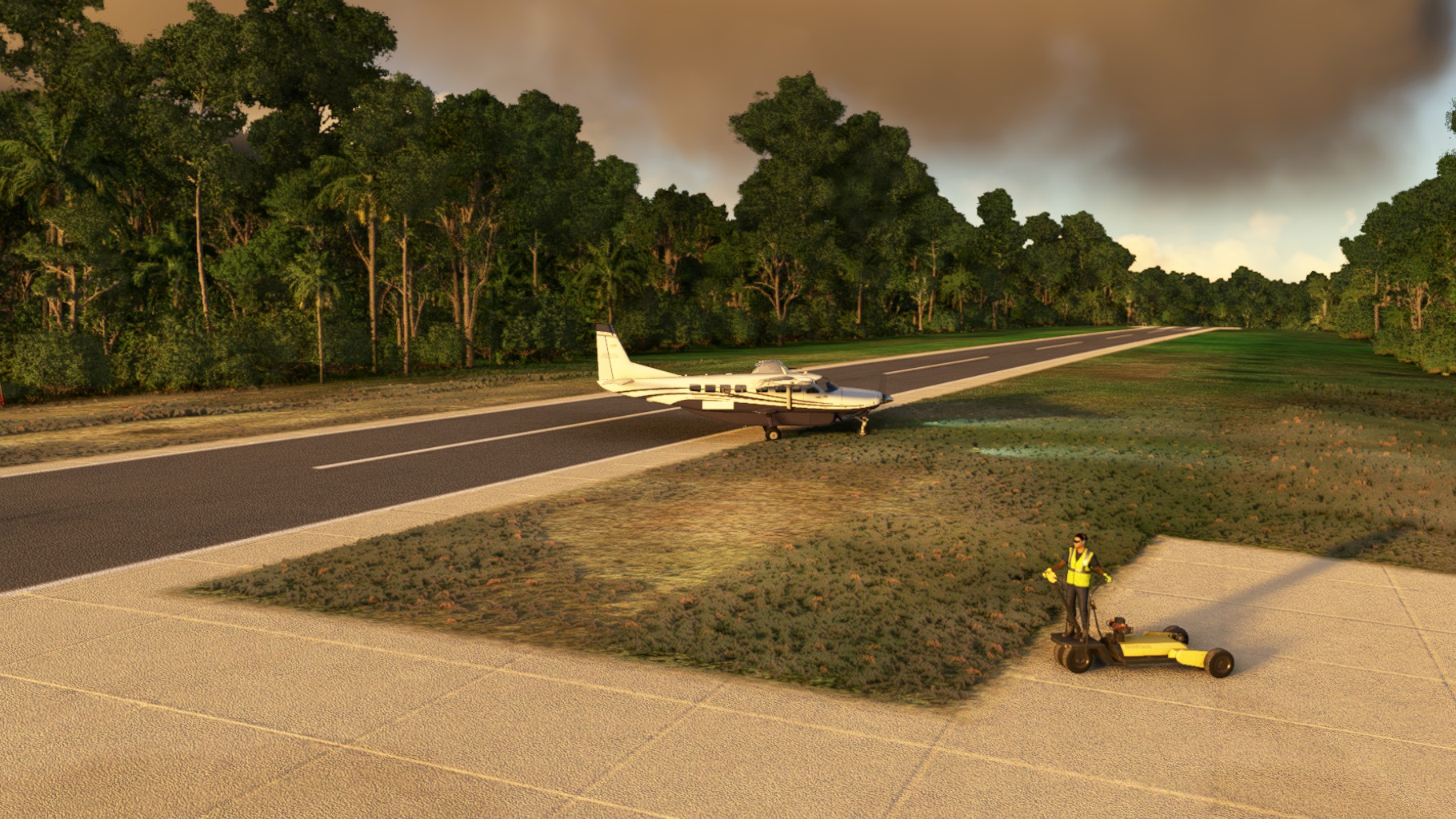
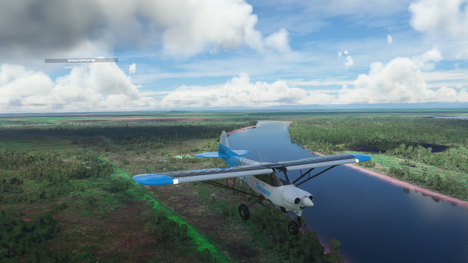
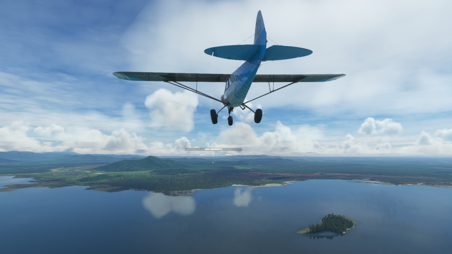
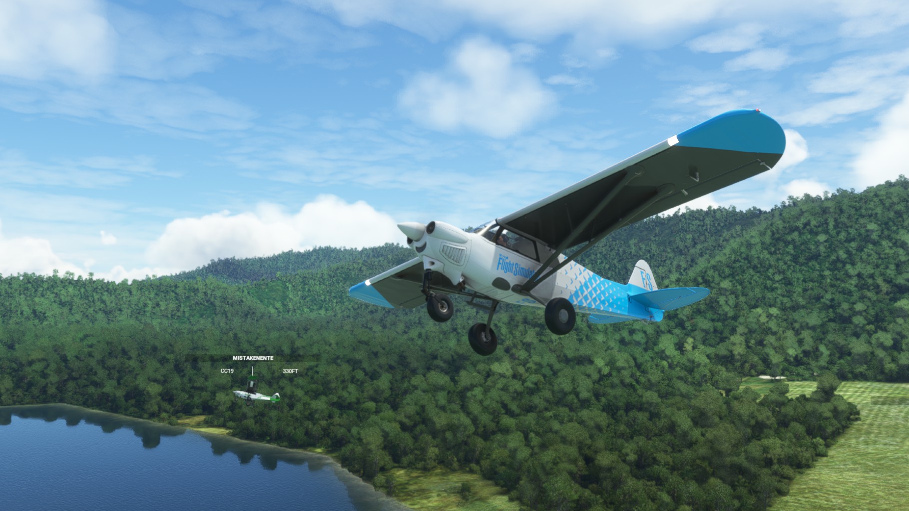
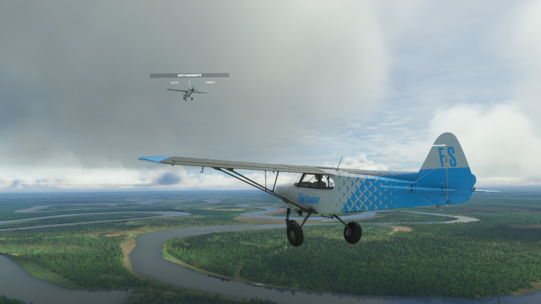
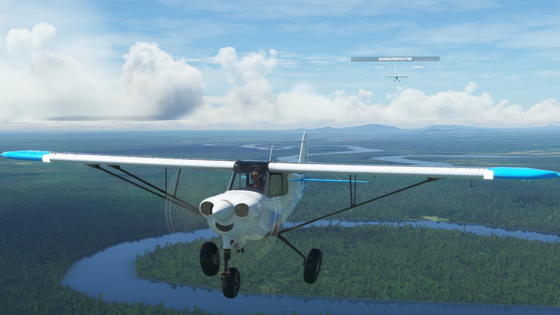
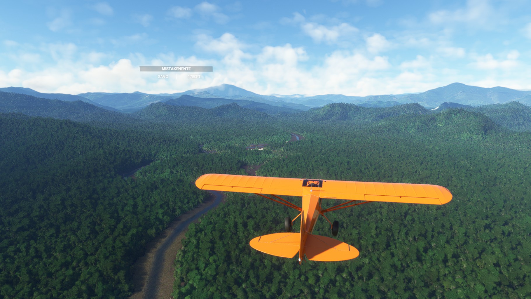
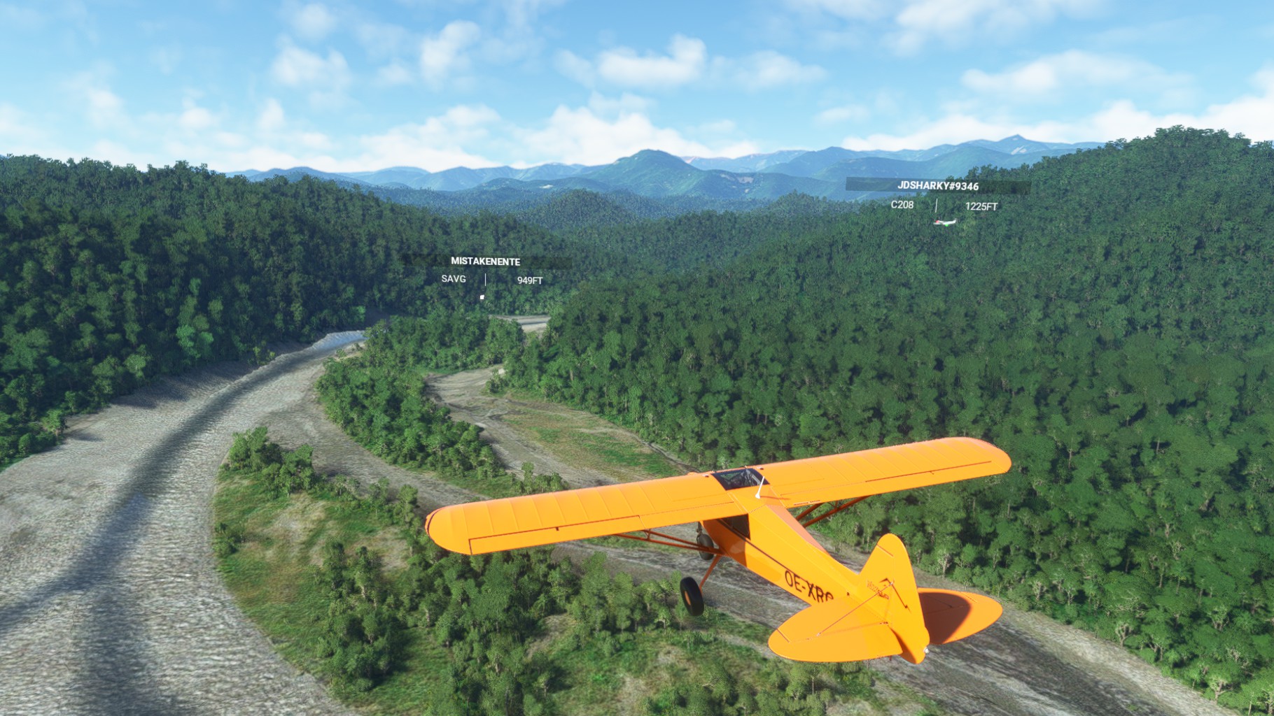
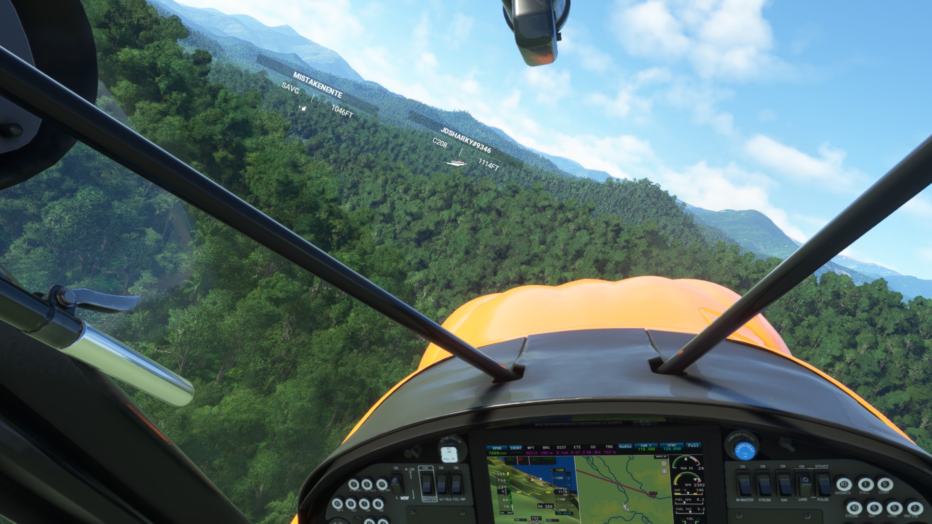
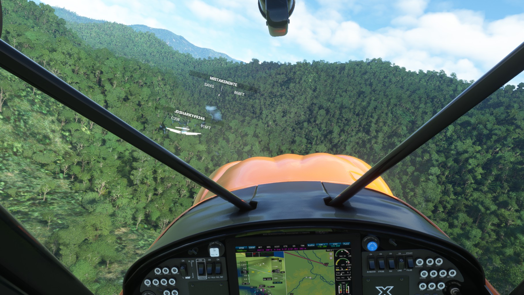
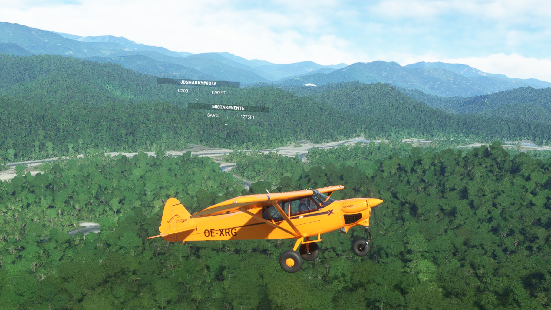
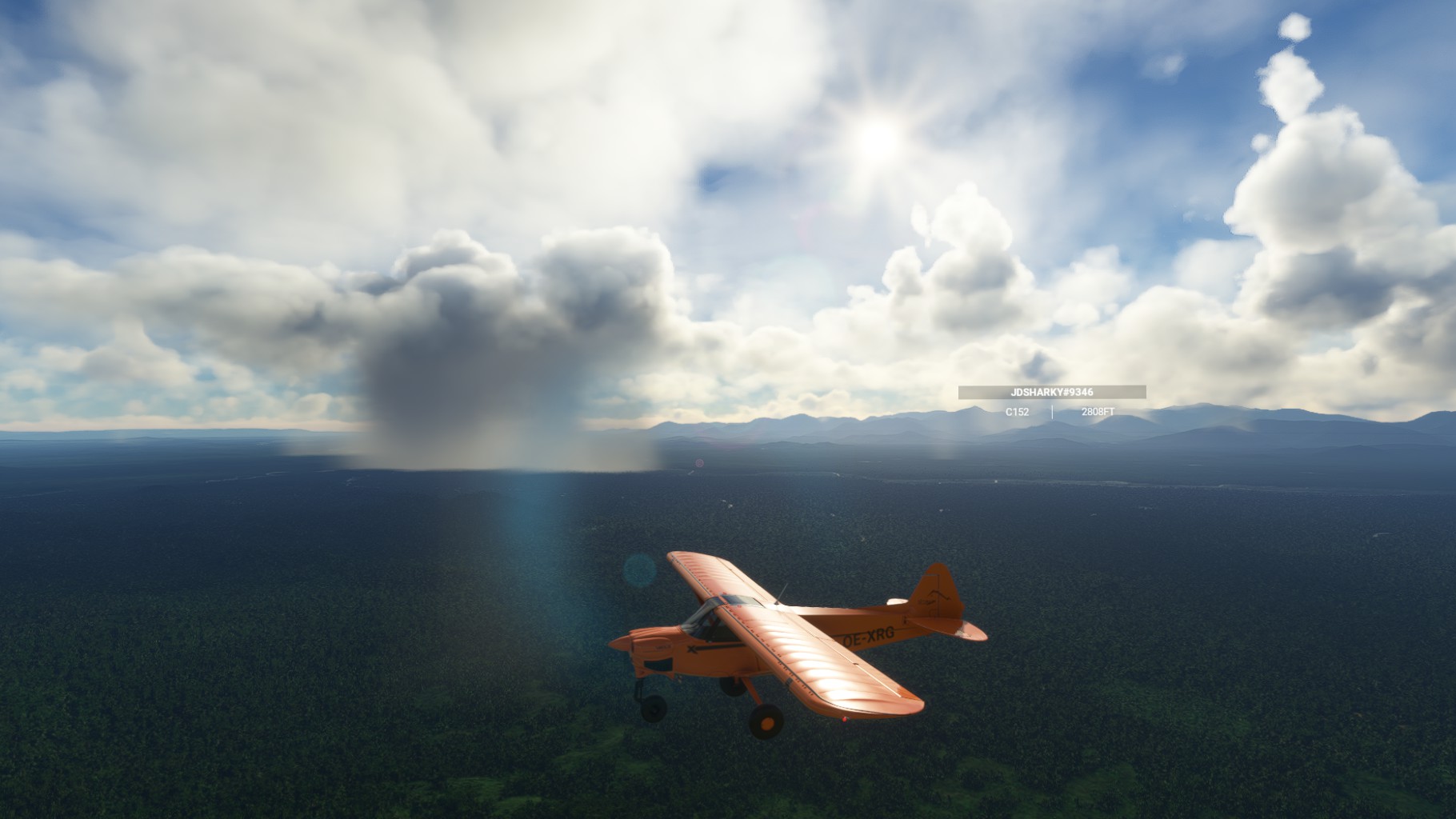
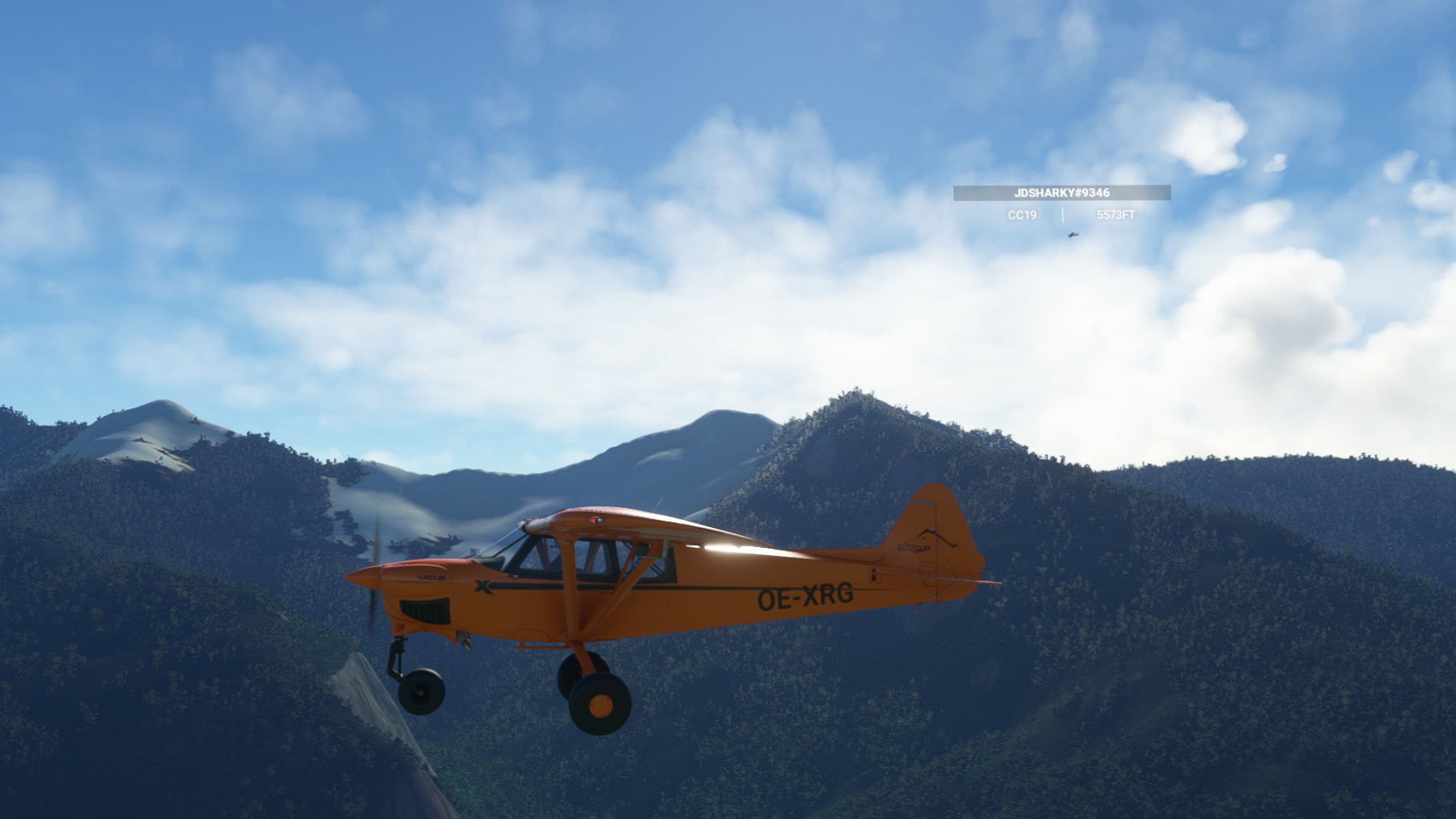
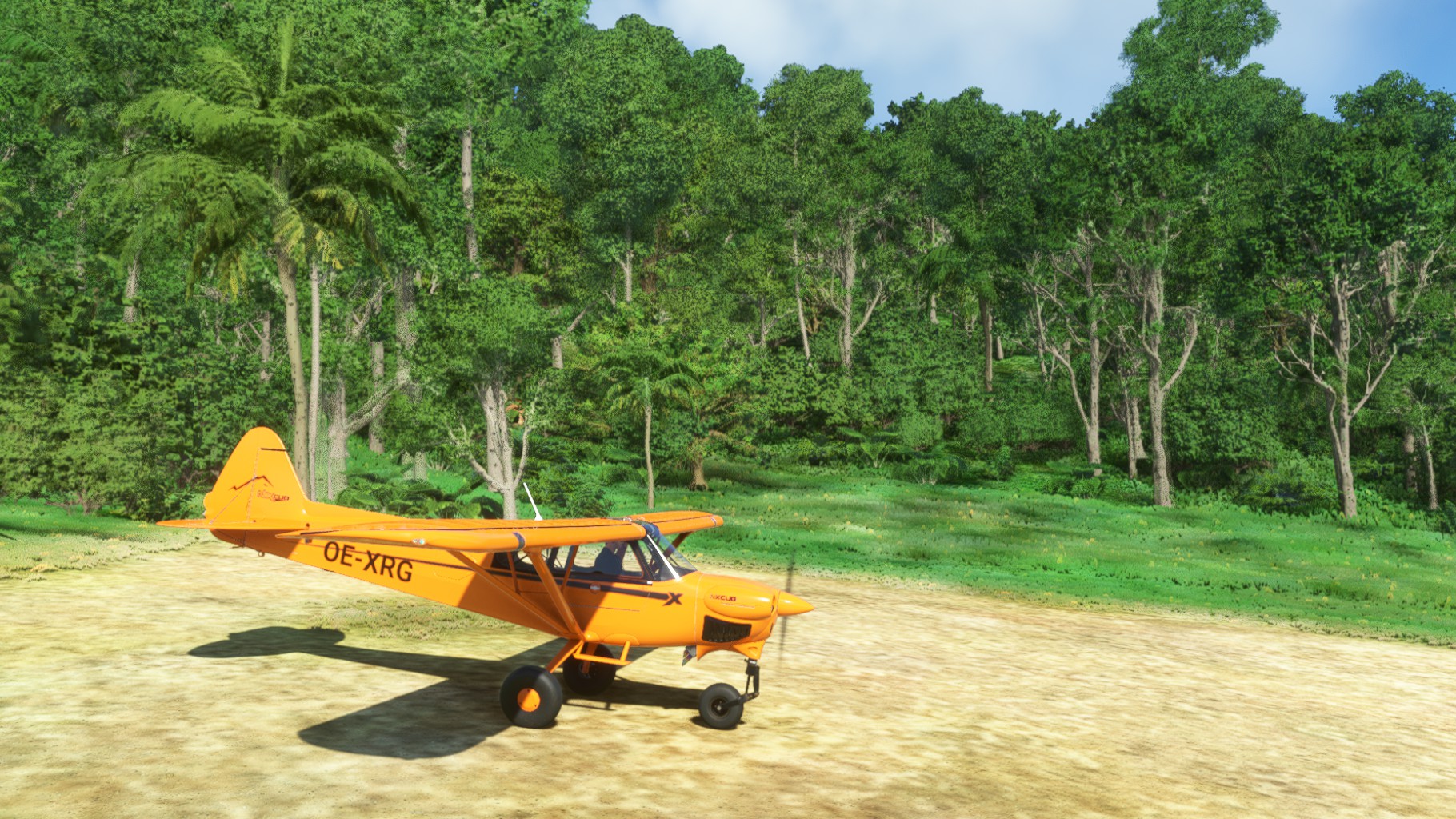
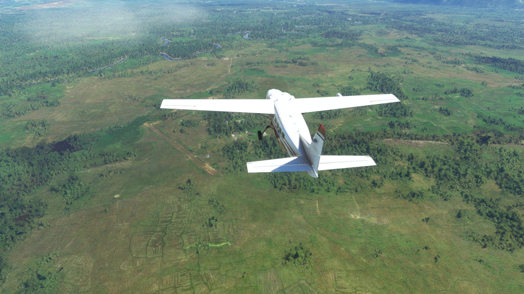
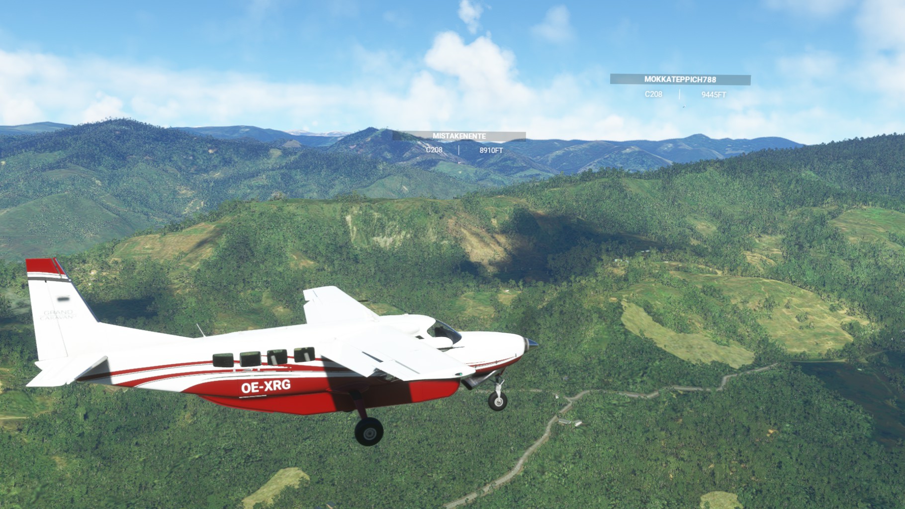
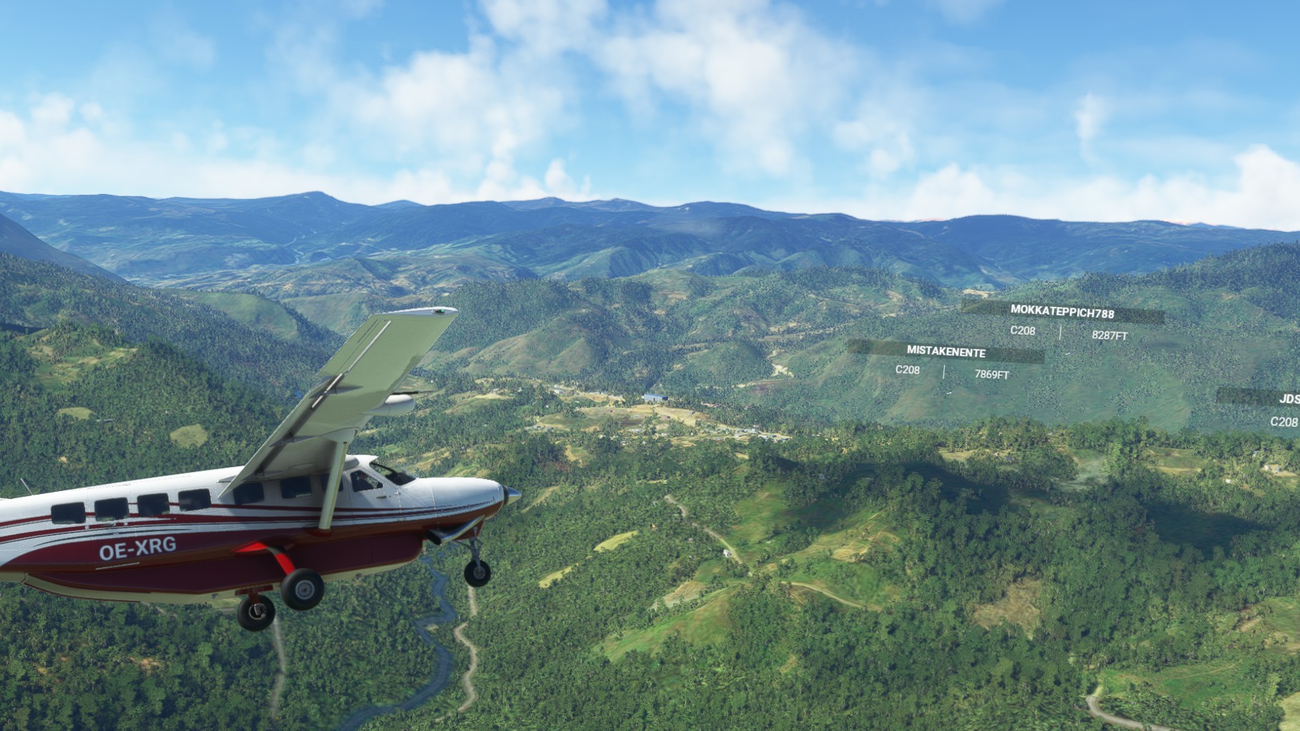
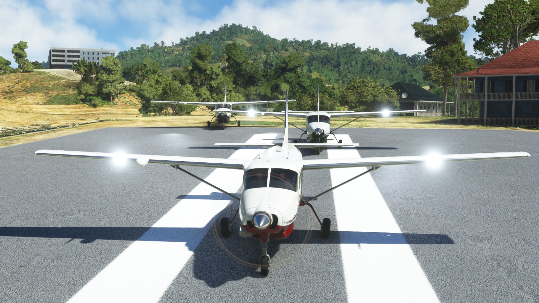
We started out of Yapsiei aiport and a few rain showers to the east gave spectacular views. But we did not linger to long, but started to search already for the next airport. Jörg changed over from to Cessna to a Cub there and up we went.
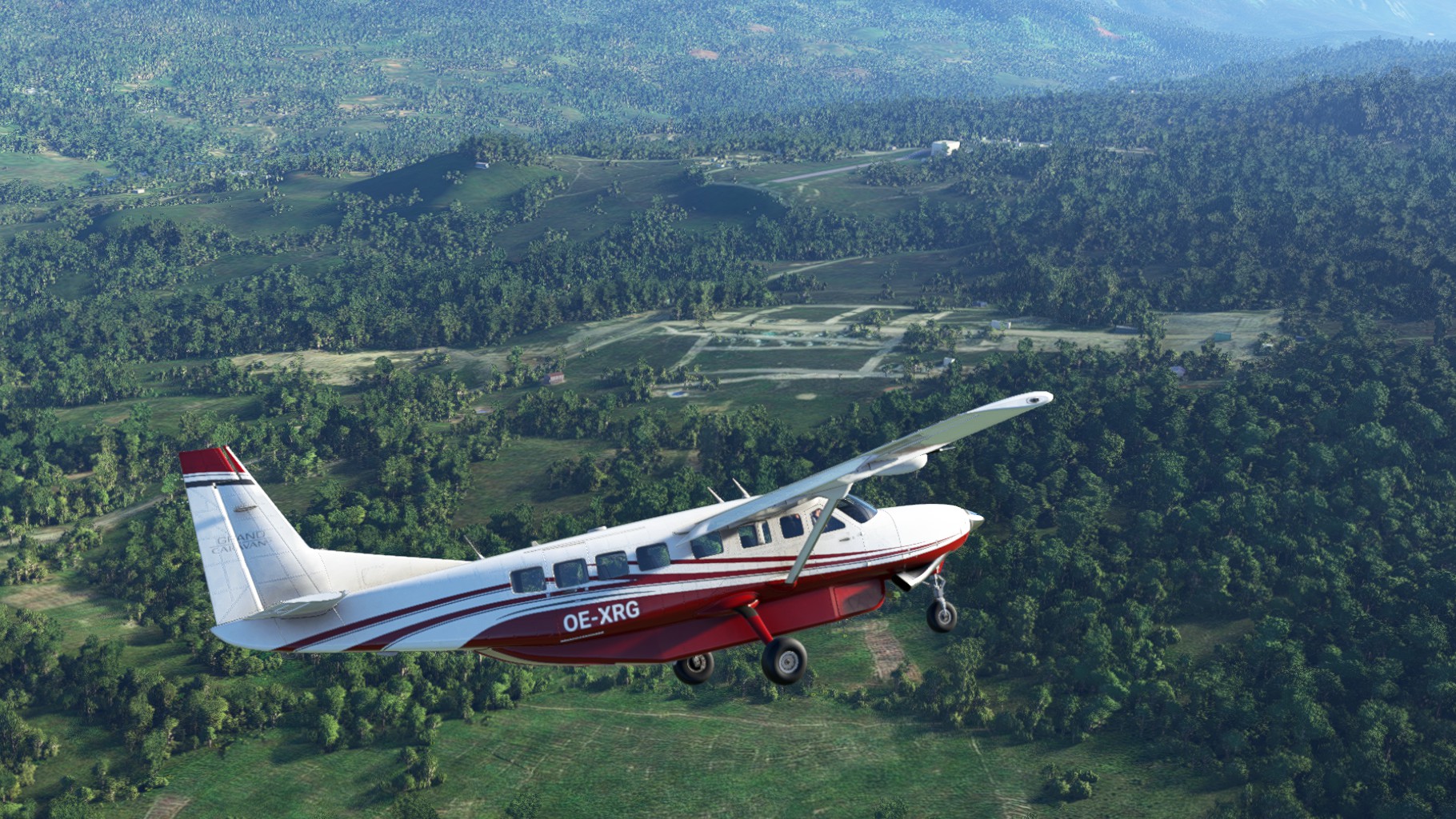
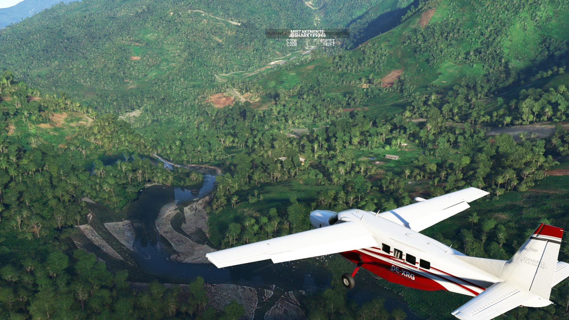
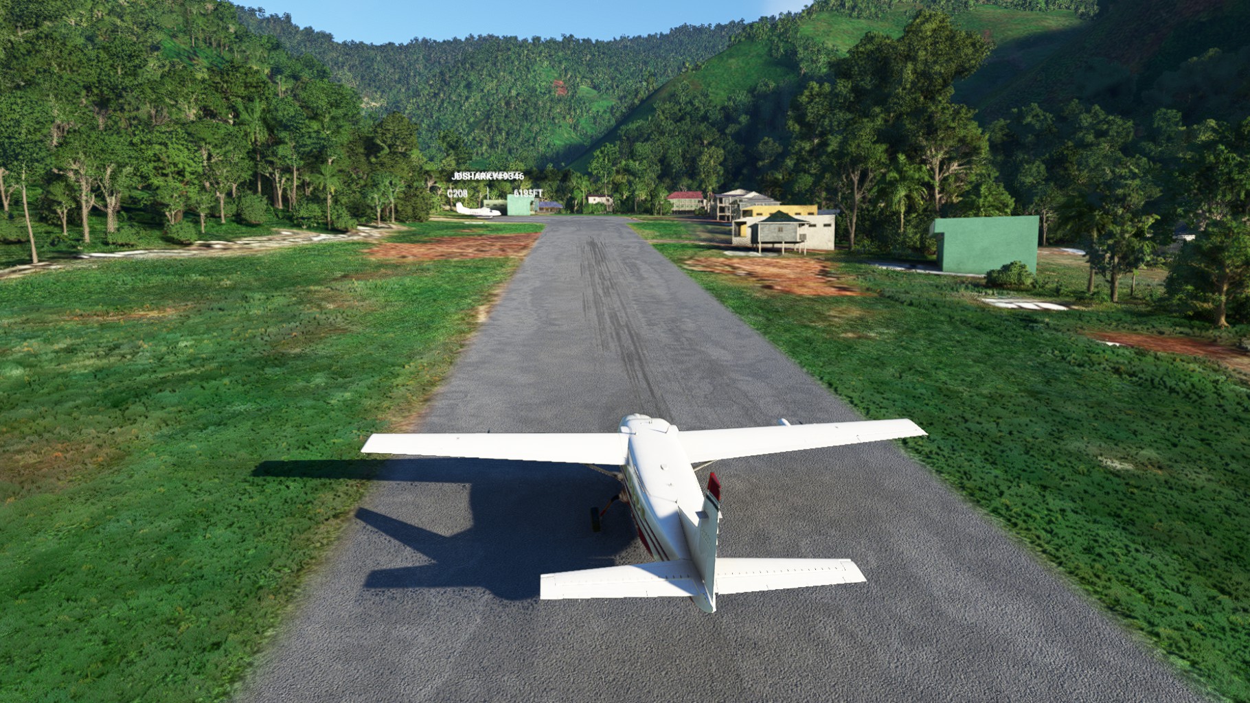
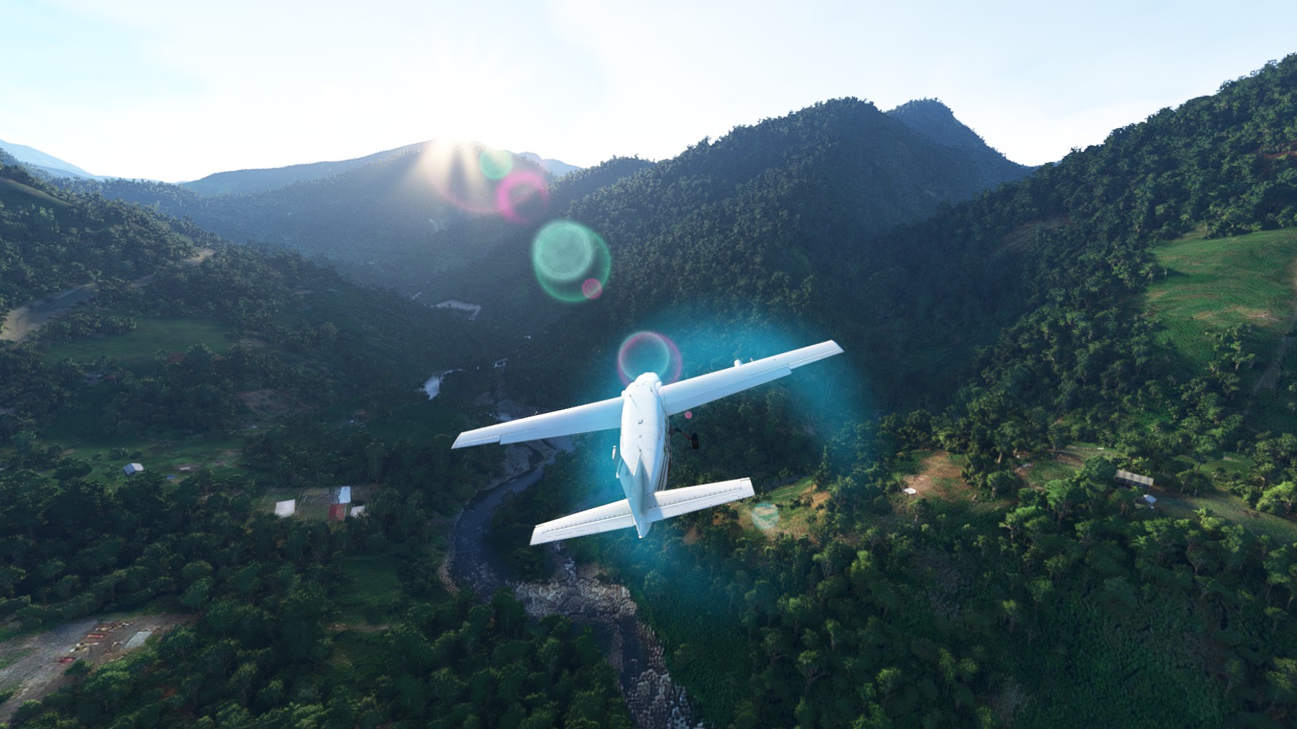
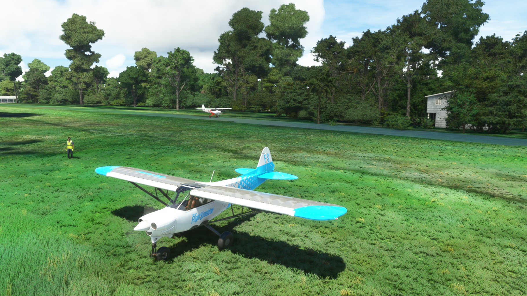
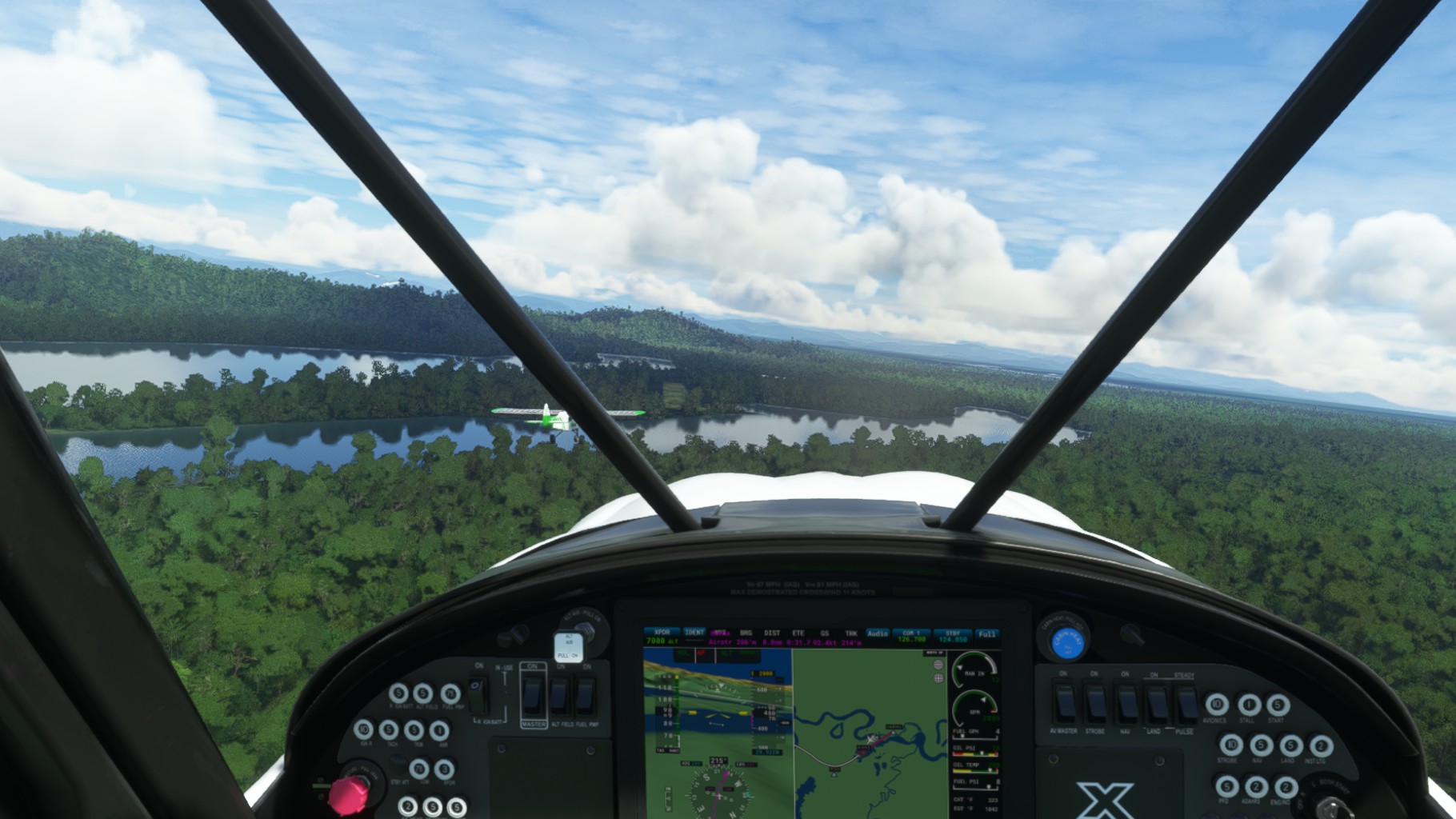
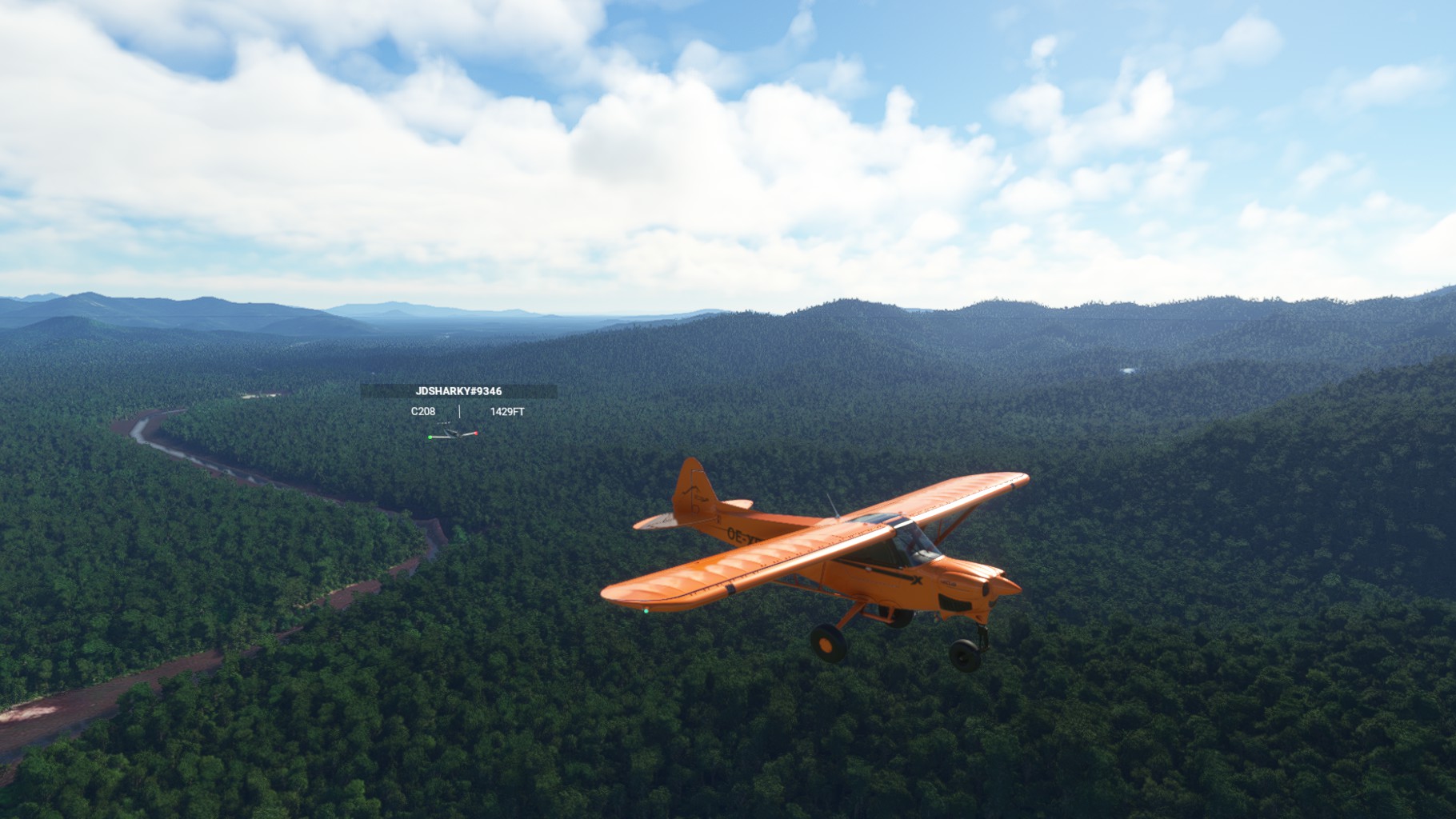
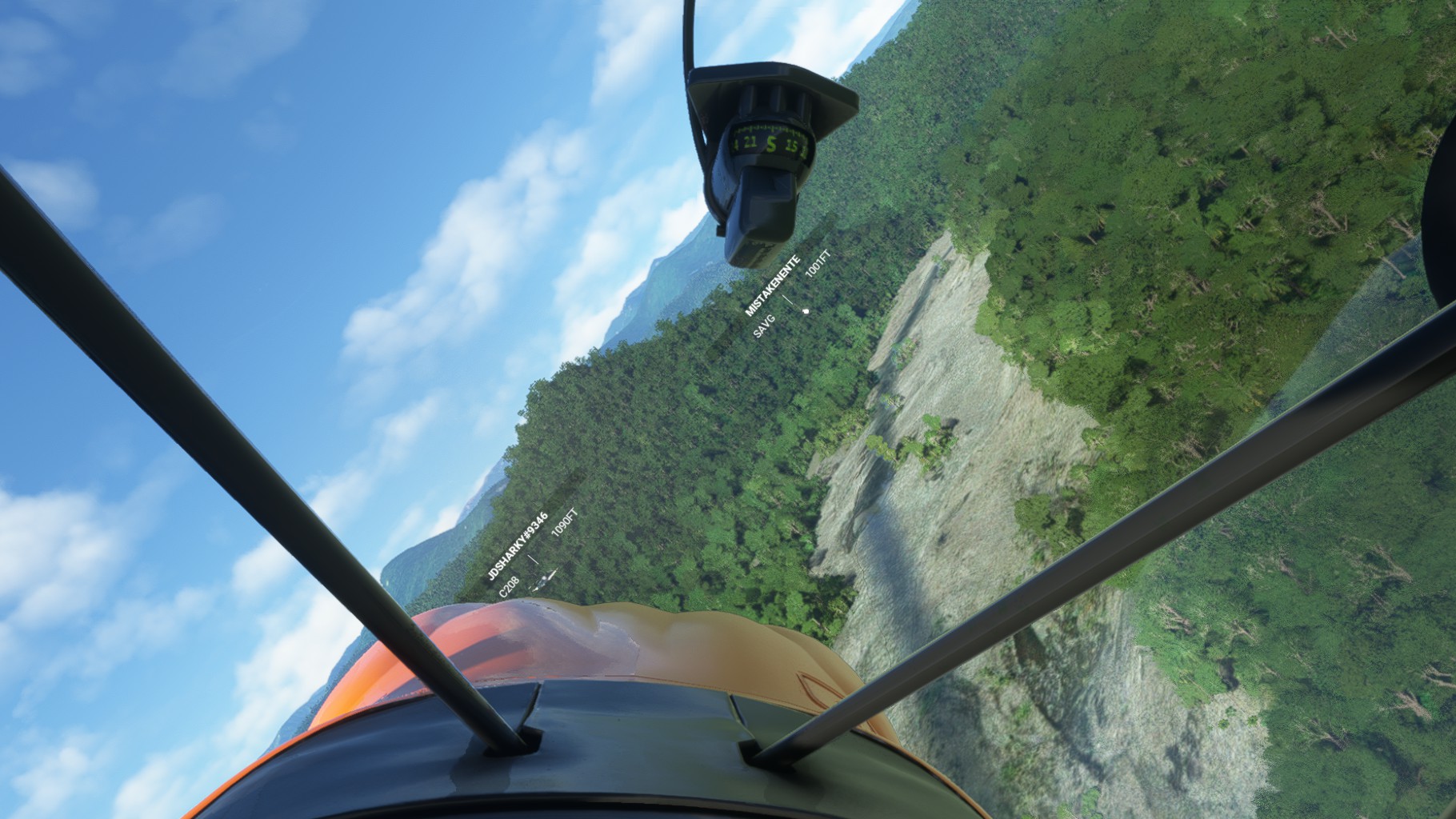
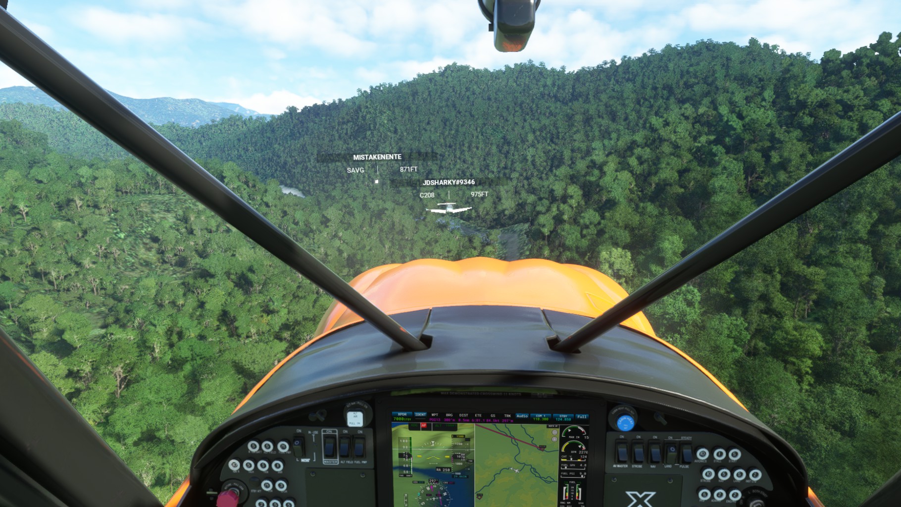
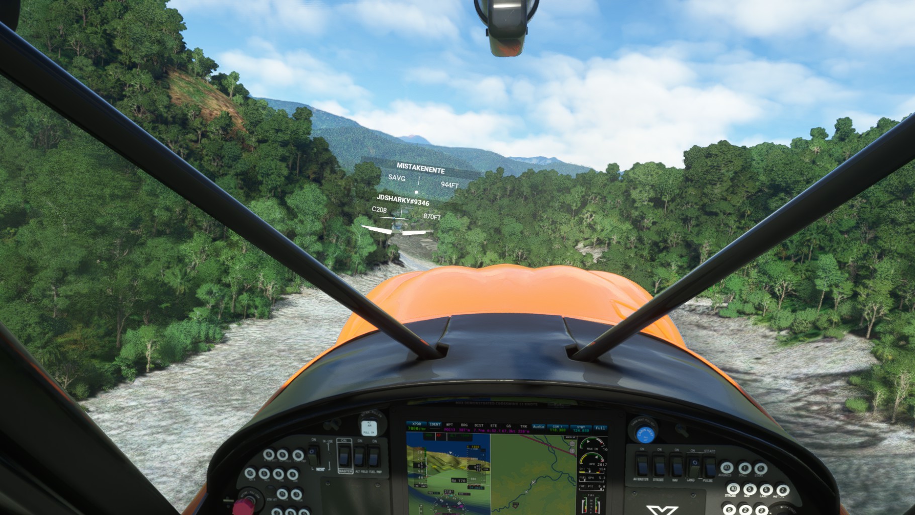
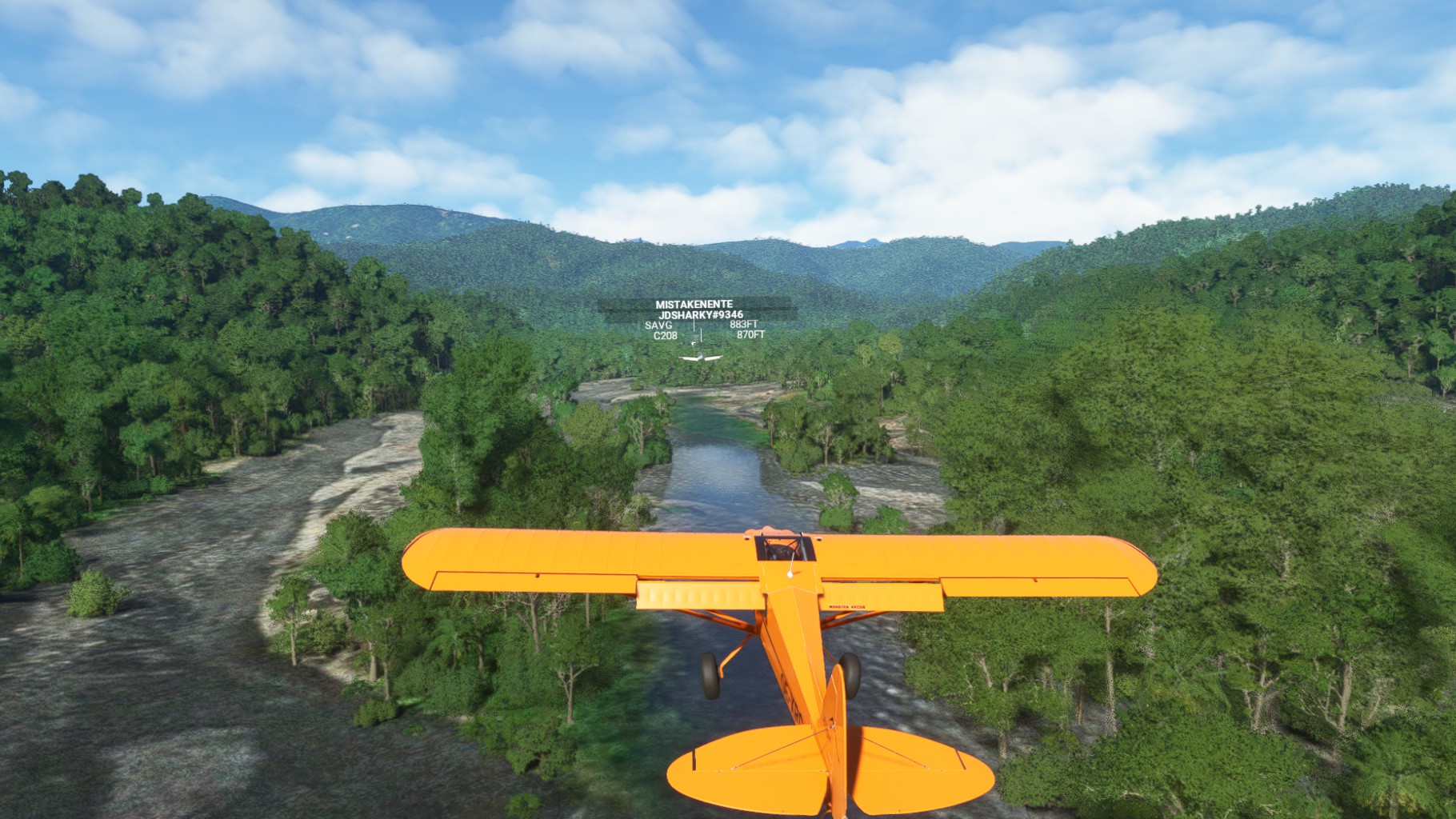
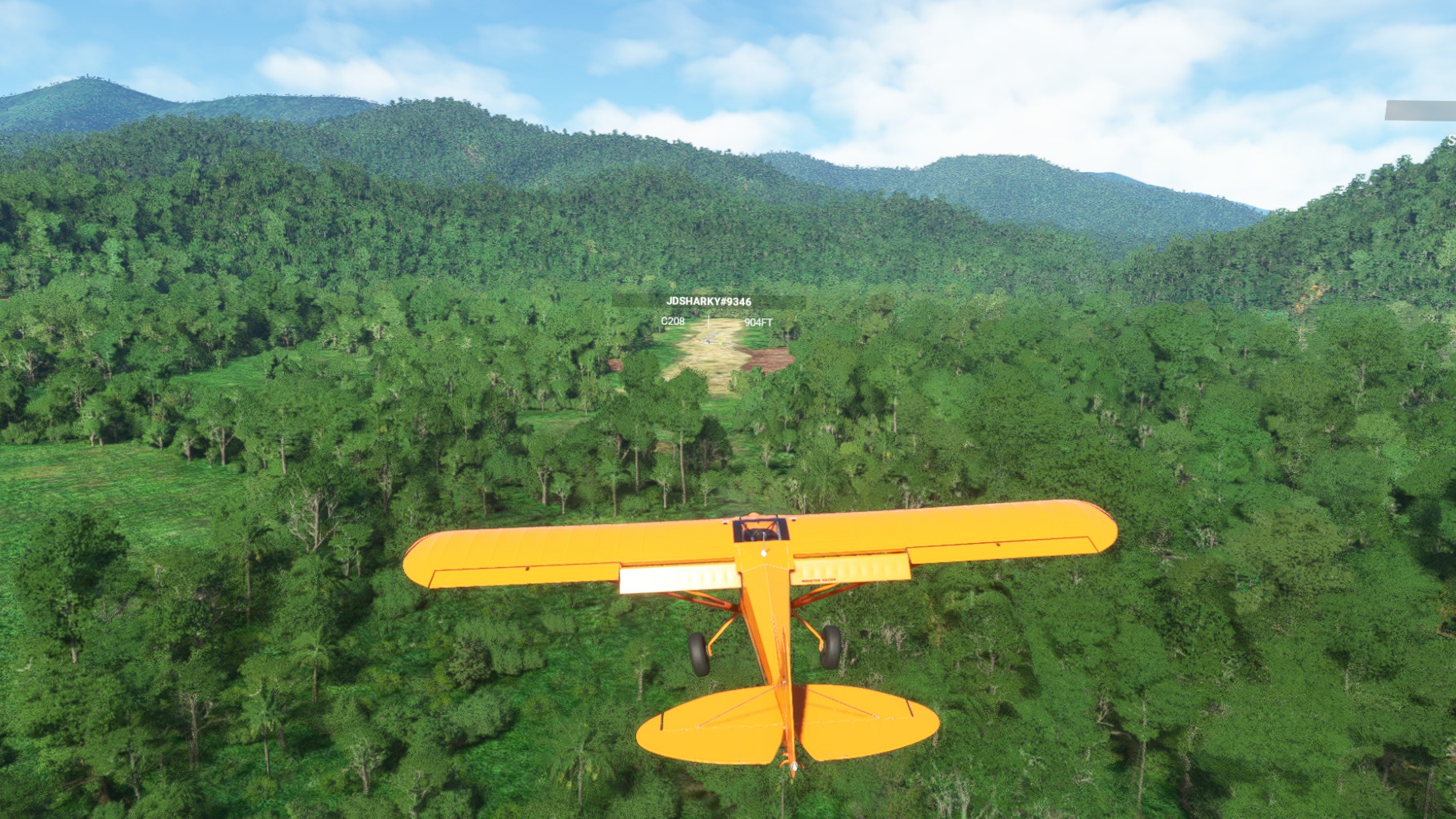
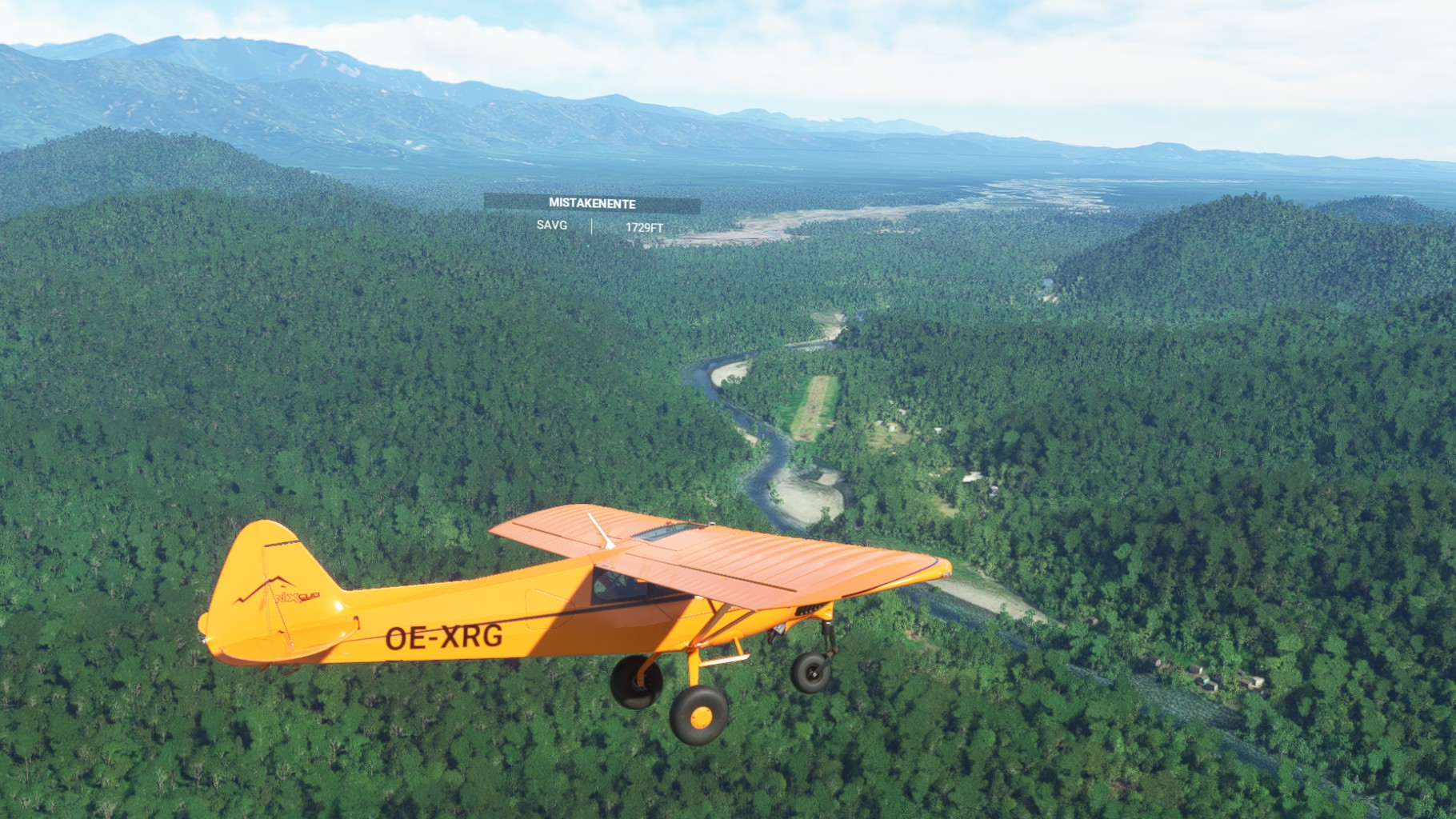
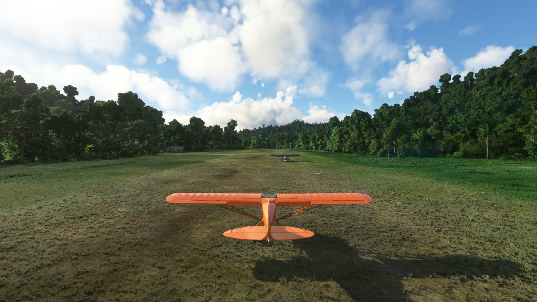
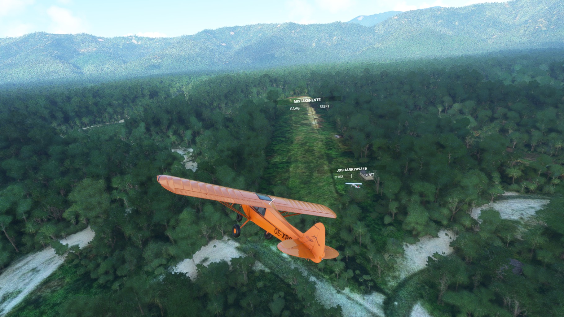
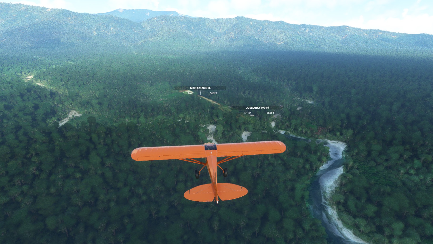
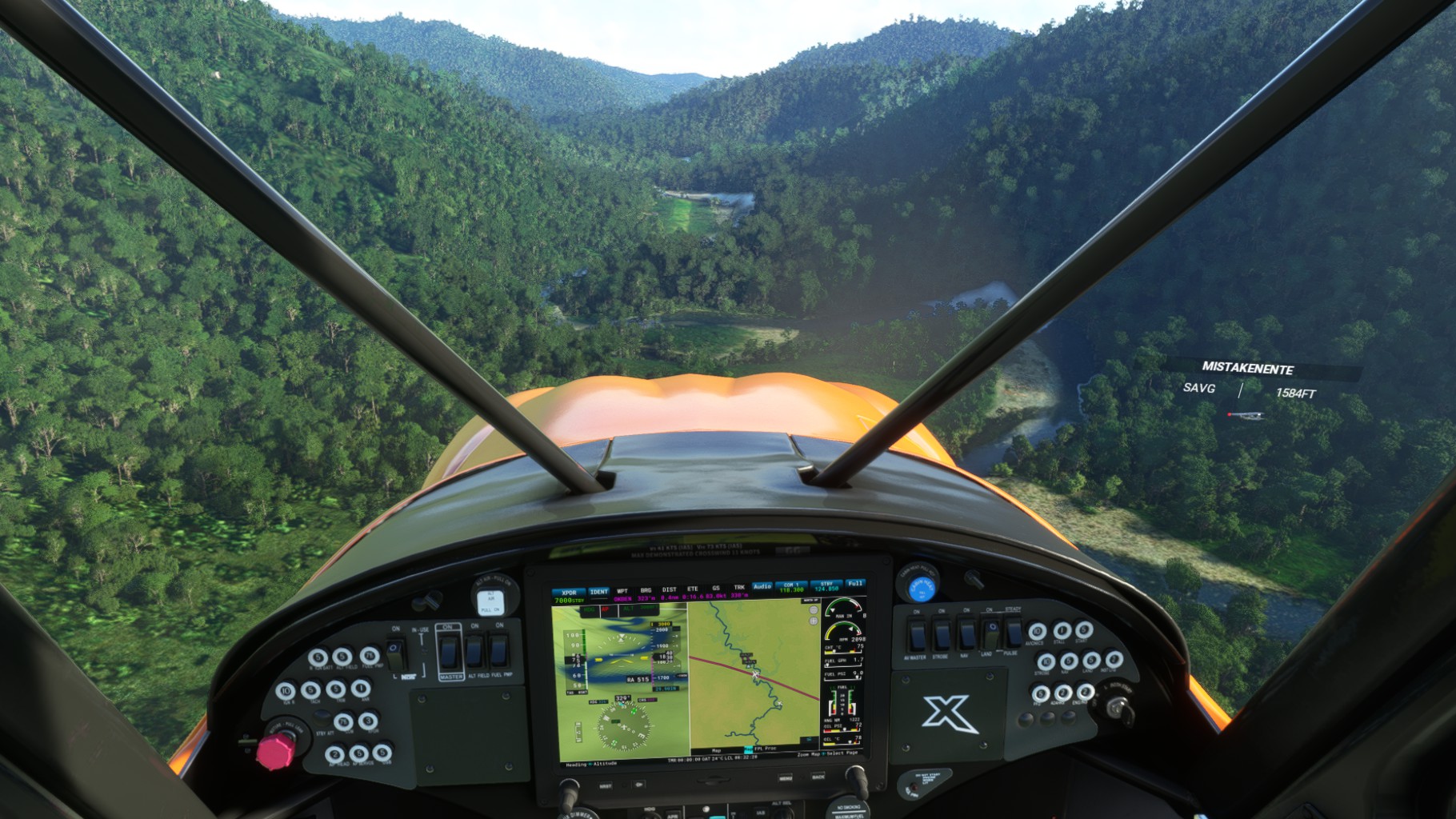
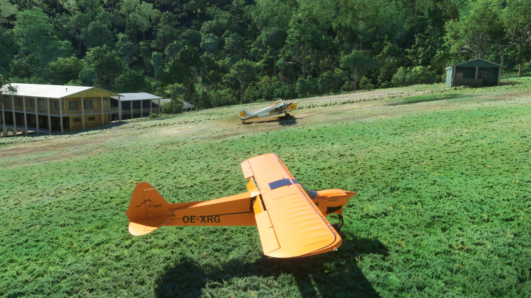
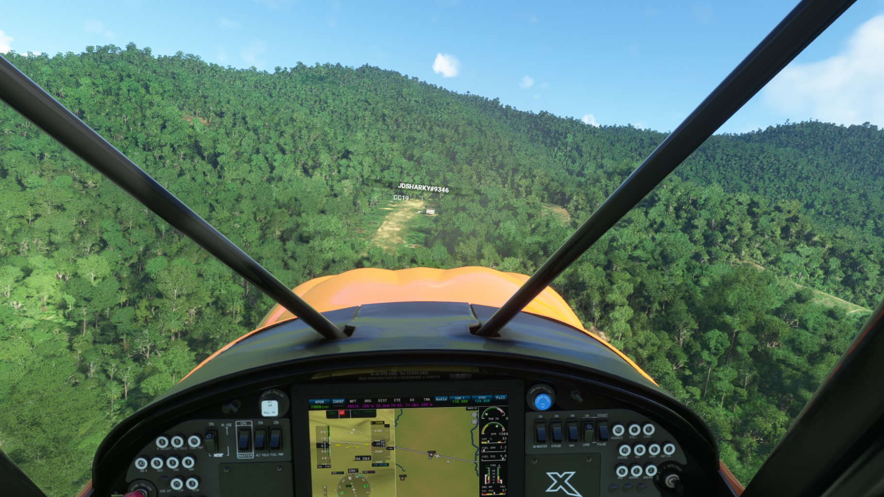
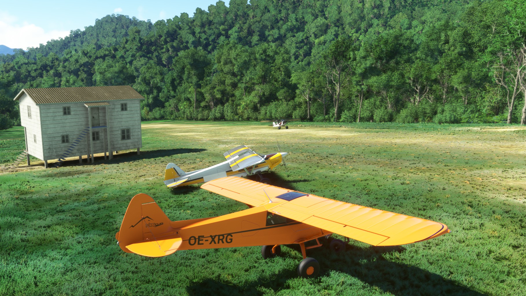
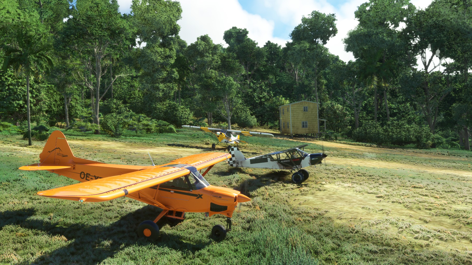
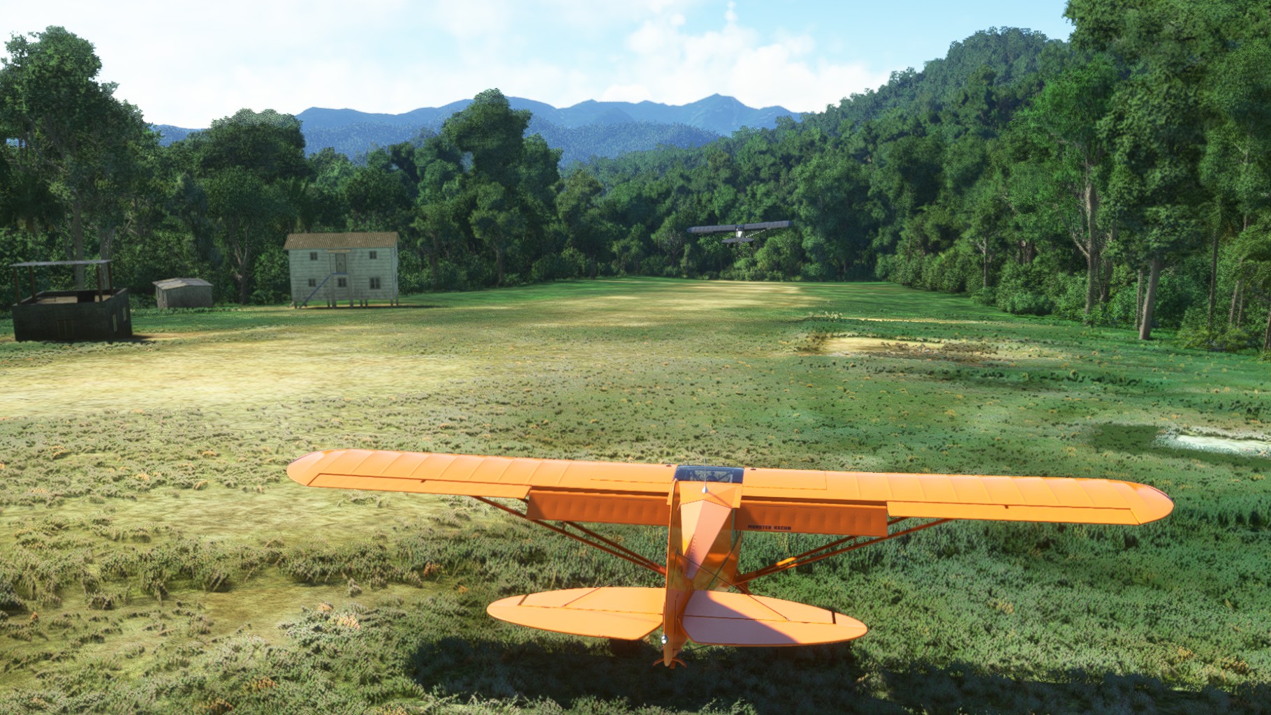
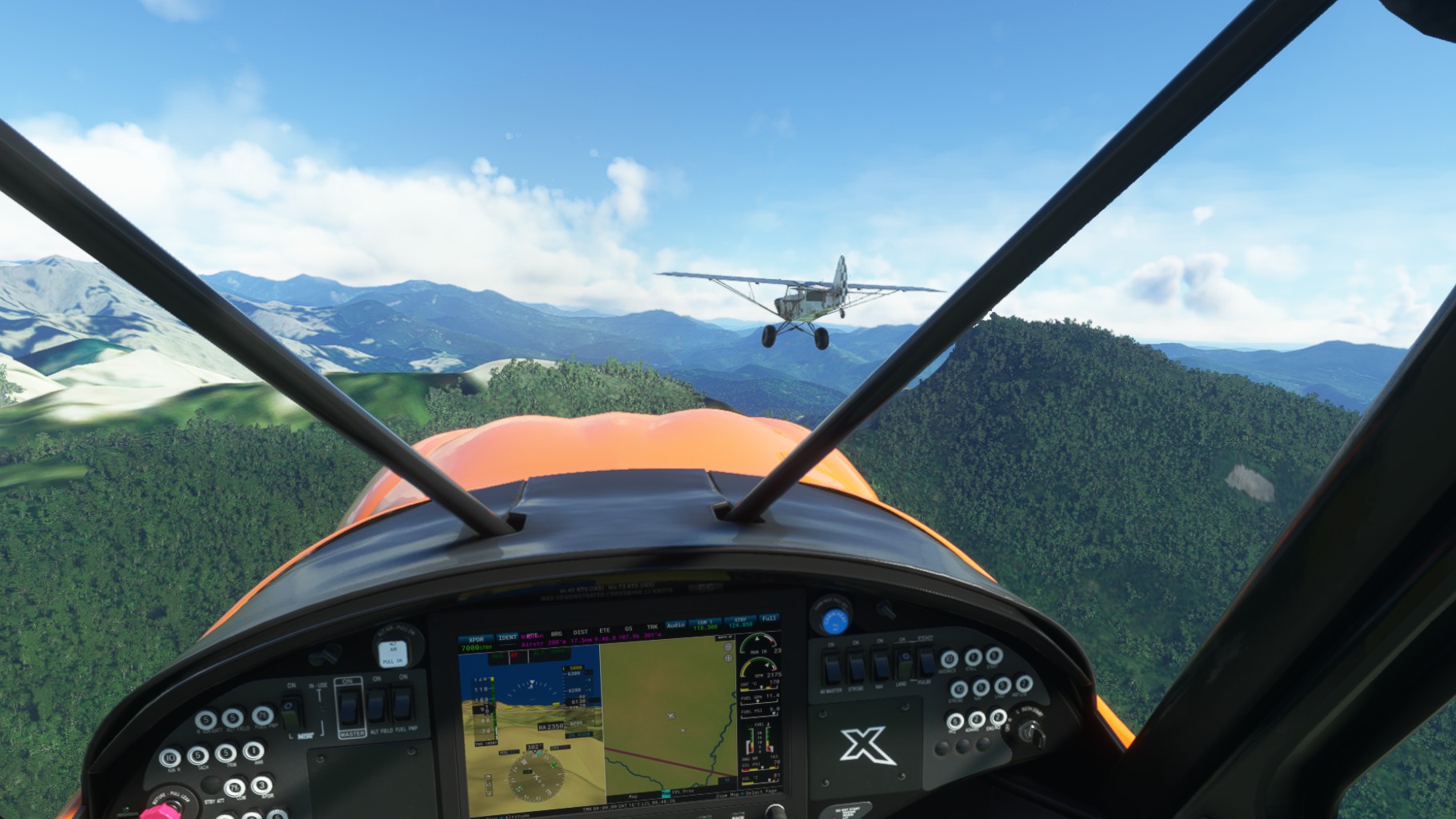
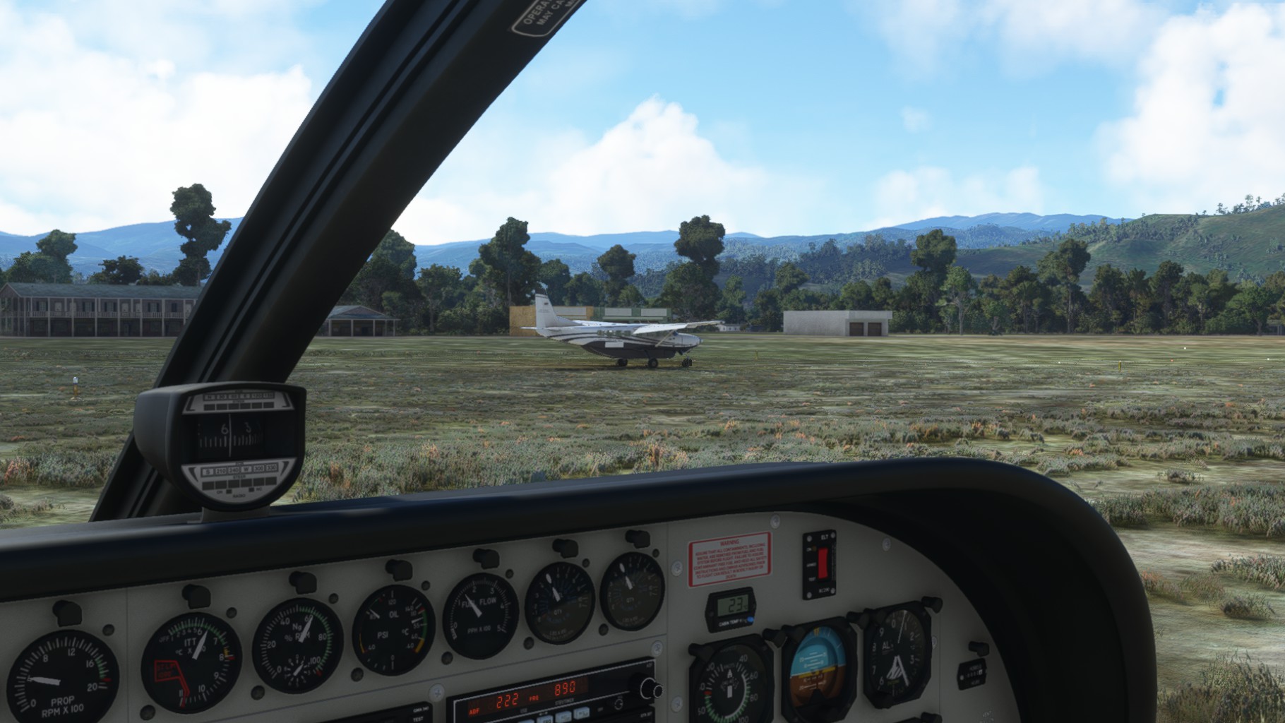
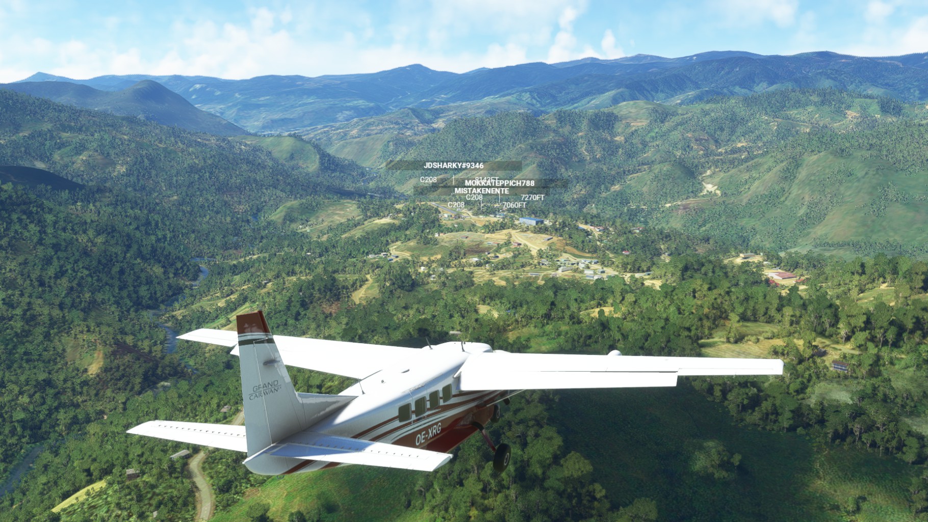
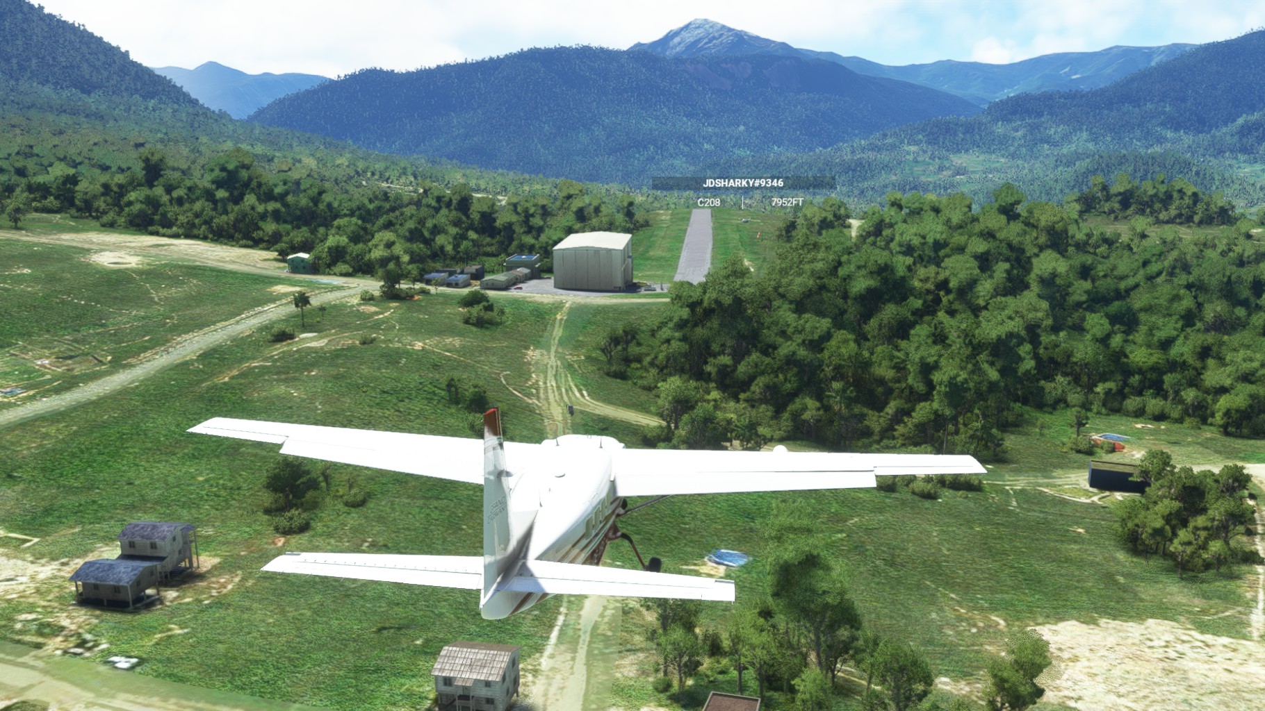
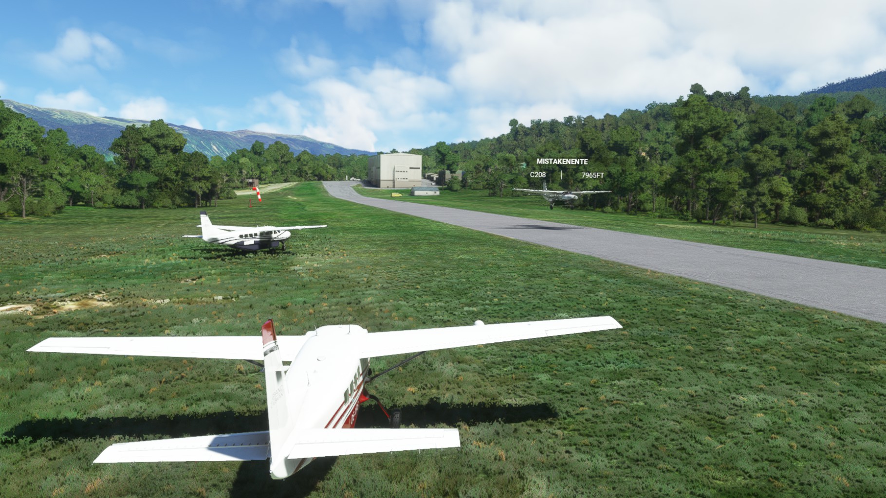
We dove through valleys and over mountains quite close and had great fun finding and landing on the many small strips on the way to Western New Guinea. Some of them were steep, most of them had vegatiation around and all of them were short (<500m usually). Even with the Cubs, getting down with the right speed was a challenge and we did a few approaches on some before finally setting down our wheels.
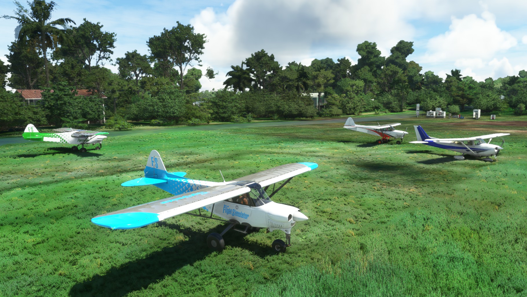
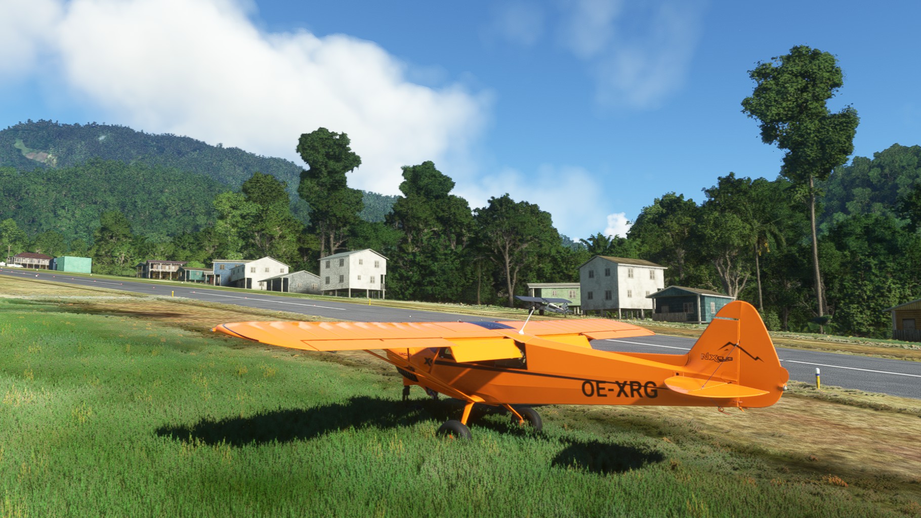
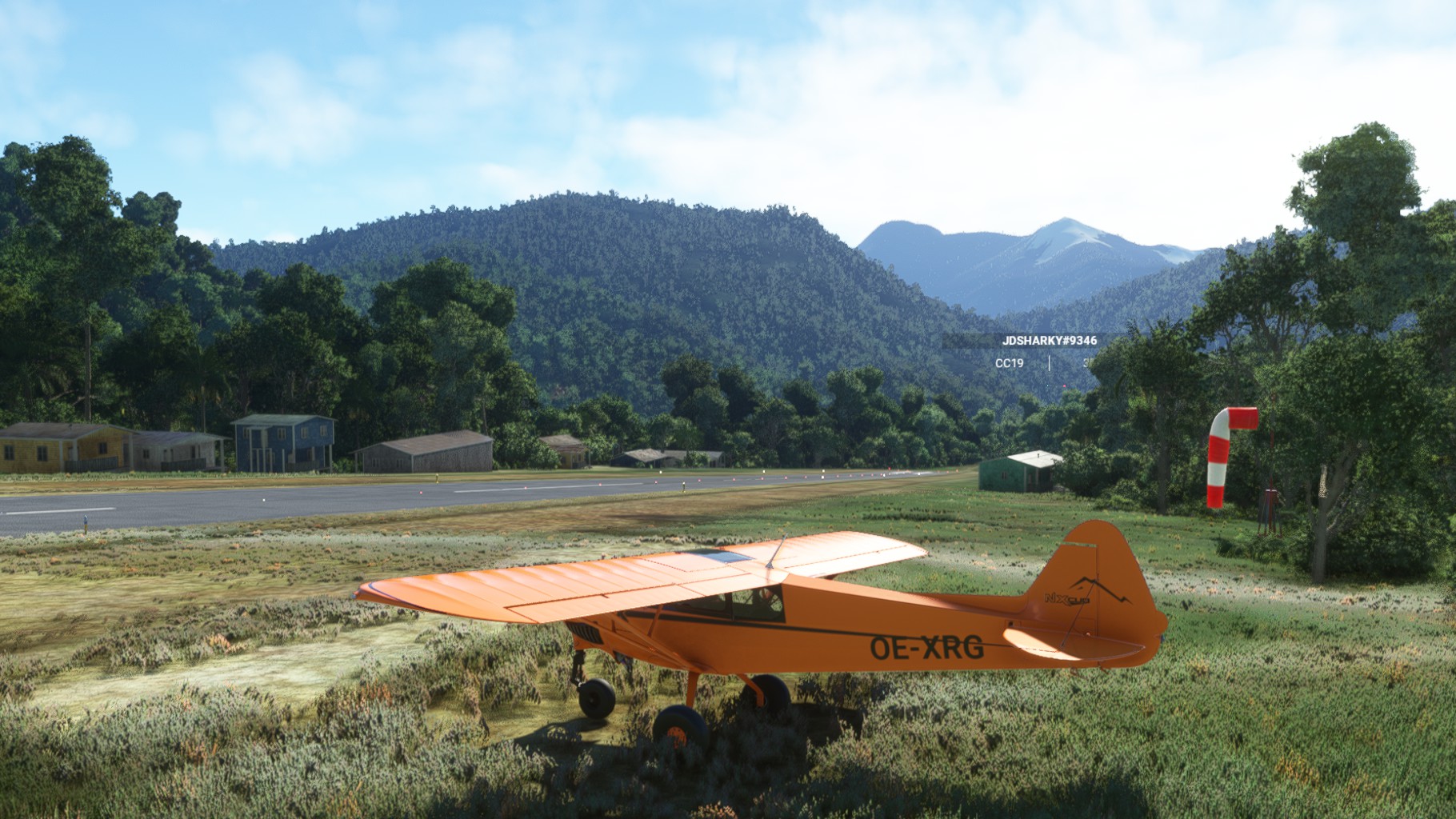
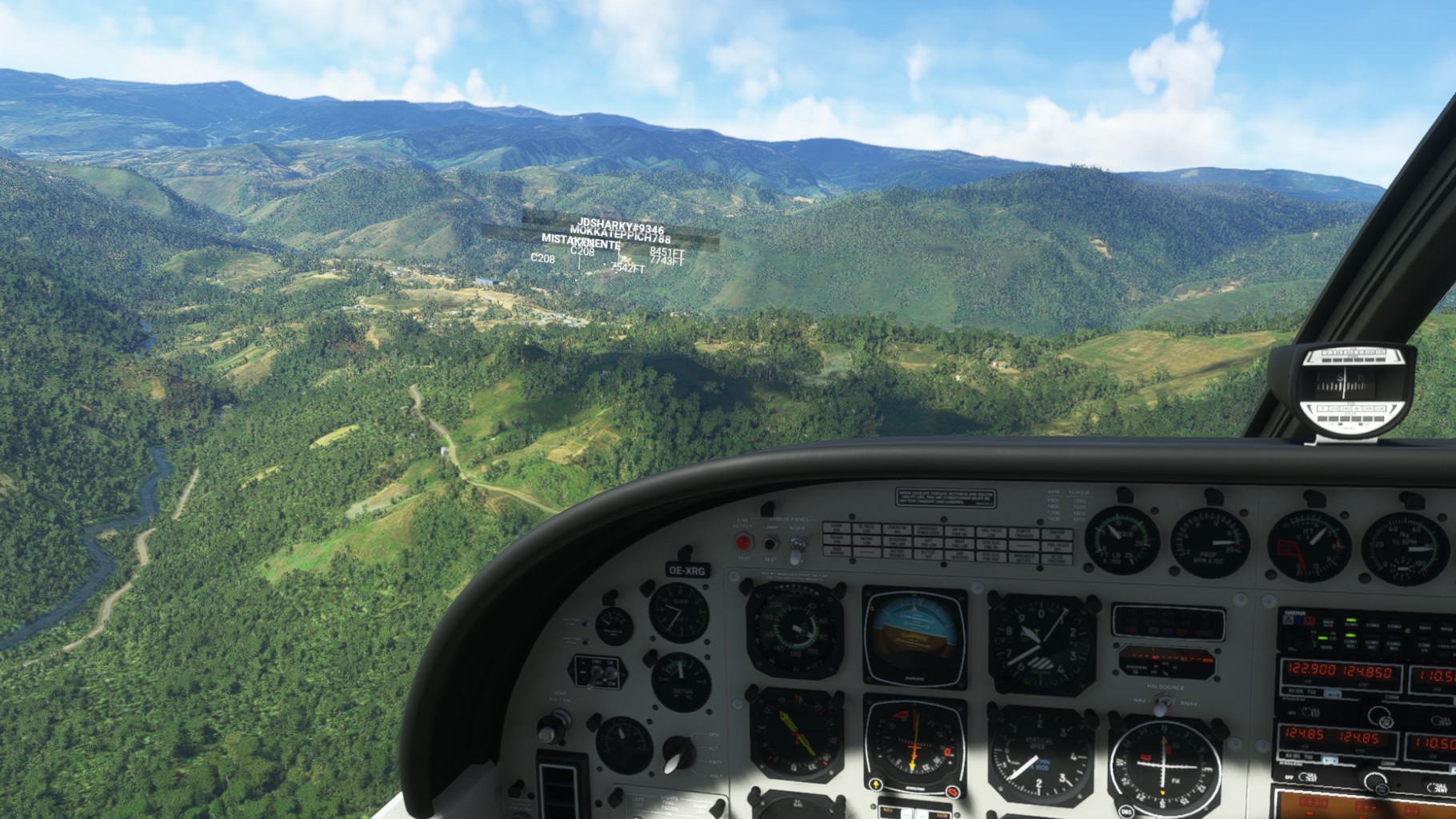
Time flew by as the mountains got higher and higher. The last approach had another challenge as the direction of the runway was perpedicular to the valley leading up to it, hence tight turns were required. But we all made it in one piece to Nipsan Airport.
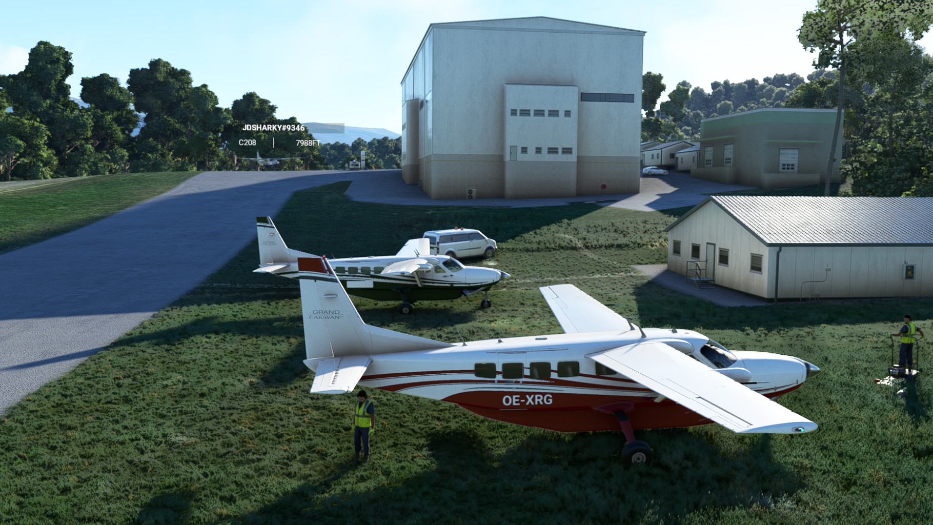
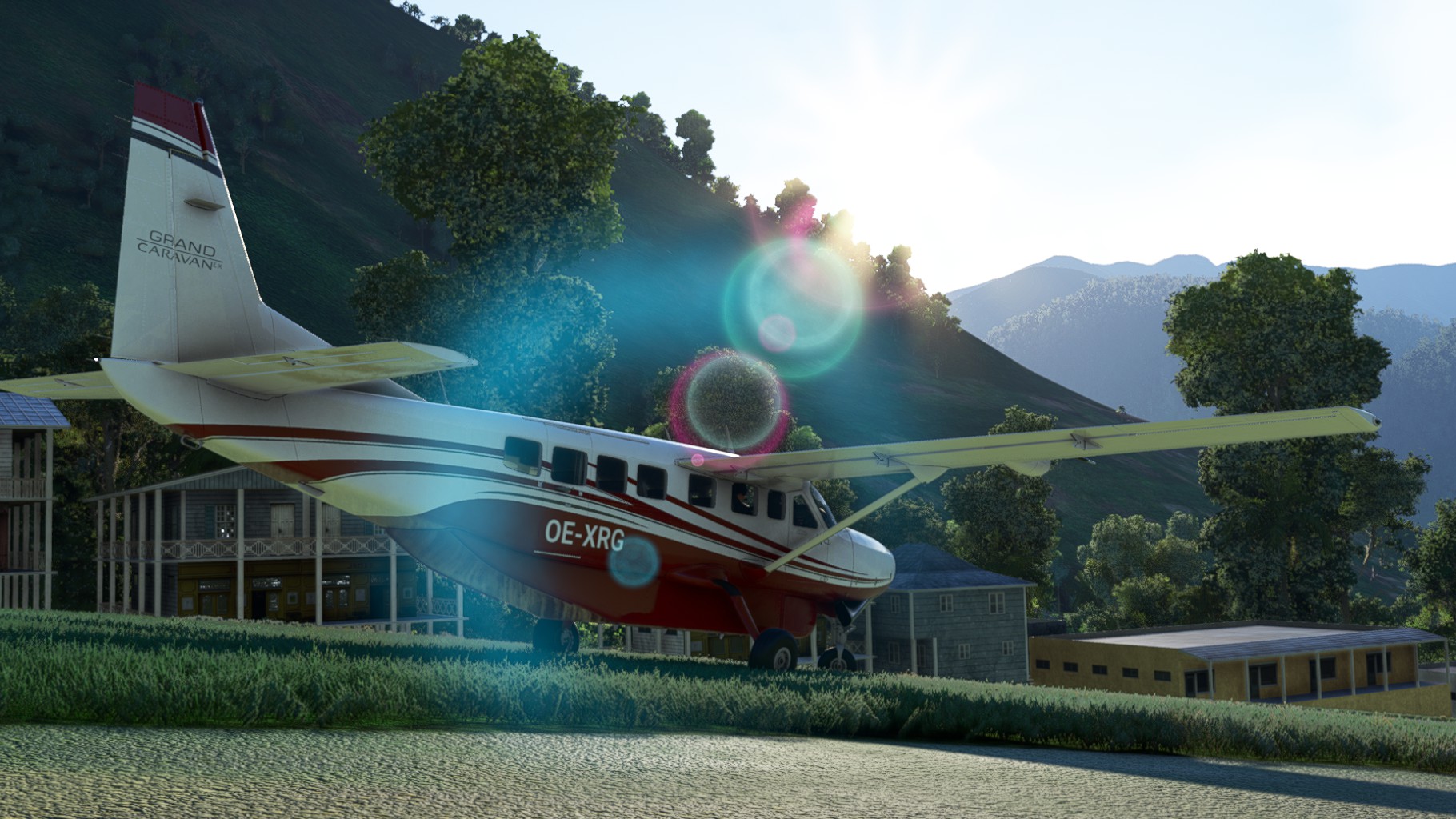
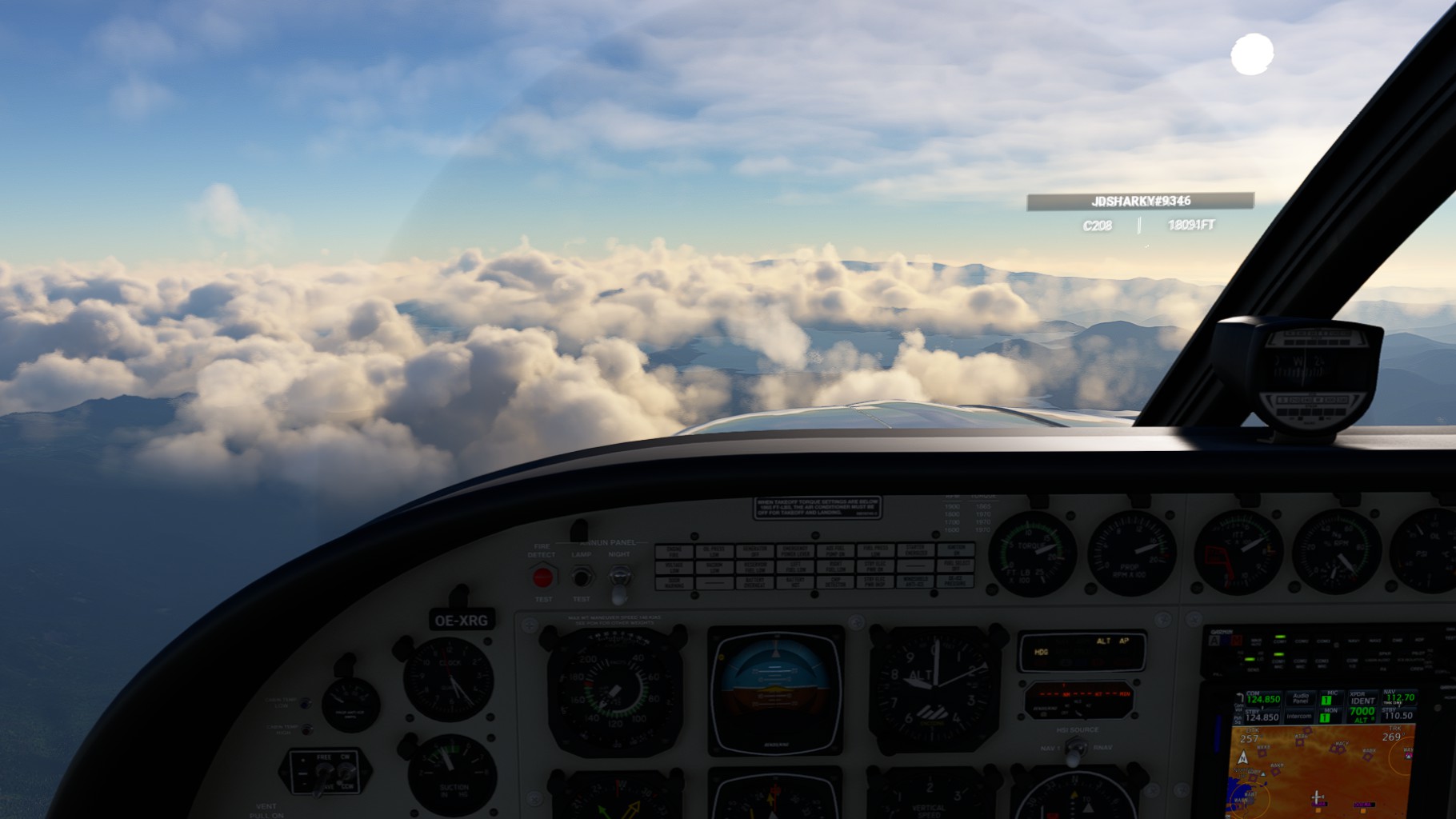
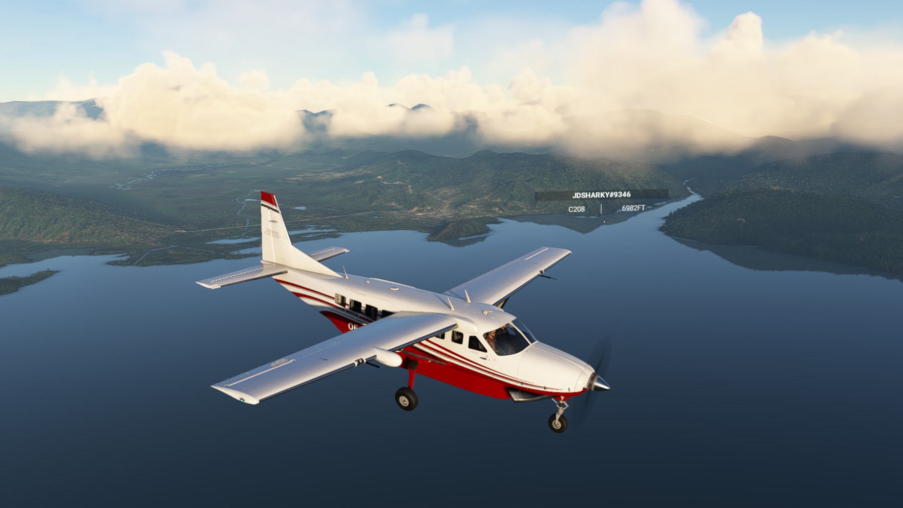
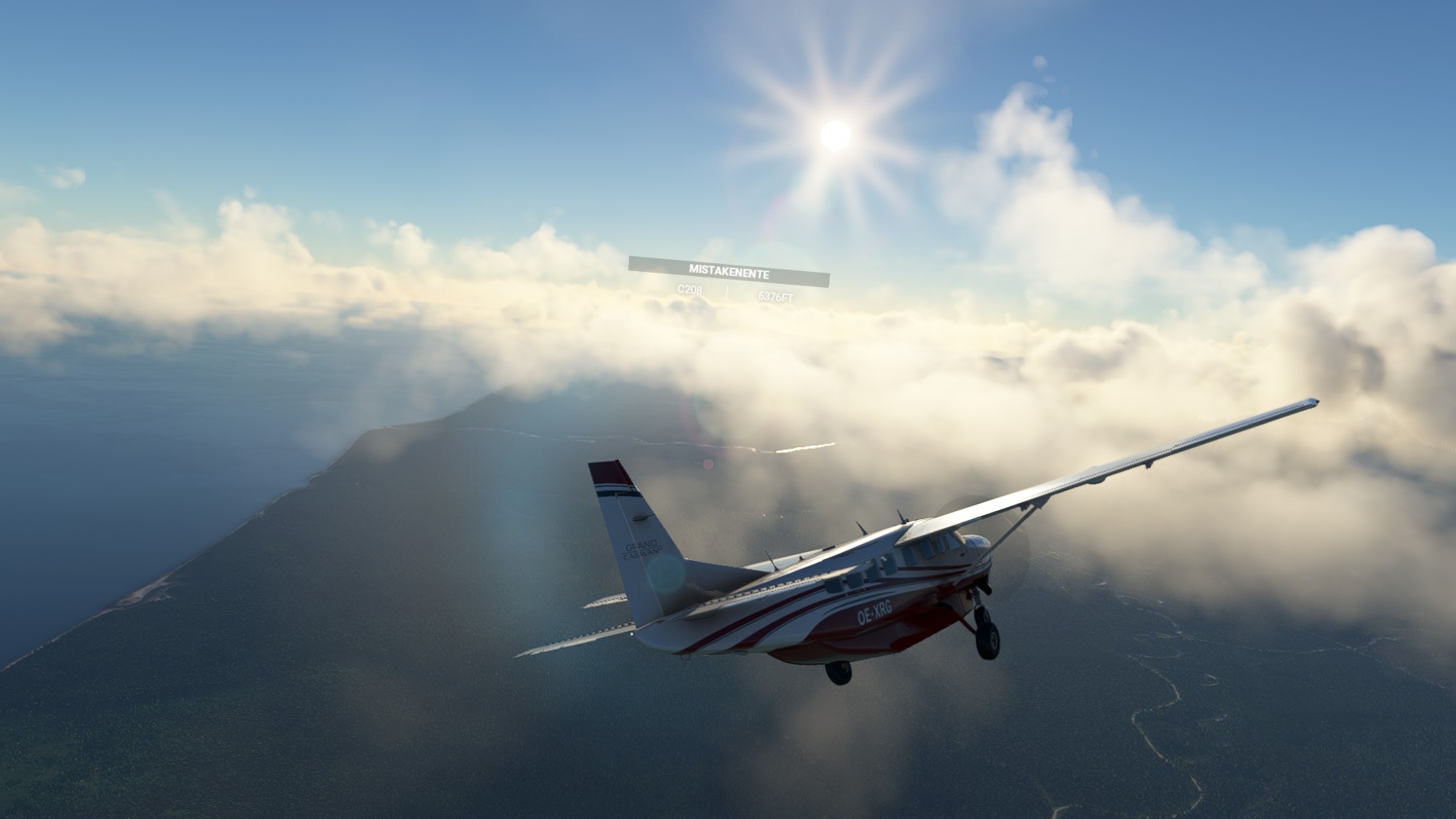
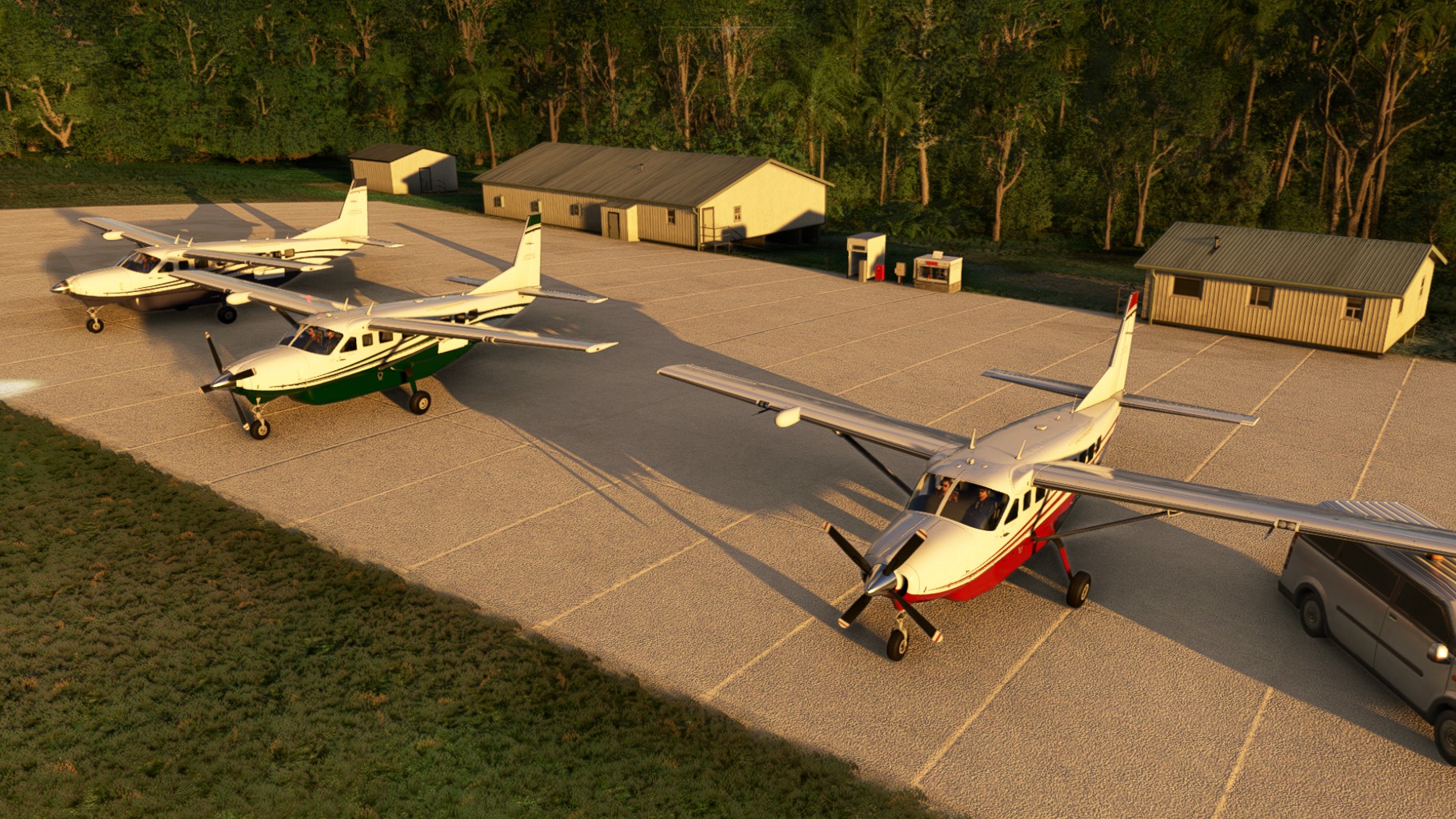
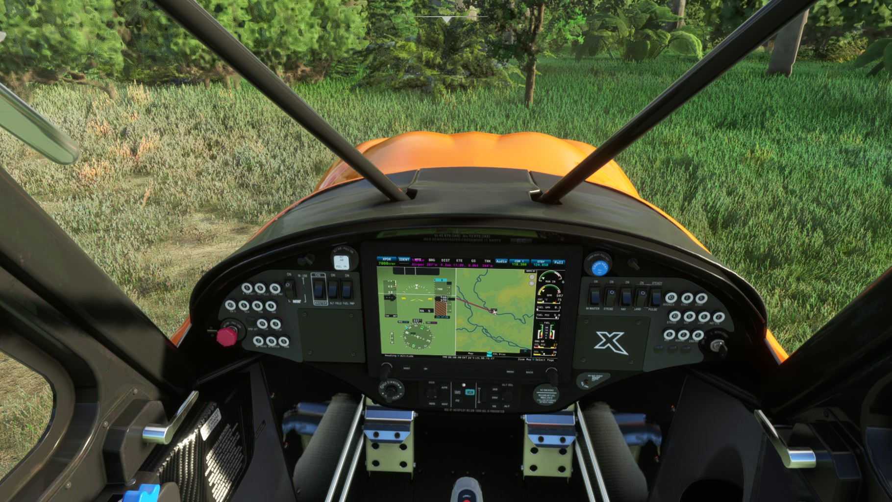
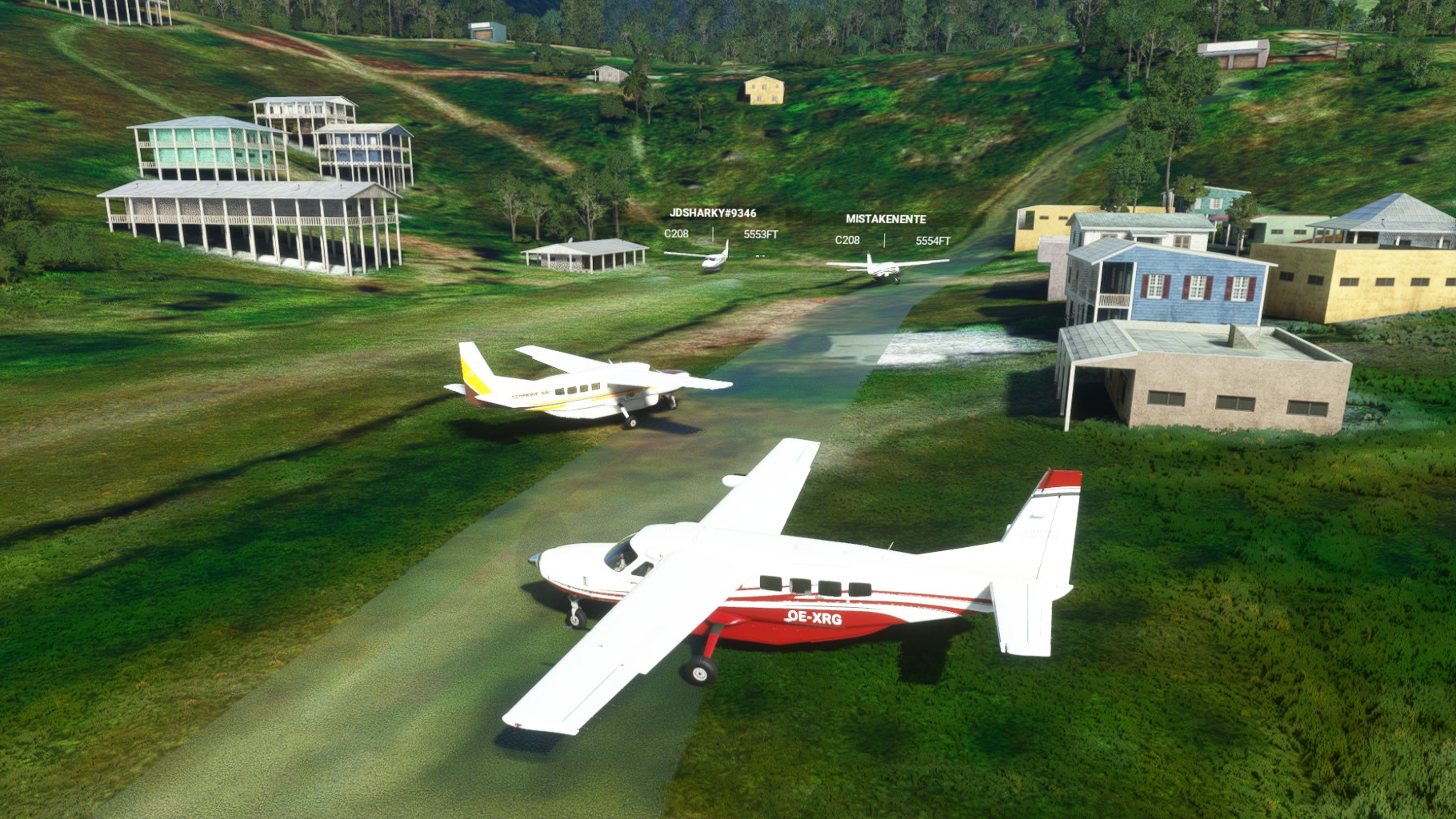
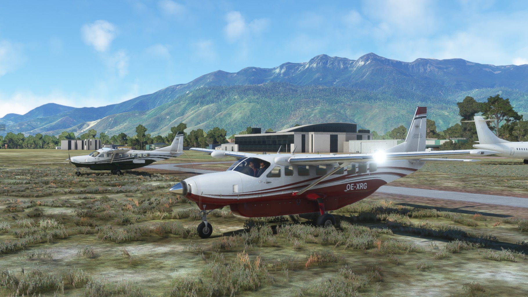
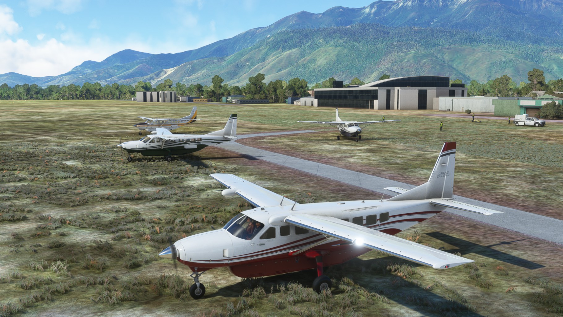
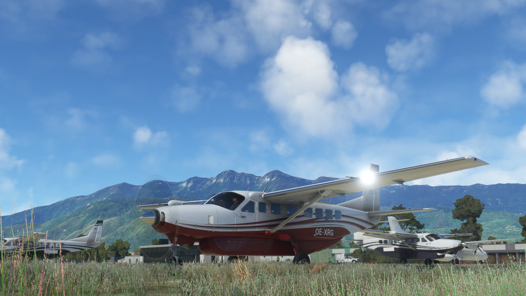
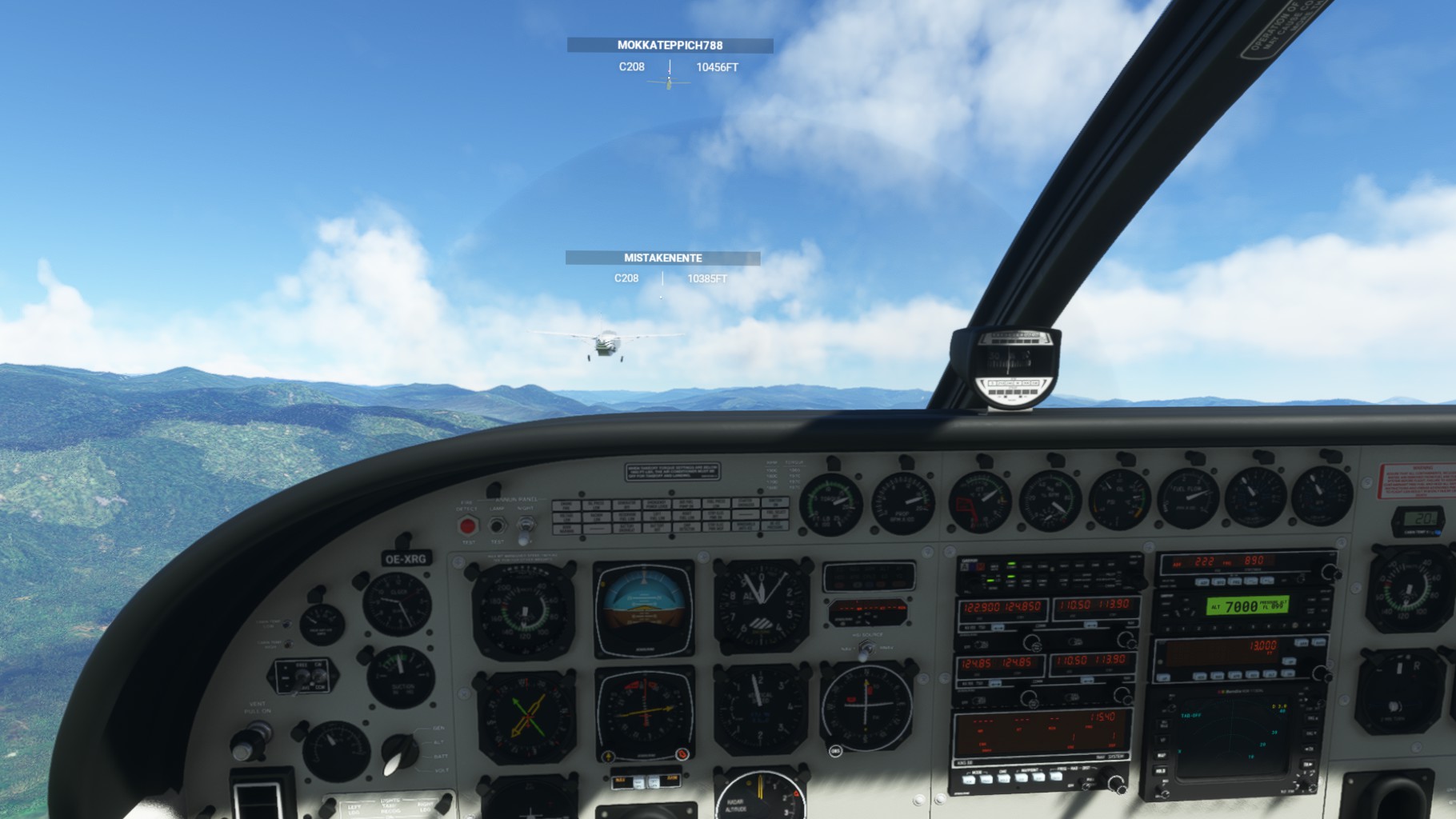
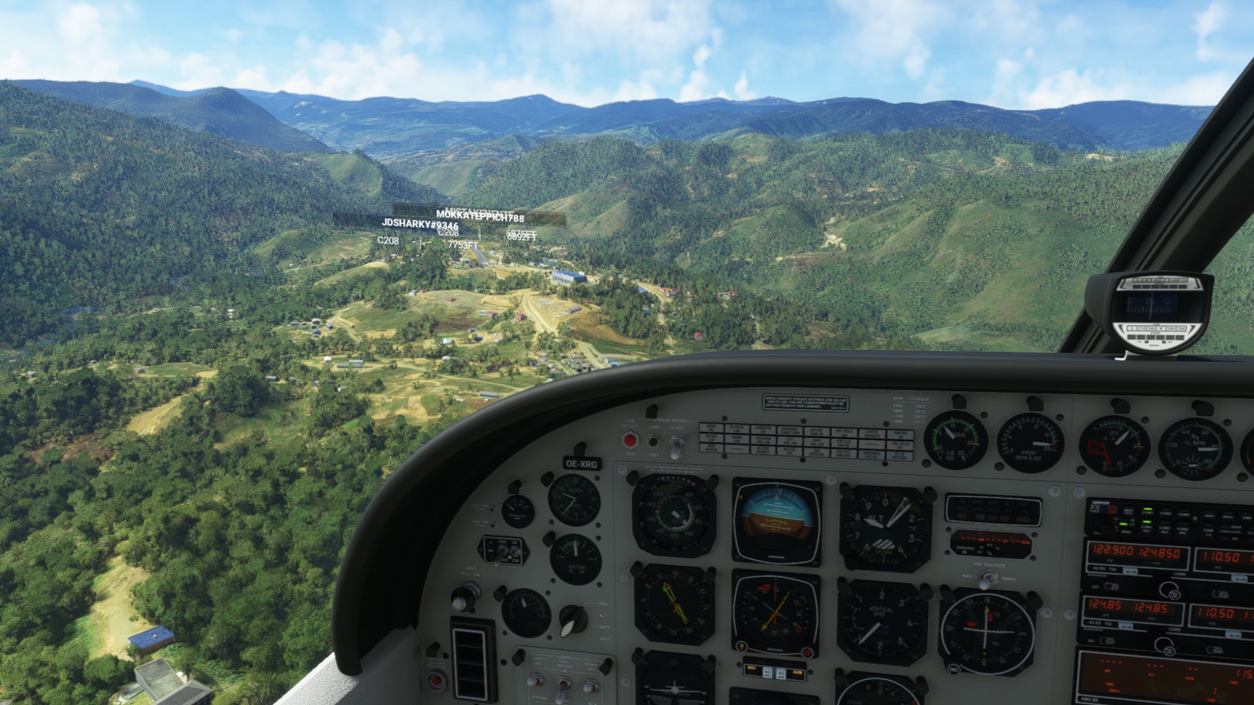
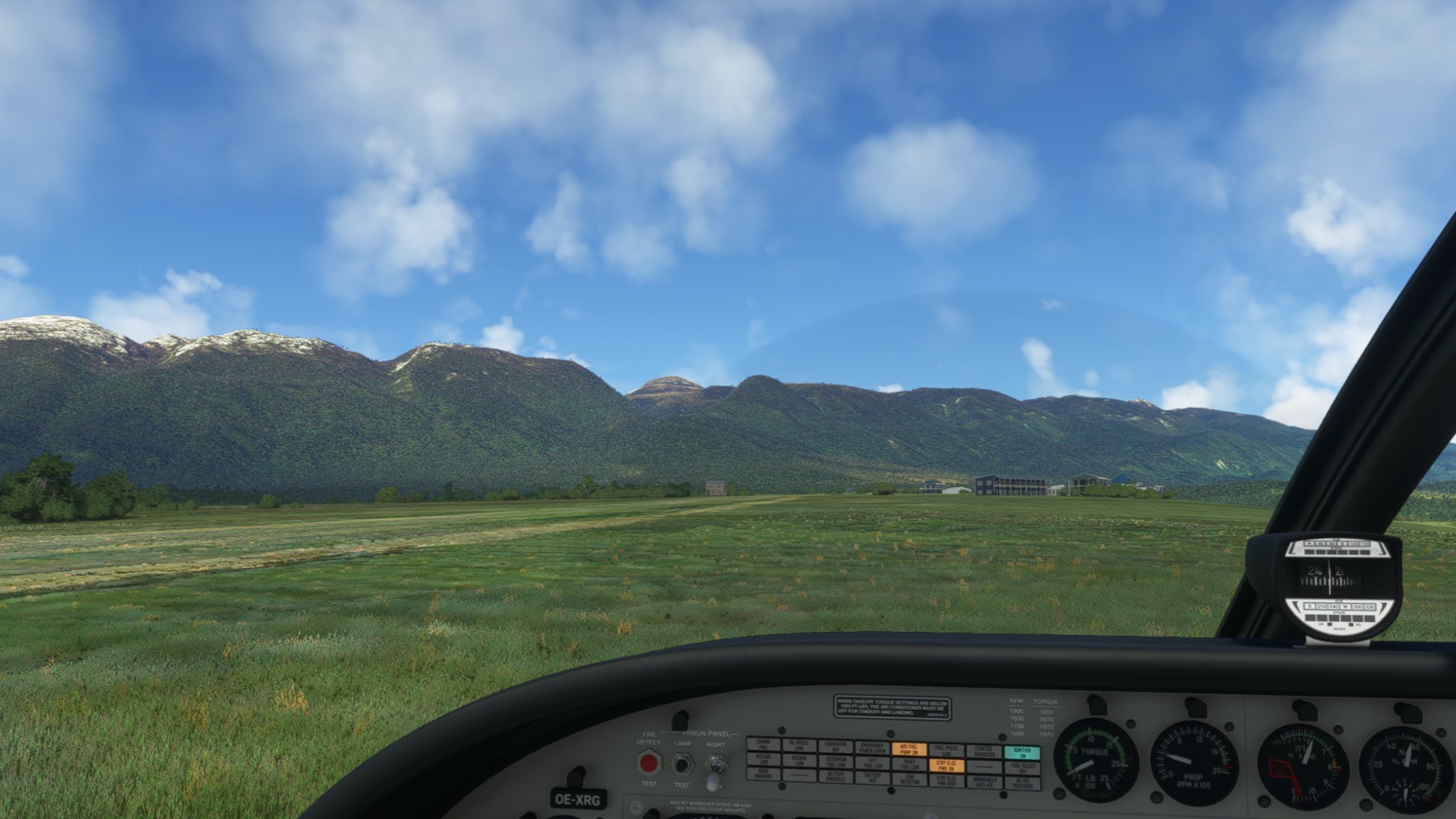
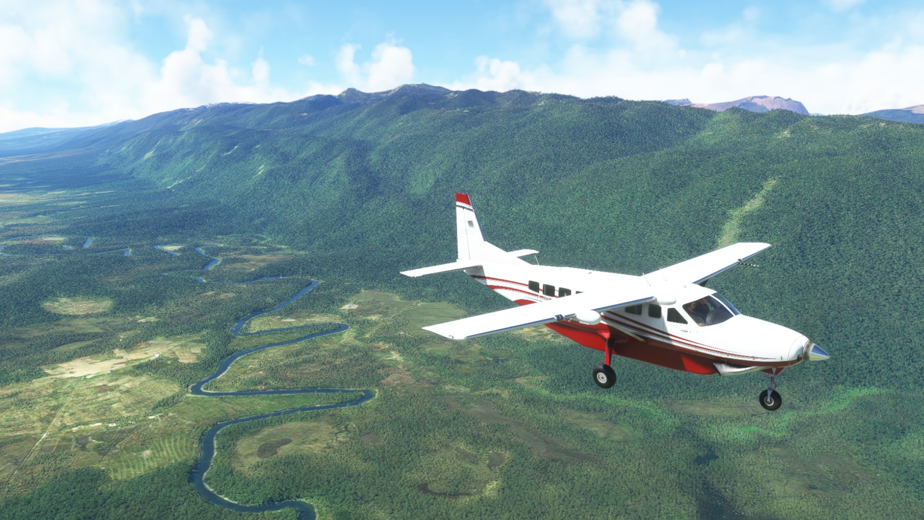
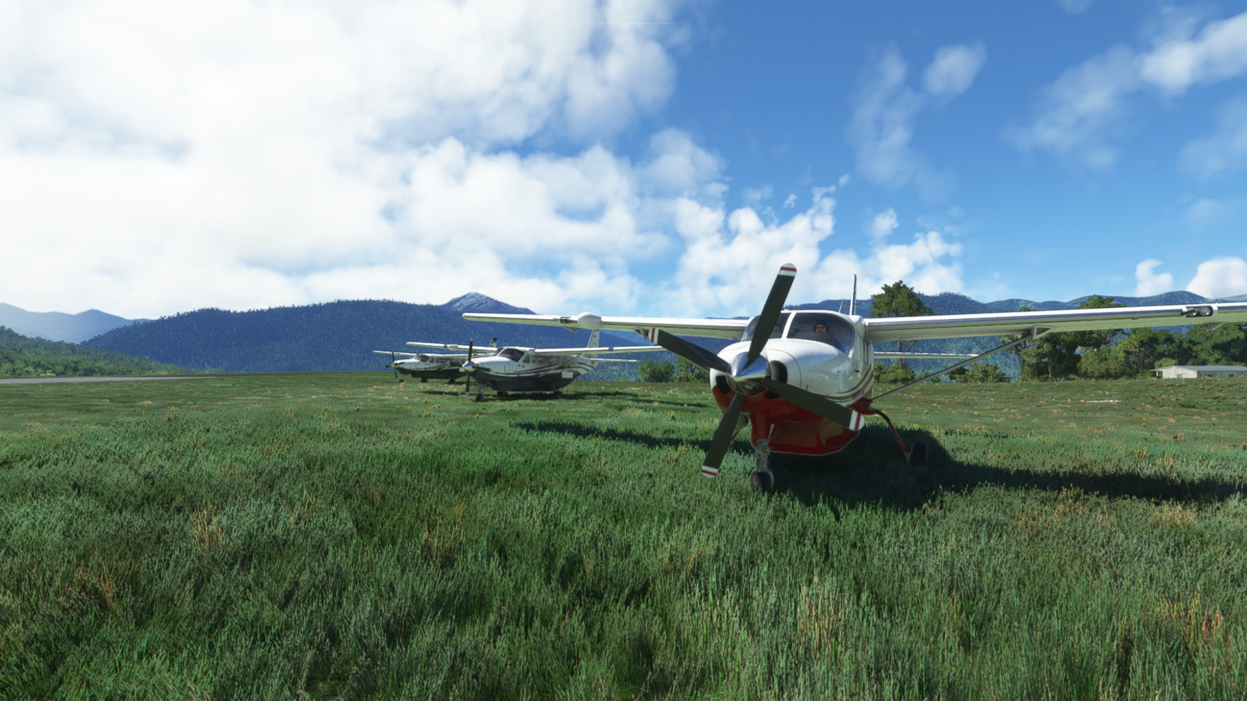
Here I changed over to the Black Square Analog Caravan which I will fly for the remainder of the trip.


Leg 5
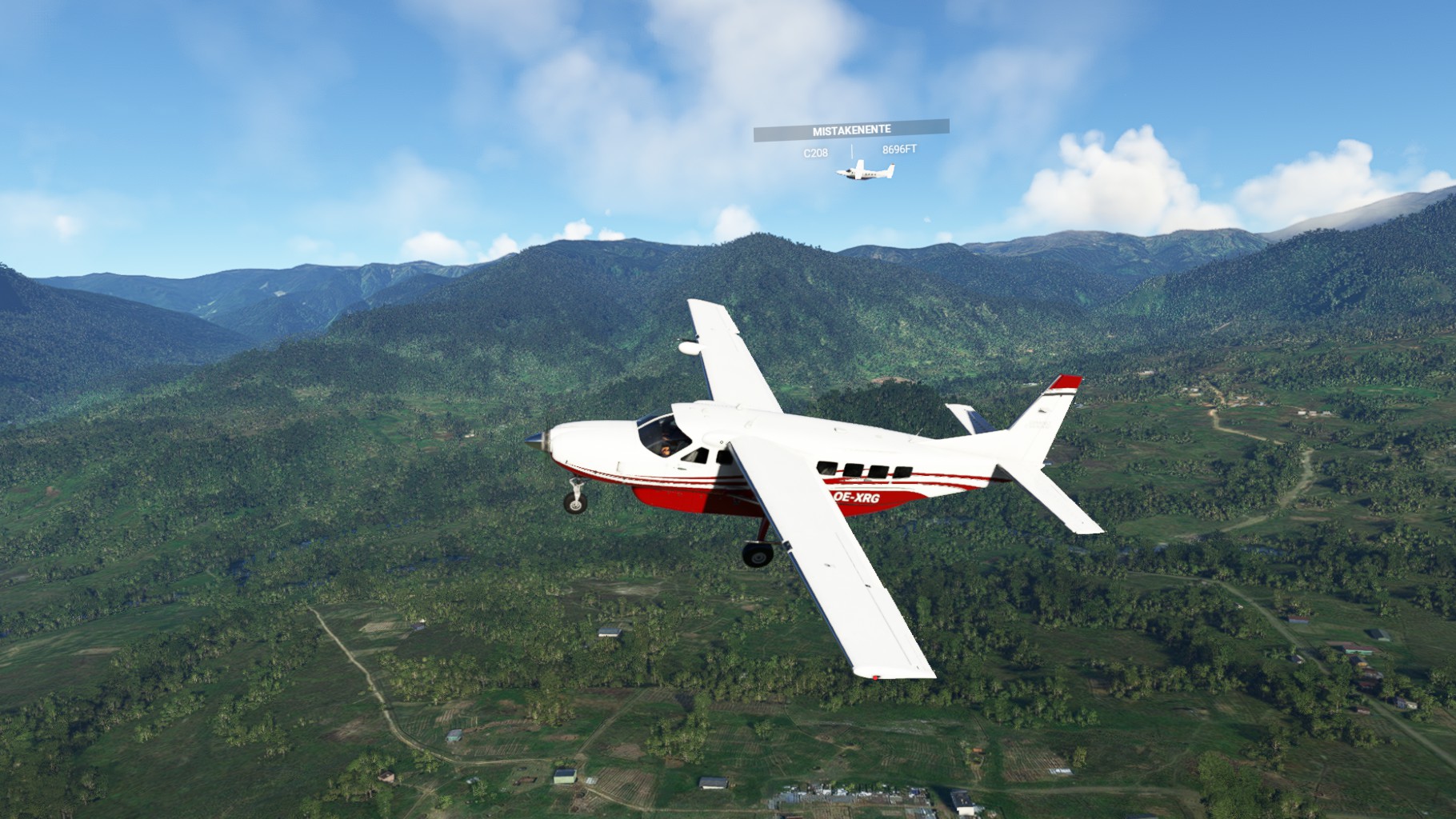
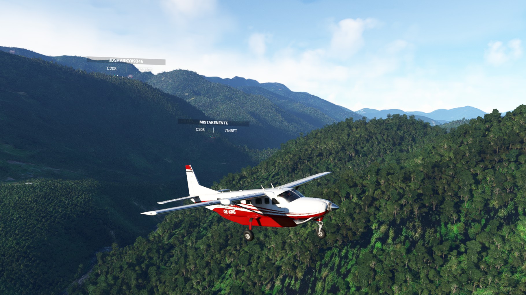
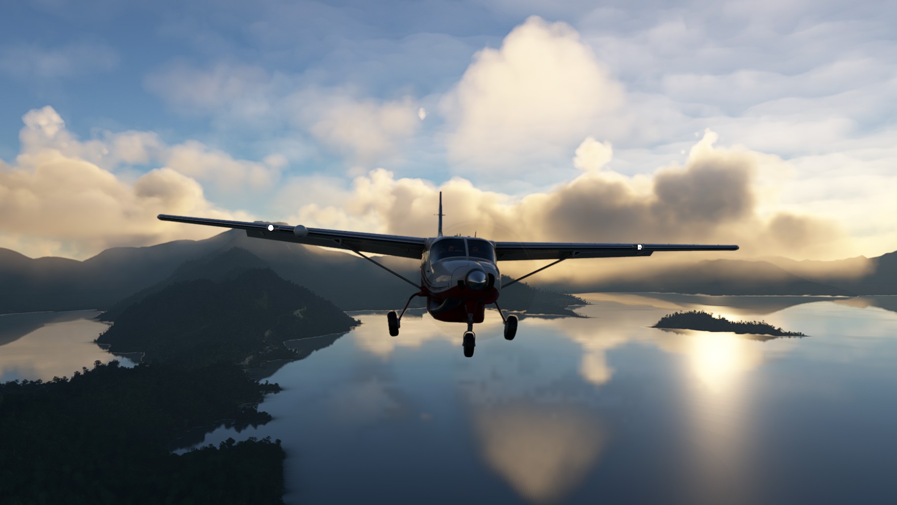
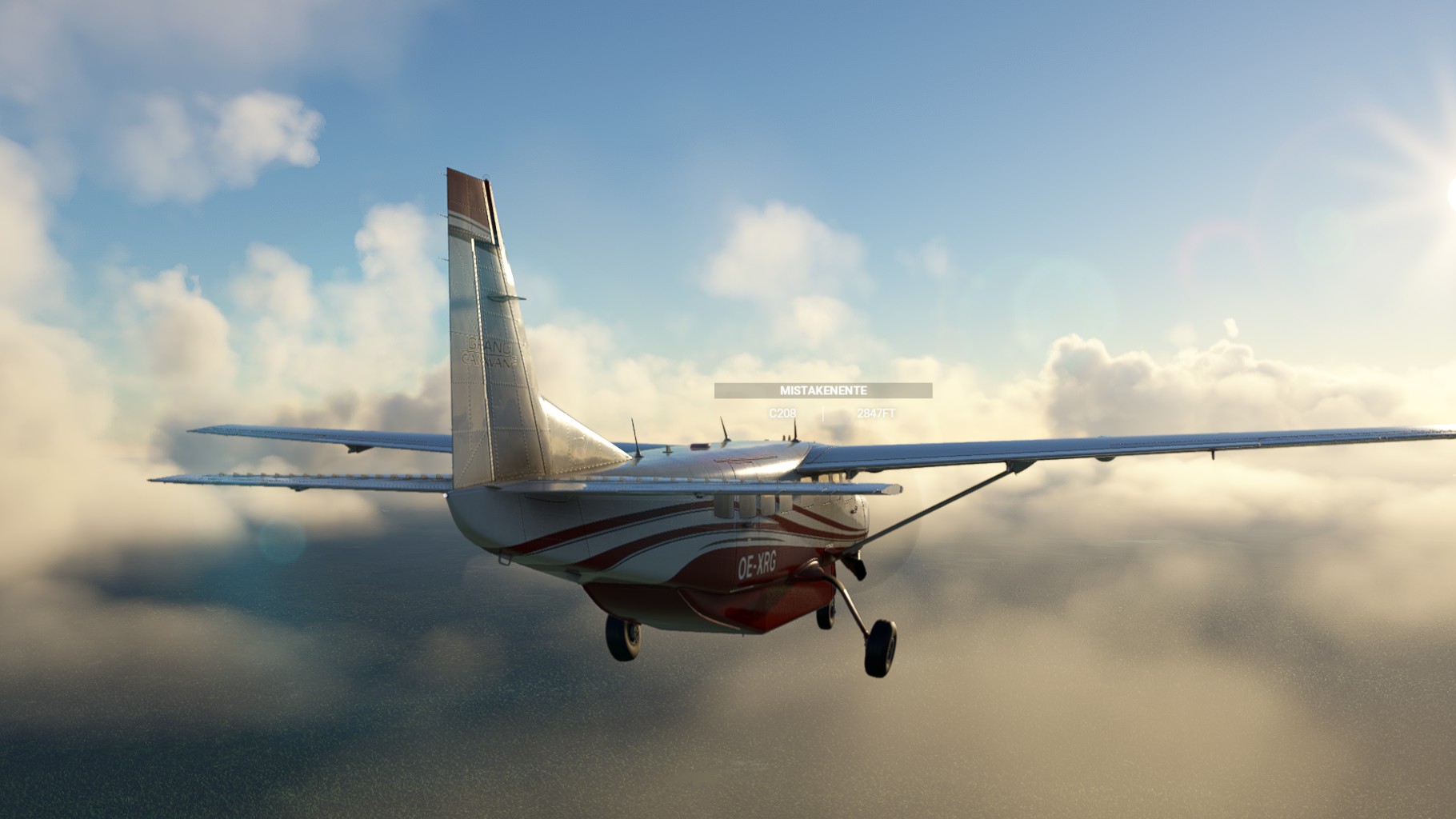
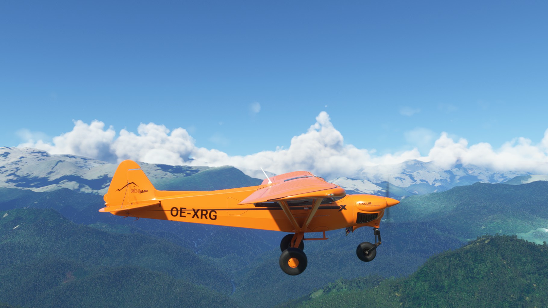
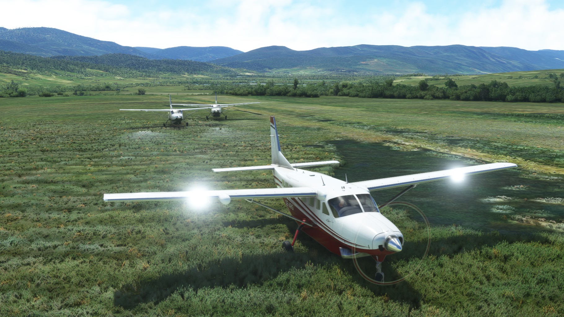
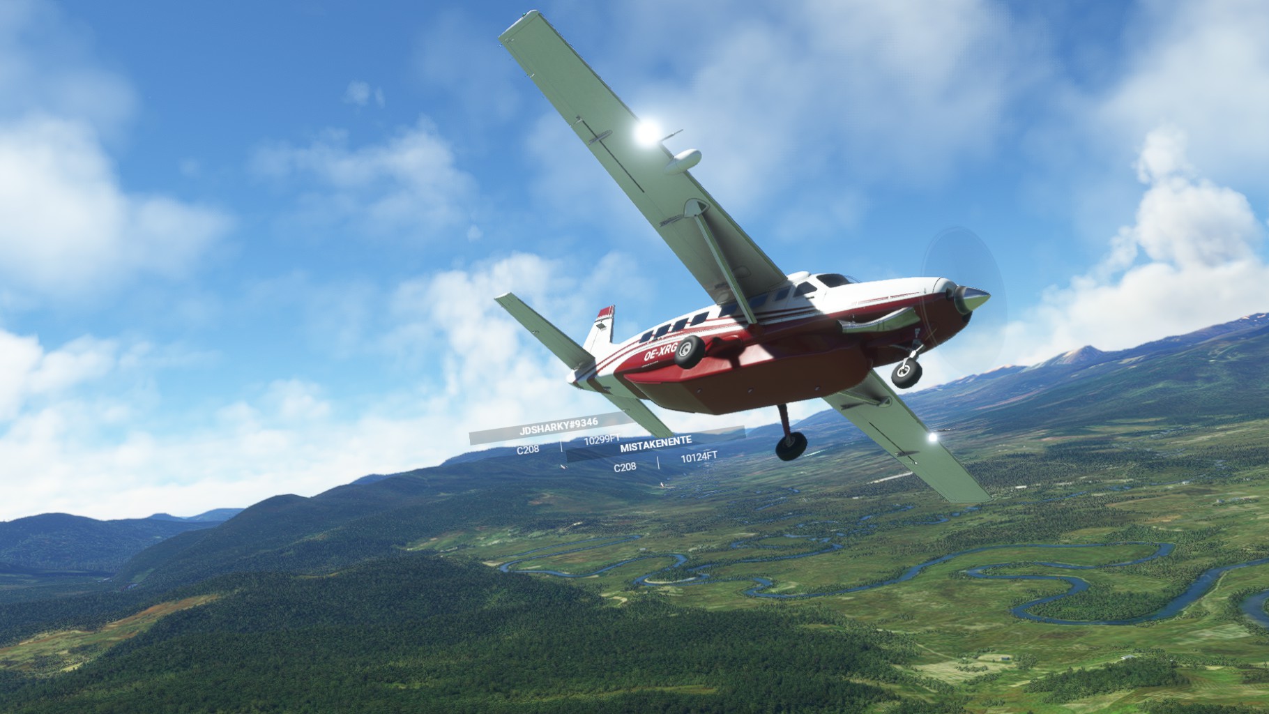
We started out of Nipsan Airport with great weather around us and departed to the West. Climbing up to 13000 ft to avoid terrain we had beautiful views surrounding us.
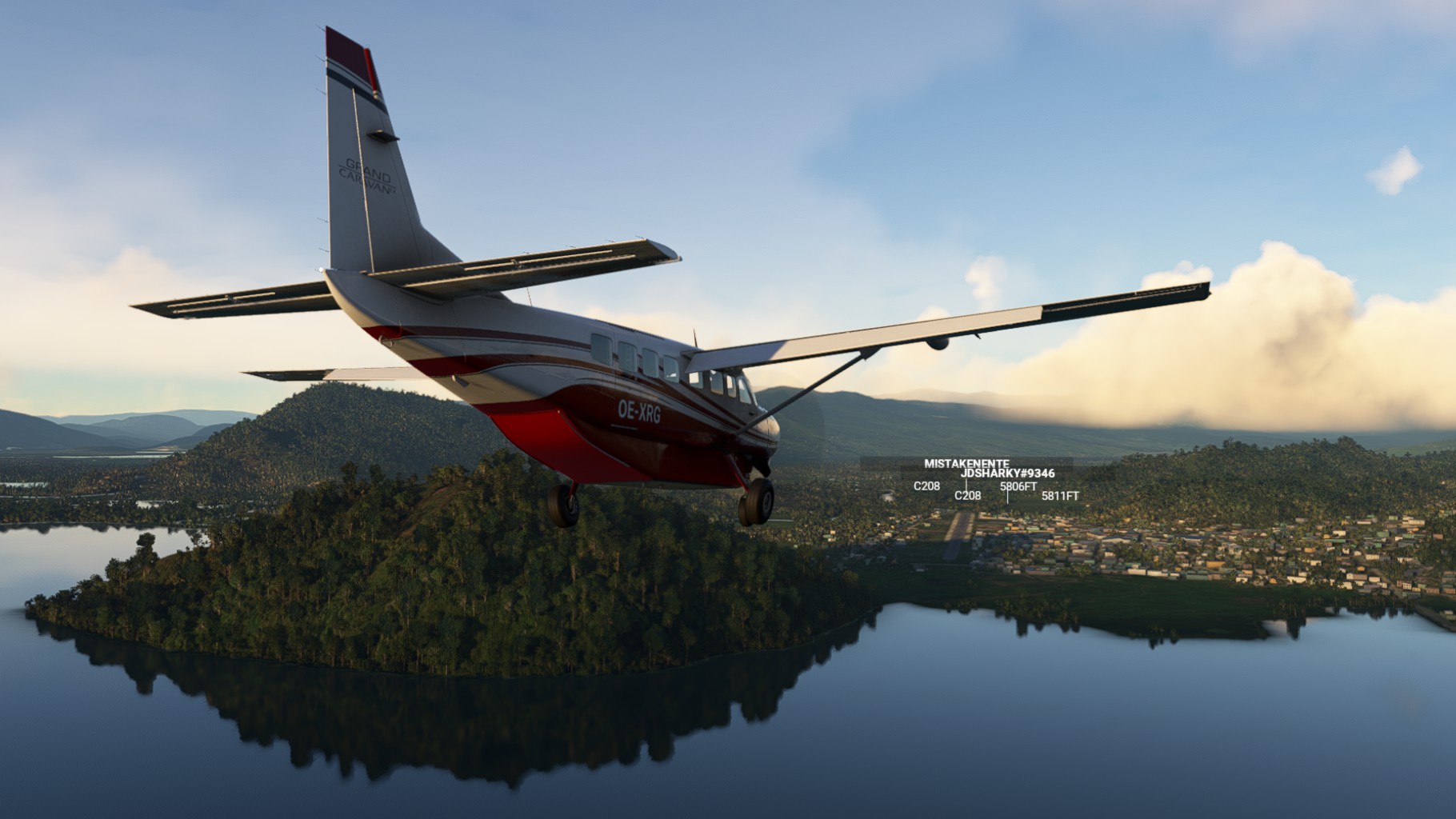
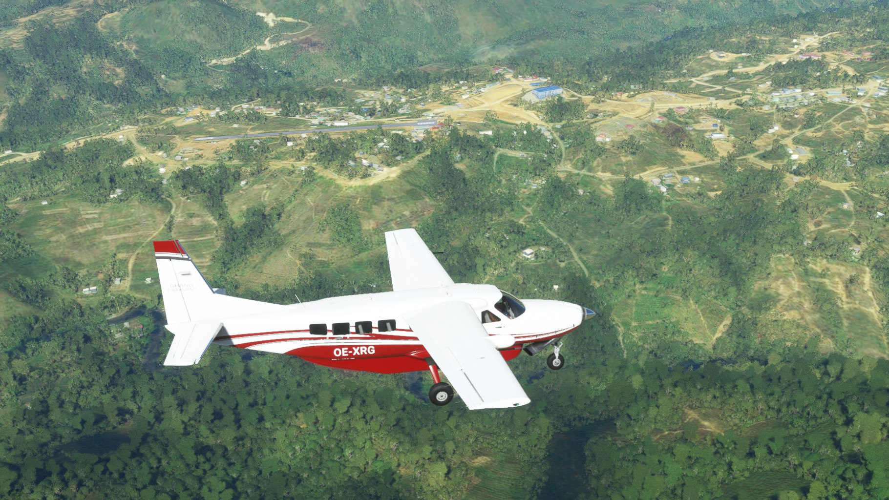
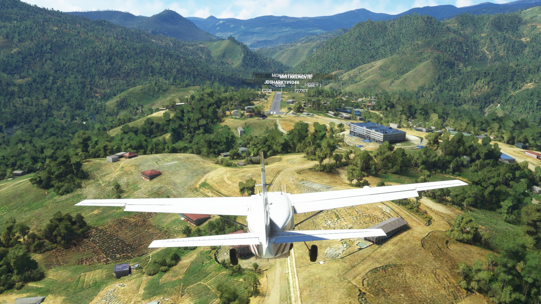
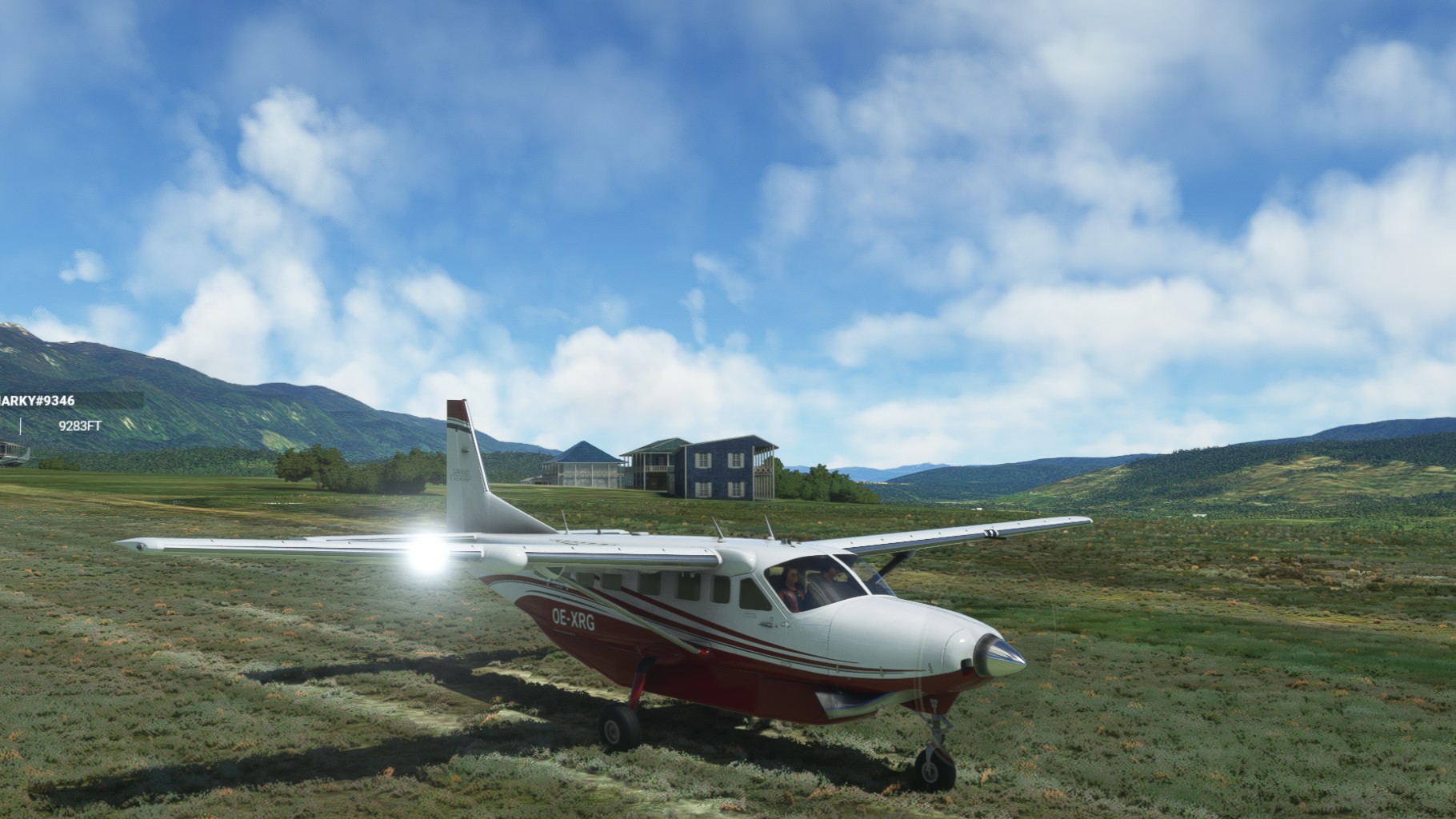
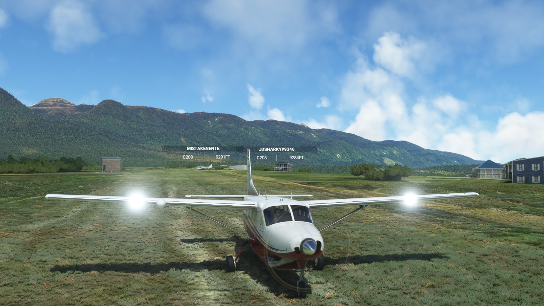
Our first stop, Wamena, was visible clearly, but there was no paved runway as indicated in Chergos navigational data. Circling to get lower we coud make out the runway lights, but no runway. After landing we could see ground personel and eqipement even, but only one single taxiway, no other pavement at all.
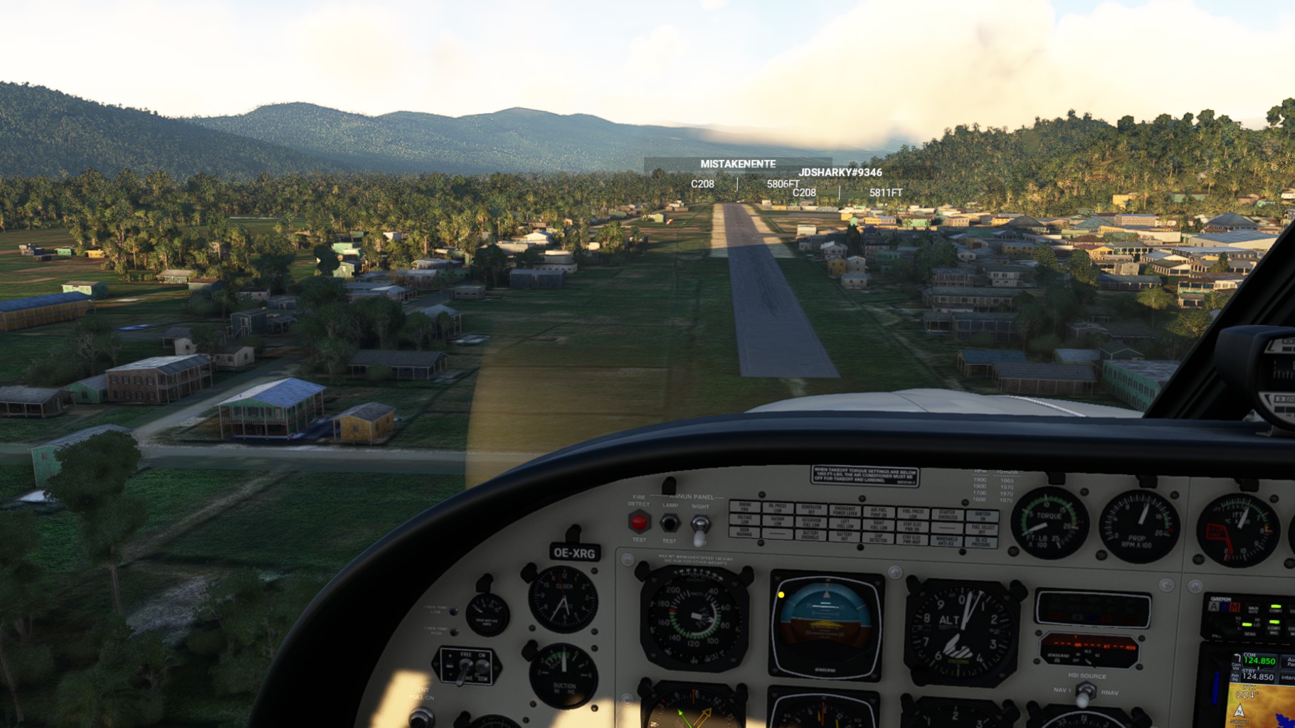
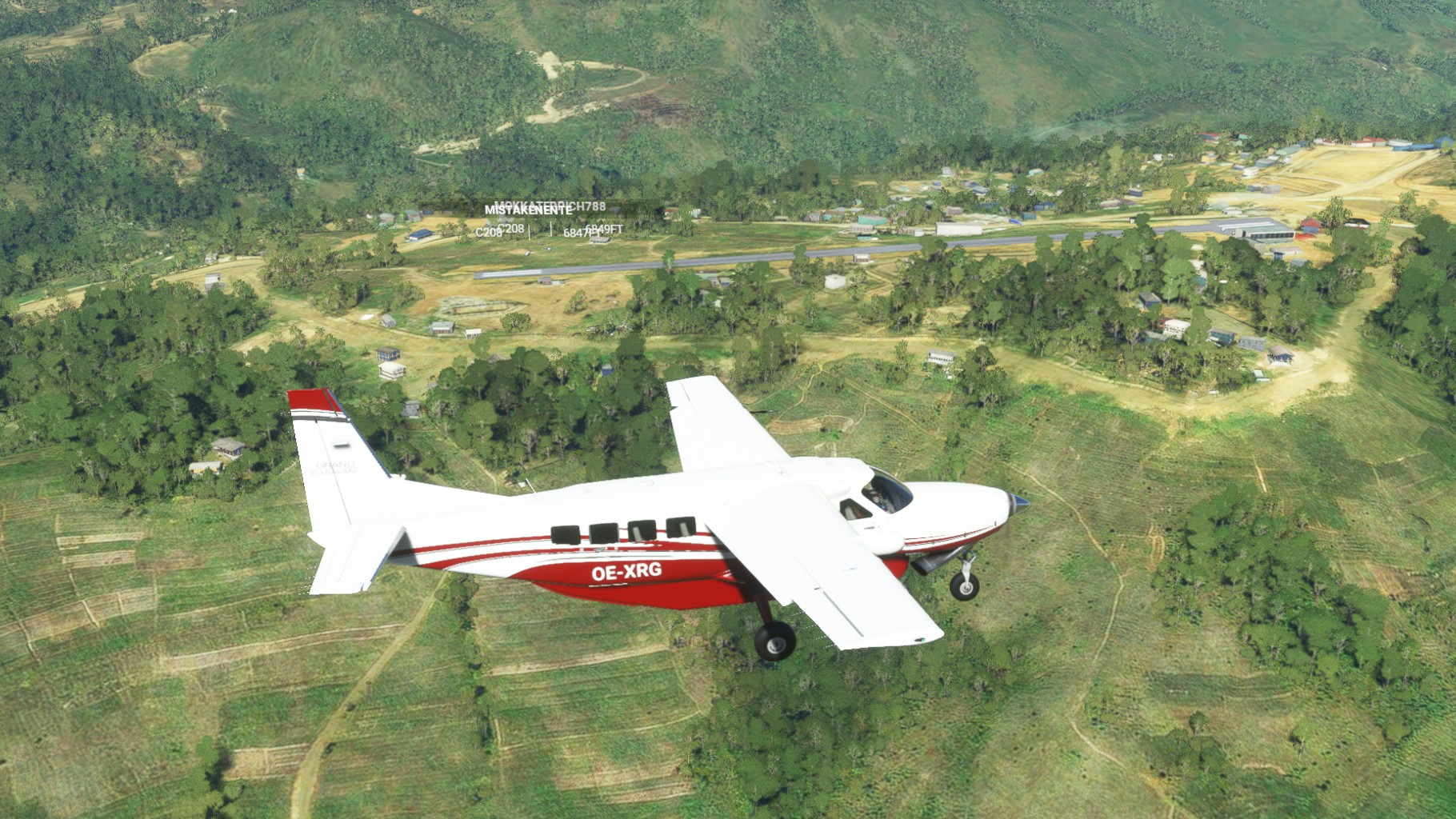
After takeoff we continued westbound and found Tiom, located beautifully on a hill top surrounded by mountains. The short and slopped asphalt runway was falling away from us on landings and I needed 3 tries to finally get the Caravan down in time. But definitly one of the most beautiful locations on this trip so far. Mario had to leave after this one, but Chergo, Joerg and me had some more time, so we continued.
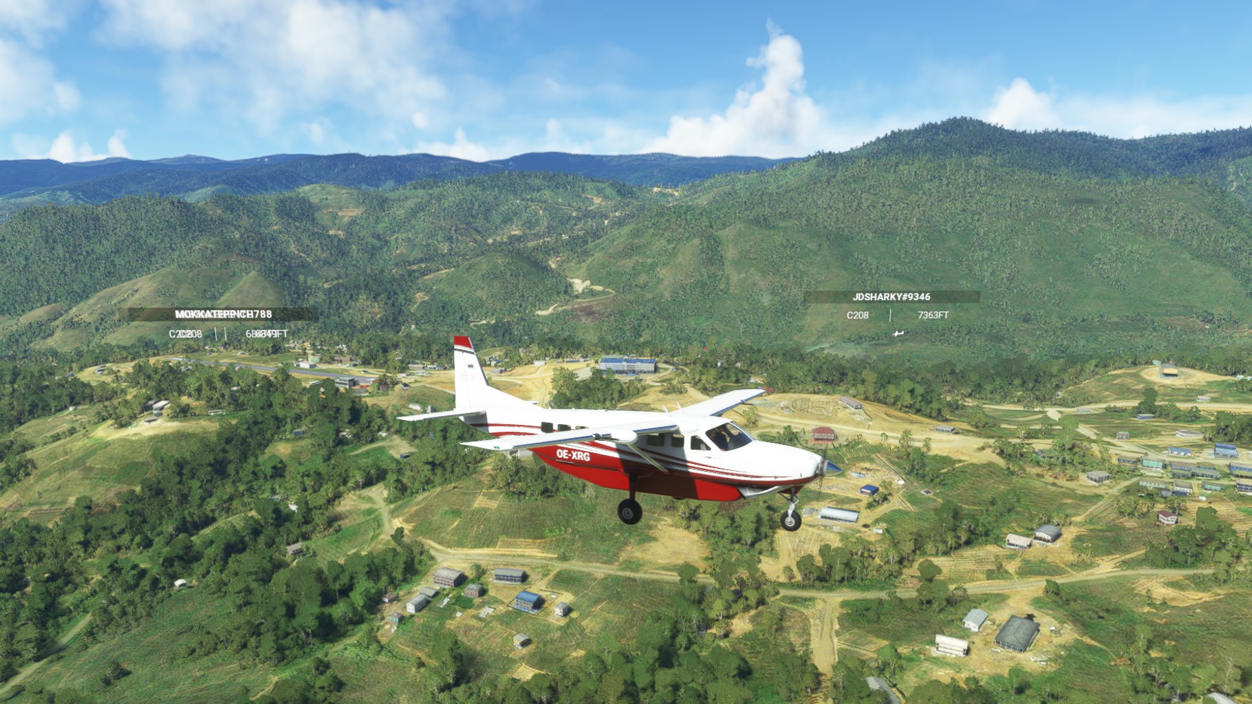
Immediatley after the start I recongized my artifical horizon was gone and the vacuum pump showed zero pressure. This prevented me from using any auotpilot or navigational aids, not great in these surroundings. So we made a quick dive for the nearest strip, Kwijawagi, to get the vaccum pump repaired.
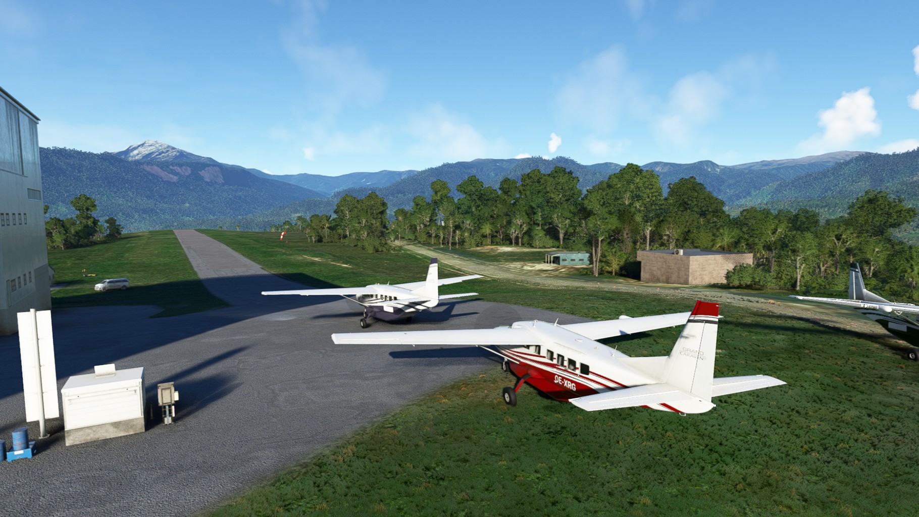
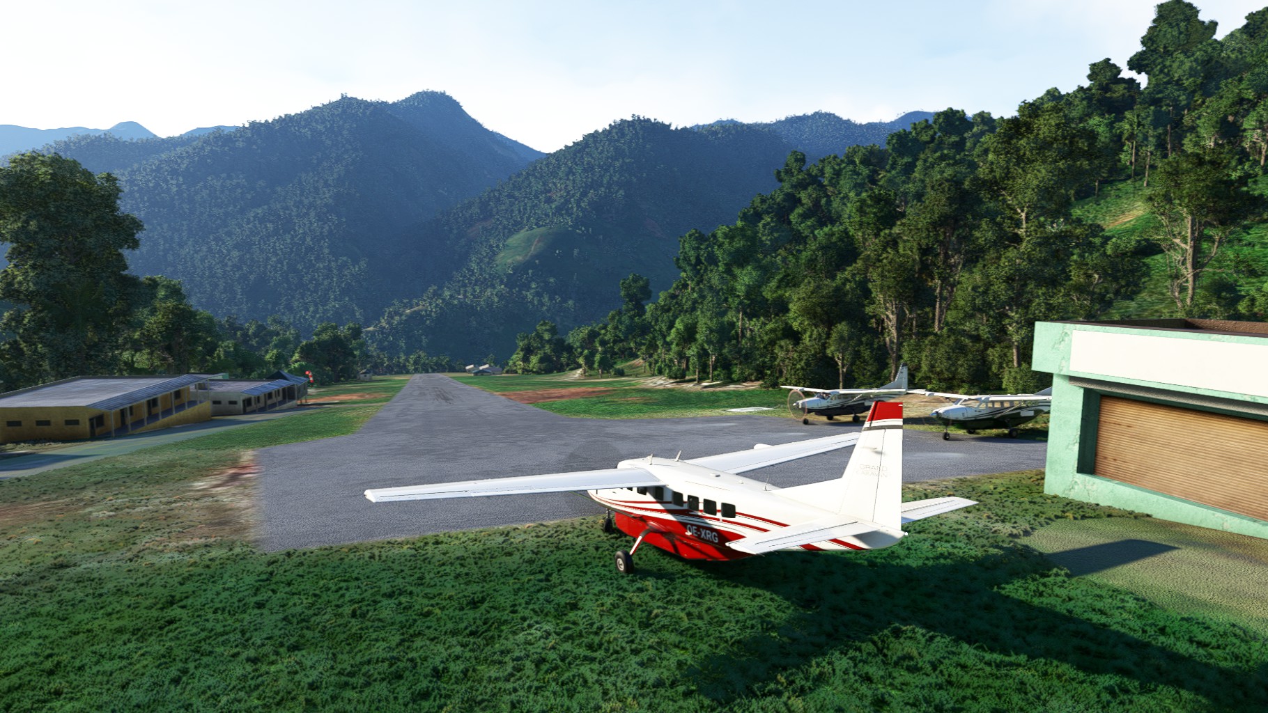
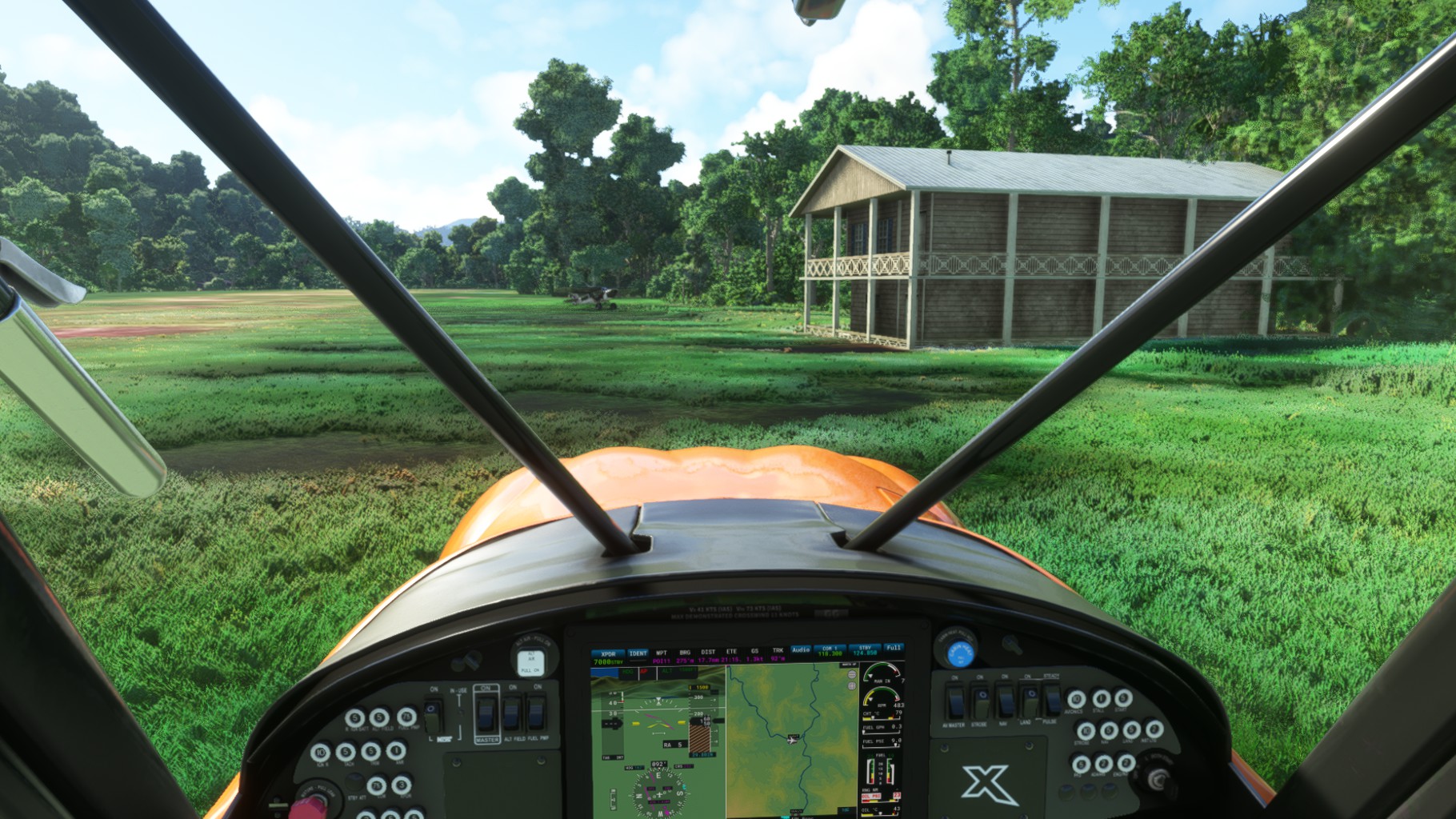
We took off for our final stretch and followed the river and valley below us up Illaga Aiport. Again a very short and slopped runway with a towering hangar right next to it. After we had gotten down our Caravans finally, we turned off the enignes and took in the view.
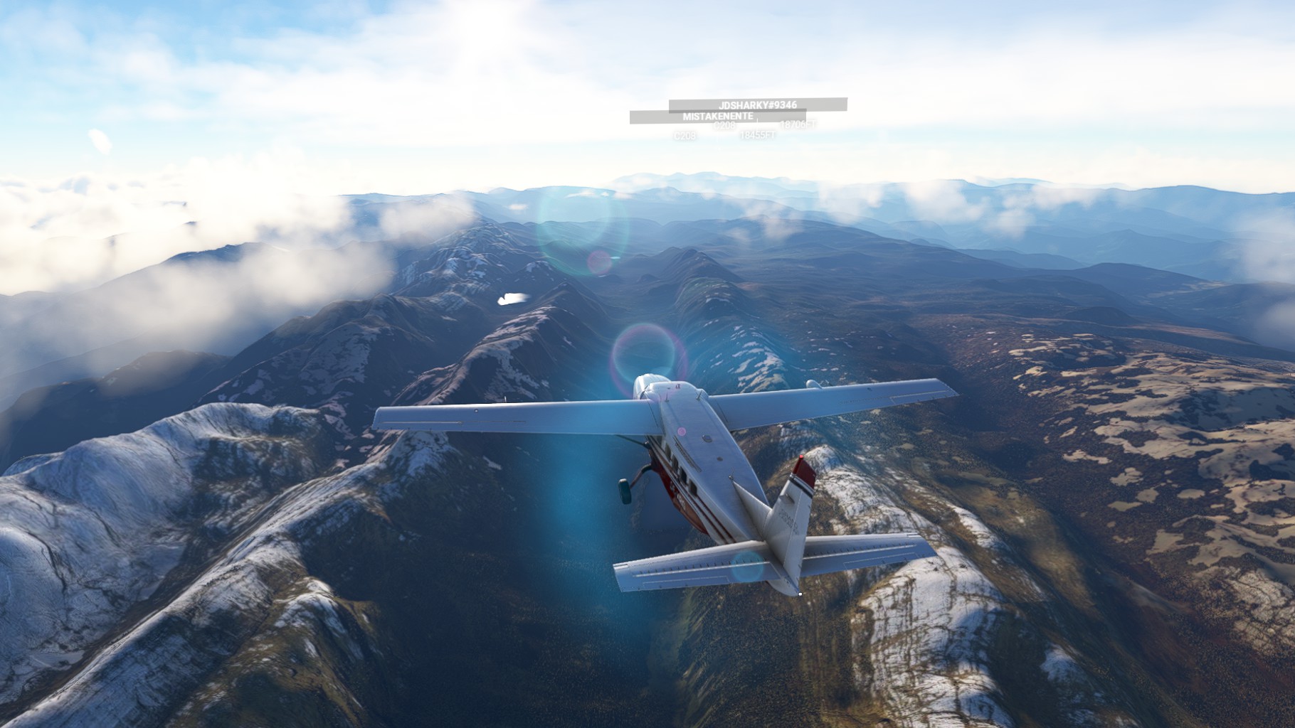
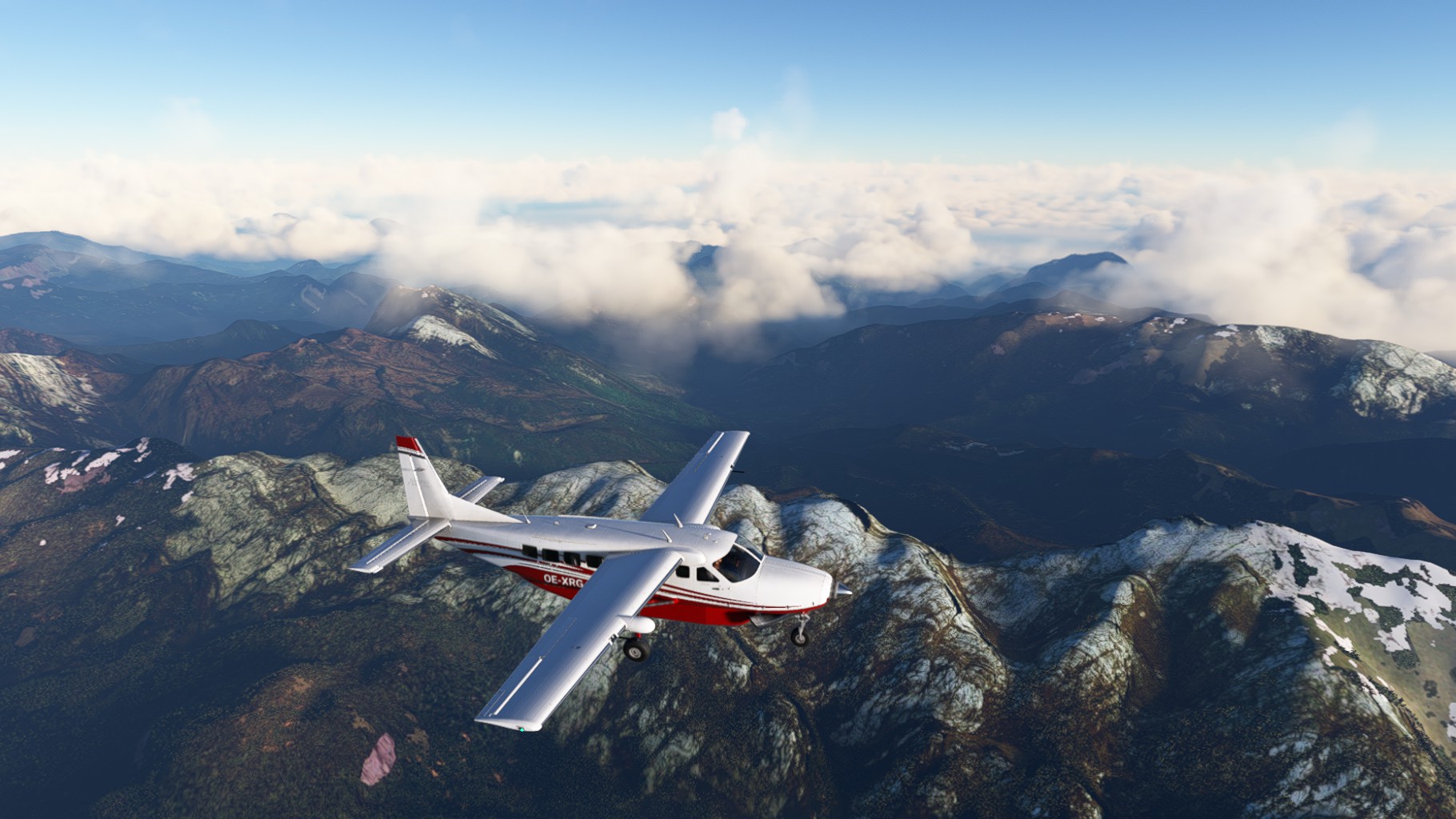
Leg 6
We (Chergo and Jörg in as well) took off from Illaga Airport. Even the start is a challenge at these altitudes with the airport lying at 7.500 ft. We just made it into the air before turning West again.
Our first stop, Beoga, a beautiful little airport with a quite difficult approach. We had to dive hard to get our Caravans back into the valley from 12.000ft to 6.000ft. A problem we should encounter numerous times on this flight. But the plane is made for this kind of operations.
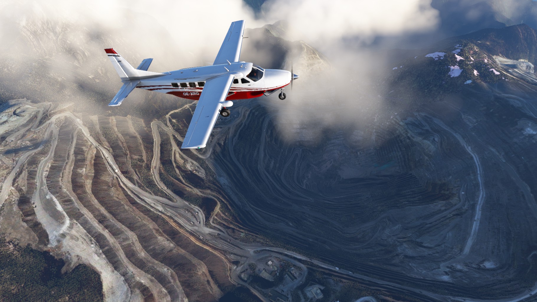
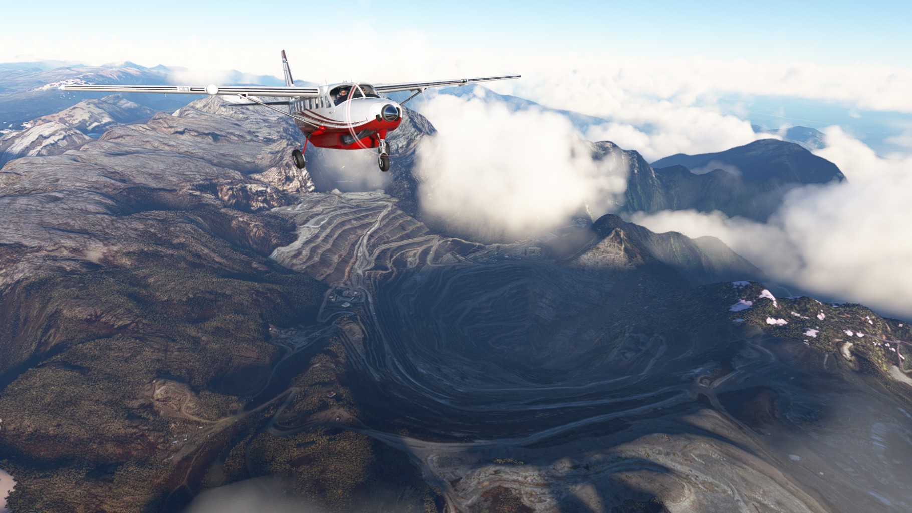
After taking off again we turned South towards Puncak Jaya. Standing at 4884m (over 16.000ft) this is the highest peak in Oceania and the highest one on an island worldwide. Right next to it is the Grasberg Mine, the biggest gold mine and the most efficient copper mine in the world – simultaneously. Its crater is 2km wide and over 300m deep.
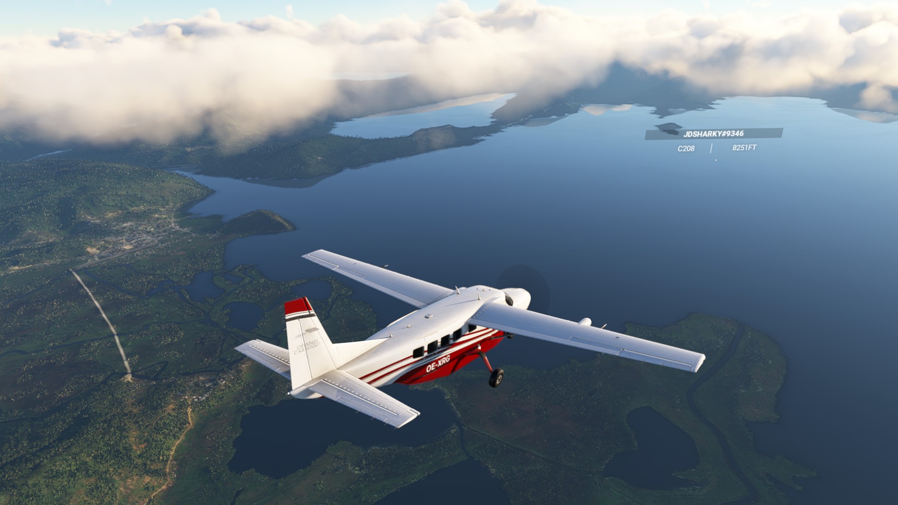
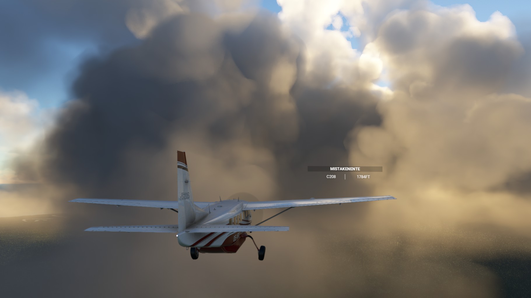
We continued west again over the ridges of Fairytale Valley until we reached Paniani Lake. We cricled out over the lake to confront a 20kt crosswind on the landing into Enarotali Airport.
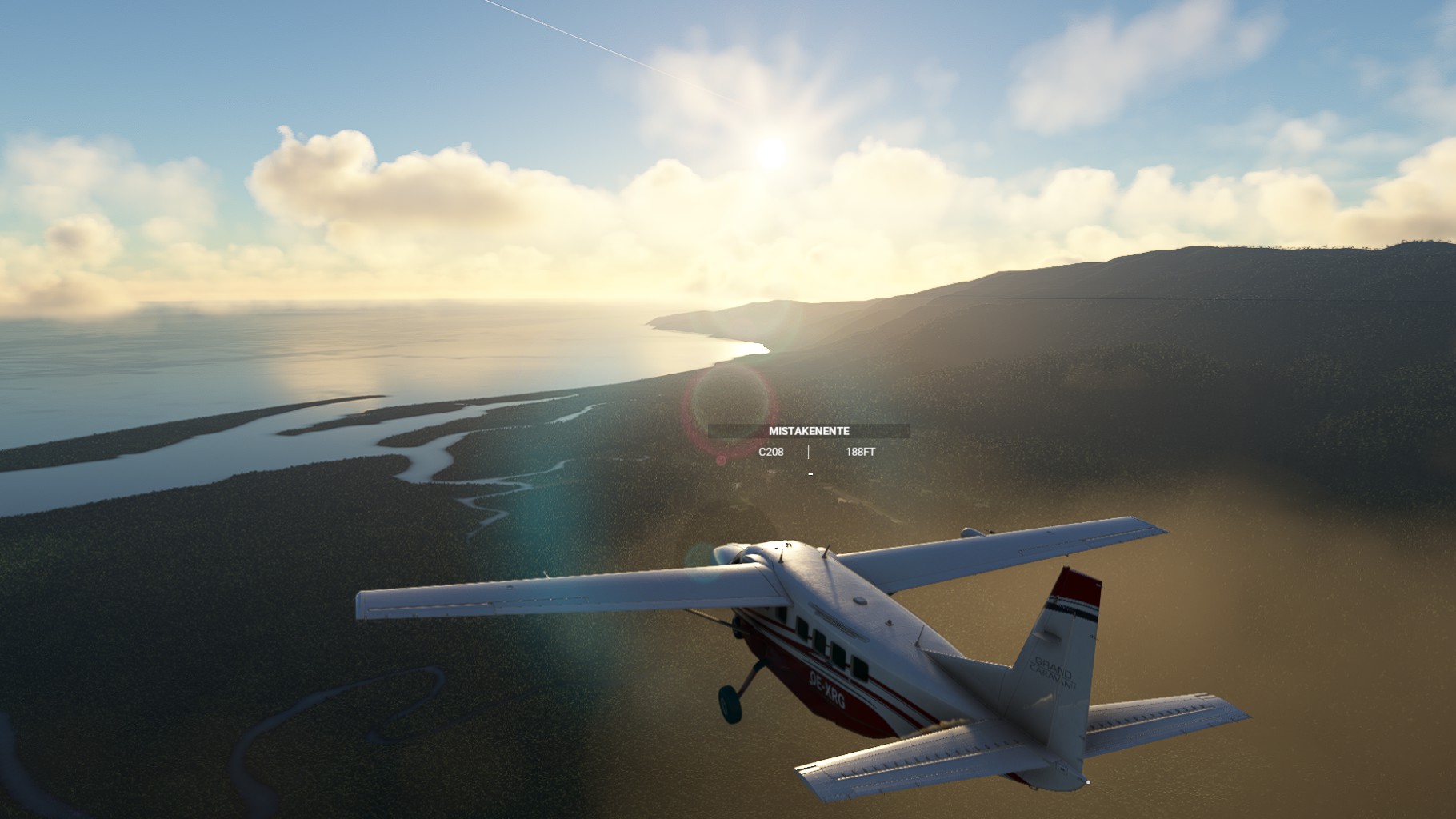
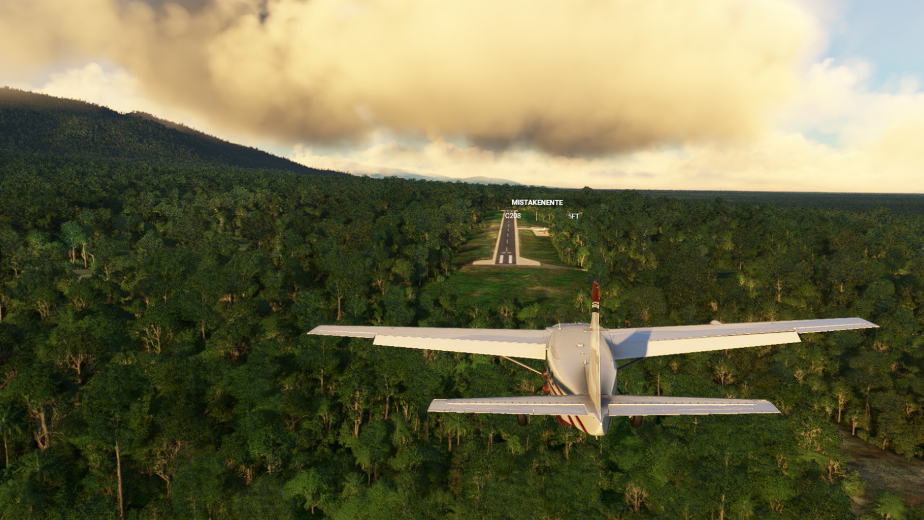
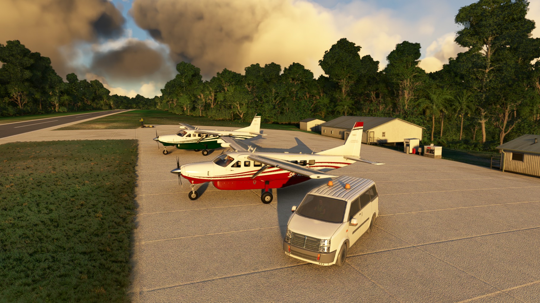
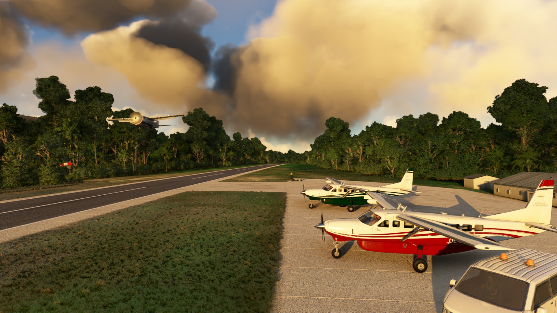
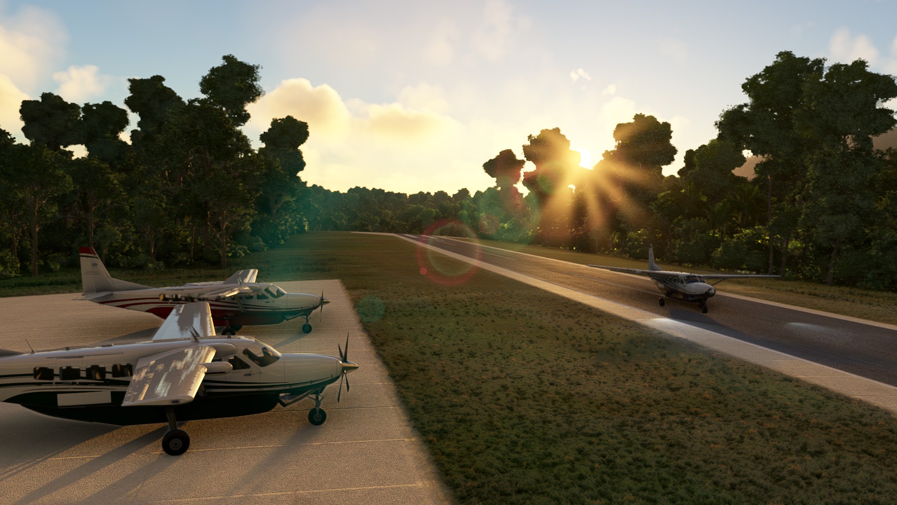
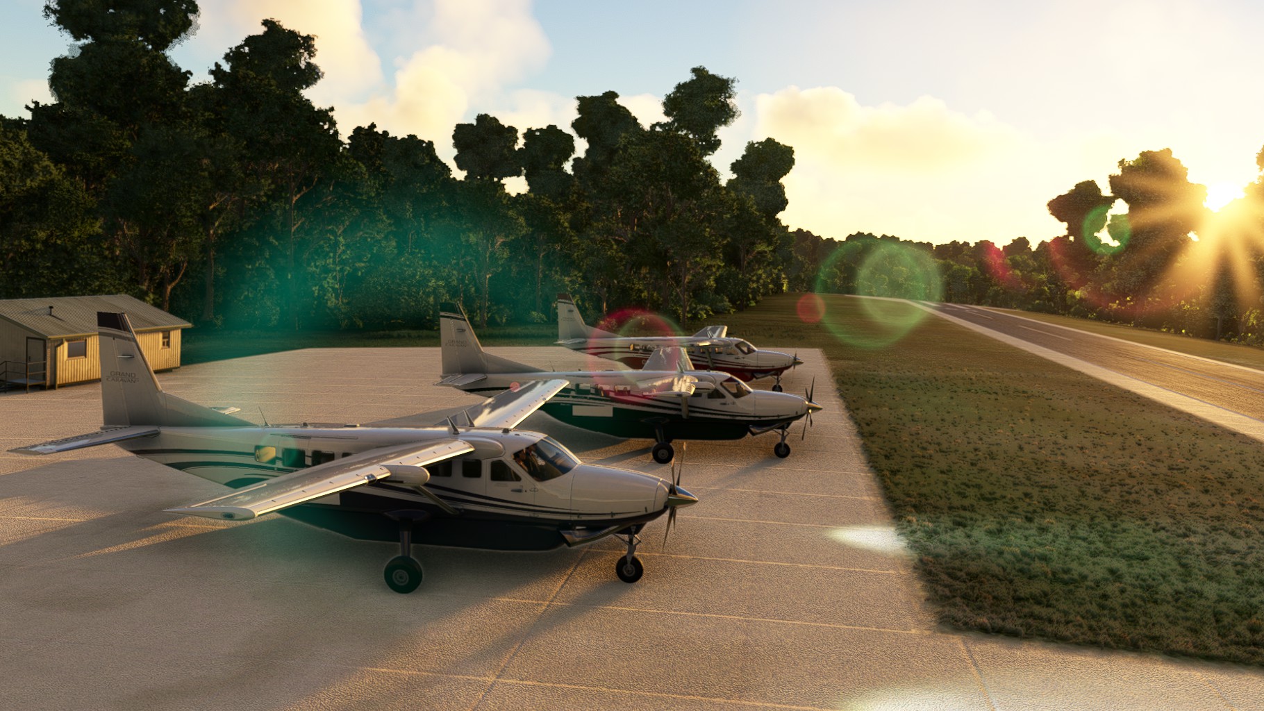
The final stretch awaited – down to the South to reach the shores of New Guinea. Clouds settled in on the way and the low sun in the sky made it diffcult to see ahead. As we reached the shore we turned West one more time towards Potowayburu. The airport is hidden away in the forest and hard to make out alltough near the coast. I breezed in the last touchdown and we could admire the sunset after we had gathered at the small apron.